Northern Indiana
Weather Forecast Office
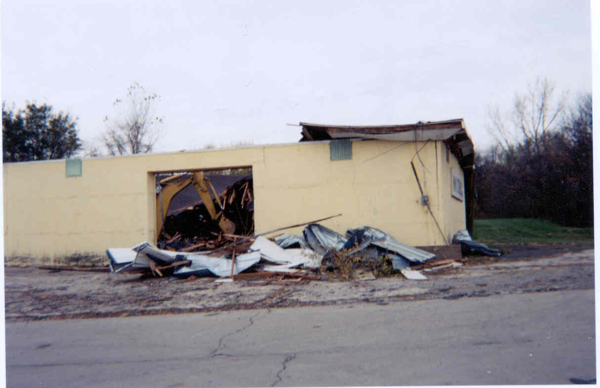
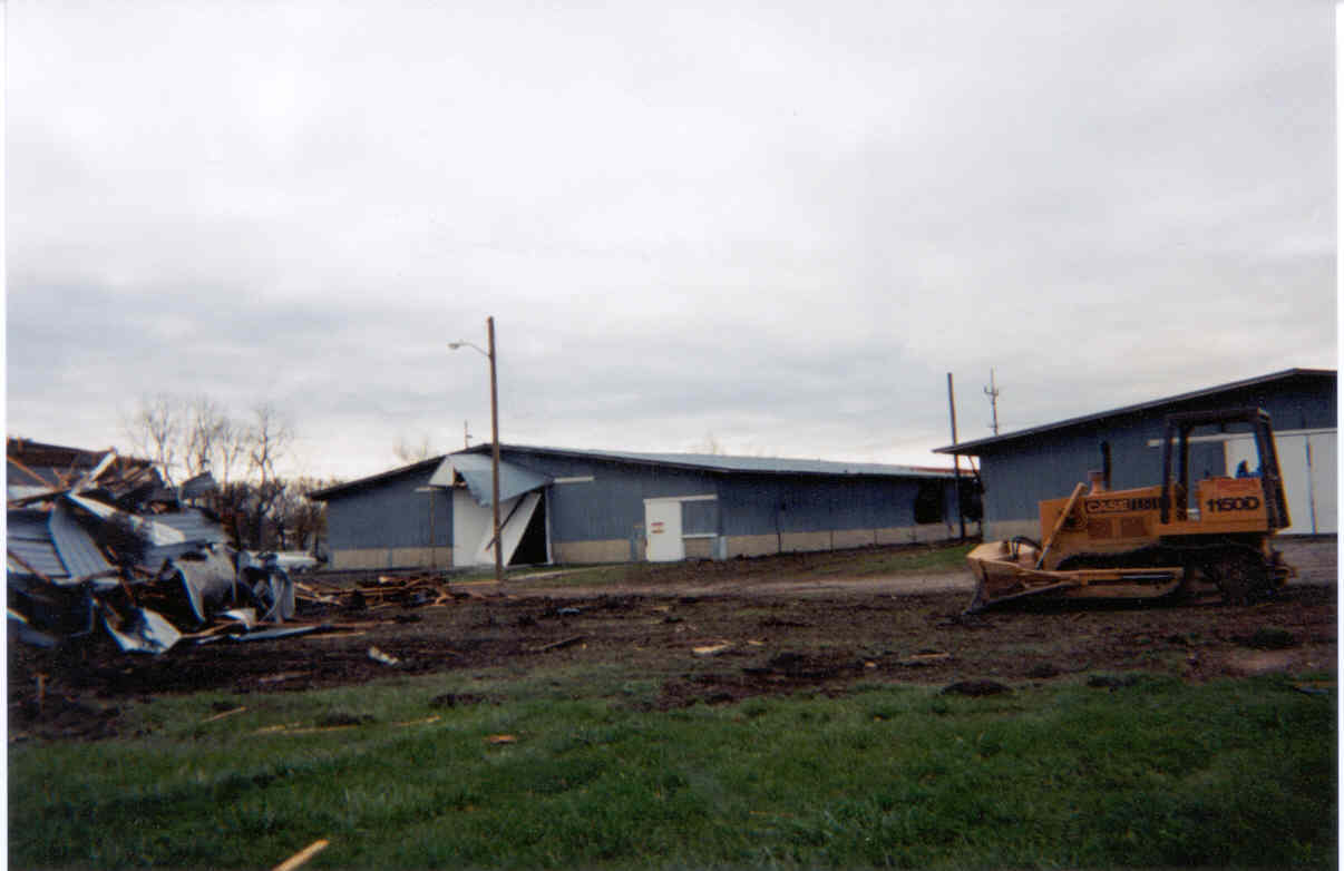
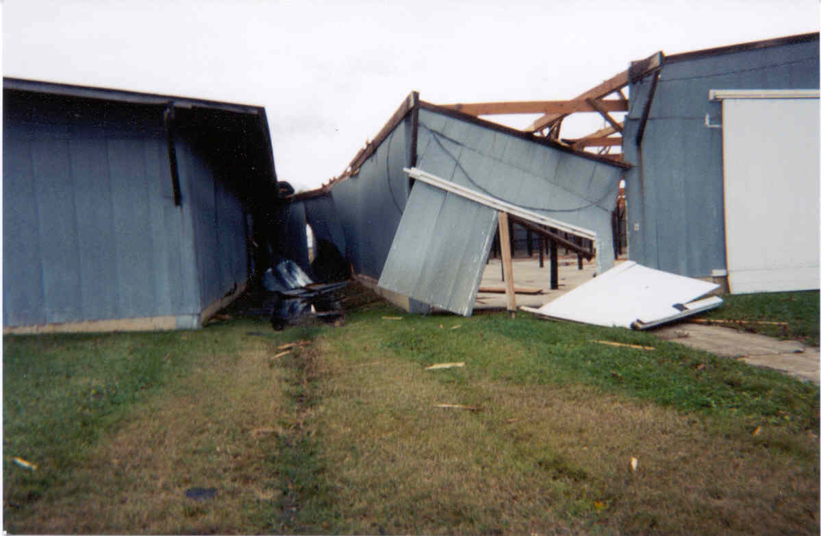
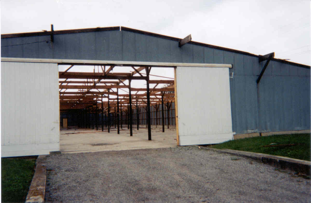
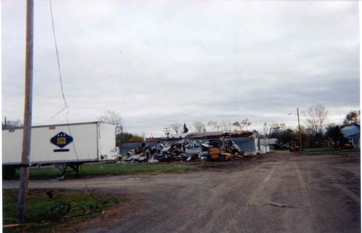
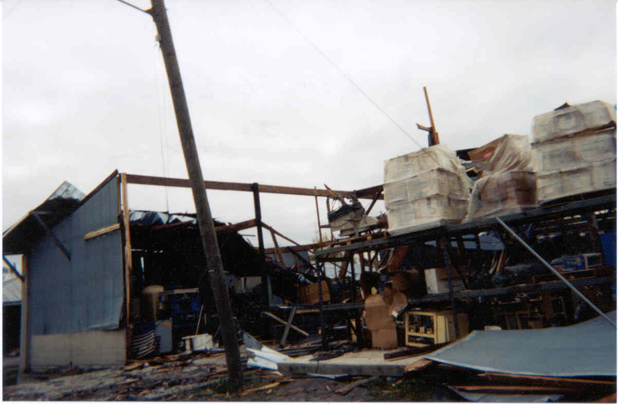
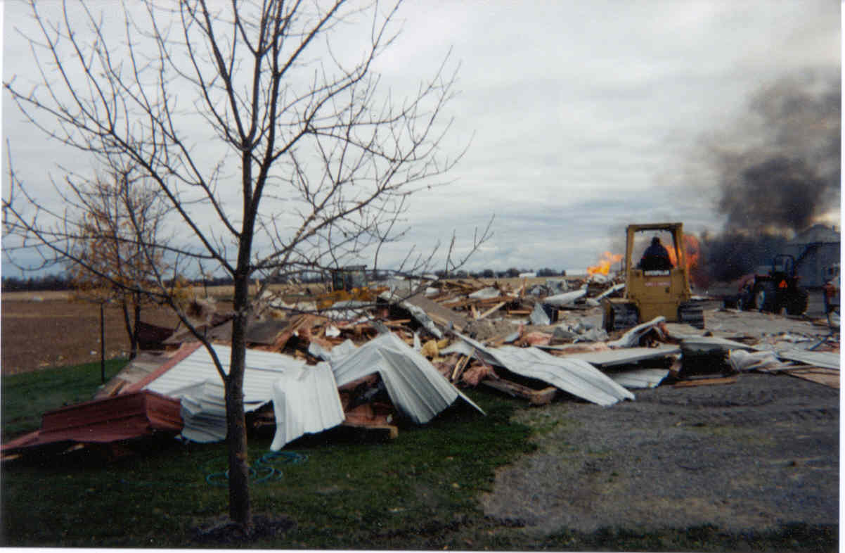
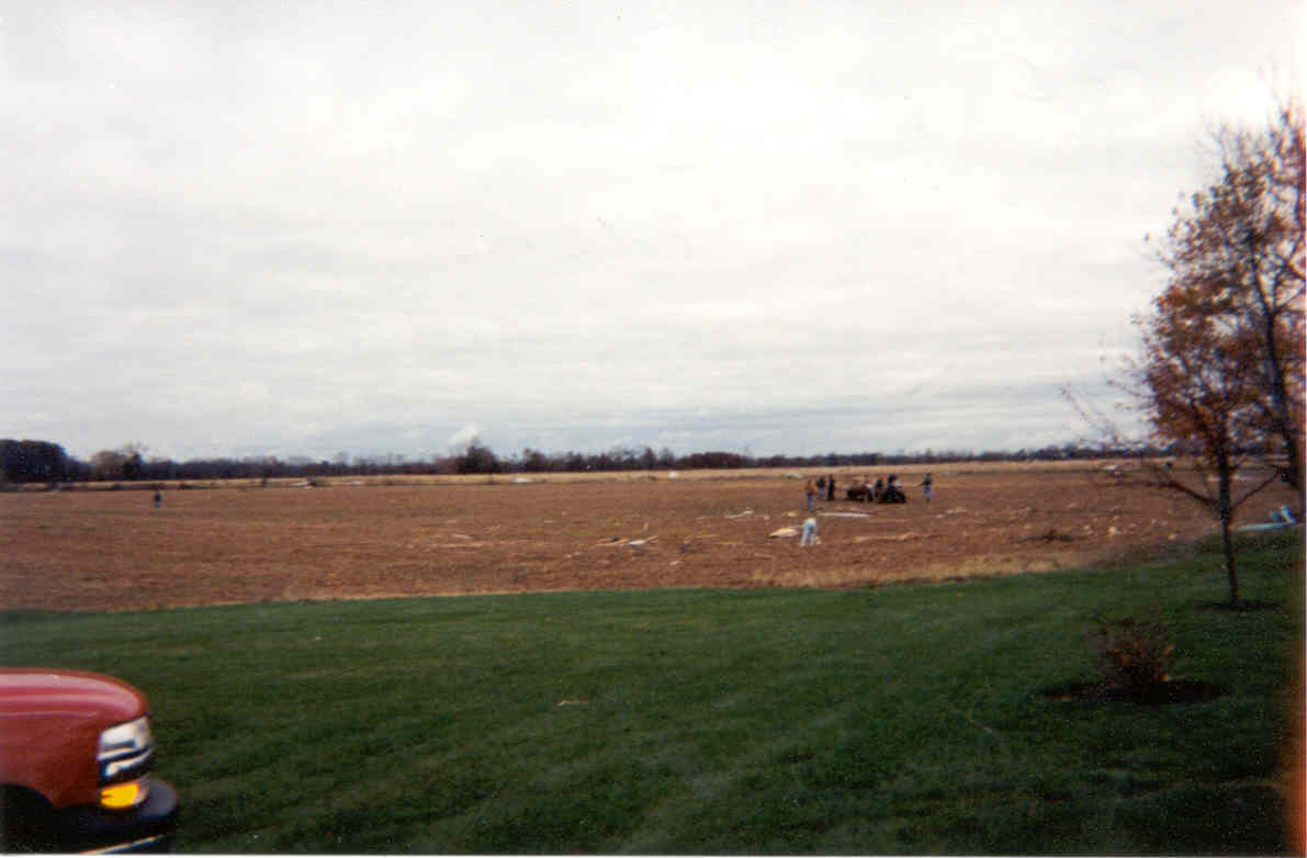
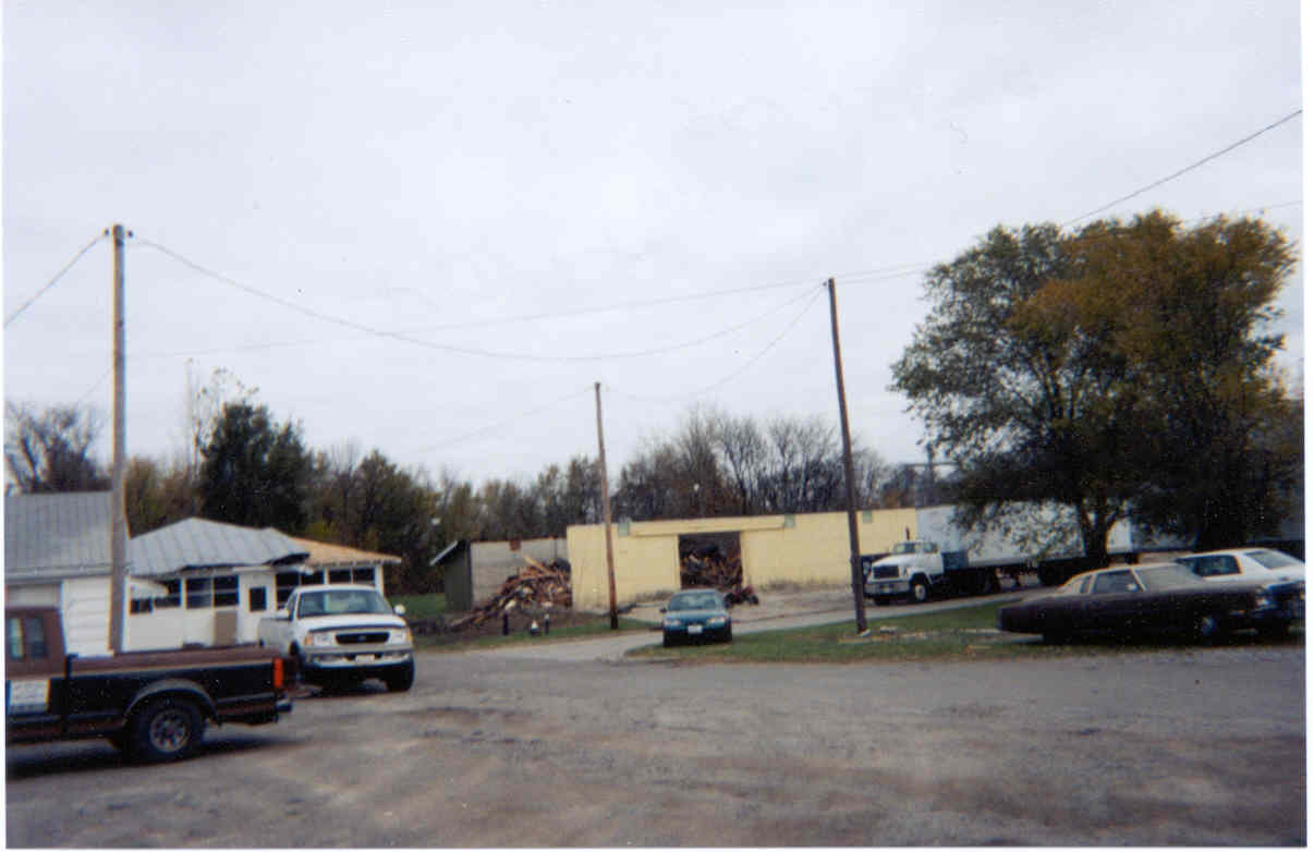
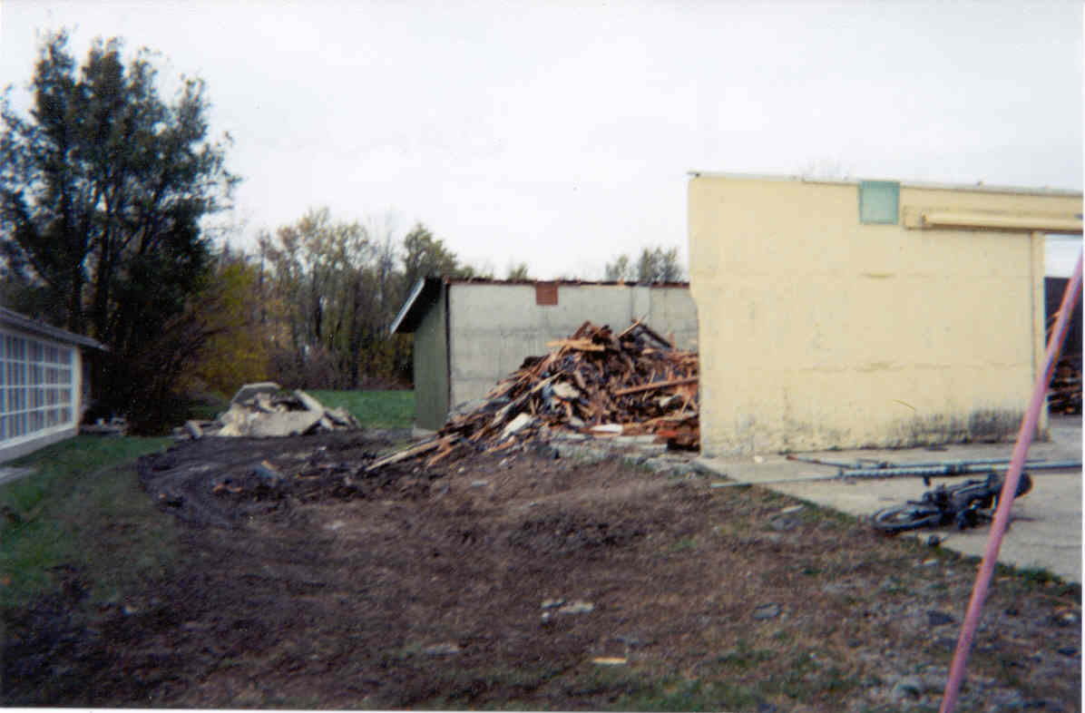
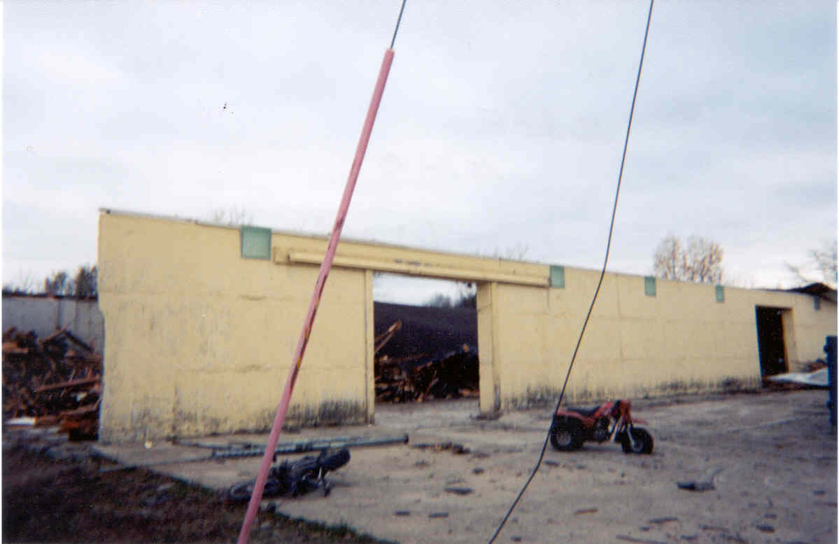
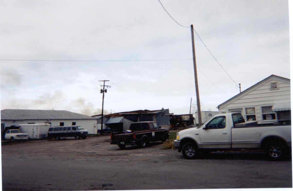
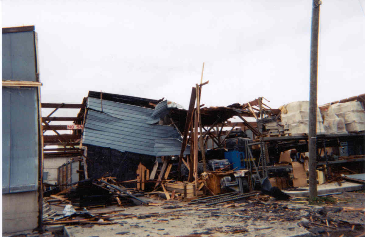
The tenth and final tornado of the day (in the Northern Indiana weather office's area of responsibility) was born at 7:35 p.m. EDT (6:35 p.m. EST) over extreme eastern Van Wert County near Delphos. It moved northeast for 32 miles across Putnam County, sweeping through the county seat of Ottawa. Though most of the damage was relatively minor, there was some evidence of F3 strength winds. The path was up to 3/4 of a mile wide.
Our thanks to weather spotter Jim Hayden for sending us these photos.


Hazards
Heat Related
Winter Related
Watch/Warning
Outlook
Storm Reports
Storm Prediction Center
Submit a Report
Event Ready
Climate
FWA Daily
SBN Daily
FWA Monthly
SBN Monthly
CoCoRaHS
Spring Frost Climatology
Fall Frost Climatology
Severe Climatology
Local Information
Skywarn
COOP
Our Office
WSR-88D
Headline Criteria
NOAA Weather Radio
Weather History
Probabilistic Snowfall
Public Information Statement
Social Media Feeds
Weather Events Page
US Dept of Commerce
National Oceanic and Atmospheric Administration
National Weather Service
Northern Indiana
7506 E 850 N
Syracuse, IN 46567
574-834-1104
Comments? Questions? Please Contact Us.

