Northern Indiana
Weather Forecast Office
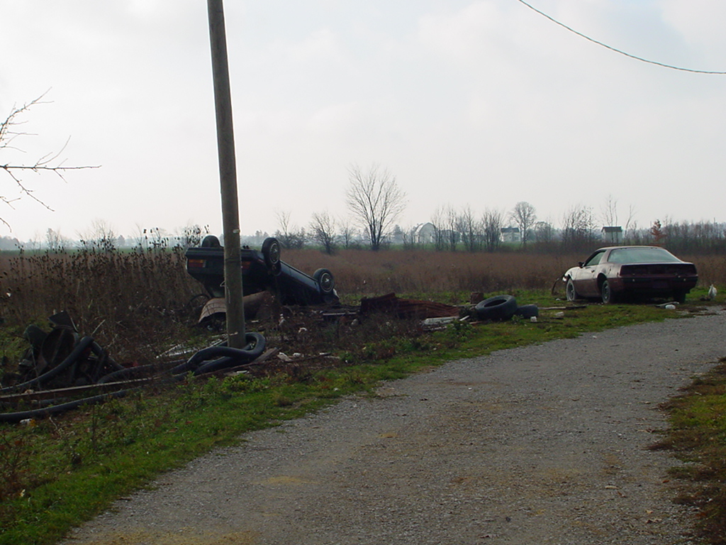
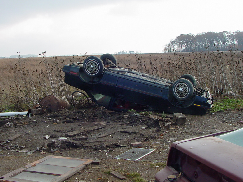
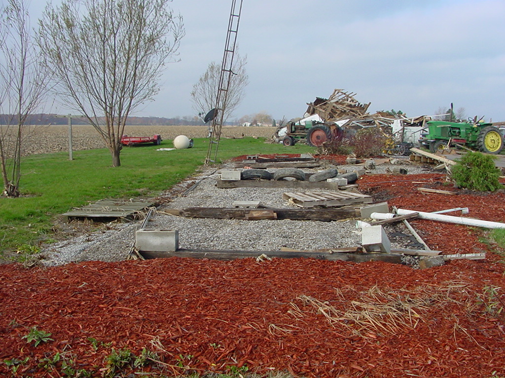
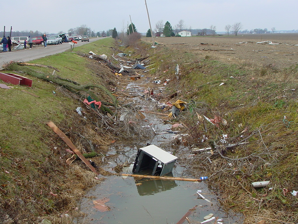
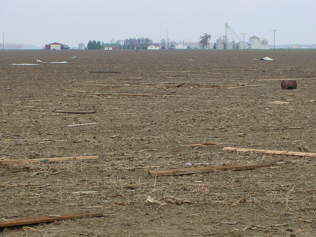
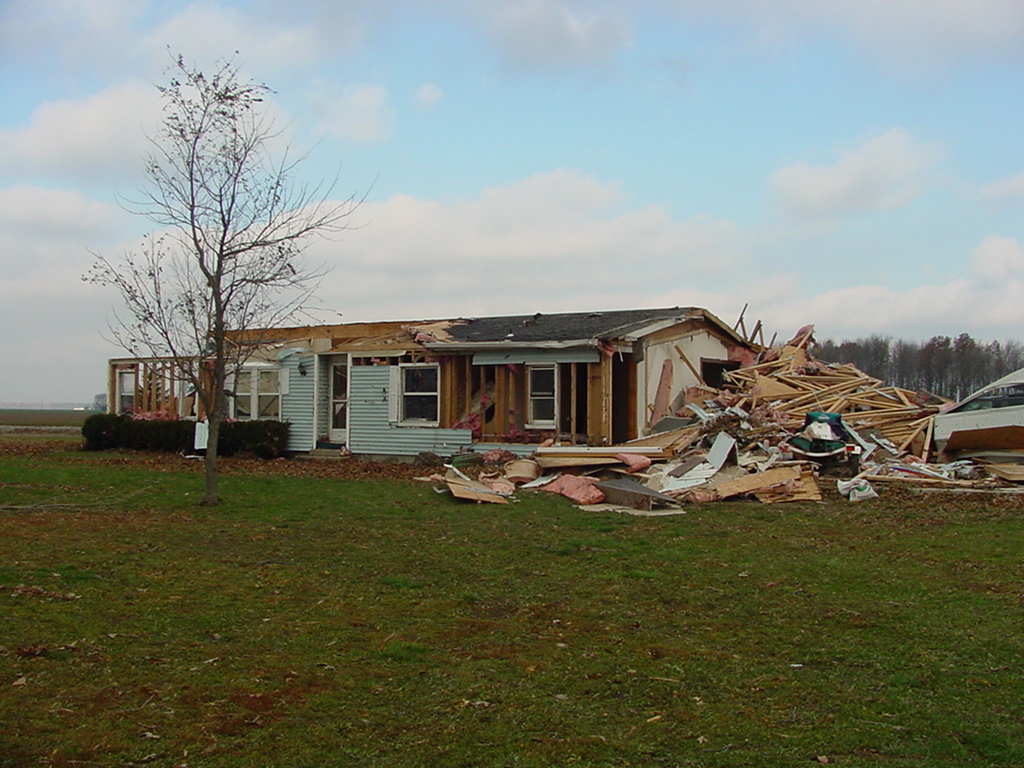
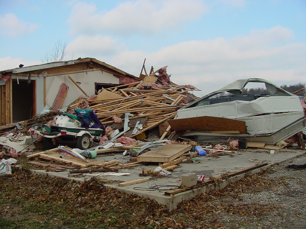
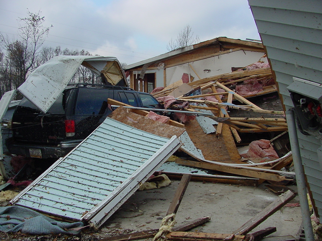
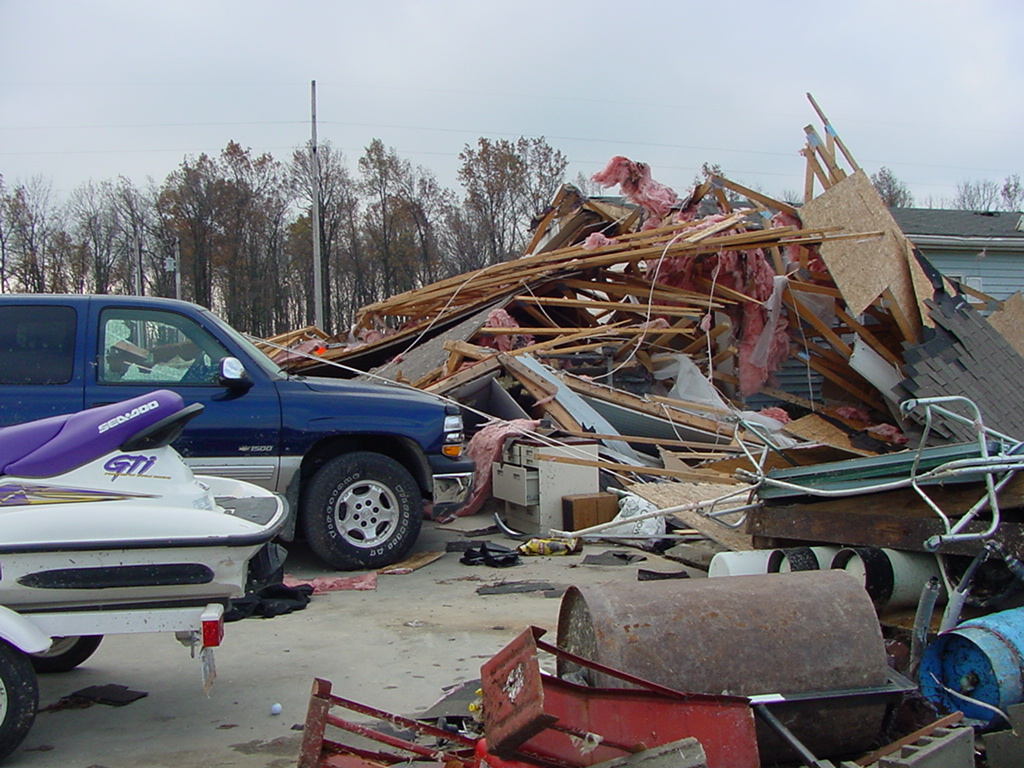
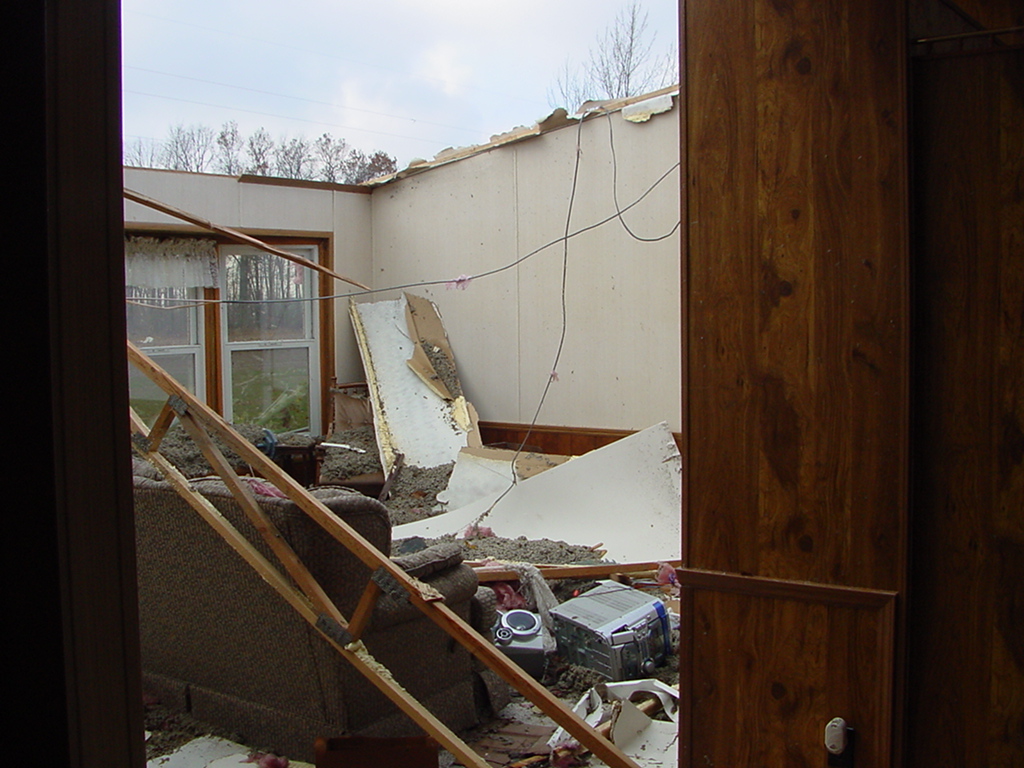
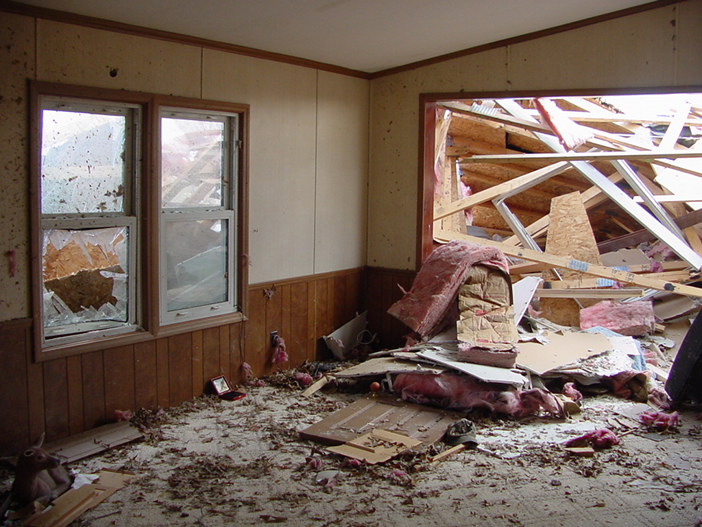
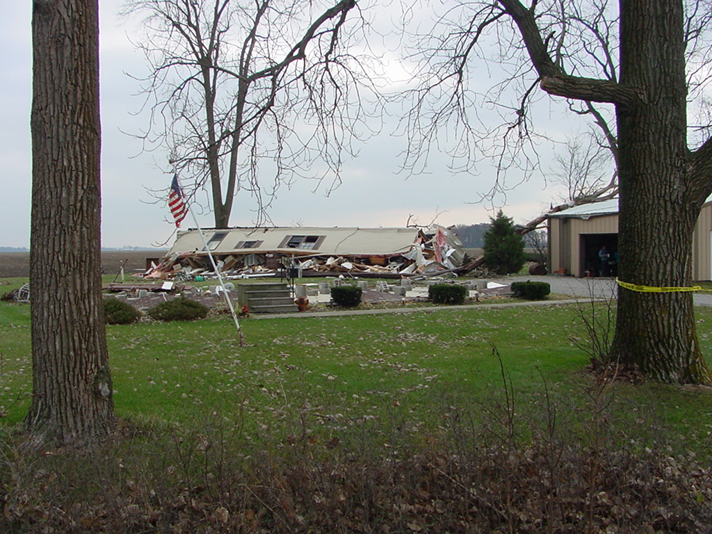
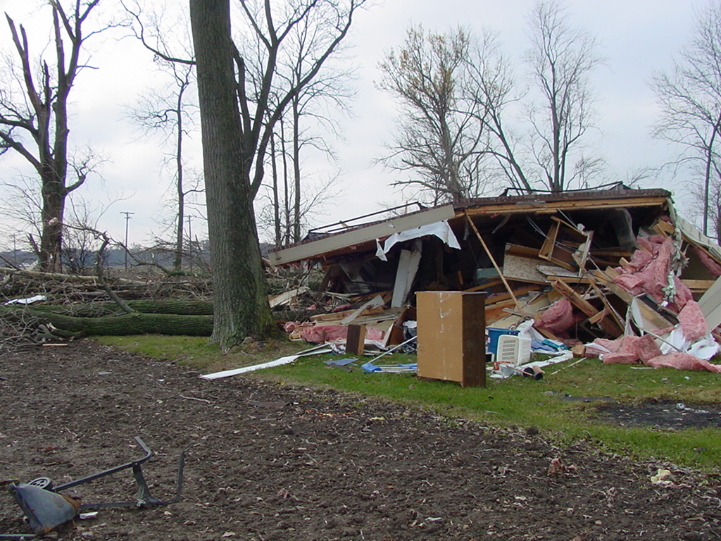
Putnam County
If you have a photo you would like to share, please send it to us! You can send it via e-mail to nws.northernindiana@noaa.gov
or you can use the postal service and send it to:
National Weather Service
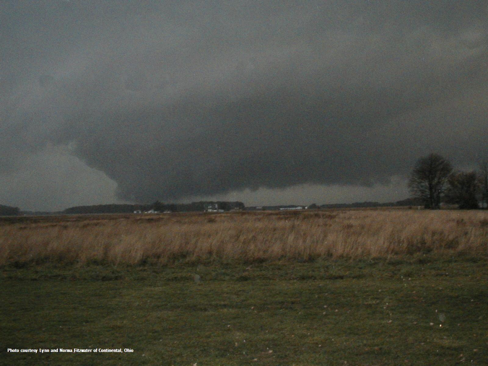
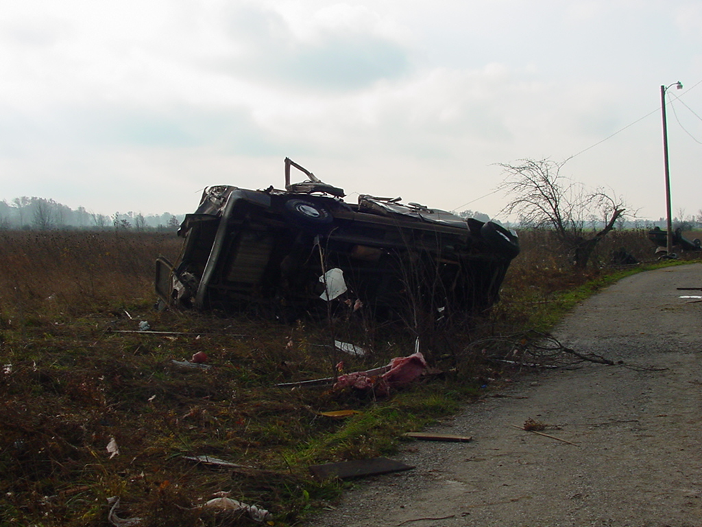
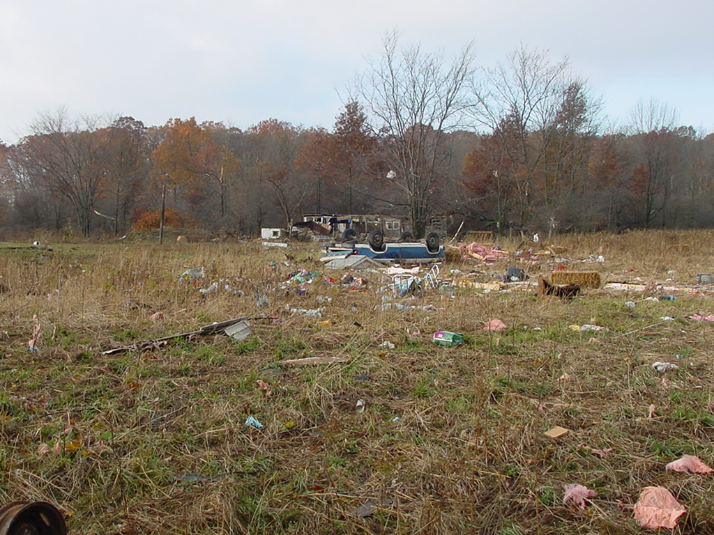
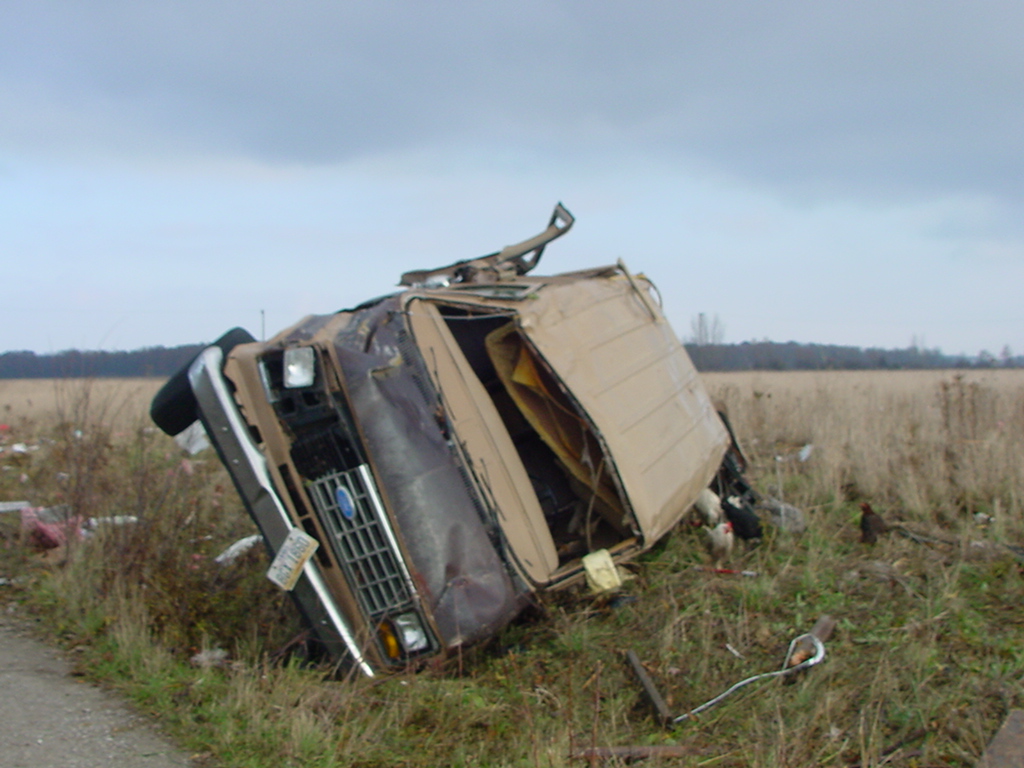
November 10 2002 Tornadoes
7506 East 850 North
Syracuse, Indiana 46567
Hazards
Heat Related
Winter Related
Watch/Warning
Outlook
Storm Reports
Storm Prediction Center
Submit a Report
Event Ready
Climate
FWA Daily
SBN Daily
FWA Monthly
SBN Monthly
CoCoRaHS
Spring Frost Climatology
Fall Frost Climatology
Severe Climatology
Local Information
Skywarn
COOP
Our Office
WSR-88D
Headline Criteria
NOAA Weather Radio
Weather History
Probabilistic Snowfall
Public Information Statement
Social Media Feeds
Weather Events Page
US Dept of Commerce
National Oceanic and Atmospheric Administration
National Weather Service
Northern Indiana
7506 E 850 N
Syracuse, IN 46567
574-834-1104
Comments? Questions? Please Contact Us.

