Overview
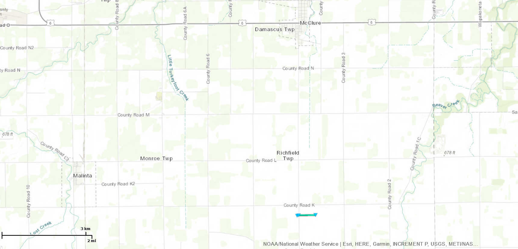
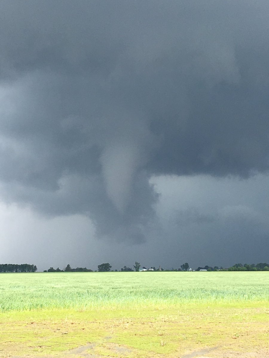
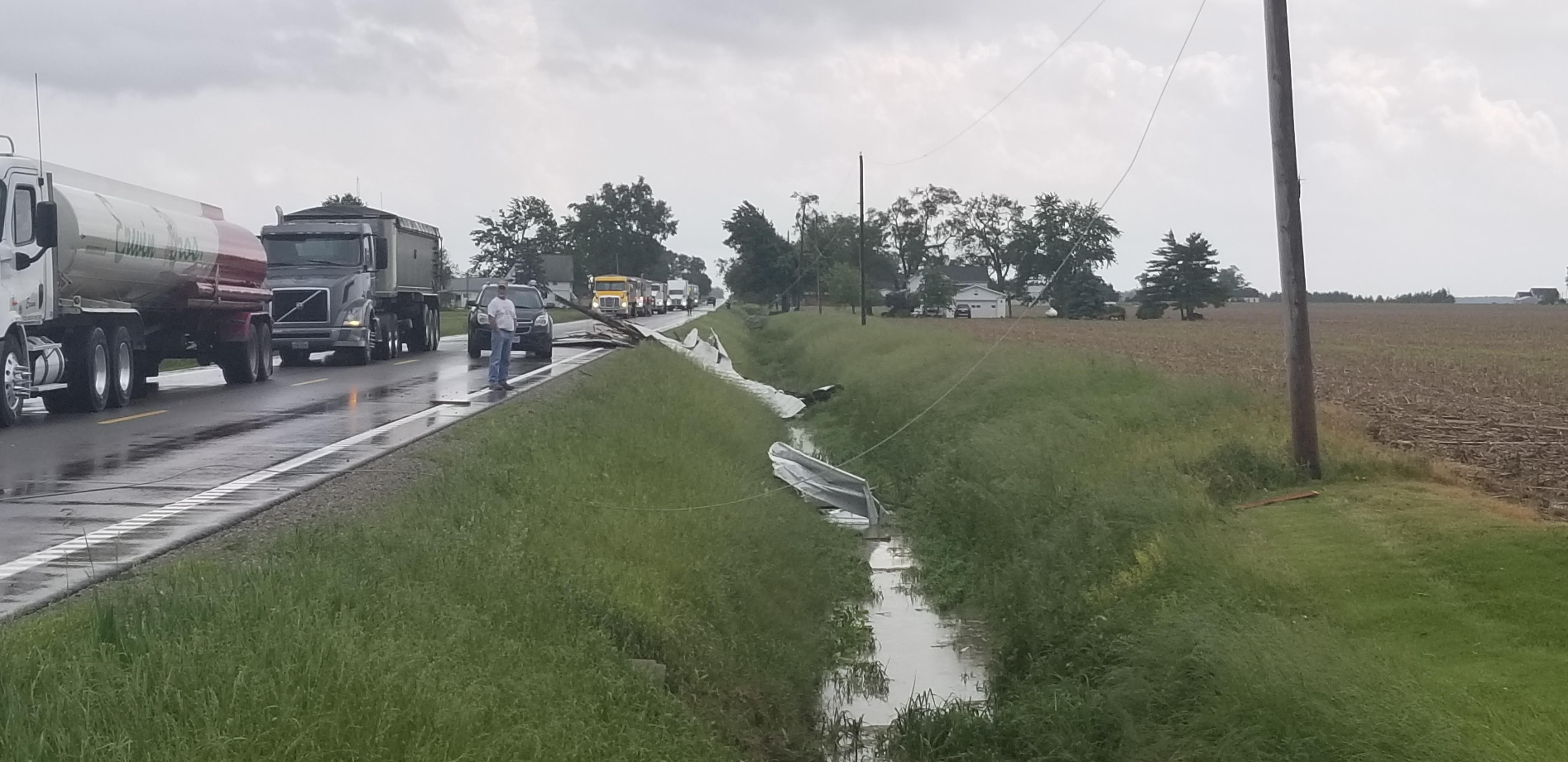
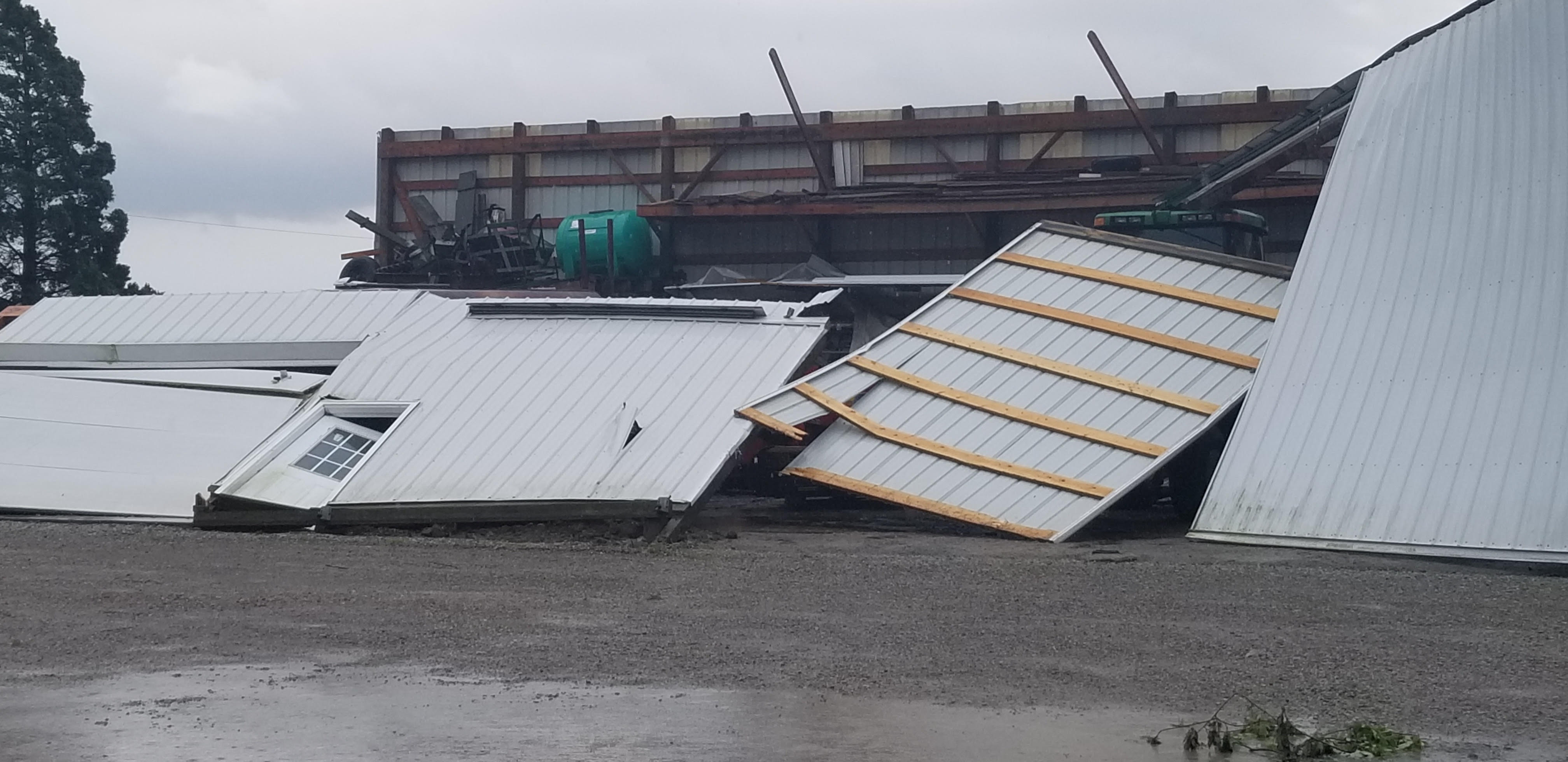
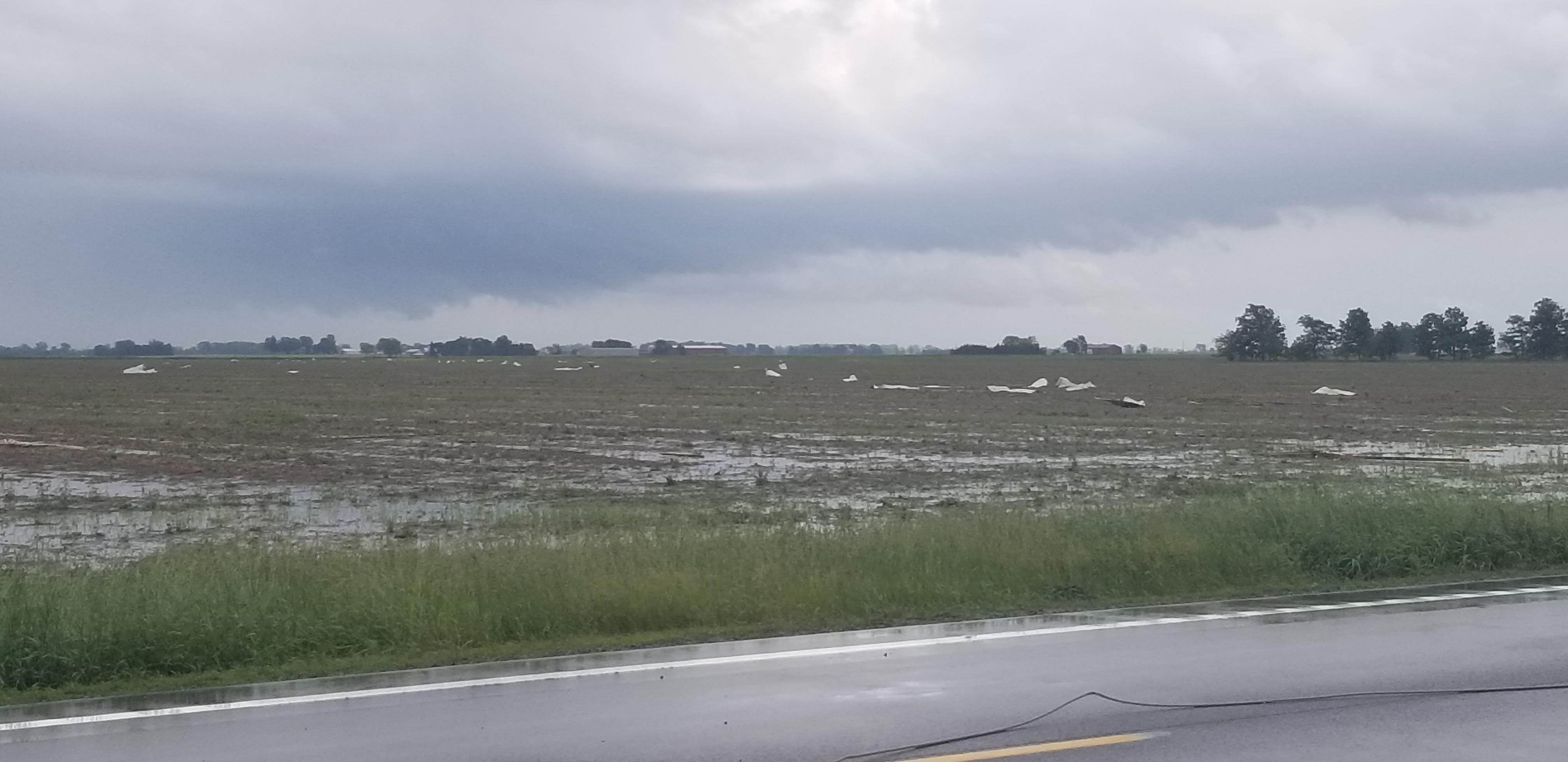
Thunderstorms developed across northwestern Ohio during the afternoon hours of June 5th. A few of these storms developed along a remnant outflow boundary in central Henry county, allowing for one storm south of McClure, OH to briefly produce a EF0 tornado. More details can be found below. No other damage was reported across the Northern Indiana County Warning Area with this event.Tornadoes
|
Tornado - McClure, OH
|
||||||||||||||||
|
||||||||||||||||
The Enhanced Fujita (EF) Scale classifies tornadoes into the following categories:
| EF0 Weak 65-85 mph |
EF1 Moderate 86-110 mph |
EF2 Significant 111-135 mph |
EF3 Severe 136-165 mph |
EF4 Extreme 166-200 mph |
EF5 Catastrophic 200+ mph |
 |
|||||
Radar
Radar loops of the storm that produced the brief tornado
 |
 |
| Reflectivity Loop | Storm Relative Velocity Loop |
Environment
A weak cold front was sinking south through the forecast area. this combined with an area of weak convergence allowed for development of thunderstorms across mainly NW Ohio. SBCAPE of 2000-2500 J/KG in place to allow rapid updraft formation. Bulk shear was generally 30 kts or less, and surface-based boundary interactions did help enhance shear locally, especially across Henry county.
 |
 |
 |
| Figure 1: Surface Based CAPE at 18Z / 2 PM EDT shows the axis of instability from west-central Indiana through northern Ohio. Surface winds also show the surface boundary extends from near Toledo through Henry County and into west central Indiana. | Figure 2: Note also that the Storm Relative winds suggest strongly convergent flow all along the surface boundary. Time 18Z / 2 PM EDT June 5, 2019. | Figure 3: Surface observations from 18Z / 2 PM EDT June 5, 2019. |
 |
Media use of NWS Web News Stories is encouraged! Please acknowledge the NWS as the source of any news information accessed from this site. |
|