New Orleans/Baton Rouge
Weather Forecast Office
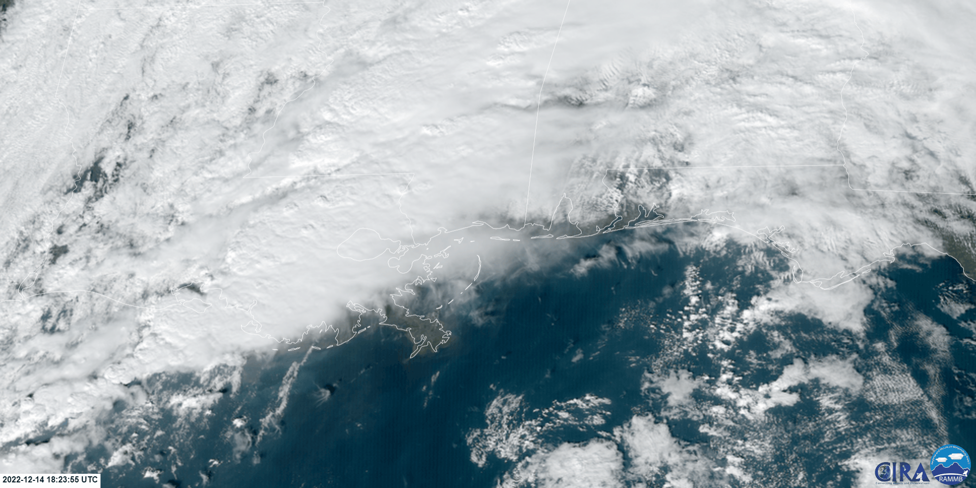
A strong upper level disturbance and surface low produced several supercell thunderstorms with embedded tornadoes across Southeast Louisiana and Southern Mississippi during the late afternoon and evening hours of Wednesday December 14, 2022. These supercell thunderstorms produced straight line wind damage and a several tornadoes in the area. Two EF-2 tornados impacted portions of the New Orleans metro area in St. Charles Parish, and in Jefferson, Orleans, and St. Bernard Parishes.
6 tornadoes have been confirmed from this event. These tornadoes have been determined to range in strength from EF0 to EF2 after NWS storm surveys were conducted.
Current Hazards
Fire Manager Quick Brief
Briefing Page
Storm Prediction Center
Extended Outlooks
Outlooks
Forecasts
Aviation Weather Forecast
Graphical Forecast
Weather Models and Maps
Fire Weather Forecast
Hourly Weather Graph
Air Quality Forecasts
Marine Forecast
Activity Planner
River Forecasts
Tropical Forecast
Forecast Discussion
US Dept of Commerce
National Oceanic and Atmospheric Administration
National Weather Service
New Orleans/Baton Rouge
62300 Airport Rd.
Slidell, LA 70460-5243
504.522.7330 985.649.0429
Comments? Questions? Please Contact Us.

