New Orleans/Baton Rouge
Weather Forecast Office
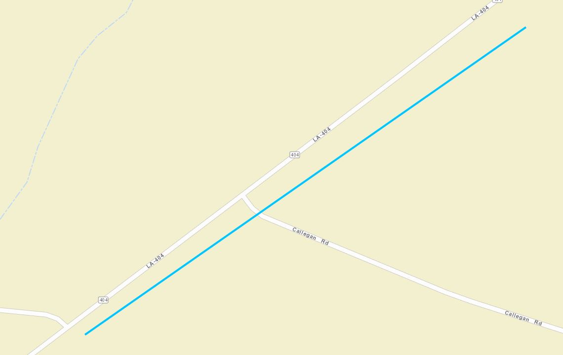
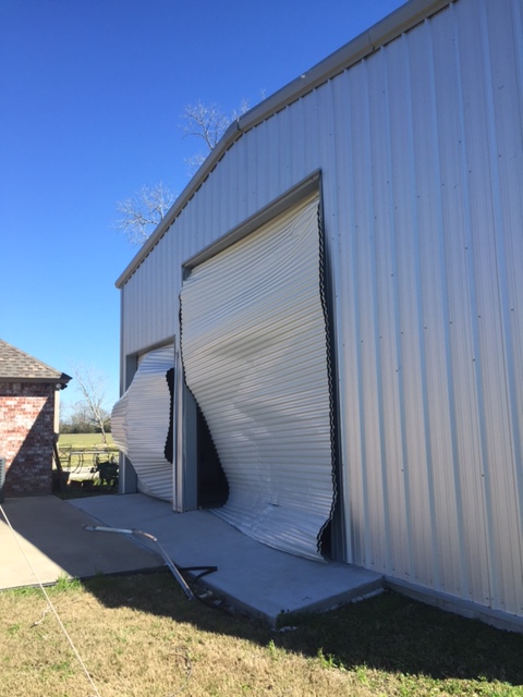
Afternoon White Castle, LA Tornado - February 23, 2016
|
Rating:
|
EF-0
|
|
Estimated Maximum Wind:
|
80 mph
|
|
Injuries/Fatalities:
|
None
|
|
Damage Path Length:
|
1 mile
|
|
Maximum Path Width:
|
200 yards
|
|
Approximate Start Point/Time:
|
3.8 miles SW of White Castle, LA at 310 PM
|
|
Approximate End Point/Time:
|
3.5 miles SW of White Castle, LA at 313 PM
|
|
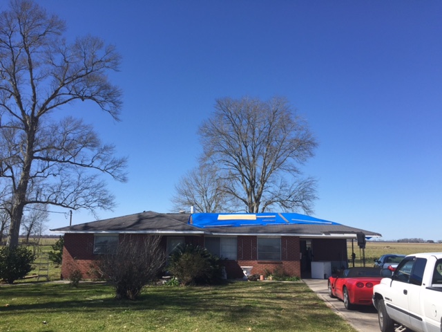
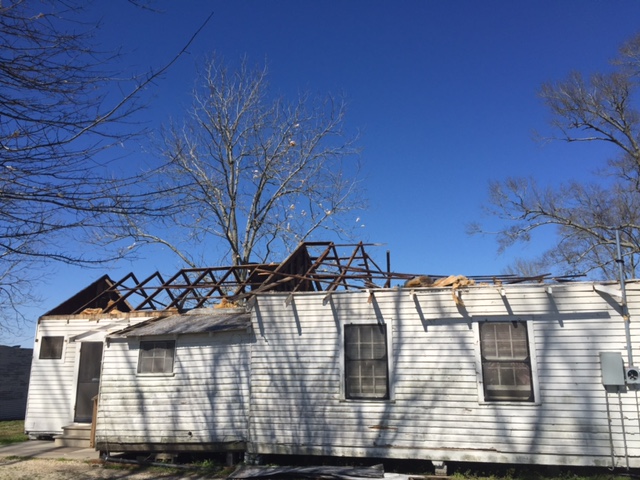
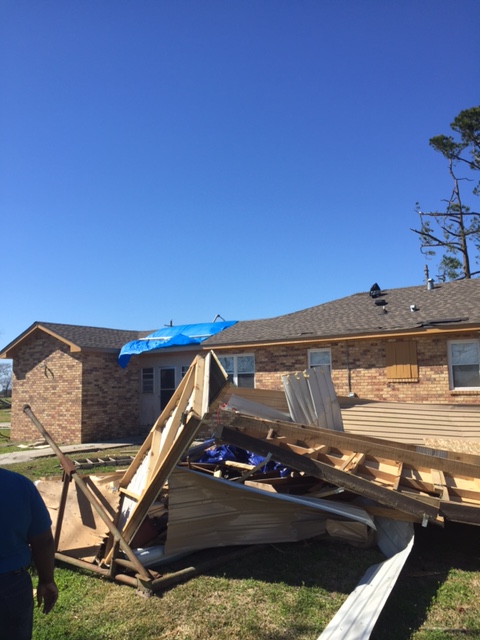
A National Weather Service Damage Assessment Team has surveyed the storm damage near White Castle, LA. It has been determined the damage was the result of a tornado. The tornado has been rated an EF-0 on the Enhanced Fujita Scale. Damage estimates were consistent with winds of 80 mph. Damage consisted of doors blown in on farm implement buildings, some light roof damage to houses, and demolished sheds. The tornado damage path was one mile long and was 200 yards wide at its widest point. |
|
|
|
|
||||||||||||
Current Hazards
Storm Prediction Center
Extended Outlooks
Outlooks
Fire Manager Quick Brief
Briefing Page
Forecasts
Fire Weather Forecast
Hourly Weather Graph
Air Quality Forecasts
Marine Forecast
Activity Planner
River Forecasts
Tropical Forecast
Forecast Discussion
Aviation Weather Forecast
Graphical Forecast
Weather Models and Maps
US Dept of Commerce
National Oceanic and Atmospheric Administration
National Weather Service
New Orleans/Baton Rouge
62300 Airport Rd.
Slidell, LA 70460-5243
504.522.7330 985.649.0429
Comments? Questions? Please Contact Us.