National Weather Service United States Department of Commerce

Areas of Extreme Heat and Excessive Rainfall Potential

Dangerous and extreme heat will remain across portions of the central U.S. this week, persisting across the mid to lower Mississippi Valley, Gulf Coast, southern Plains and portions of Texas. A heat wave over the Southwest U.S. will peak this weekend. Heavy to excessive rainfall may produce flash flooding from the Delmarva Peninsula north into the Hudson Valley today and tonight. Read More >

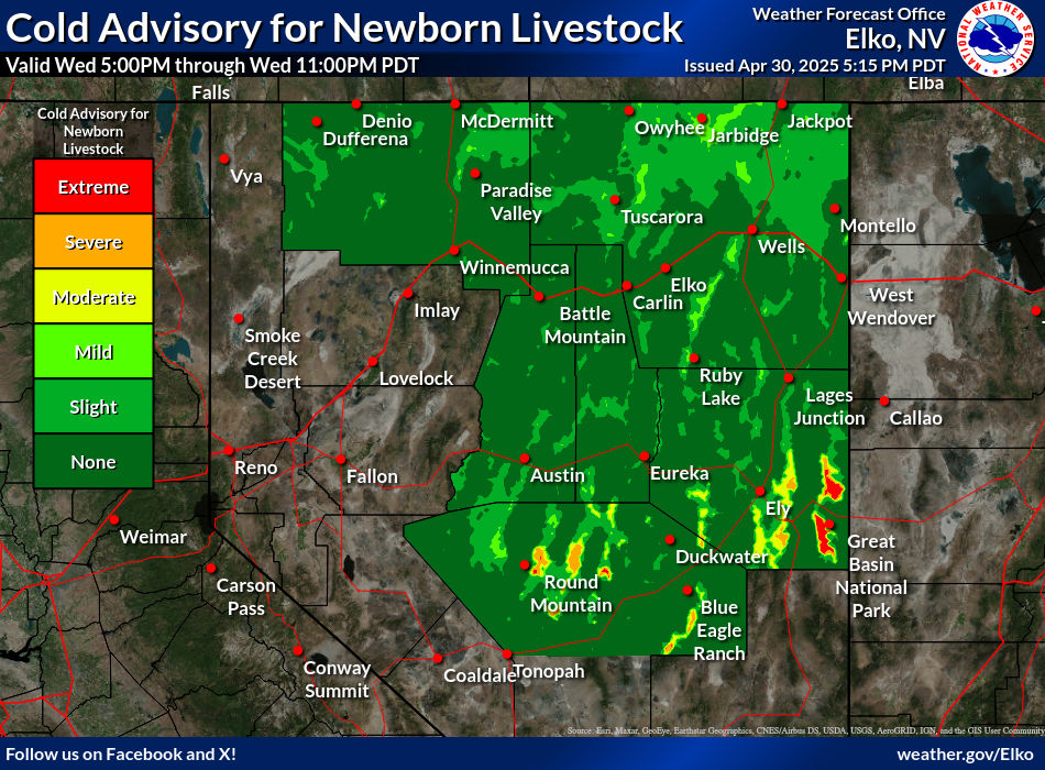
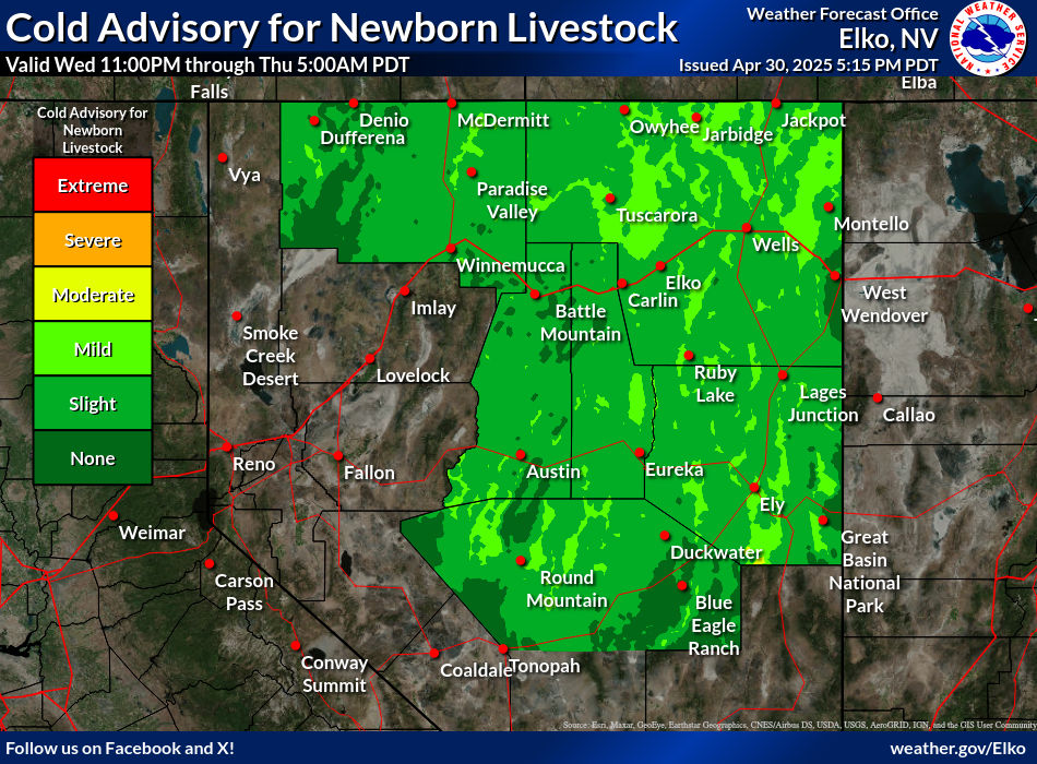
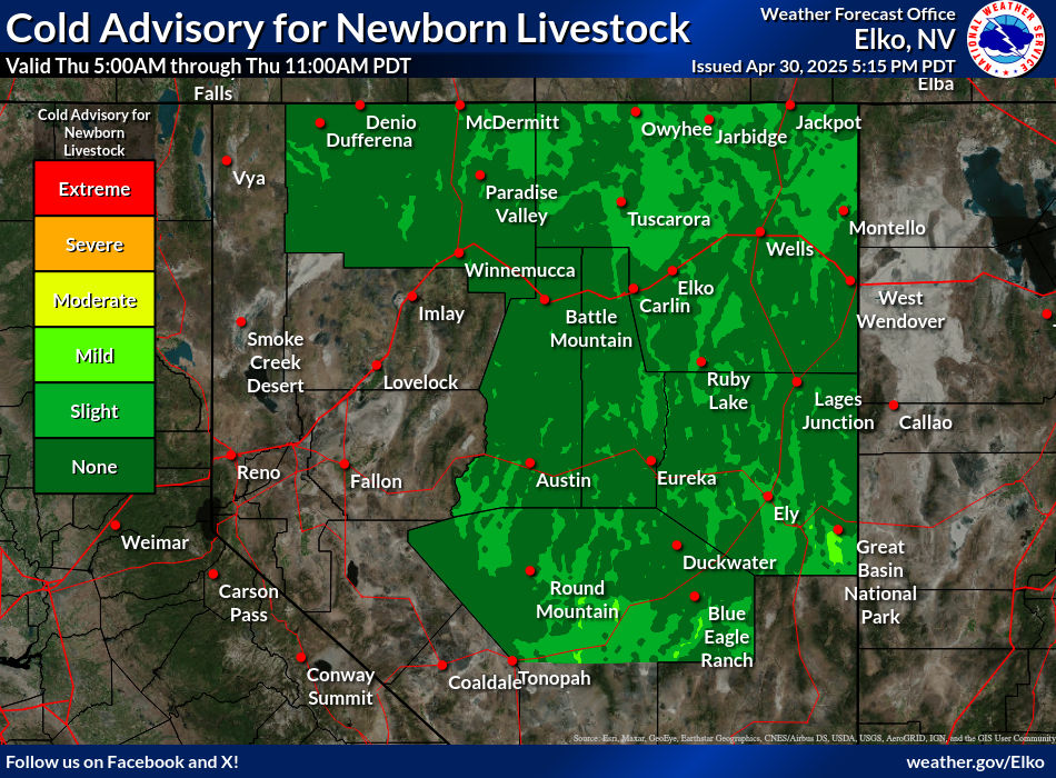
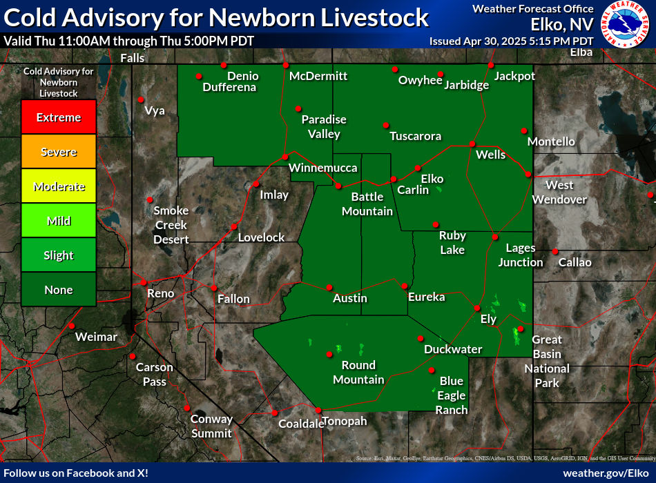
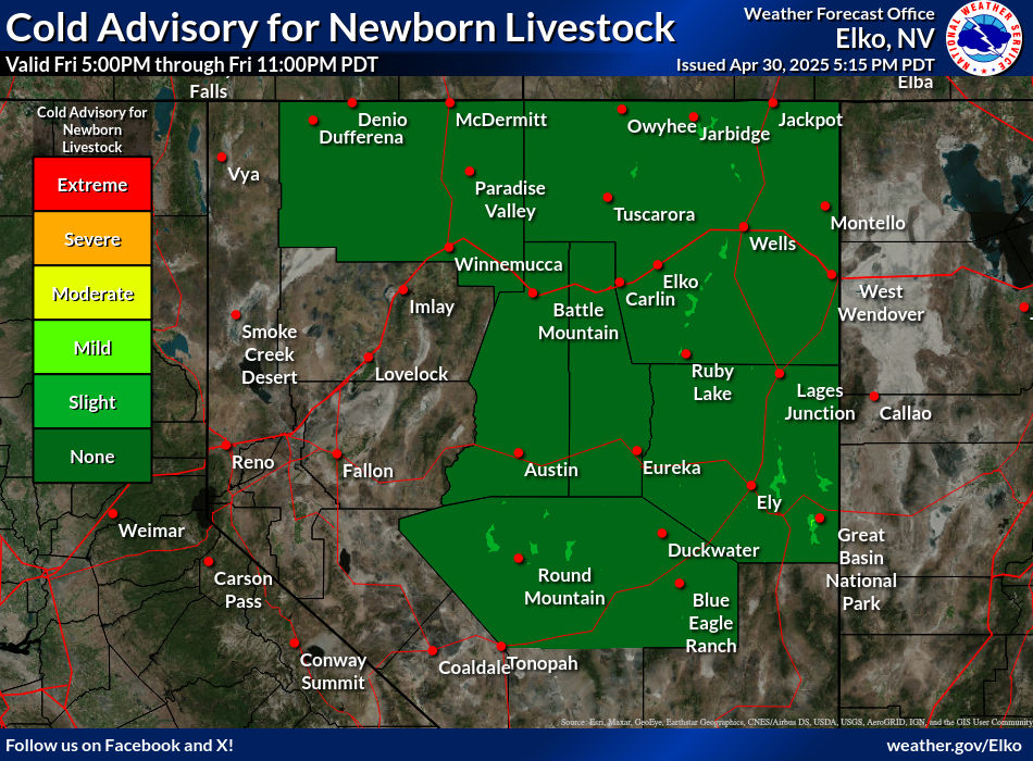
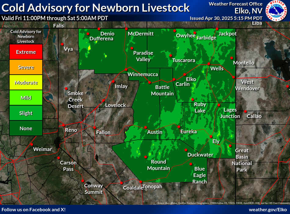
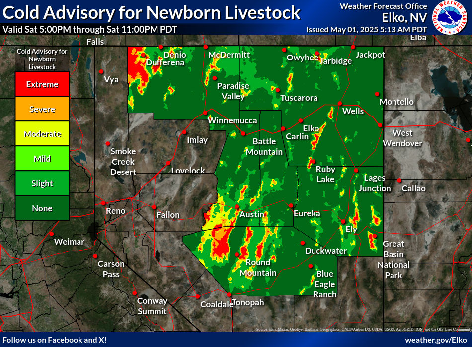
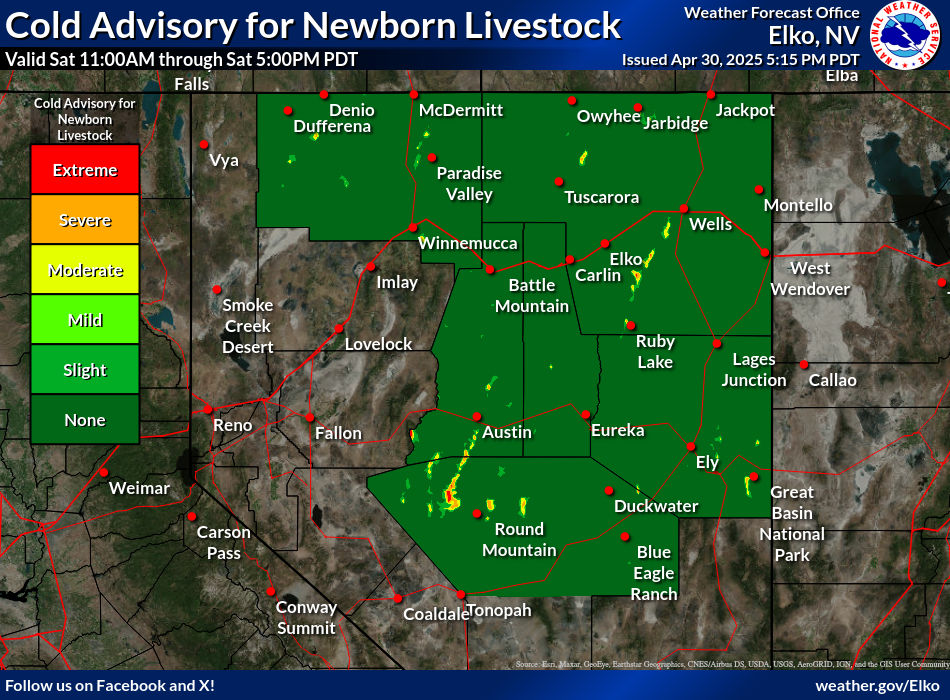
Cold Advisory For Newborn Livestock (CANL)

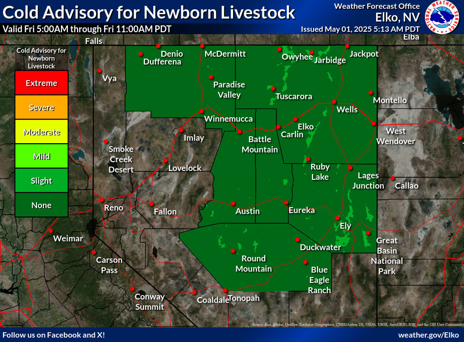
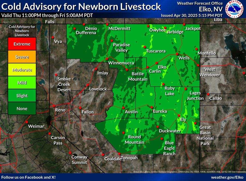
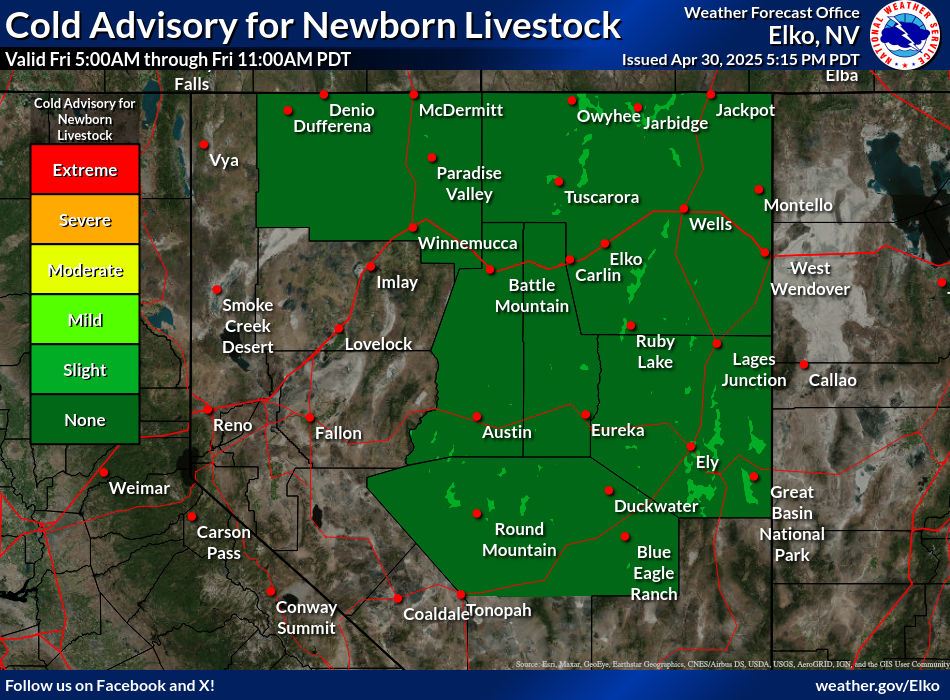
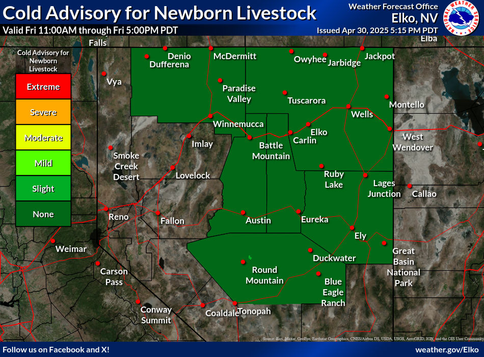
The CANL graphics below show the risk of cold exposure to newborn livestock. The risk is related to wind chill temperature, precipitation, and humidity, and ranges from "NONE" for no risk, to "EXTREME" for rare and particularly dangerous situations. For more information about this product, including categorical thresholds, click here. The images below are each valid for a 6 hour time period out to 66 hours. Click on the images to expand and see the forecast valid time. The CANL images are updated at least twice daily at 4 am and 4 pm PST.
0 Hour
6 Hour
12 Hour
18 Hour
24 Hour
30 Hour
36 Hour
42 Hour
48 Hour
54 Hour
60 Hour
66 Hour


  • NONE: Wind Chill above 41 degrees
  • SLIGHT: Wind Chill less than 41 degrees for two or more hours
  • MILD: Wind Chill less than 32 degrees for two or more hours
  • MODERATE: Wind Chill less than 0 degrees for two or more hours or Wind Chill less than 36 degrees for two or more hours and .02" precipitation
  • SEVERE: Wind Chill of -9 degrees or colder for two or more hours, or wind chill of less than 34 degrees for two or more hours and .05" of precipitation
  • EXTREME: Wind Chill of -18 or colder for two or more hours, or wind chill less than 32 degrees for two or more hours and .1" of precipitation
  • For sunny conditions (Cloud cover less than 40%), reduce wind chill thresholds by 10 degrees 
  • For humid conditions (Minimum relative humidity remaining above 95%), increase wind chill thresholds by 10 degrees
  • For dry snow conditions (Maximum temperature remains less than 26F), double the precipitation thresholds for MOD-EXTREME