National Weather Service United States Department of Commerce

Marine and Coastal Impacts from Imelda; Unsettled Weather in the West

Swells and high surf from both Imelda and Humberto are expected to bring dangerous marine conditions and rip currents to much of the East Coast over the next several days. A series of Pacific frontal systems will bring waves of showers and thunderstorms to portions of northern California and the Pacific Northwest through midweek. Read More >

Click a location below for detailed forecast.

Last Map Update: Tue, Sep 30, 2025 at 10:02:23 am MDT
Scattered thunderstorms are possible today across north-central Idaho and west-central Montana. The main threats with the storms will be occasional lightning, gusty winds to 35 mph, small hail and brief downpours.
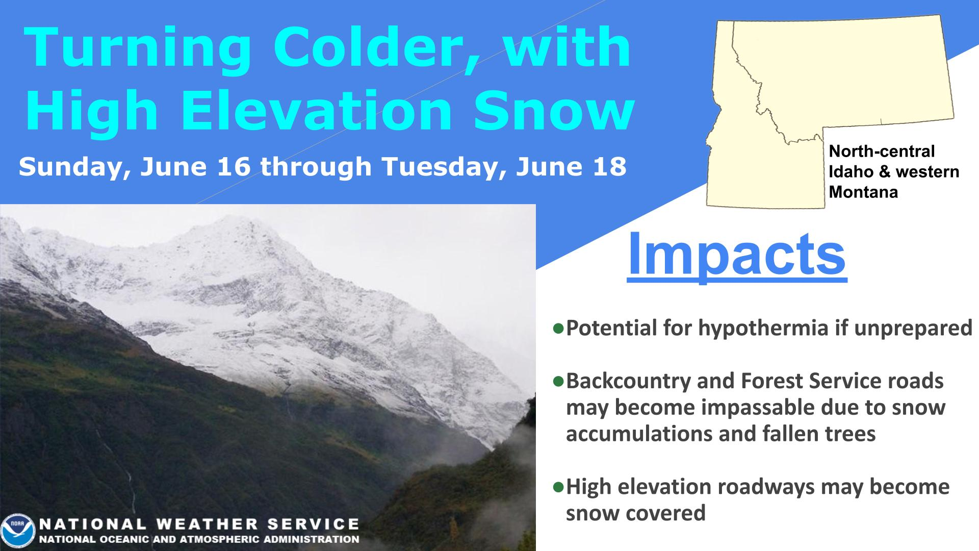
Get ready for a noticeable shift to more fall-like weather across western Montana and north-central Idaho this week. A pattern change beginning Monday will bring increasing chances for rain showers and a distinct cooling trend by the middle of the week. While the exact timing and rainfall amounts are still becoming clear, residents should anticipate periods of rain and scattered thunderstorms that could impact outdoor plans. Valley temperatures are expected to drop to more normal seasonal values, likely into the 60s. Stay tuned for more detailed forecasts as the week progresses.
Please join us for our fall 2025 weather spotter talk and start your journey to becoming a member our valued weather spotter team. The talk lasts about 45 minutes and no previous experience is necessary, simply a love for weather phenomena.


Text Product Selector (Selected product opens in current window)