Hydrometeorological Forecast Discussion
NWS North Central River Forecast Center Twin Cities/Chanhassen MN
1135 AM CDT Sun Aug 2 2026
River forecasts routinely incorporate 24 hours of QPF from
April 1 to September 30 and 48 hours from October 1 to March 31.
See http://www.weather.gov/ncrfc/LMI_QPF_NcrfcCurrentQpf
...Forecast Activity...
RVF forecasts issued today. Issue times are in UTC.
Subtract 6 hrs for CST, 5 hrs for CDT/EST, 4 hrs for EDT.
RVF Forecast Group description Issue Time
CAL Little Calumet R Basin 2026-08-02 14:36 UTC
CIW Cedar/Iowa R Basin 2026-08-02 15:33 UTC
DES Des Moines R Basin 2026-08-02 15:34 UTC
EWS Ern Wisconsin Basins to Lk MI 2026-08-02 14:13 UTC
GND Grand, Muskegon/White Basins, MI 2026-08-02 14:45 UTC
ILO Mainstem Illinois R 2026-08-02 16:23 UTC
KDF Illinois R tribs abv LaSalle, IL 2026-08-02 14:39 UTC
M10 Miss. R - Lake City, MN-L&D 10 2026-08-02 15:41 UTC
M19 Miss. R - L&D 11-Gregory Landing 2026-08-02 16:11 UTC
MIN Minnesota R abv Shakopee, MN 2026-08-02 15:25 UTC
MIS Miss. R - L&D 20 to Chester, IL 2026-08-02 16:29 UTC
NLM Northern Lower Michigan rivers 2026-08-02 14:44 UTC
RCK Rock R Basin 2026-08-02 15:32 UTC
RDW Mississippi R abv Red Wing, MN 2026-08-02 15:30 UTC
TIA Misc Iowa Tribs to Miss. R 2026-08-02 13:51 UTC
UPM Upper Michigan Peninsula rivers 2026-08-02 15:04 UTC
Sites with forecasts above flood stage (FS):
MAX
RVF NWSLI Station name/river FS FCST
CAL THNI2 Thornton - Thorn Cr 9.0 12.8
TIA DEWI4 De Witt - 4S - Wapsipinicon R 11.0 11.4
Sites with forecasts below flood stage but above a
user-defined threshold (FS=Flood Stage):
MAX
RVF NWSLI Station name/river FS FCST
CAL LCMI3 Munster - Little Calumet R 12.0 11.5
CAL SHLI2 South Holland - Little Calumet R 16.0 14.5
EWS FRKW3 Franklin - 2SE - Root R 8.0 7.0
KDF RUSI2 Russell - Des Plaines R 7.0 6.7
KDF LEMI2 Lemont - 1NW - Des Plaines R 10.0 9.9
KDF BOLI2 Bollingbrook - E Br Du Page R 20.0 19.9
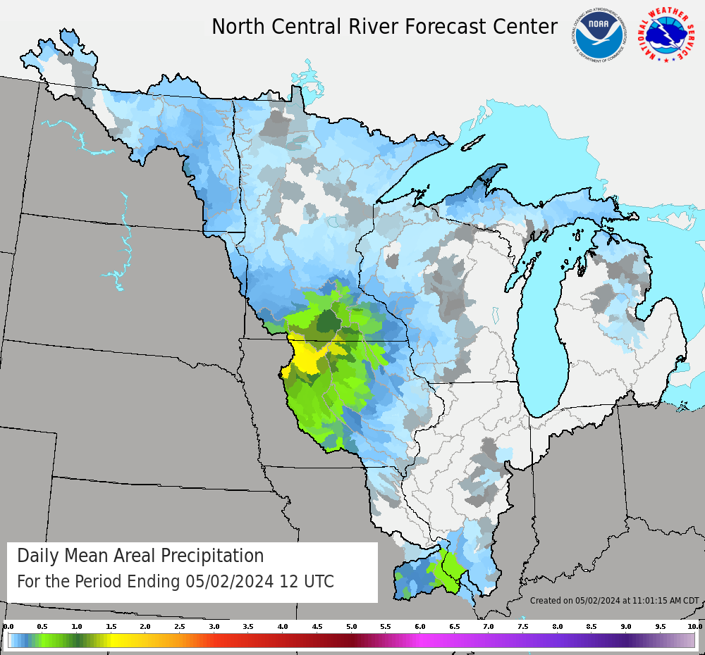
...Past Precipitation...
Observation times are in UTC.
Subtract 6 hrs for CST, 5 hrs for CDT/EST, 4 hrs for EDT.
=====================================================================
Top daily precipitation reports greater than zero from Iowa:
LID OBTIME/SHEF VALUE NAME / DETAIL STATE
IAST37 DH1051/PPDRZ 0.86 : Davenport 1WNW IA
BLGI4 DH1200/PPDRZ 0.85 : Burlington 2S IA
DVNI4 DH1200/PPDRZ 0.77 : Davenport WFO IA
IAJH27 DH1240/PPDRZ 0.39 : North Liberty 1SSW IA
IAJF12 DH1200/PPDRZ 0.35 : Fairfield 6NNE IA
Top daily precipitation reports greater than zero from Illinois:
LID OBTIME/SHEF VALUE NAME / DETAIL STATE
ILCK64 DH1200/PPDRZ 3.74 : Homewood IL
ILWL165 DH1200/PPDRZ 3.69 : Frankfort 1ESE IL
ILCK229 DH1200/PPDRZ 3.65 : Flossmoor 1ESE IL
PKFI2 DH1000/PPDRZ 3.04 : Park Forest WTP IL
ILMCL17 DH1200/PPDRZ 2.76 : Bloomington 3NE IL
Top daily precipitation reports greater than zero from Indiana:
LID OBTIME/SHEF VALUE NAME / DETAIL STATE
INLK89 DH1200/PPDRZ 3.10 : Hammond 1SSW IN
INLK63 DH1200/PPDRZ 2.31 : Gary 5ENE IN
INJS47 DH1300/PPDRZ 1.93 : Remington IN
INNW01 DH1230/PPDRZ 1.51 : Mount Ayr 2NNE IN
INPT69 DH1200/PPDRZ 1.45 : Porter 1S IN
Top daily precipitation reports greater than zero from Michigan:
LID OBTIME/SHEF VALUE NAME / DETAIL STATE
MIMC03 DH1200/PPDRZ 2.57 : Cedarville 3ESE MI
MISW05 DH1200/PPDRZ 1.95 : Durand 6WNW MI
MICT18 DH1130/PPDRZ 1.64 : Laingsburg 2NNW MI
OWSM4 DH1100/PPDRZ 1.60 : Owosso WWTP MI
MICT21 DH1200/PPDRZ 1.46 : Laingsburg 2NW MI
Top daily precipitation reports greater than zero from Minnesota:
LID OBTIME/SHEF VALUE NAME / DETAIL STATE
MNHS15 DH1200/PPDRZ 0.03 : La Crescent 7WSW MN
HOKM5 DH1200/PPDRZ 0.03 : Hokah 4NW MN
MNHN285 DH1300/PPDRZ 0.02 : Minneapolis 5SE MN
MNWN24 DH1200/PPDRZ 0.02 : La Crescent 4NNW MN
MDPM5 DH1200/PPDRG 0.01 : Mound Prairie MN
Top daily precipitation reports greater than zero from Missouri:
LID OBTIME/SHEF VALUE NAME / DETAIL STATE
MOPH15 DH1200/PPDRZ 0.25 : Rolla 1S MO
MOPH53 DH1200/PPDRZ 0.24 : Rolla 4WNW MO
MOPH56 DH1200/PPDRZ 0.23 : Rolla 3S MO
VNDM7 DH1000/PPDRZ 0.21 : Vandalia WTP MO
STL DH1151/PPDRZ 0.20 : St Louis - Lambert Intl Arpt (ASOS) MO
No measureable precipitation reported within the NCRFC area
of North Dakota during the last 24 hours.
No measureable precipitation reported within the NCRFC area
of South Dakota during the last 24 hours.
Top daily precipitation reports greater than zero from Wisconsin:
LID OBTIME/SHEF VALUE NAME / DETAIL STATE
WIRC26 DH1000/PPDRZ 1.40 : Racine 1NNW WI
WIRC03 DH1200/PPDRZ 1.39 : Racine 2WSW WI
PYRW3 DH1100/PPDRZ 1.30 : Palmyra 1N WI
WIKN06 DH1130/PPDRZ 1.26 : Kenosha 2S WI
WIKN31 DH1105/PPDRZ 1.19 : Kenosha 3SSE WI
See http://www.weather.gov/ncrfc/LMI_QCPCPN for all reports.
For additional and more in-depth information concerning river
forecasts, precipitation and all hydrometeorological information
in the NCRFC area of responsibility, please refer to the NCRFC
web page at: http://www.weather.gov/ncrfc