North Central River Forecast Center
River Forecast Center
| NCRFC Calculated Observed Mean Areal Precipitation (MAP) |
|
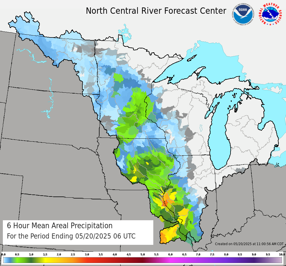
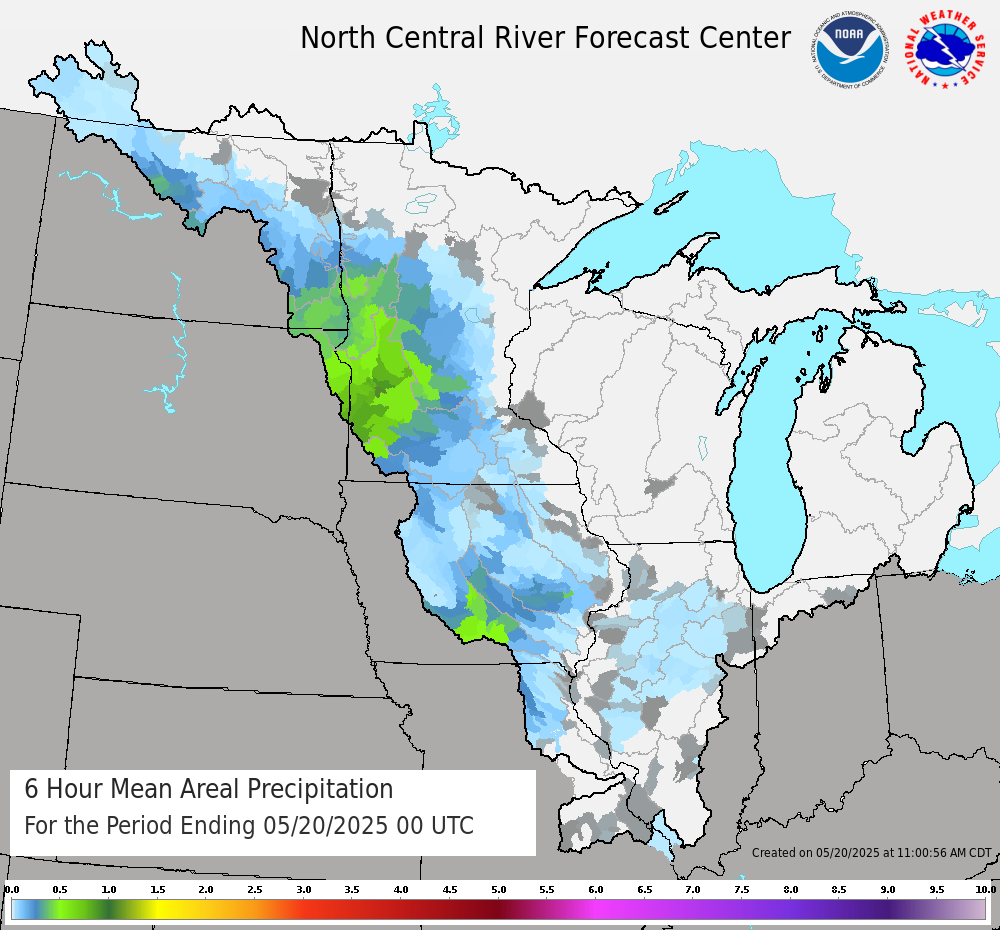
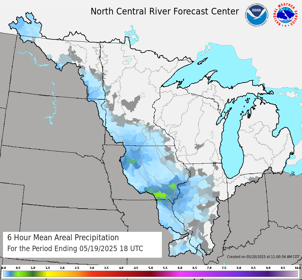
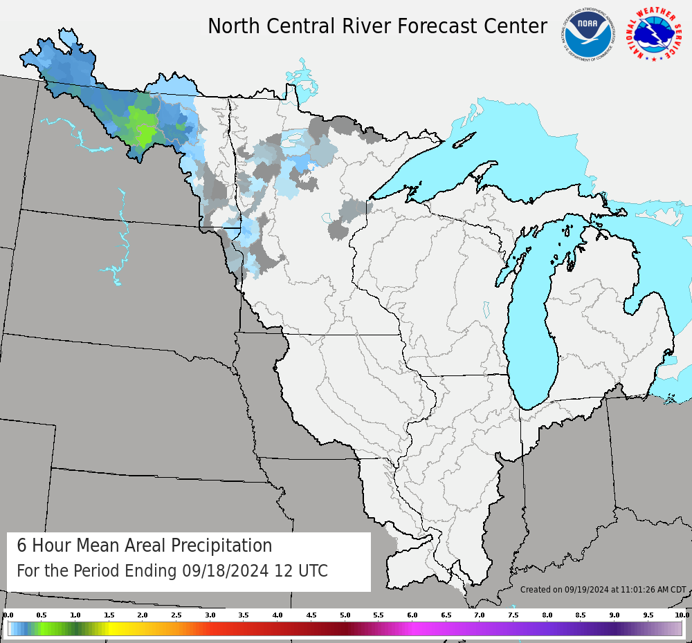
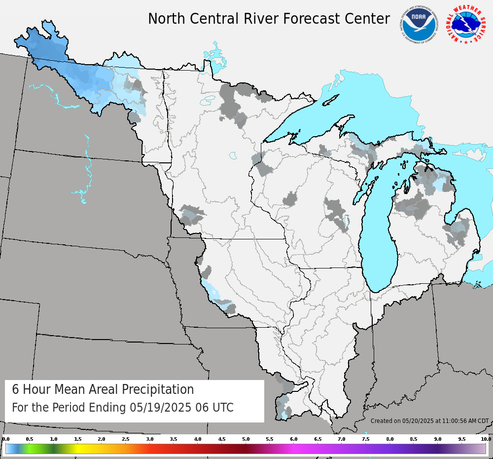
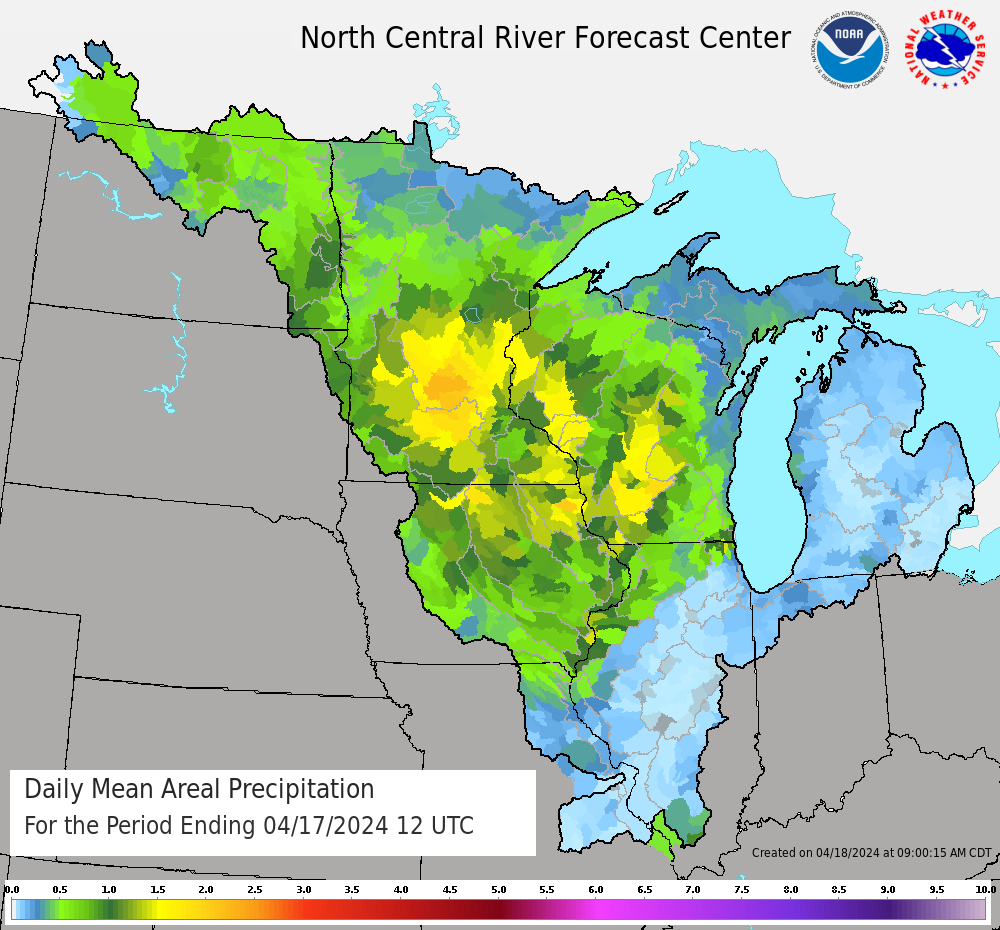
Mean Areal Precipitation is calculated for NCRFC river basins for each 6 hour time step in our river model based on our network of precipitation gauge data in our region. 24-Hour reports are time distributed for the river model based on hourly radar analysis. We routinely update MAP calculations for river forecasting as data becomes available. Images are updated routinely each day ~16Z for the past 48 hours. Each "hydrologic day" ends with this morning at 12Z (6-7 am) and includes precipitation for the past 24 hours. |
| Mean Areal Precipitation for Past 24 hour Period Ending This Morning | |||||
 |
|
||||
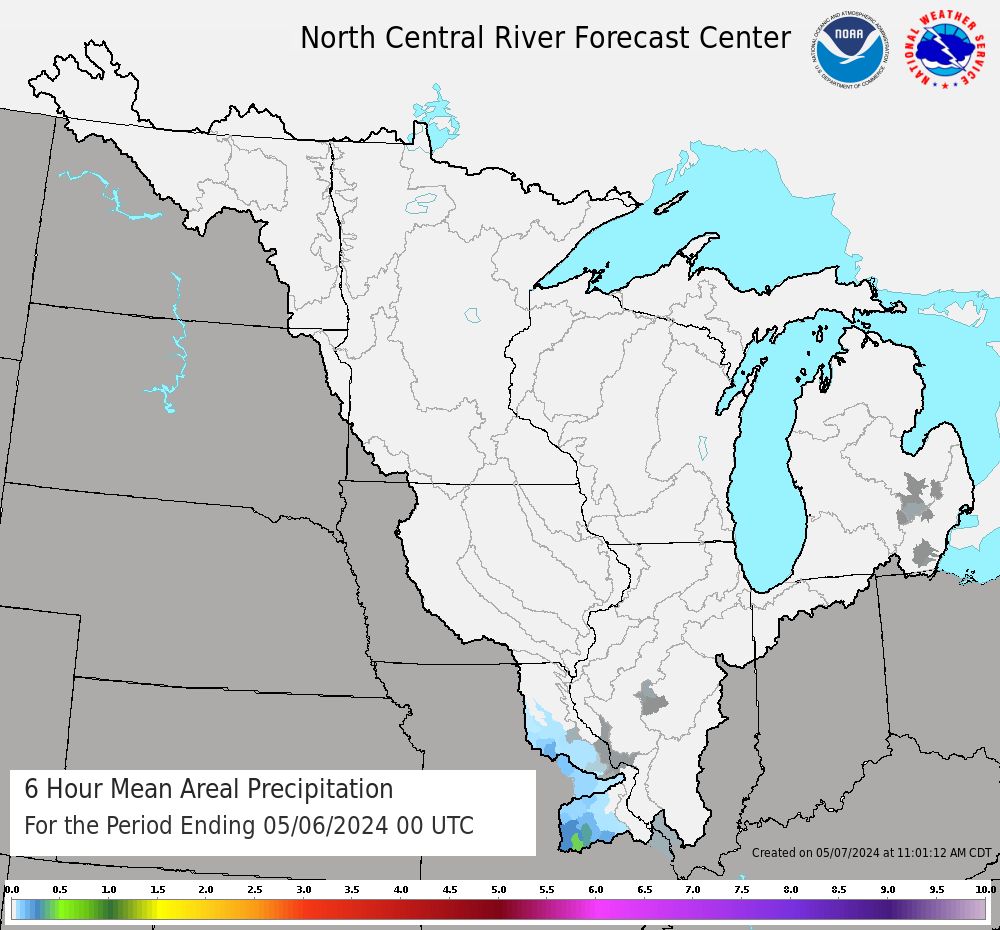
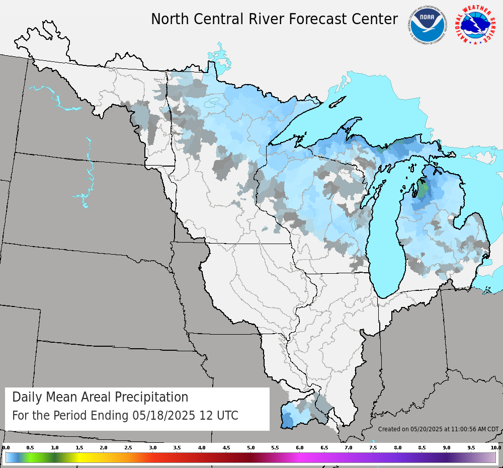
| Mean Areal Precipitation for 24 Hour Period Ending Yesterday Morning | |||||
 |
|
||||
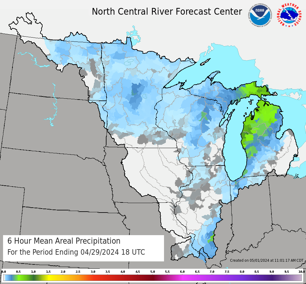
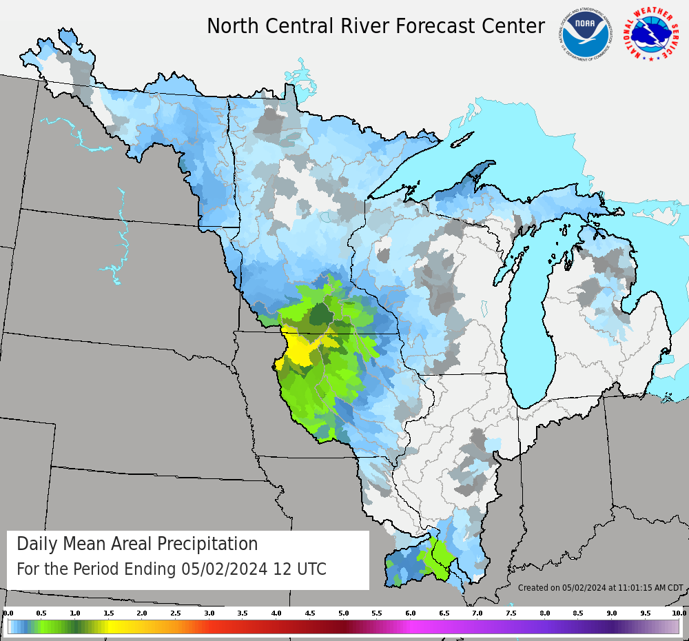
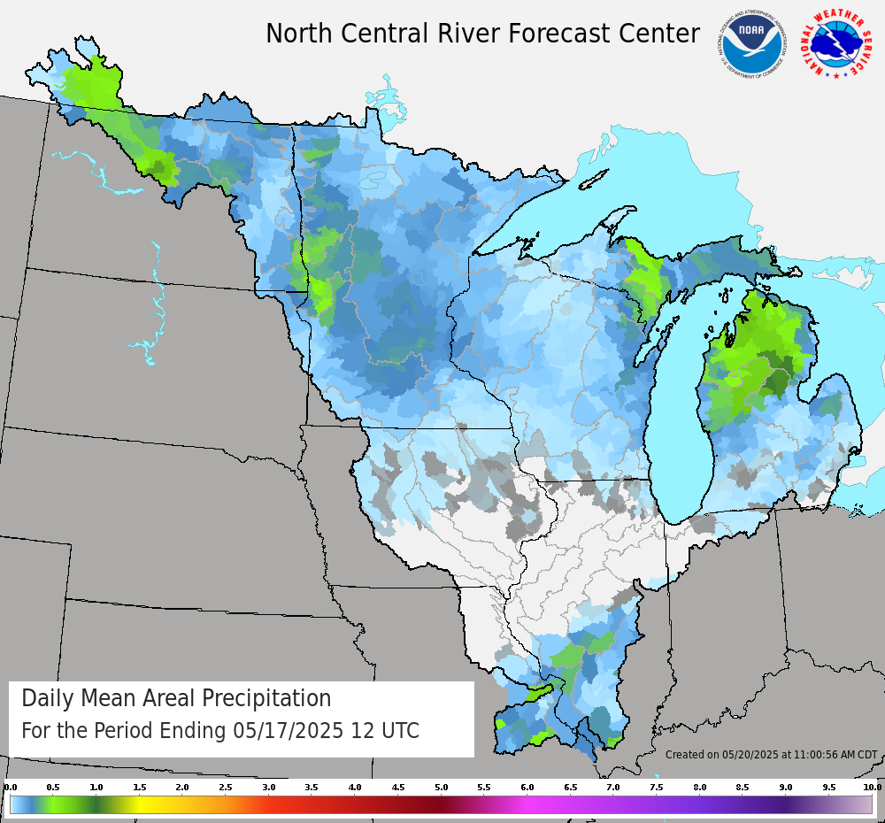
| Daily Mean Areal Precipitation for Past 3 to 5 Days | ||
 24 hour MAP 3 Days Ago |
 24 hour MAP 4 Days Ago |
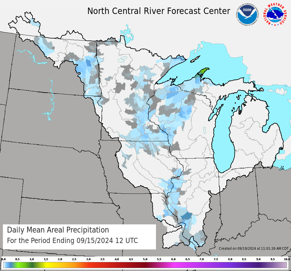 24 hour MAP 5 Days Ago |
| Cumulative Mean Areal Precipitation for Past 2 to 5 Days | |||
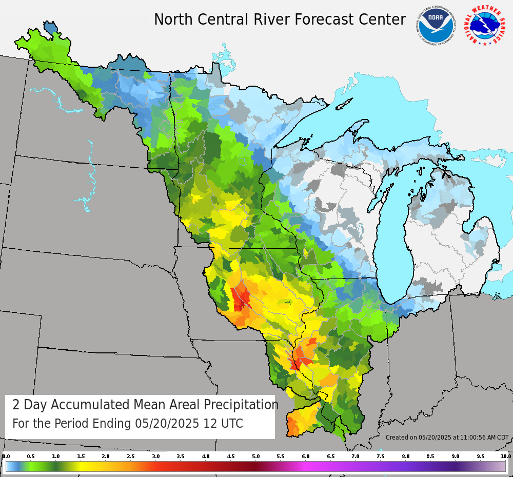 2 Day Total MAP |
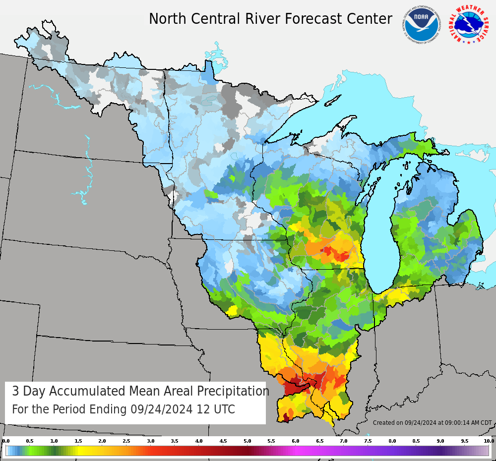 3 Day Total MAP |
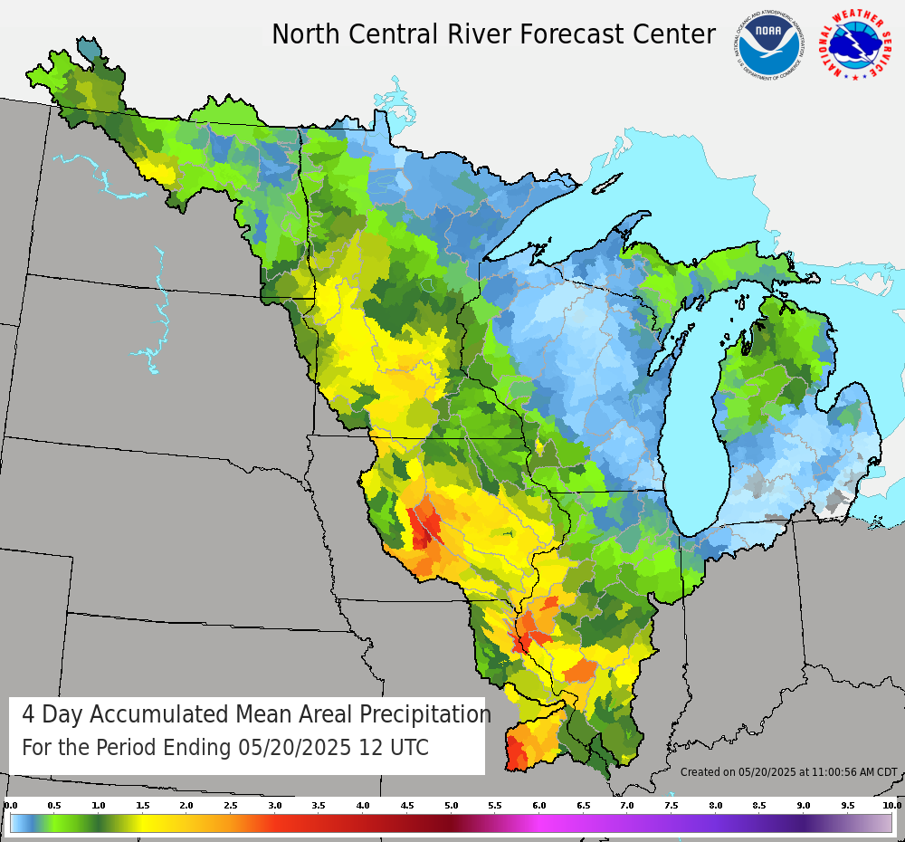 4 Day Total MAP |
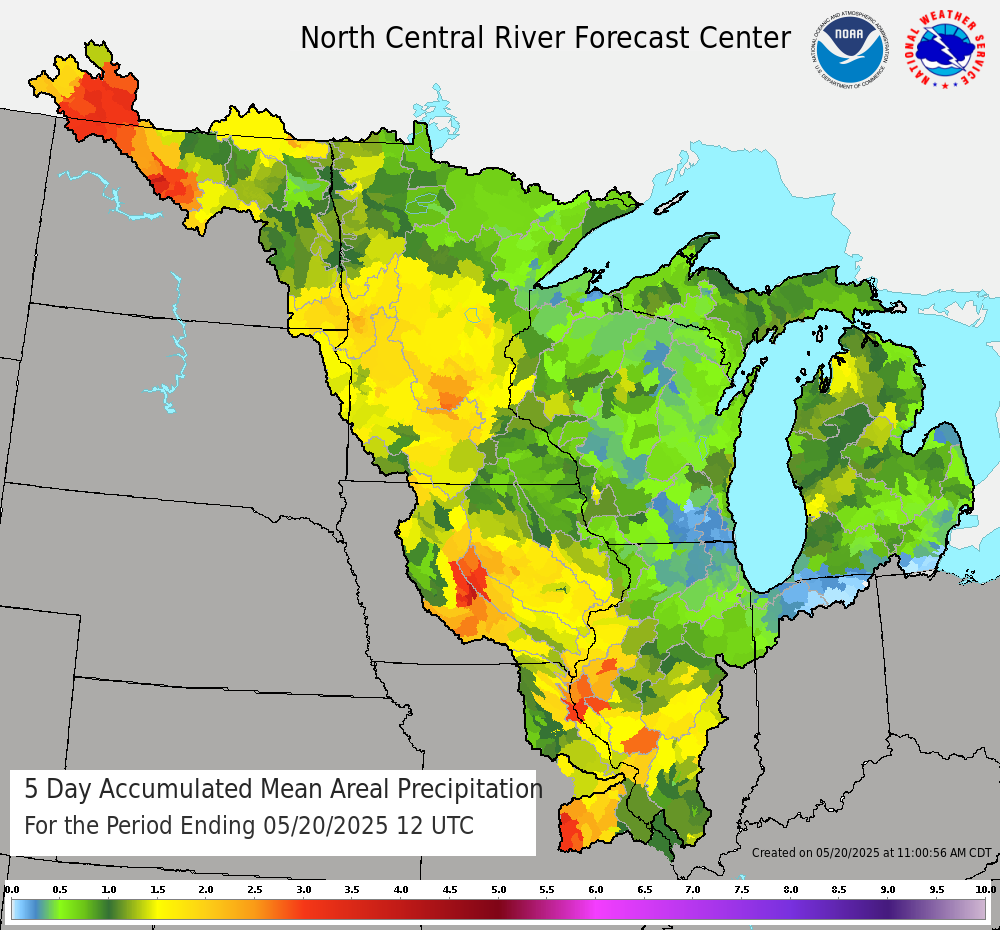 5 Day Total MAP |
Other Available Precipitation Products
US Dept of Commerce
National Oceanic and Atmospheric Administration
National Weather Service
North Central River Forecast Center
1733 Lake Drive West
Chanhassen, MN 55317-8581
952-361-6650
Comments? Questions? Please Contact Us.