National Weather Service United States Department of Commerce
Click a location below for detailed forecast.

Last Map Update: Tue, May 27, 2025 at 3:06:29 pm CDT
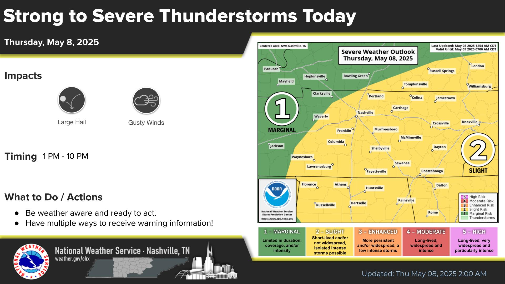
Scattered showers and thunderstorms continue today. Periods of heavy downpours are possible through the afternoon and into the evening. With soils already saturated across Middle TN, additional heavy rain over short periods may lead to localized flash-flooding. Highest rainfall amounts are expected over the Cumberland Plateau.
Rain & storm chances will increase late this afternoon & evening. Localized flash-flooding is possible with any heavy downpours. Rain & storm chances will stay through the end of the week, but the risk of severe storms is very low. Expect lower rain chances this weekend with pleasant temperatures.

​

Middle Tennessee Weather History For May 27th...
On May 27, 2000...F3 tornado hits Houston County, moving through
Tennessee Ridge and Erin. Damages are estimated at $1.3 million.
Roofs and walls of some well constructed homes are torn off. Many
trees are snapped and blown down along with power lines. The Betty
Ligon Pavillion in Erin is flattened. Fifty people require shelter at
Erin. A storage trailer is moved 50 feet at Tennessee Ridge.
Fortunately, there are no injuries or fatalities.


Text Product Selector (Selected product opens in current window)


Briefing Hydrology Past Weather Events Graphical Hazardous Weather Outlook for Middle Tennessee Middle Tennessee Observations
Decision Support Hydrology Past Weather Events GHWO Observations Gridded Forecast
Daily Climate for Middle Tennessee Local Middle Tennessee Climate Tornado Database Tropical Weather Information NOAA Weather Radio
IDSS Point Forecasts Daily Climate Local Climate Tornado Database Tropical Weather Radio
   
Being Prepared Probabilistic Outreach