National Weather Service United States Department of Commerce
Click a location below for detailed forecast.

Last Map Update: Mon, May 5, 2025 at 2:14:26 am CDT

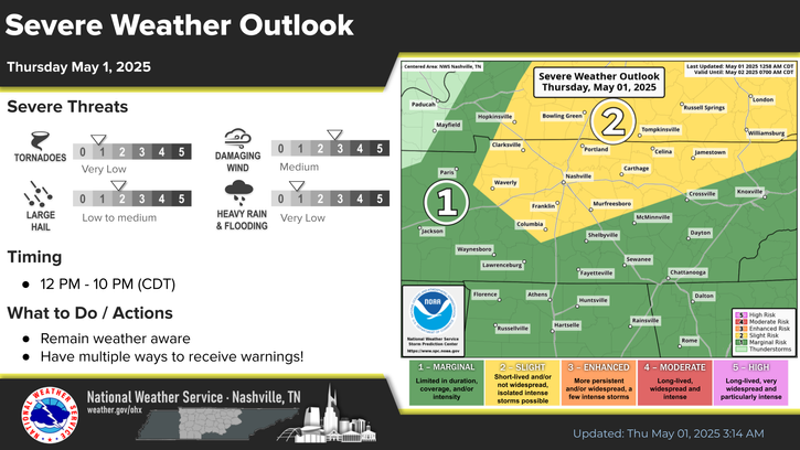
Low rain chances persist Monday, but rain chances increase starting Wednesday. Good news is that severe weather chances are low, and rain totals are expected to stay below 1 inch.
Temperatures will be nice this week as highs stay near to below normal for early May!
Weather101 classes continue this week!

​

Middle Tennessee Weather History For May 5th...
On May 5, 2003...Two waves of severe weather drop a total of 14
twisters across Middle Tennessee during the late evening of May 4
into the early morning of May 5, then again from late morning through
early afternoon on May 5. One person is injured in Montgomery County
by an F3 tornado, and two people are injured by another F3 tornado in
Lincoln County. Baseball-size hail is reported in Lutts (Wayne
County). In addition, widespread flash flooding occurs as a result of
excessive rainfall. Nashville measures 4.63 inches of rain. This is
also the 9th largest tornado outbreak in mid state history.


Text Product Selector (Selected product opens in current window)


Briefing Hydrology Past Weather Events Graphical Hazardous Weather Outlook for Middle Tennessee Middle Tennessee Observations
Decision Support Hydrology Past Weather Events GHWO Observations Gridded Forecast
Daily Climate for Middle Tennessee Local Middle Tennessee Climate Tornado Database Tropical Weather Information NOAA Weather Radio
IDSS Point Forecasts Daily Climate Local Climate Tornado Database Tropical Weather Radio
   
Being Prepared Probabilistic Outreach