 |
 |
 |
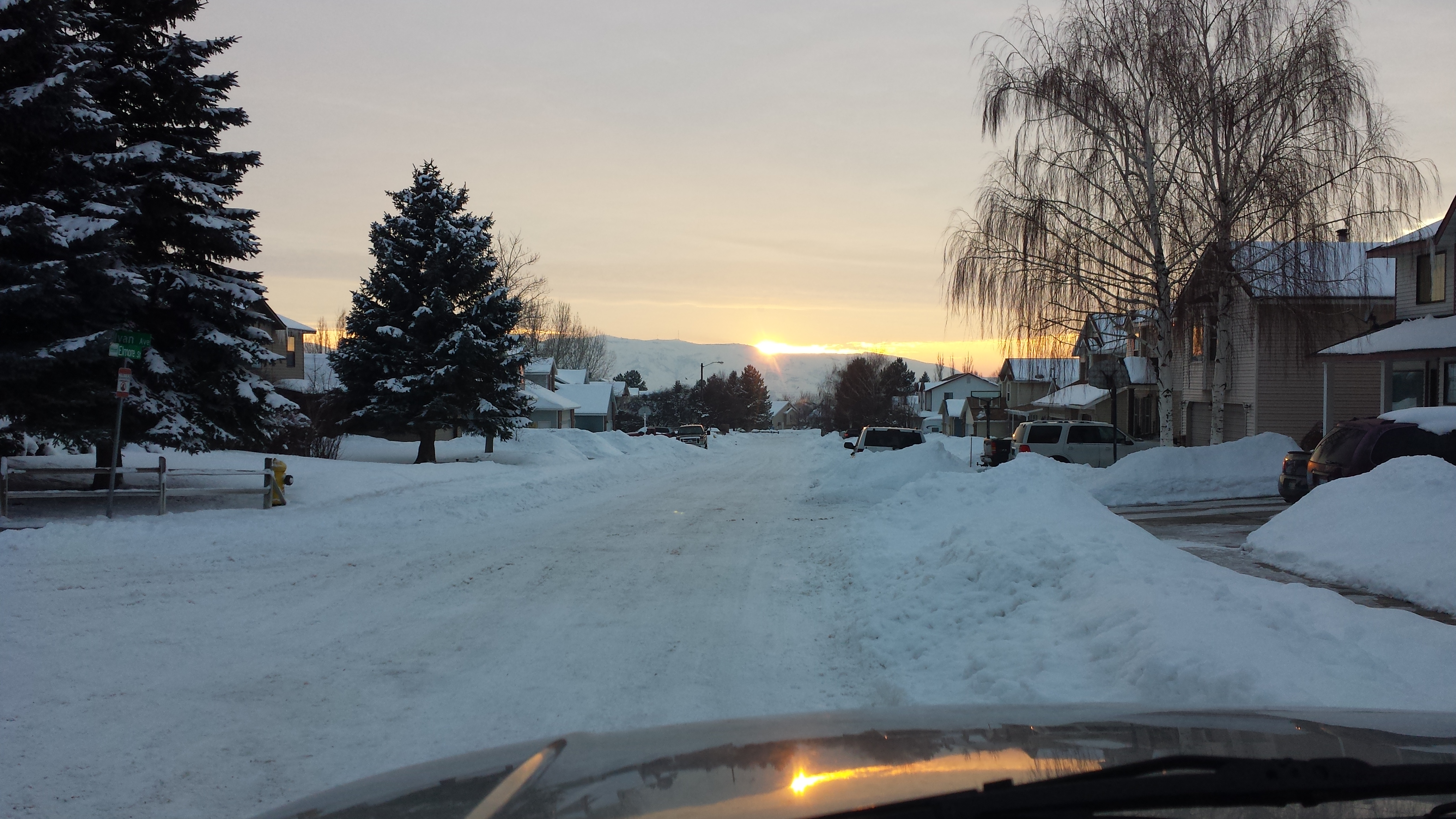
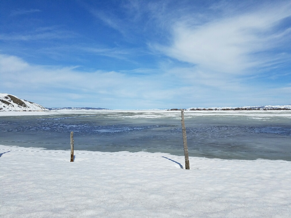
| A sunset in Pocatello, Idaho in late January. Pocatello had a snow depth of around 15 inches going into February. For the month of January, the Pocatello Airport received 32" of snow in 2017, normal is 8.5". |
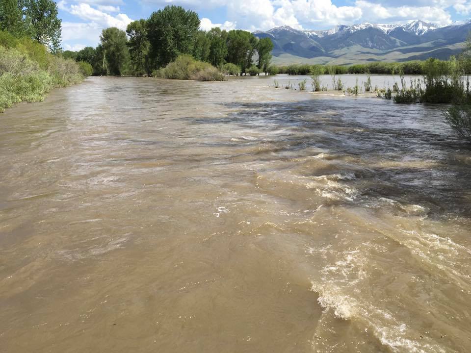
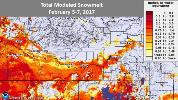
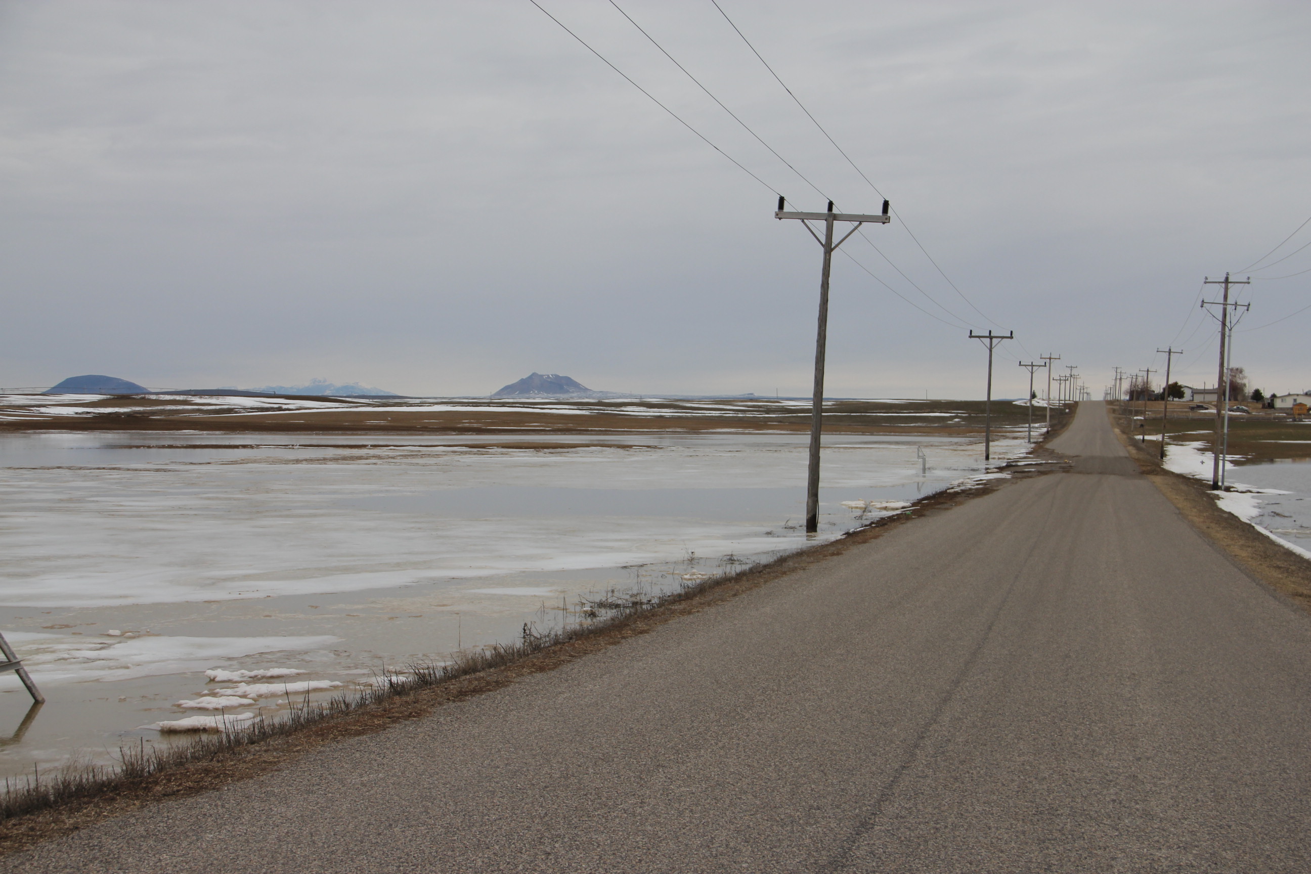
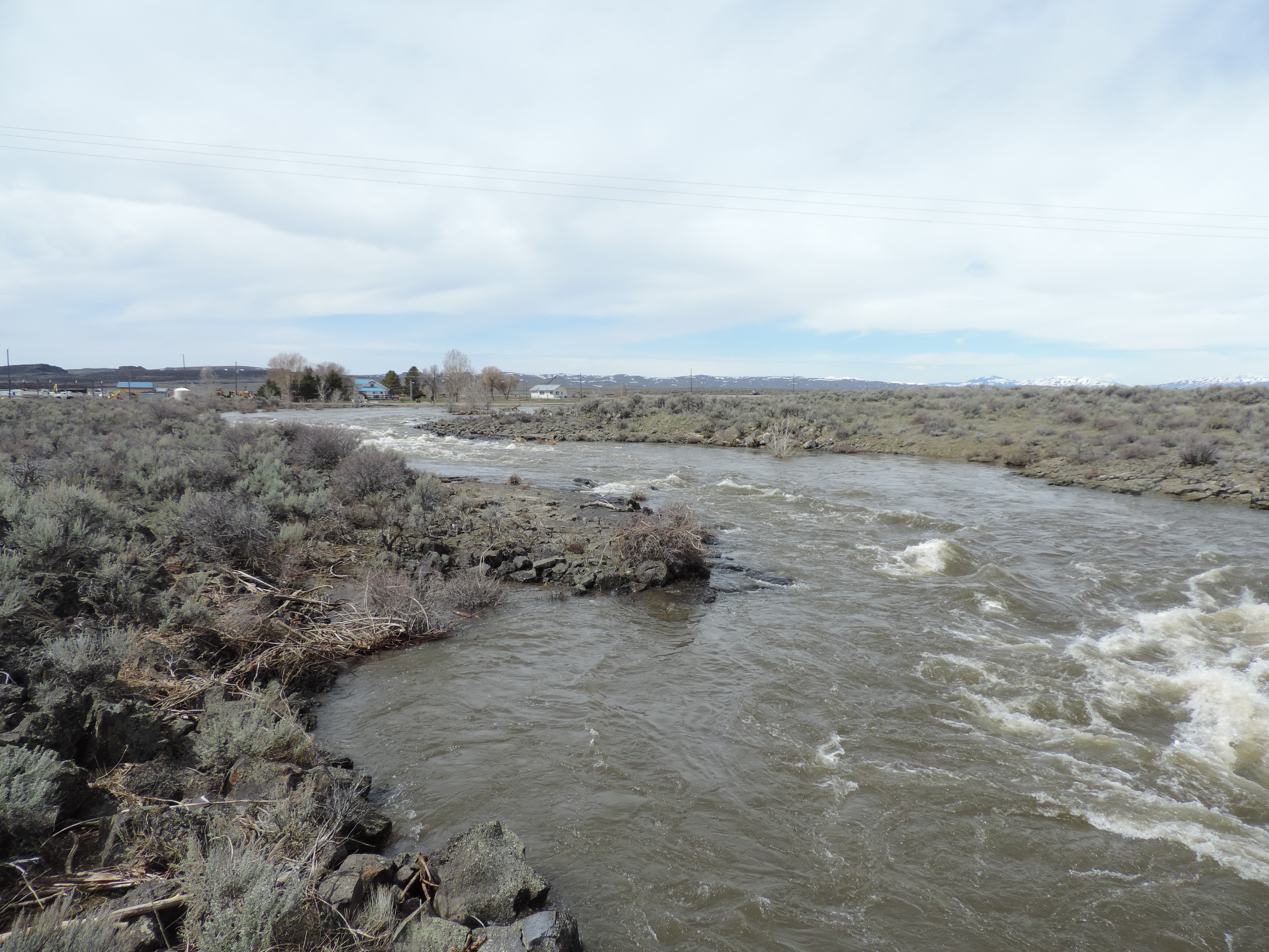
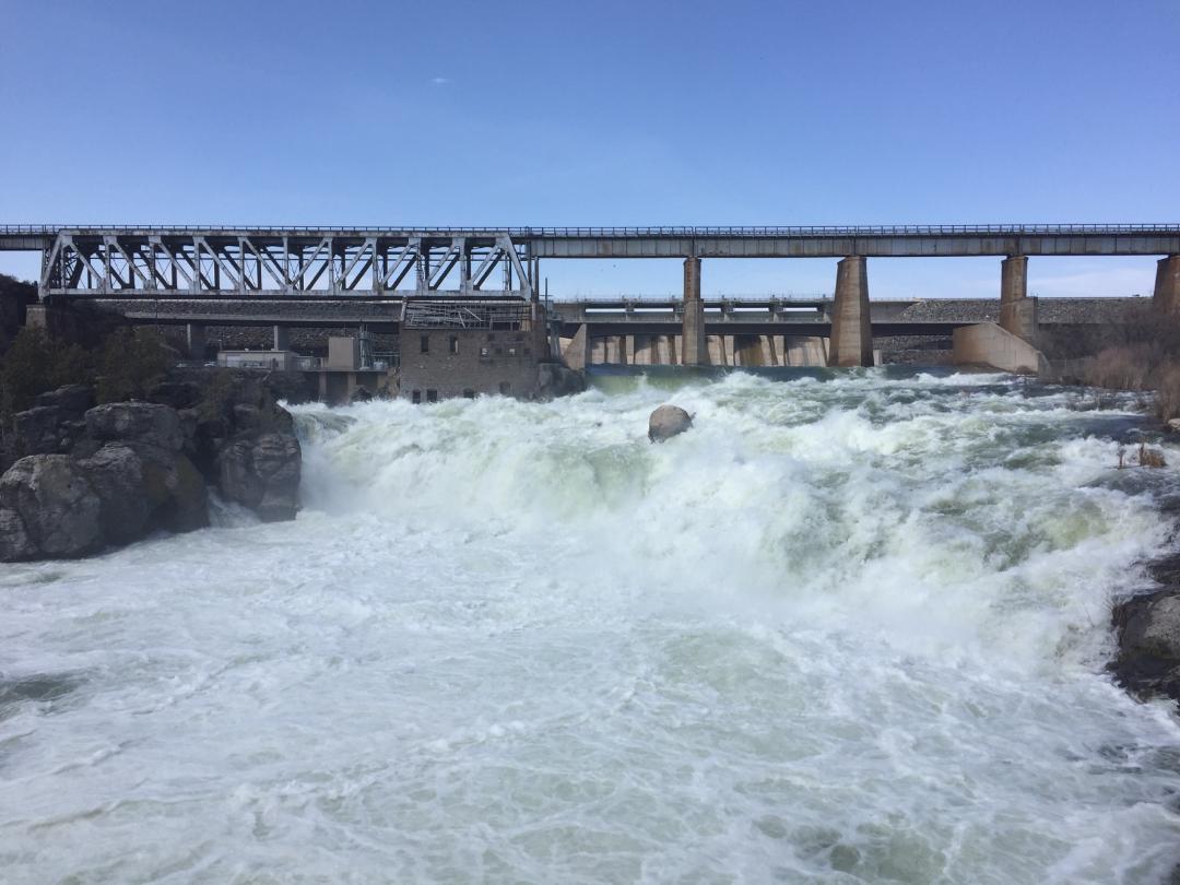
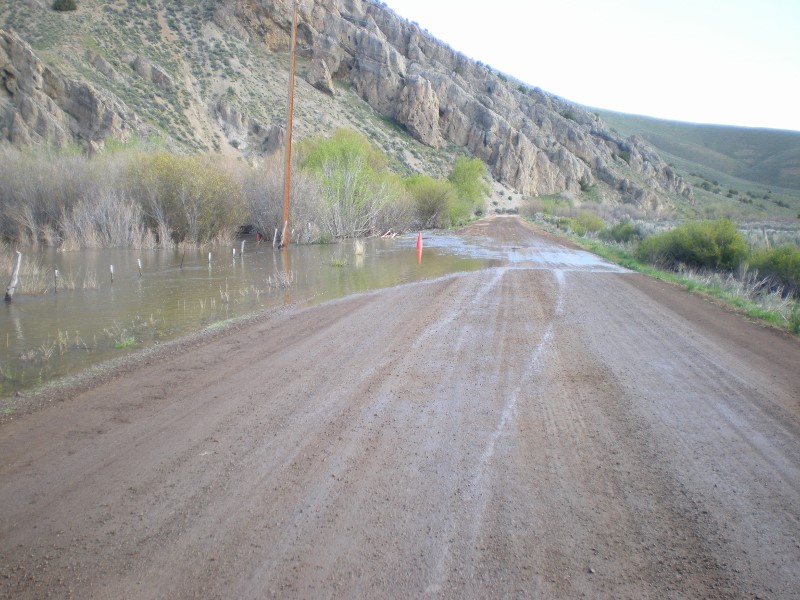
An atmospheric river event occurred from February 4th to the 10th. This brought heavy snow to the mountains and highlands, but rain on snow in the lower elevations. Let the flooding commence! |
Modeled snowmelt for the 3 day period from February 5th to the 7th. |
 |
 |
 |
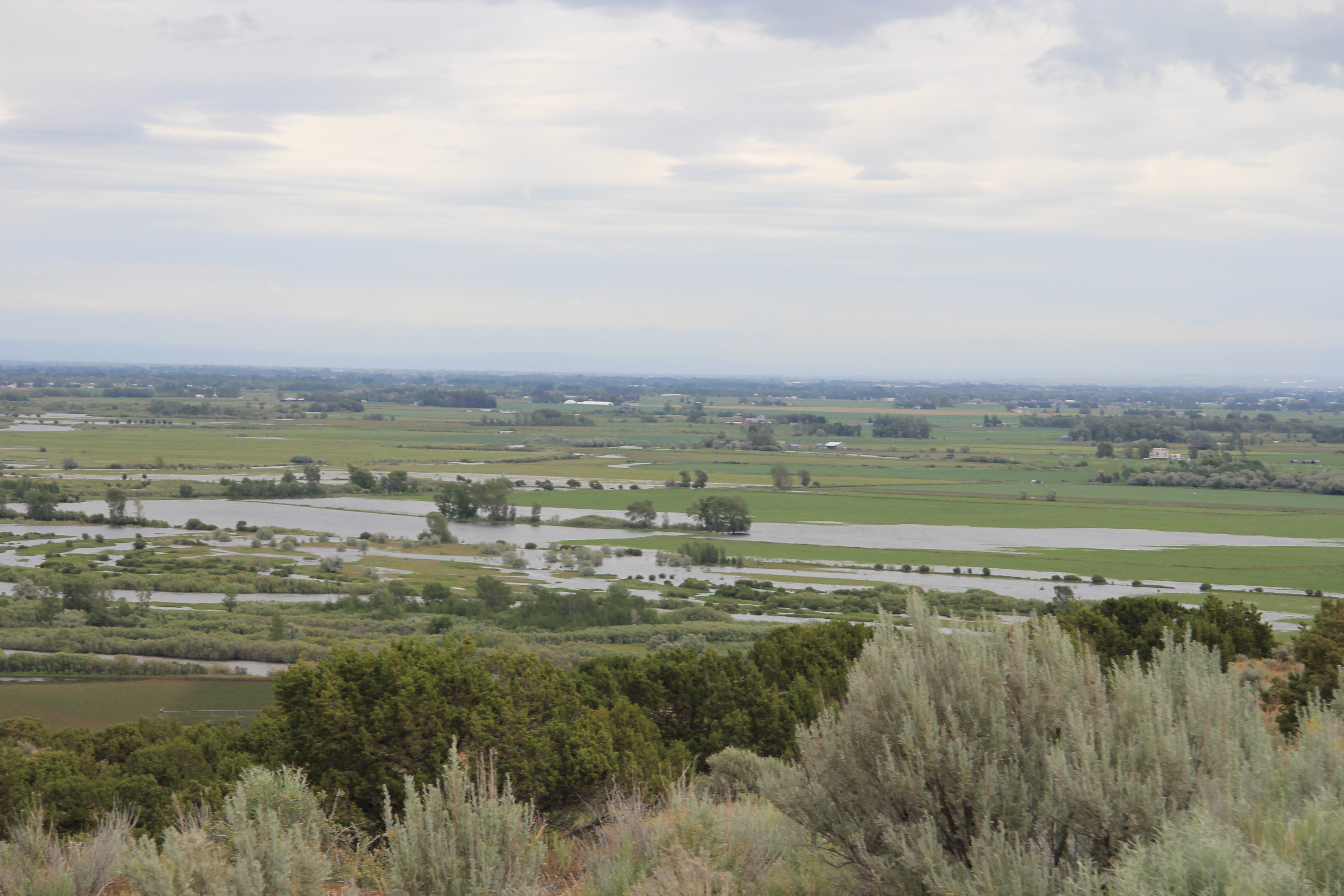
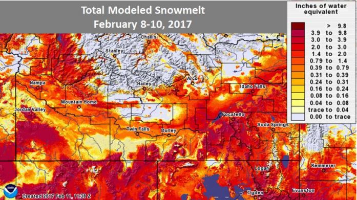
| Modeled snowmelt for the 3 day period from February 8th to the 10th. Snowmelt water equivalent for the entire 6 days was 2.50 to 6.00 inches across much of the Magic Valley and Snake Plain. |
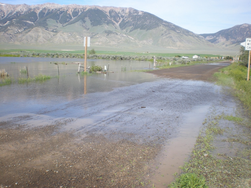
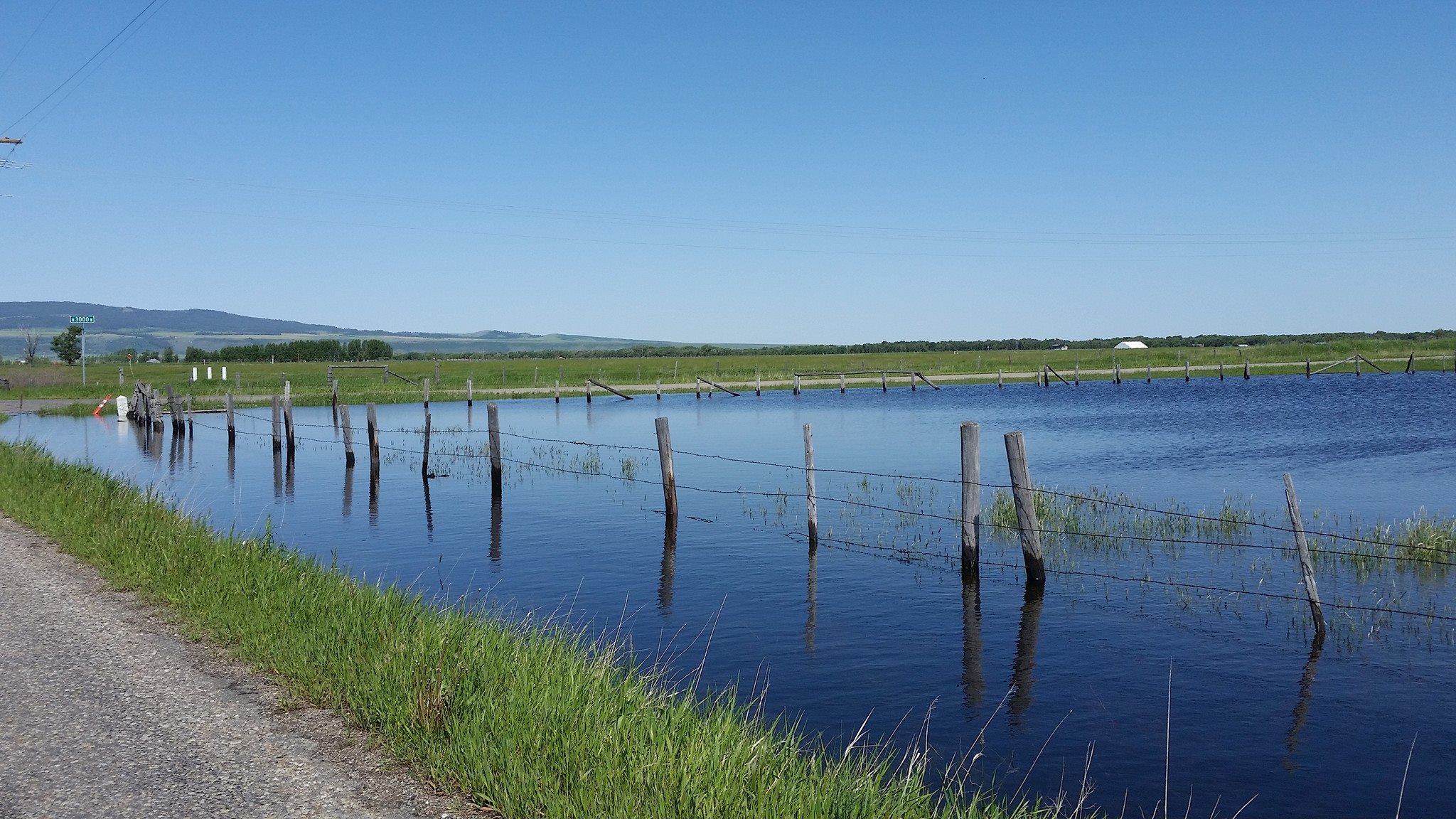
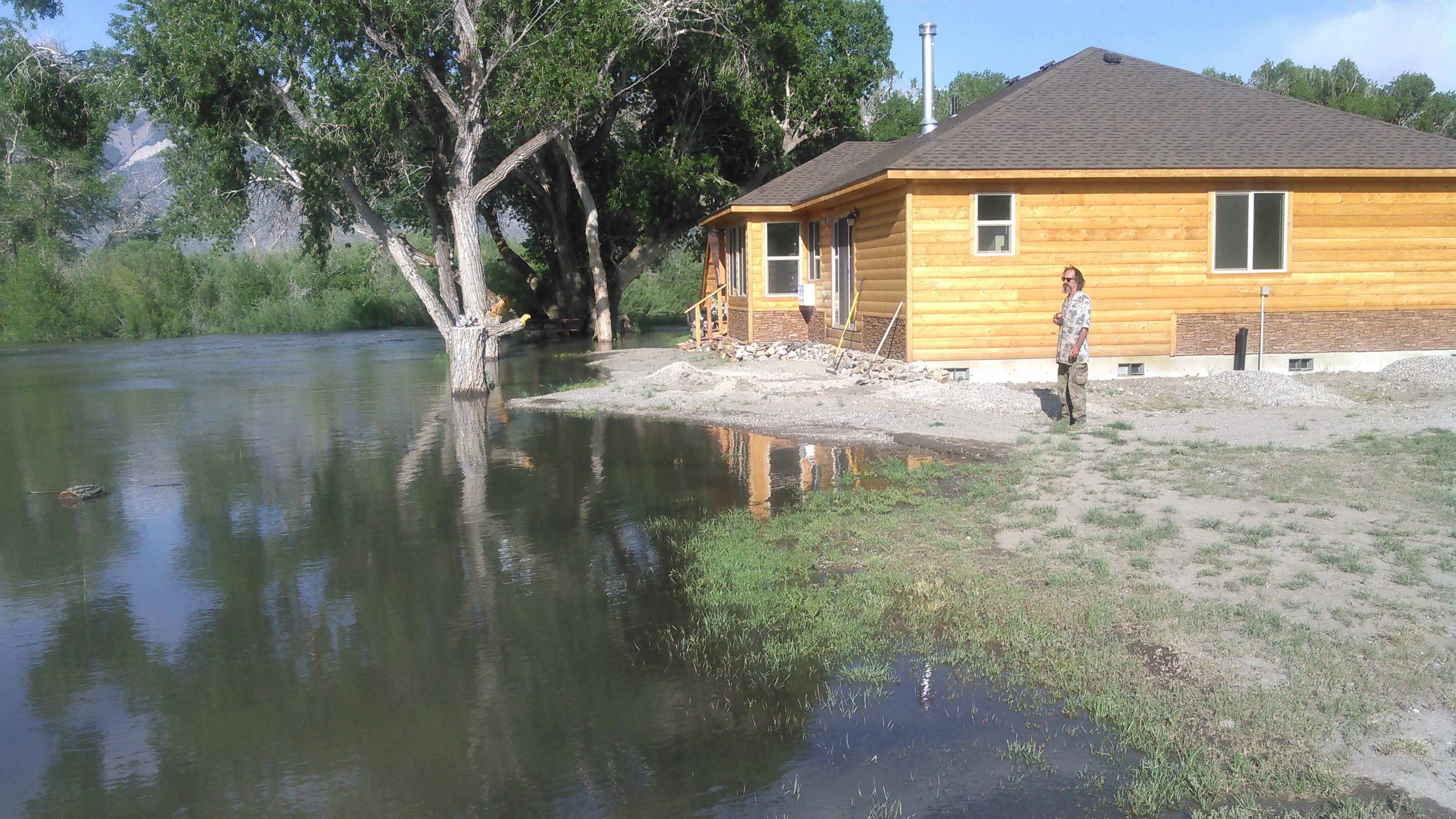
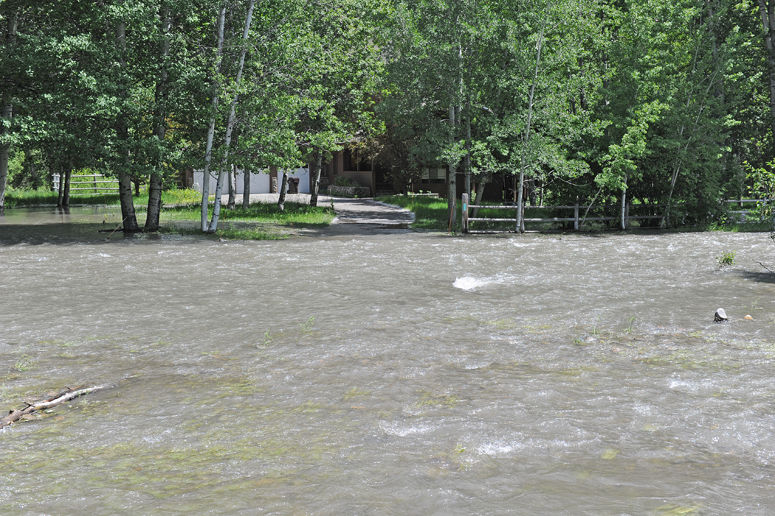
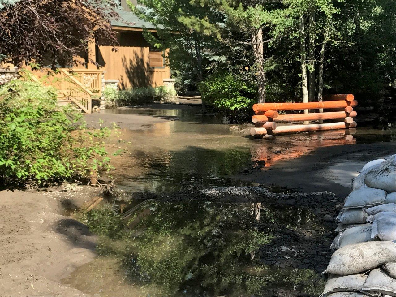
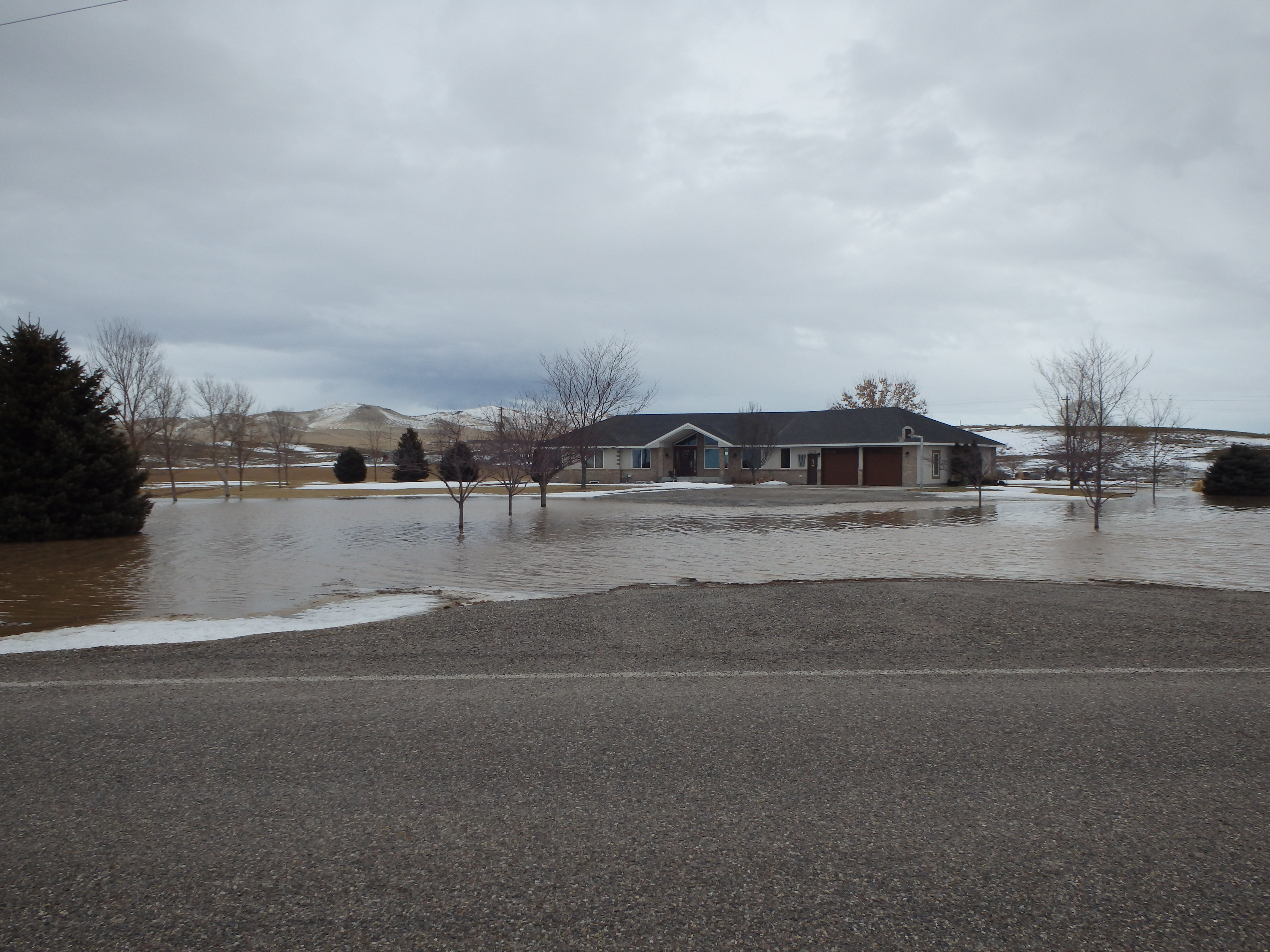
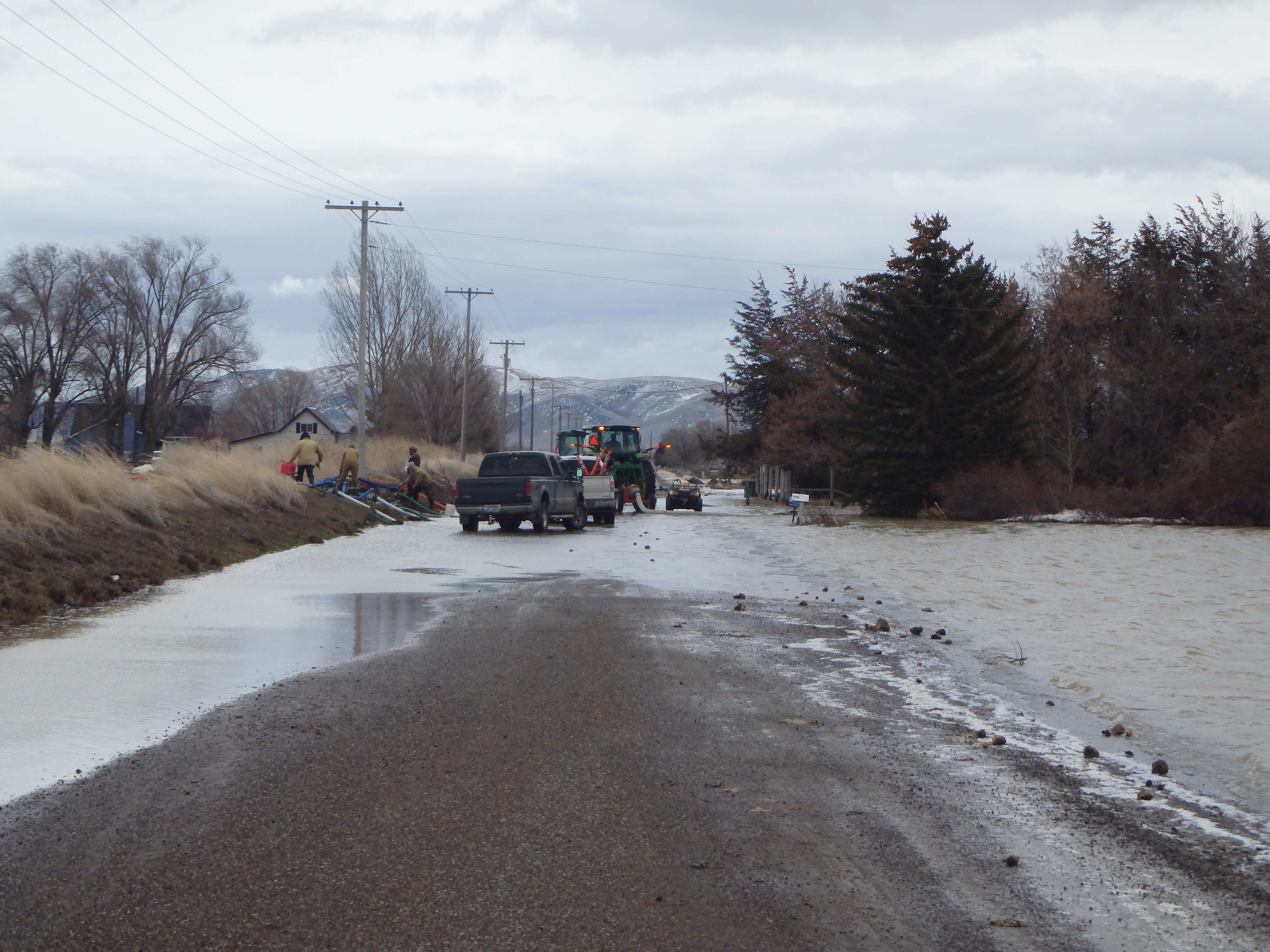
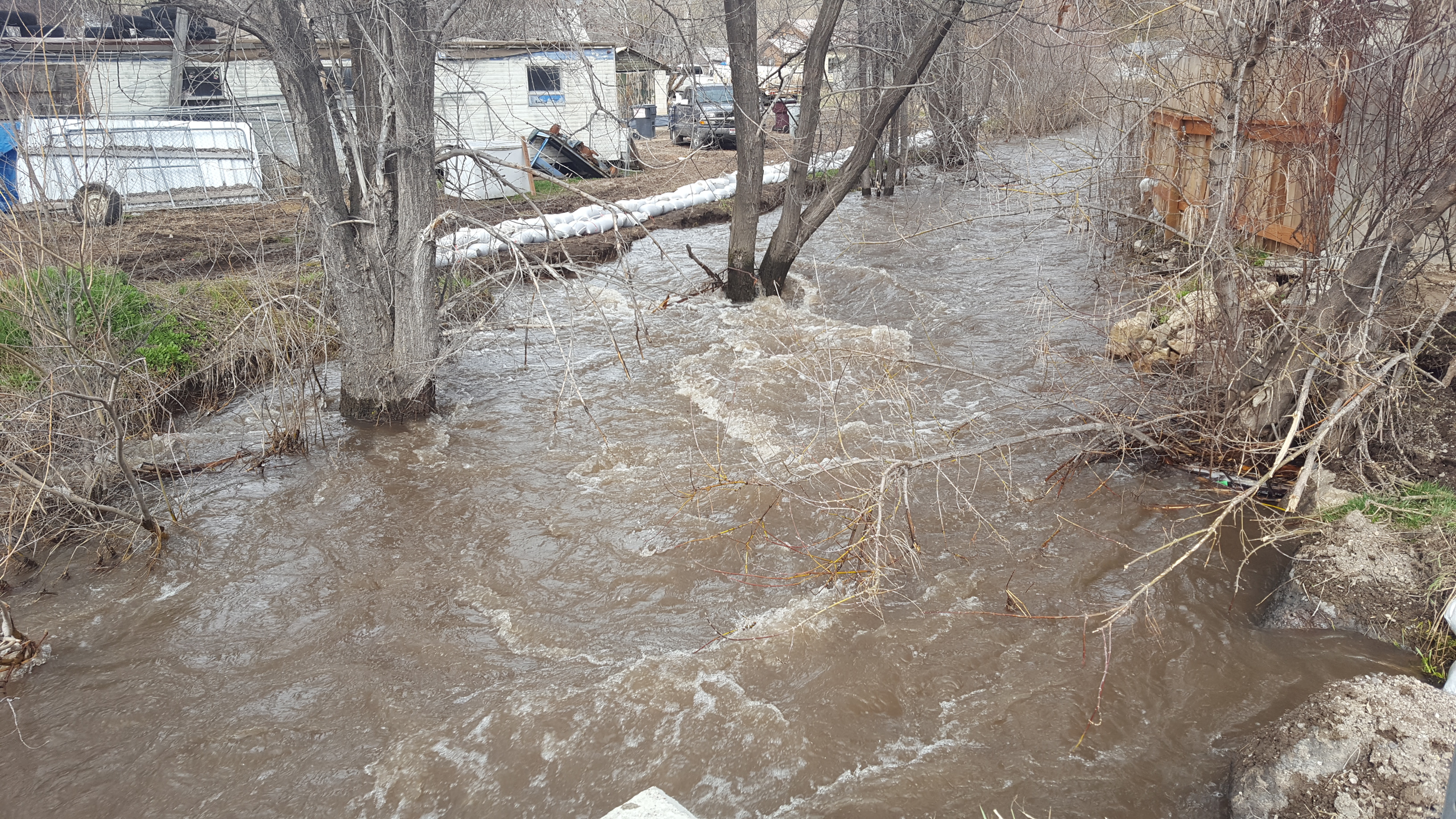
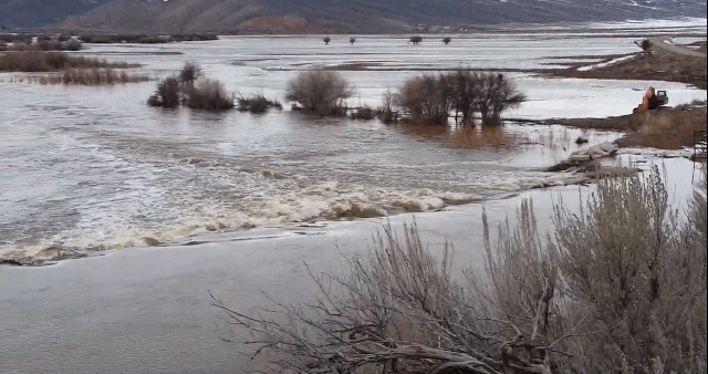
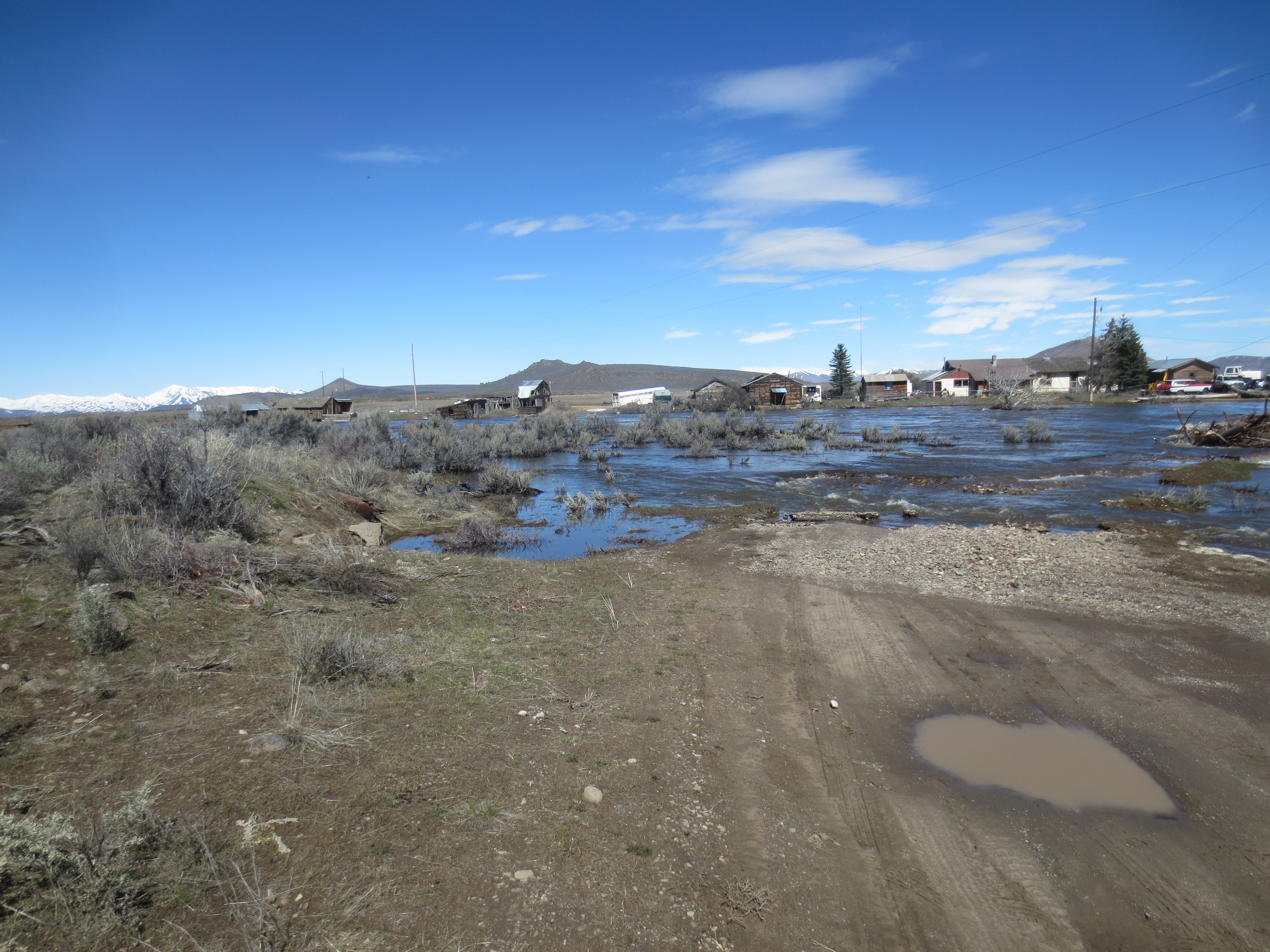
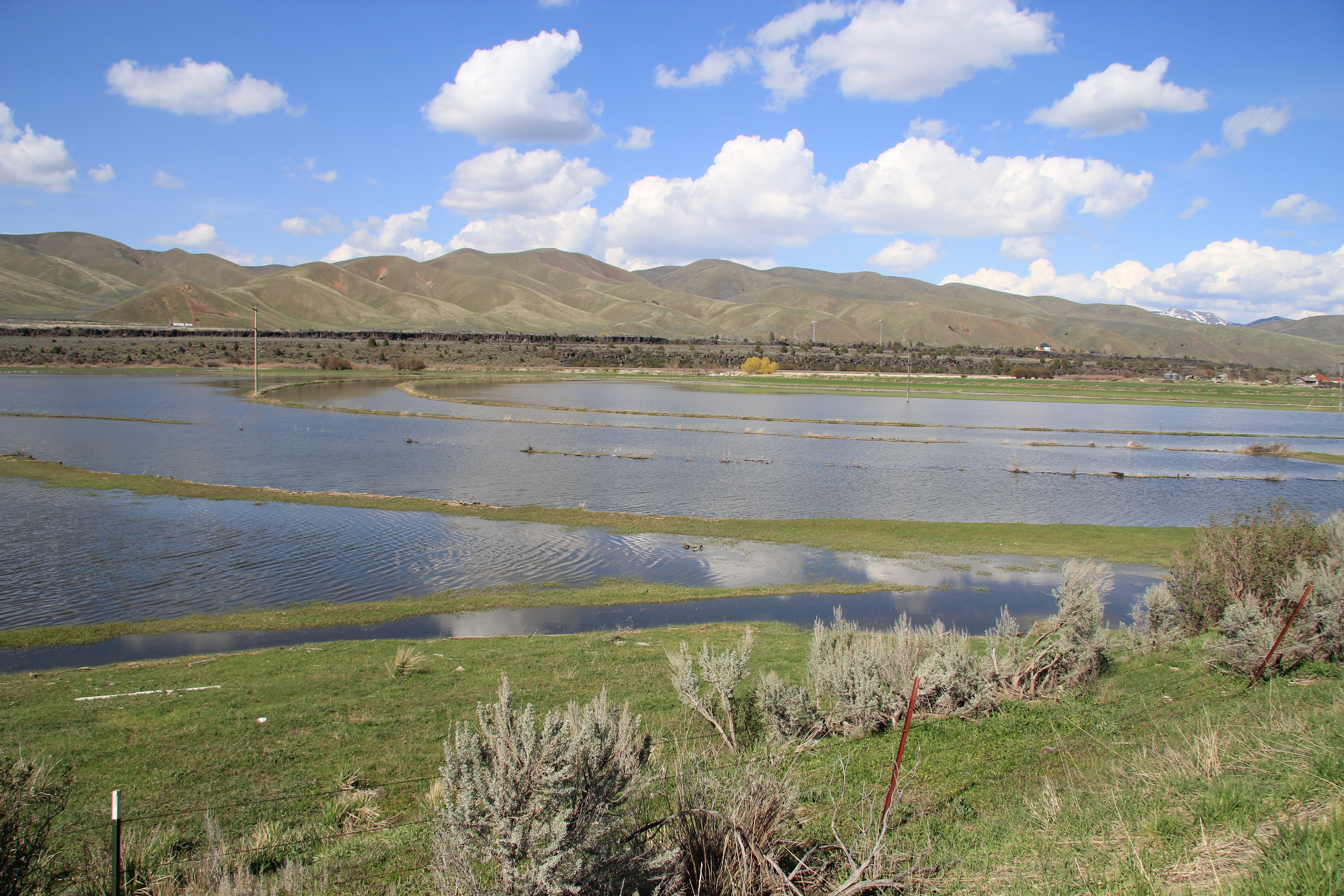
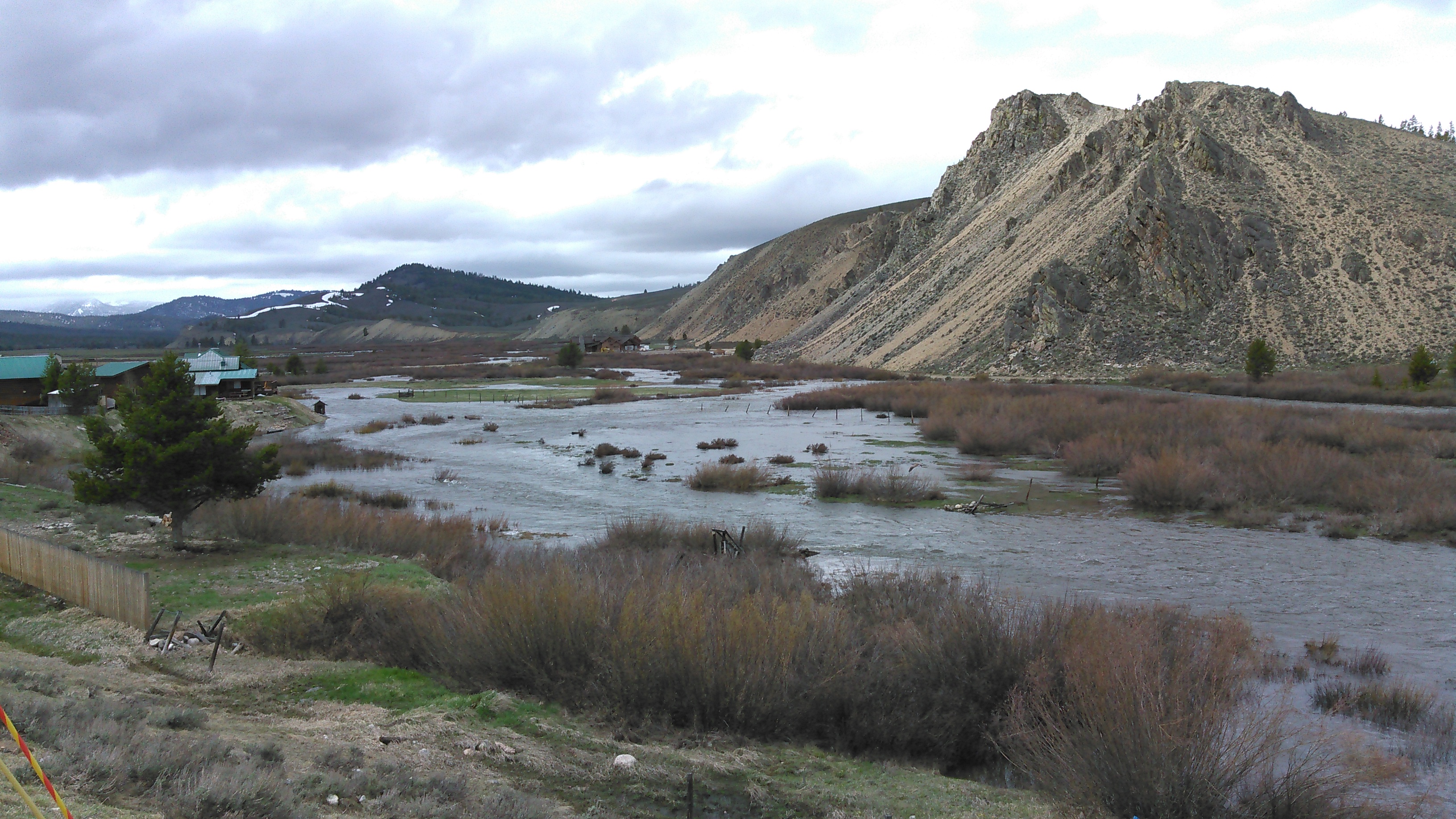
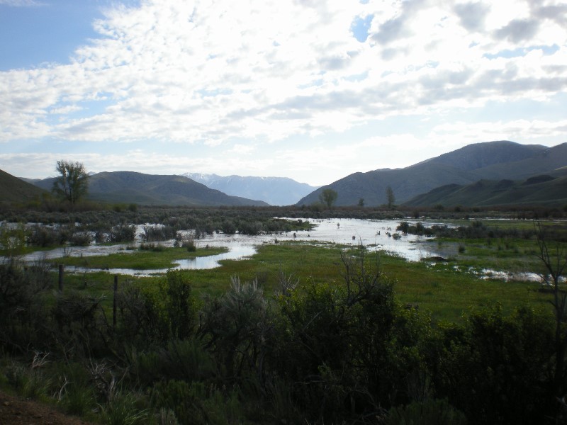
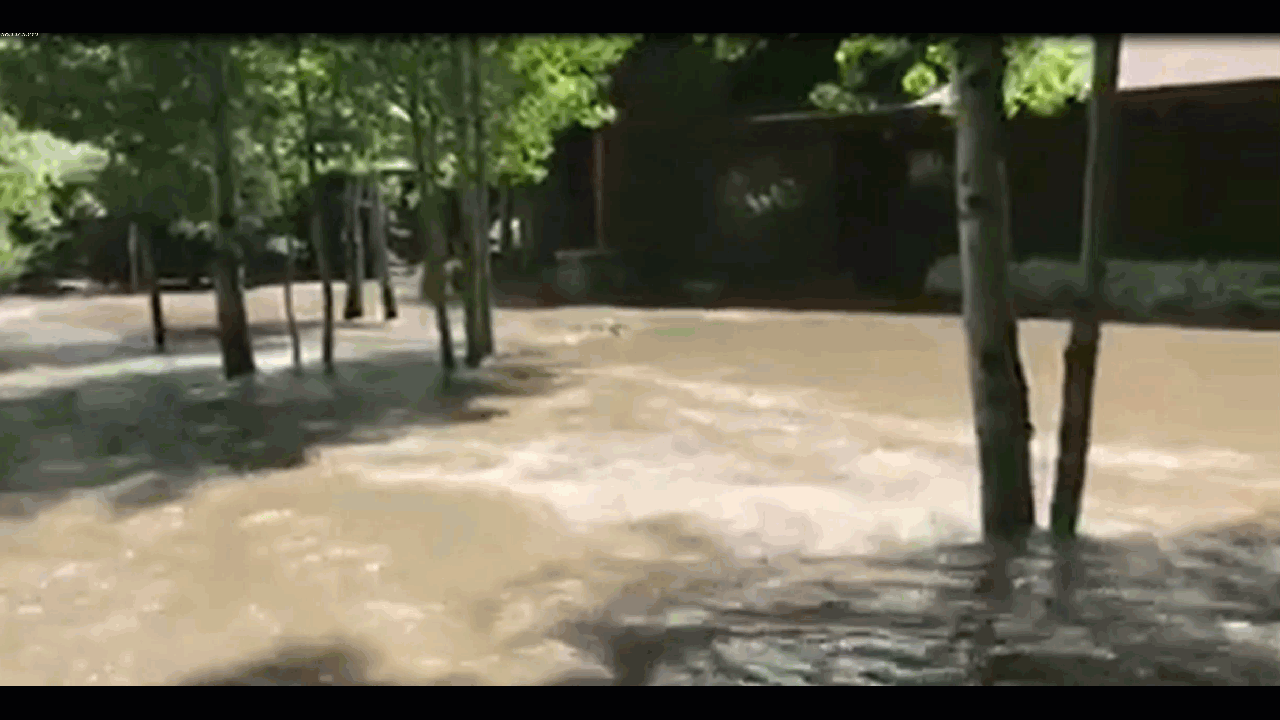
The worst flooding occurred in Cassia and Minidoka Counties on February 6th when snow melted in the fields and was unable to drain or seep into the frozen ground. Multiple homes were threatened and roads were submerged. |
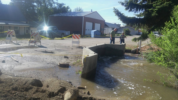
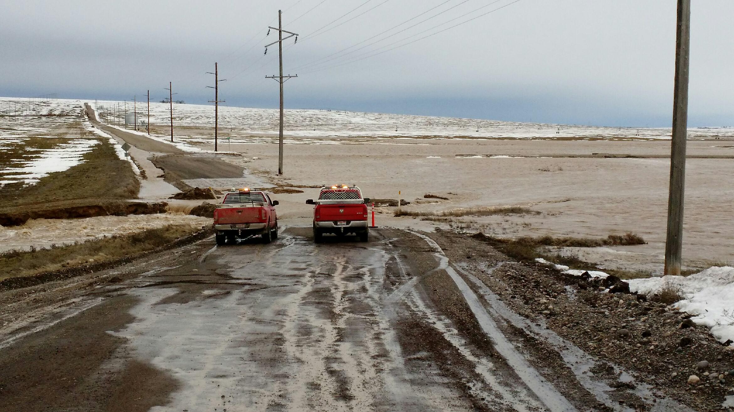
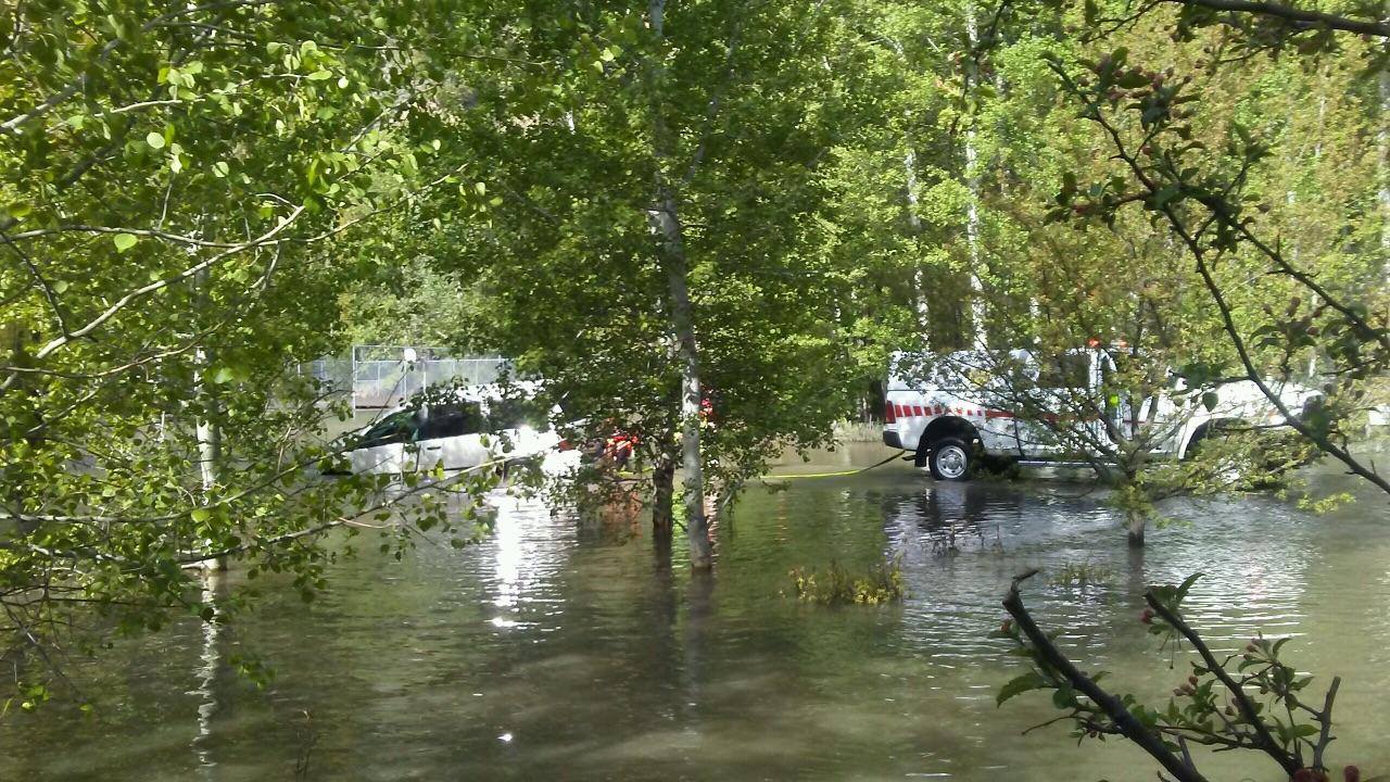
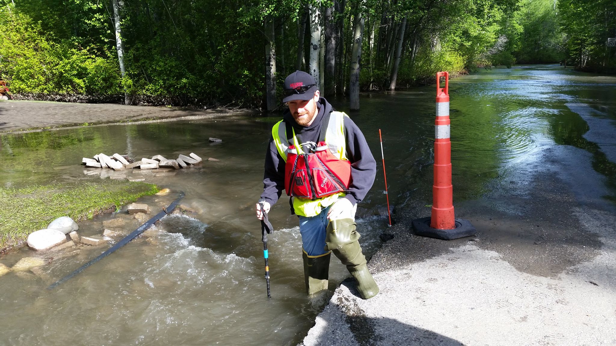
Crews working in the Mini-Cassia region to divert flood water on February 6th. |
 |
 |
 |
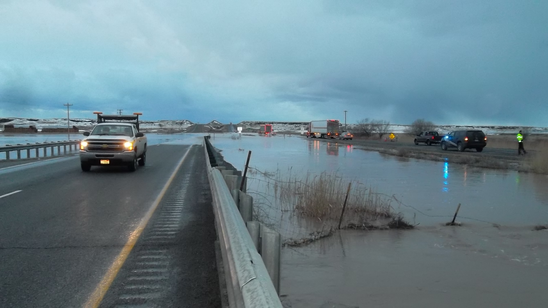
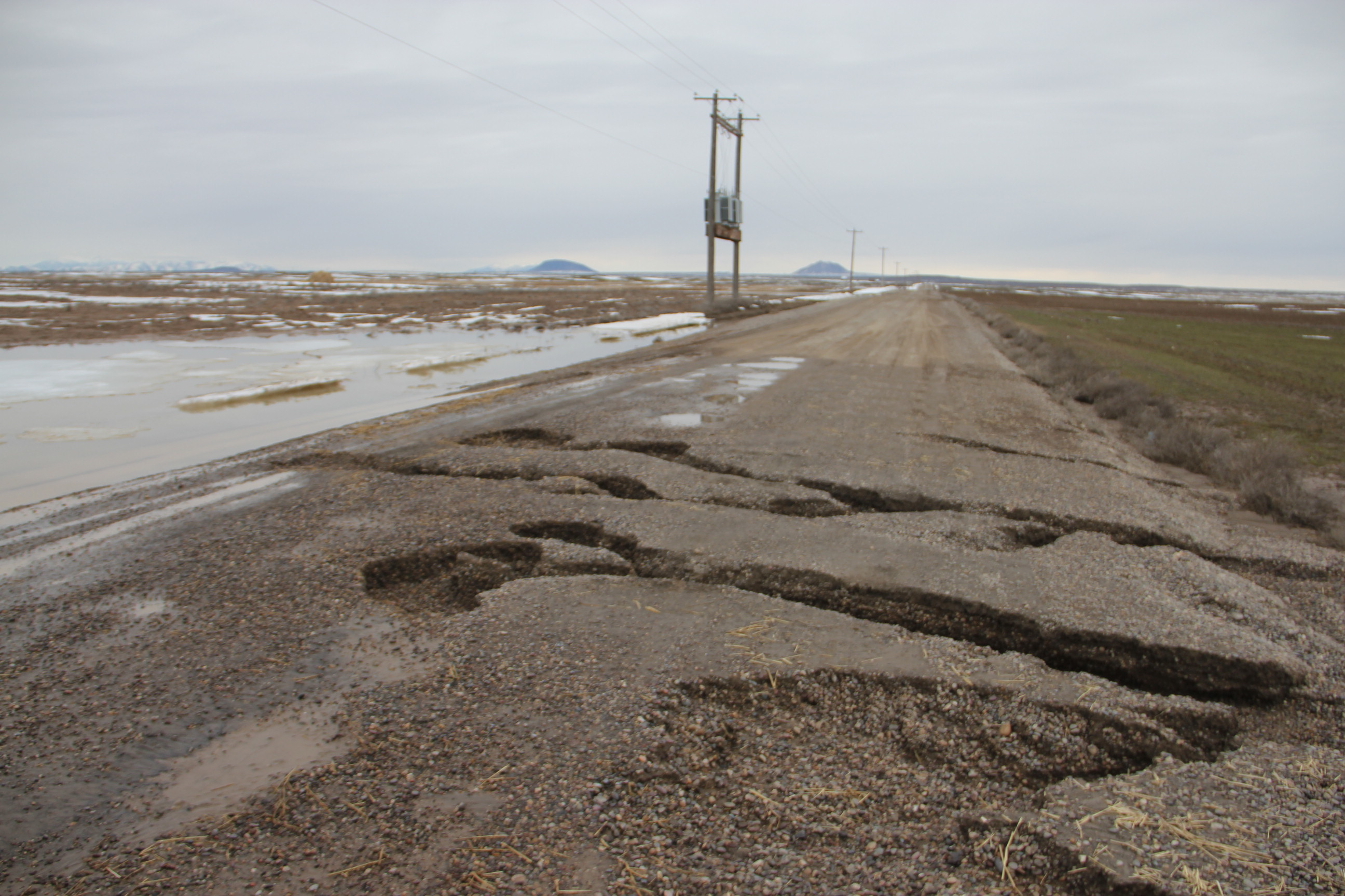
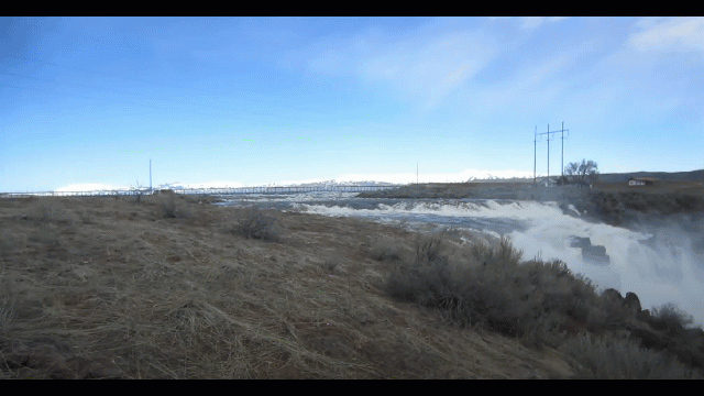
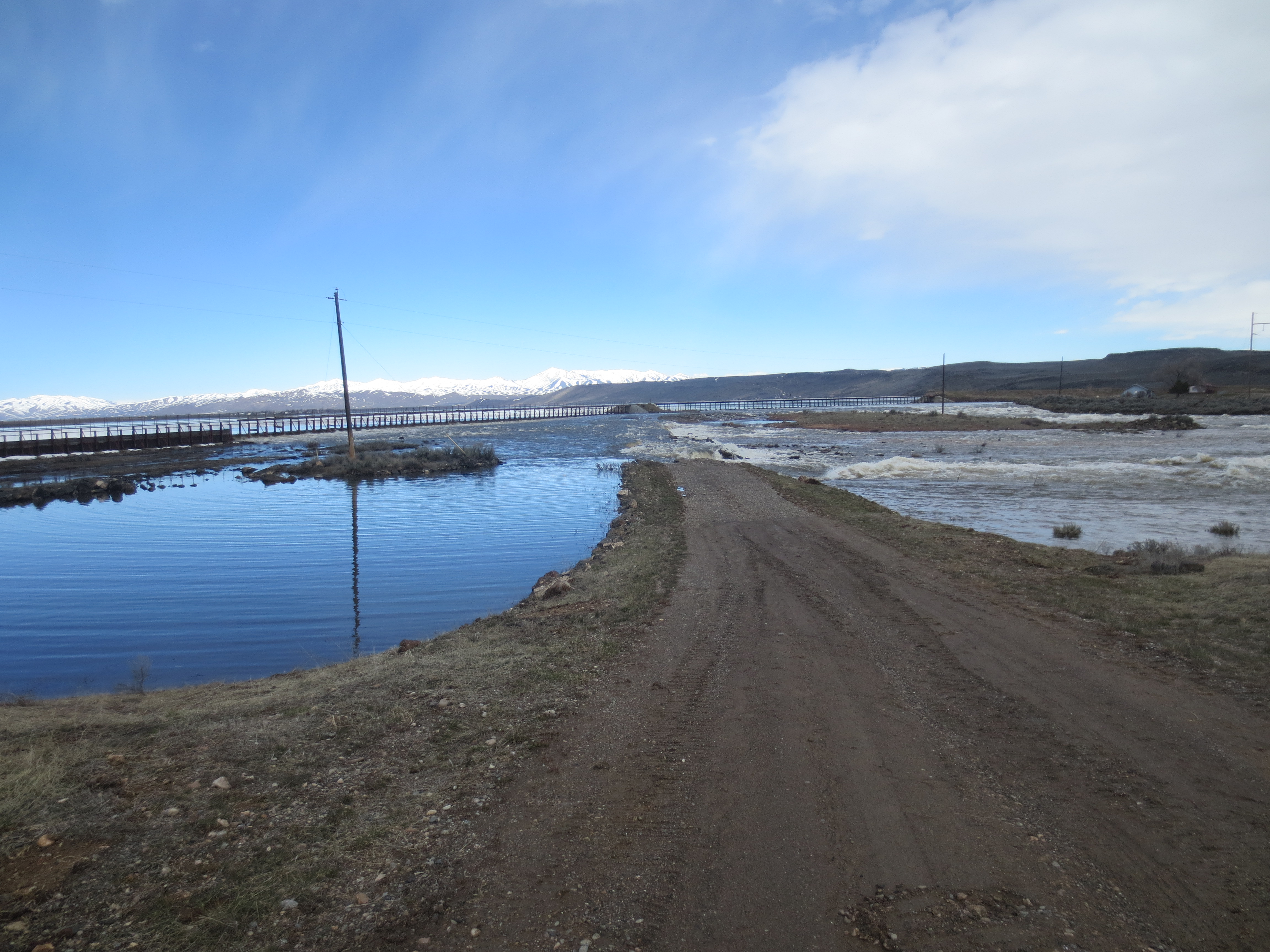
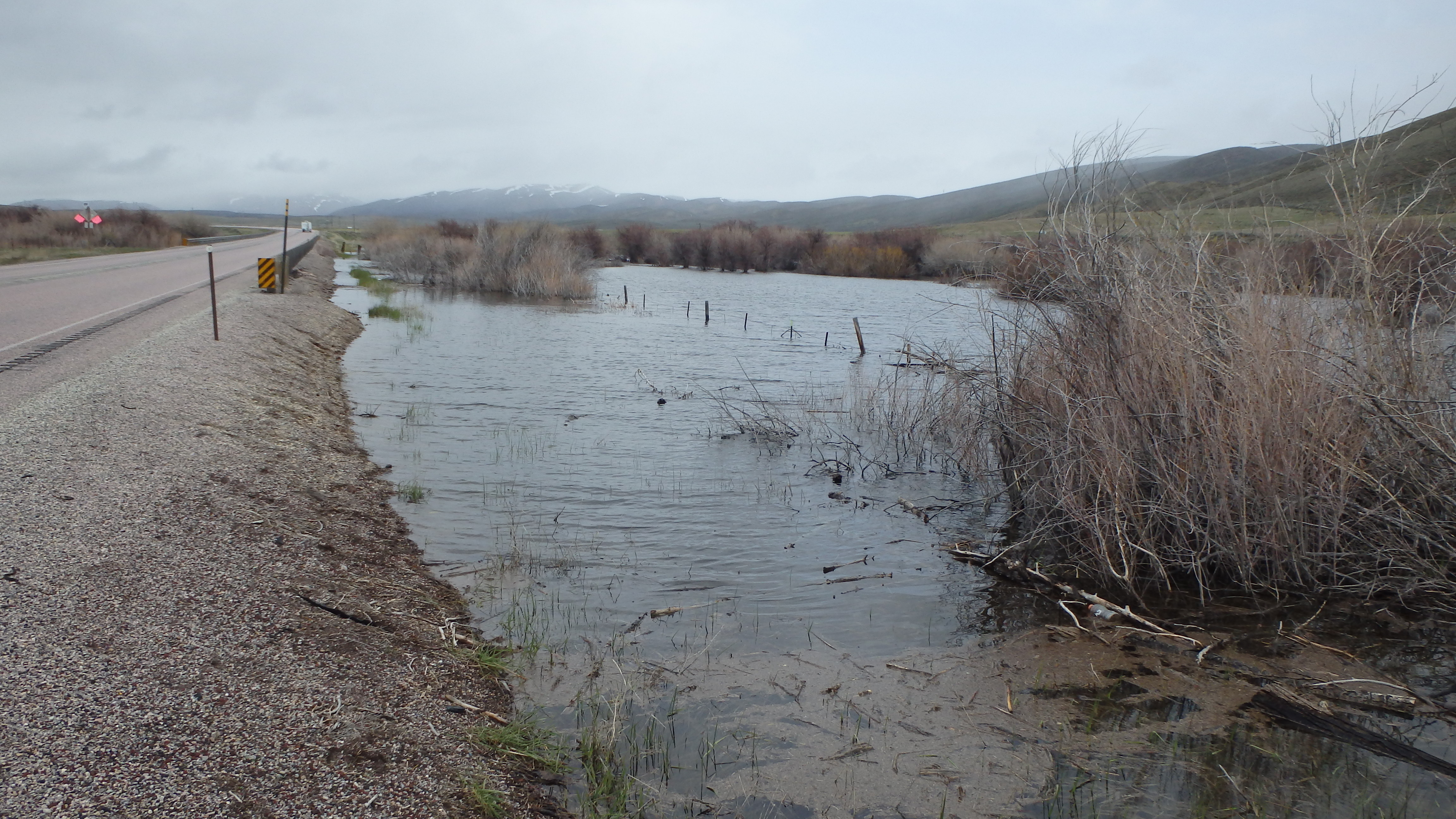
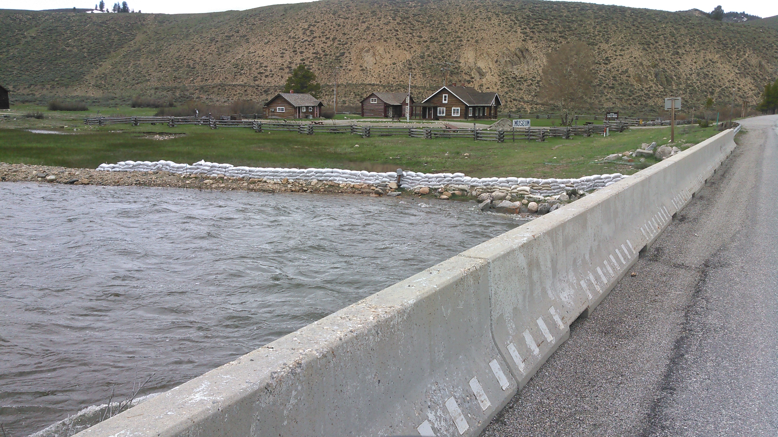
| I-86 was reopened a couple days later even though some water was still flowing over the highway. Traffic through the region was attempting to bypass the highway by taking local roads which were in many cases were compromised. Highway Patrol closely monitored this stretch, ensuring vehicles slowed down and did not have problems. |
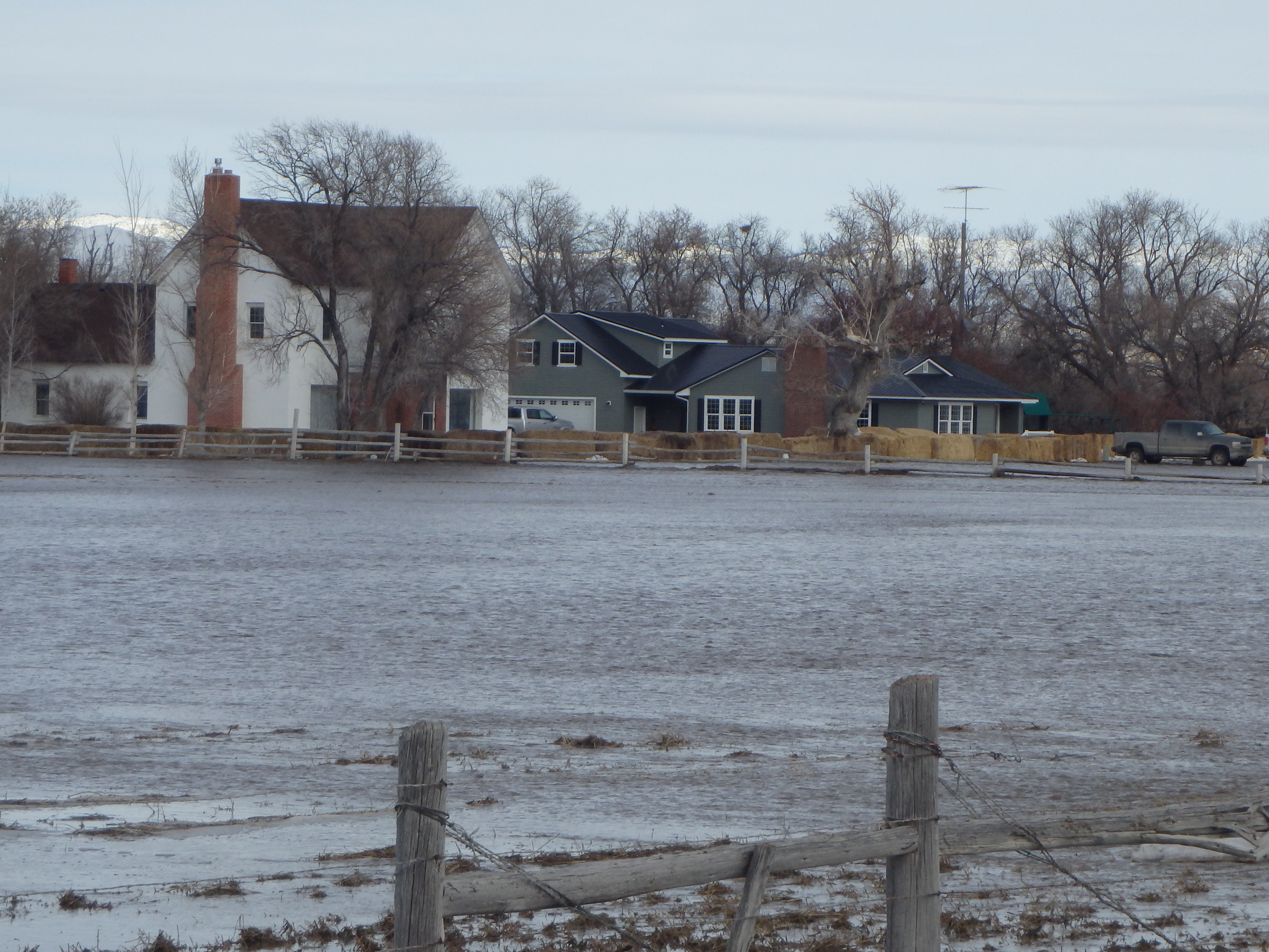
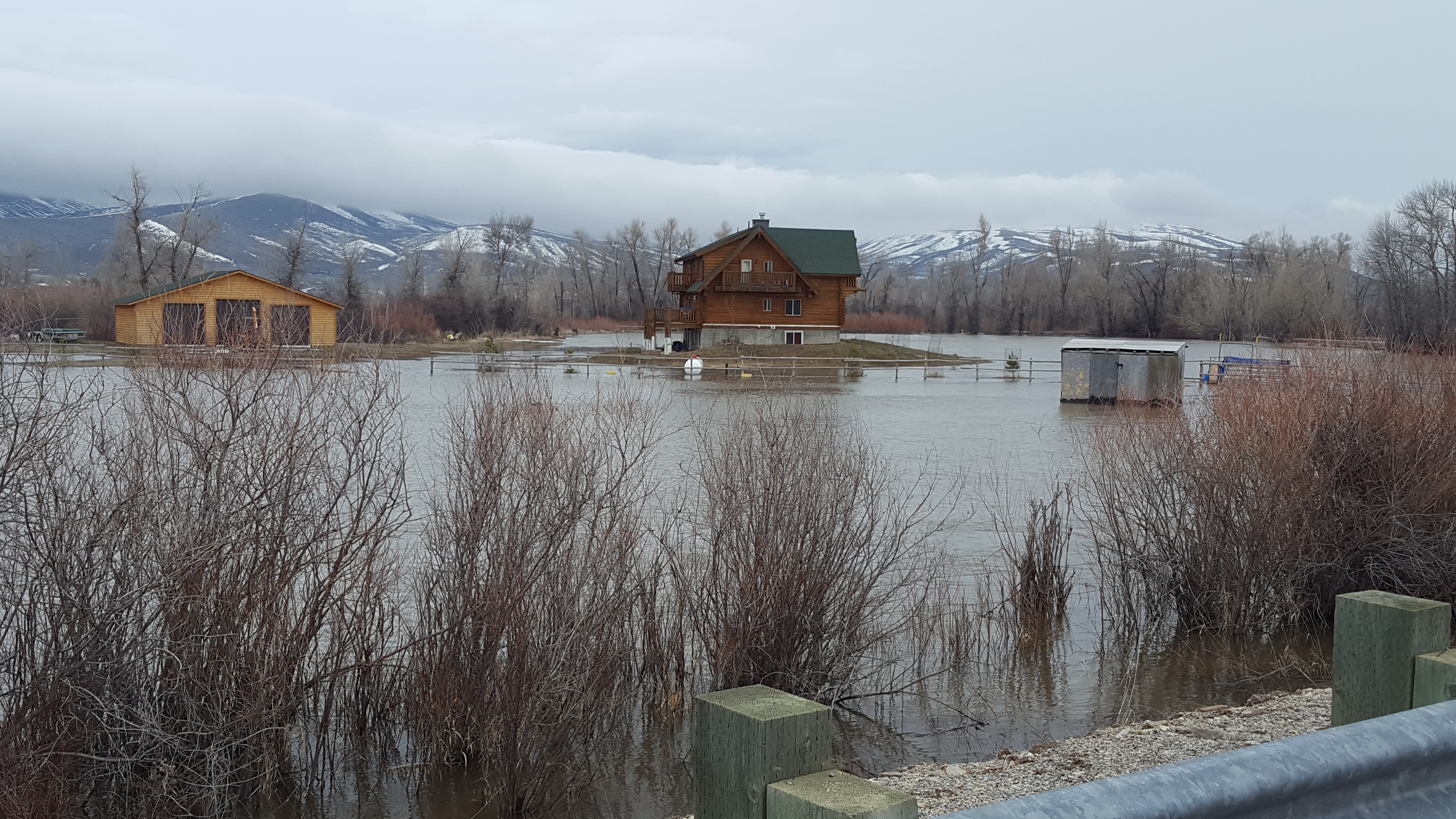
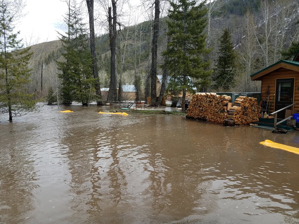
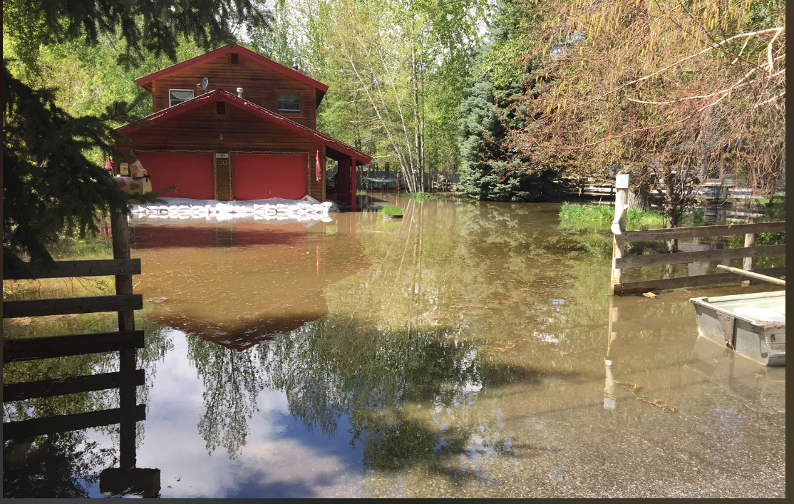
Homes in the Malta and Almo areas using haystacks to beat back flood waters. This picture was taken on February 8th. |
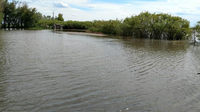
Flooding began to move further into east Idaho by the 9th. This photo shows the onset of sheet flooding near Ammon. Photo courtesy of East Idaho News. |
 |
 |
 |
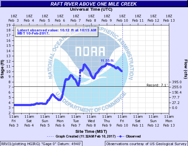
| Hydrograph of the Raft River showing record crest. |
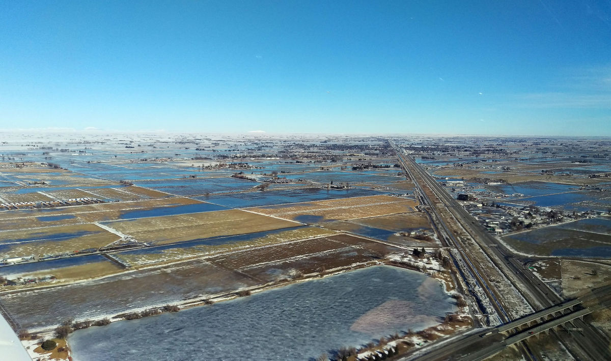
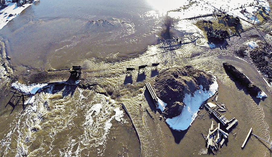
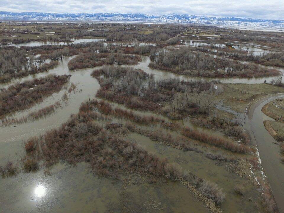
Aerial photo of Cassia County on February 10th. This pictures shows a portion of the sheet flooding in the Mini-Cassia region. Courtesy of KMVT. |
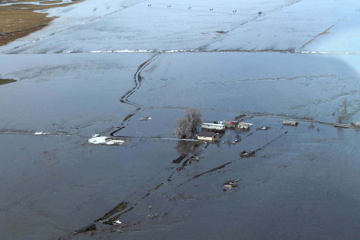
Aerial photo of home surrounded by sheet flooding in Cassia County on February 10th. Courtesy of KMVT. |
.jpg) |
.jpg) |
 |
| Preston business surrounded by sheet flooding around February 10th. Photo courtesy of Derrick Hughes via Idaho State Journal. |
Sheet flooding threatening business near Idaho Falls around February 10th. Photo courtesy of KIFI. |
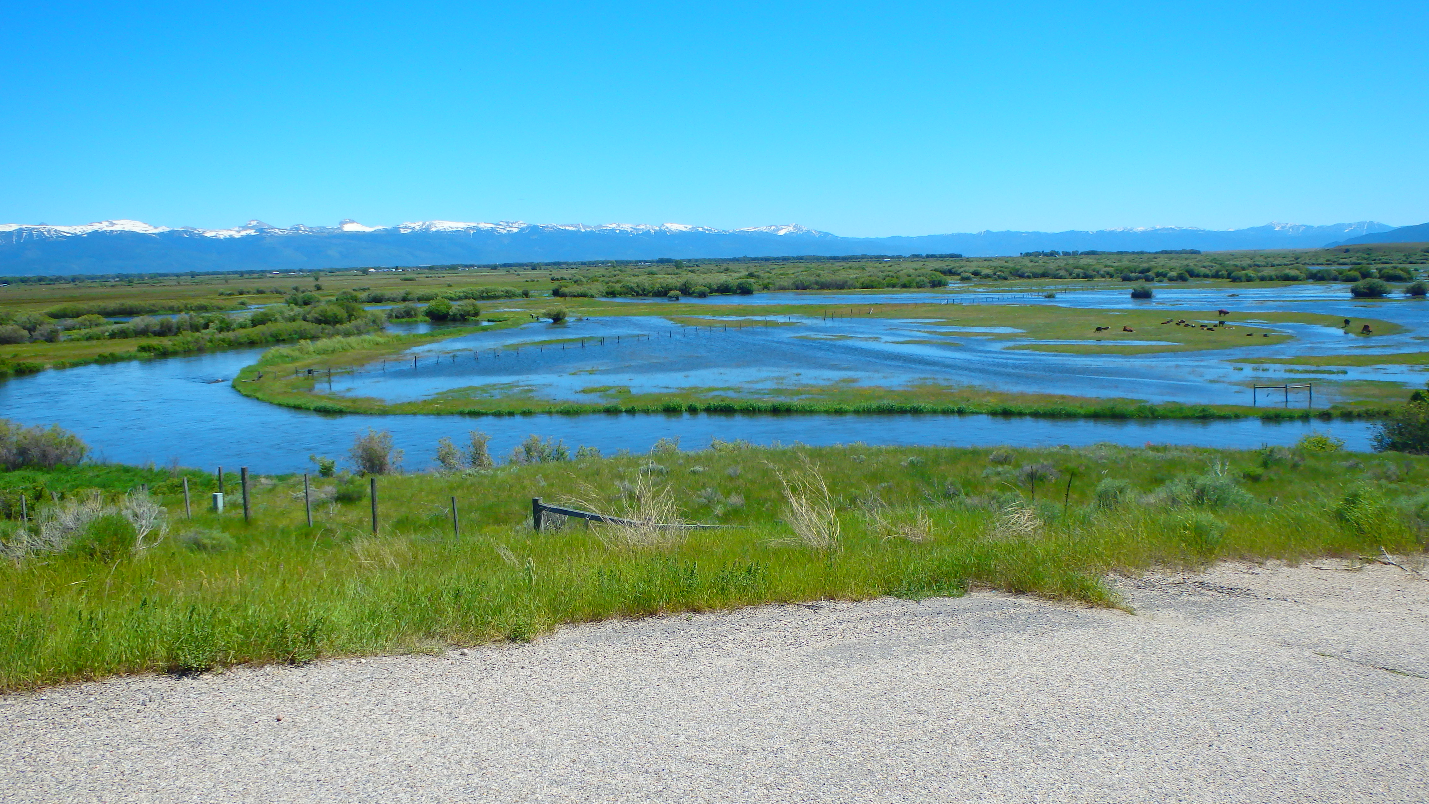
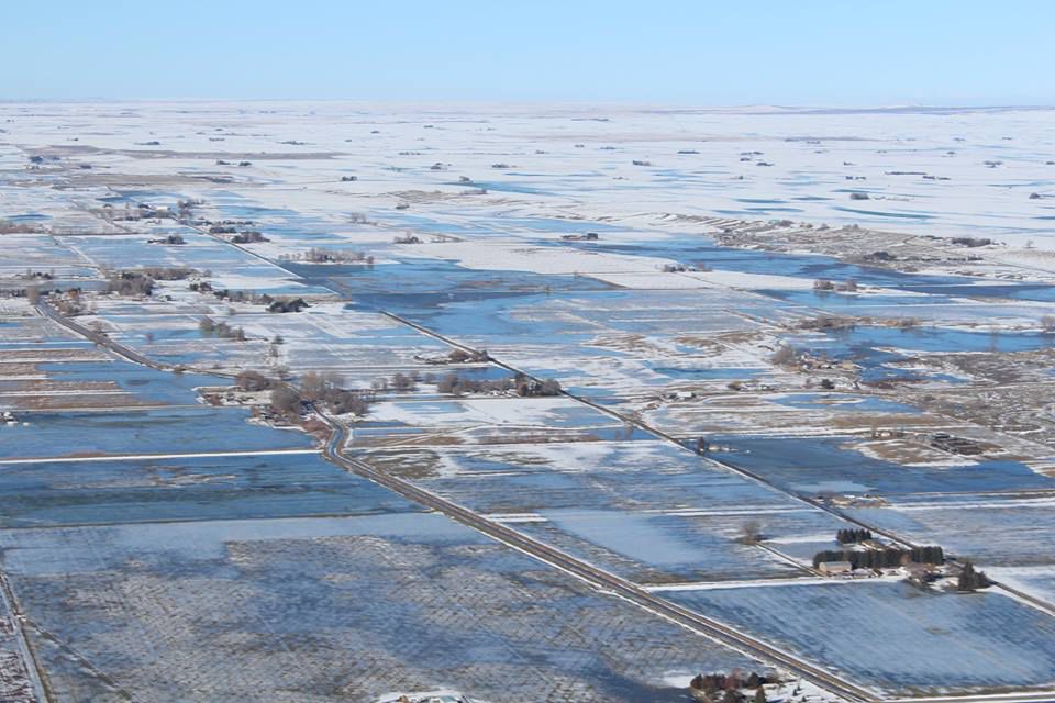
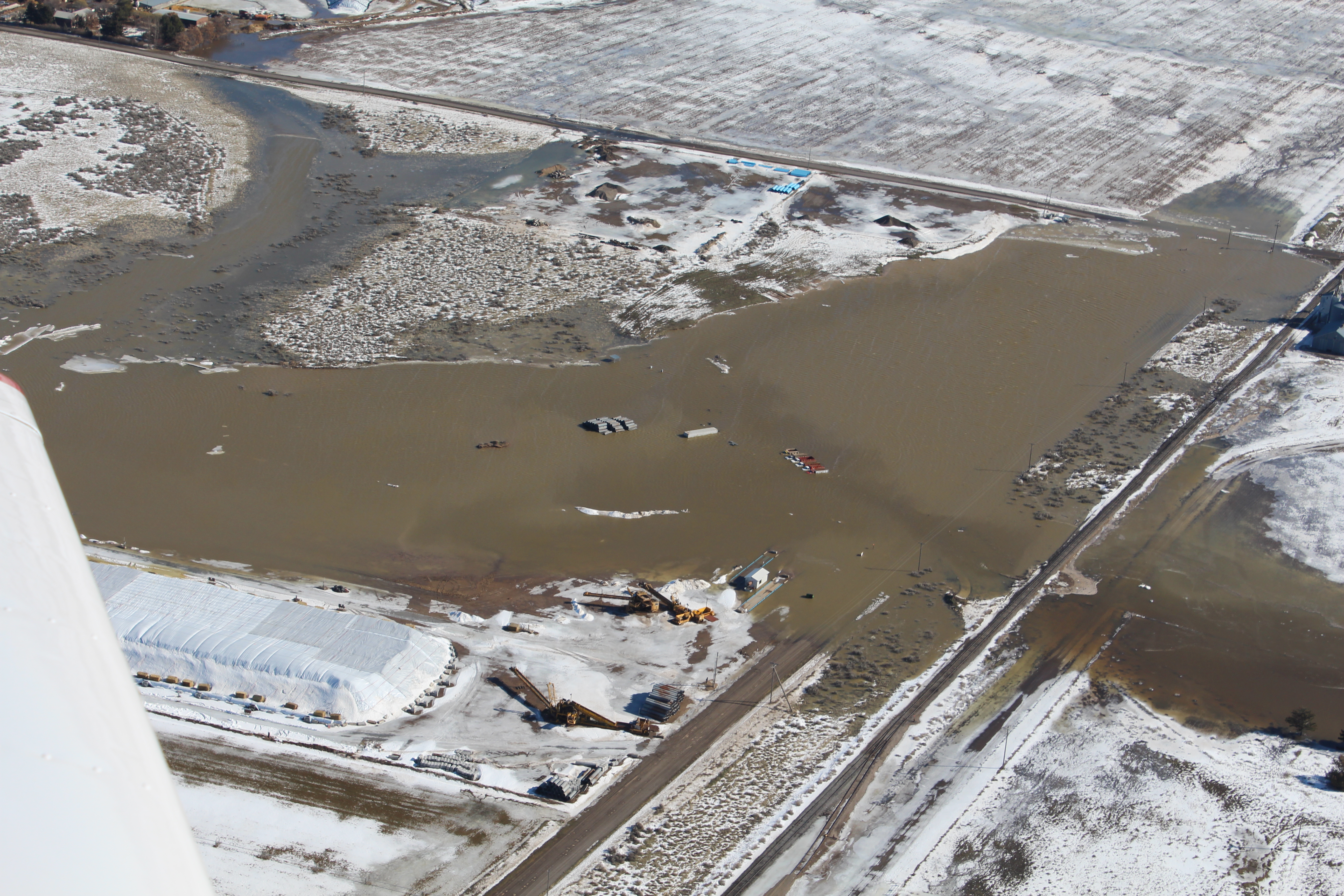
Aerial photo of Minidoka County looking north. In the foreground, sheet flooding is occurring. In the distance, heavy snowpack still to melt out. Generally, water ran from north to south. Photo courtesy of Kevin Gebhart via Times News |
 |
 |
 |
| .Marsh Creek south of Pocatello on February 14th. Photo courtesy of Jordan Beesley via Idaho State Journal. |
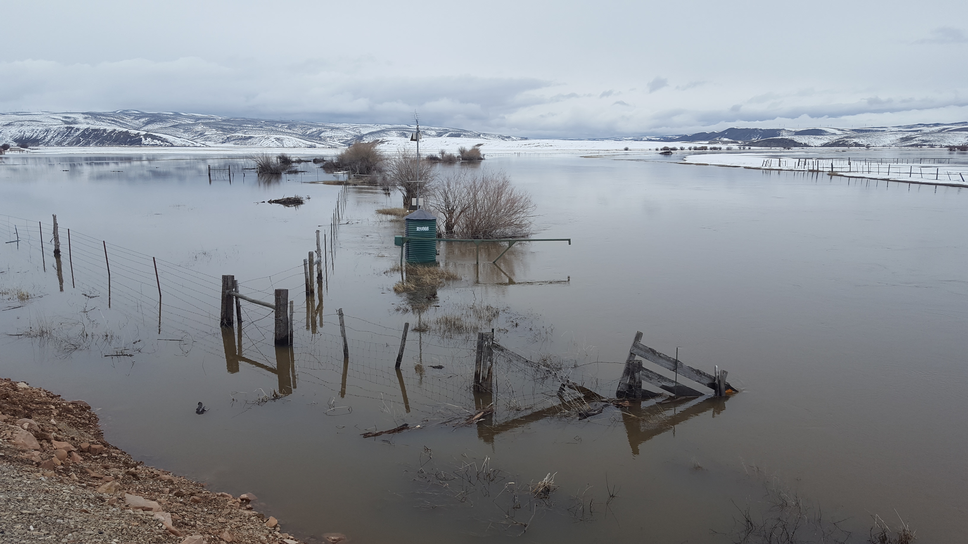
Minidoka County on February 14th. |
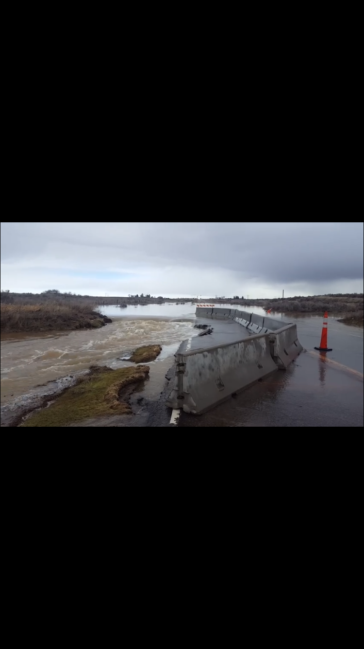
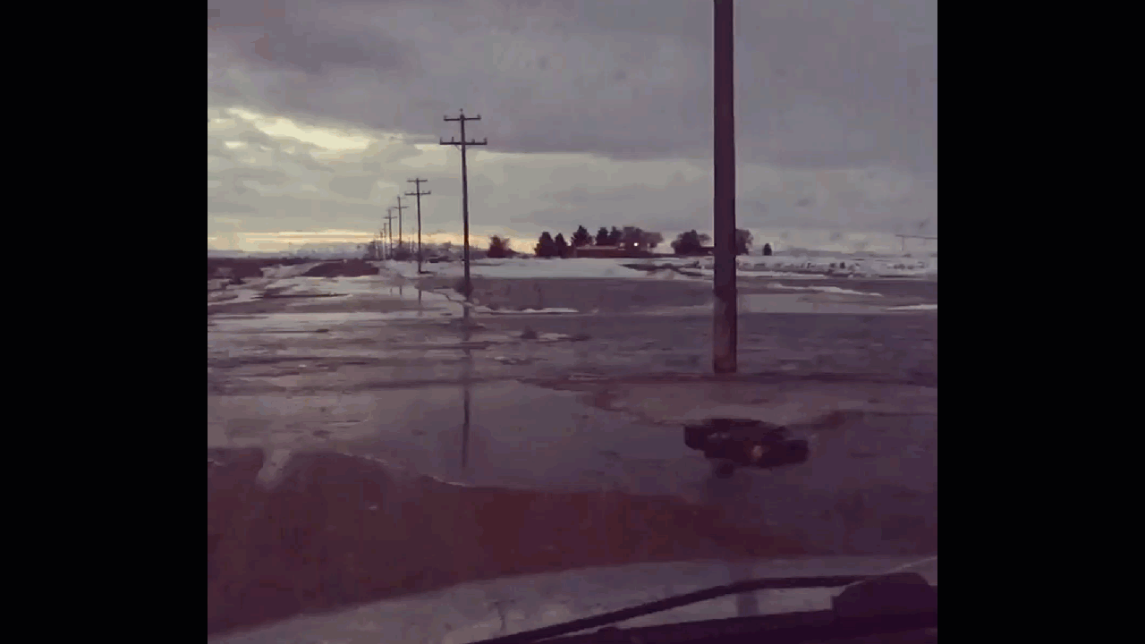
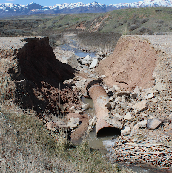
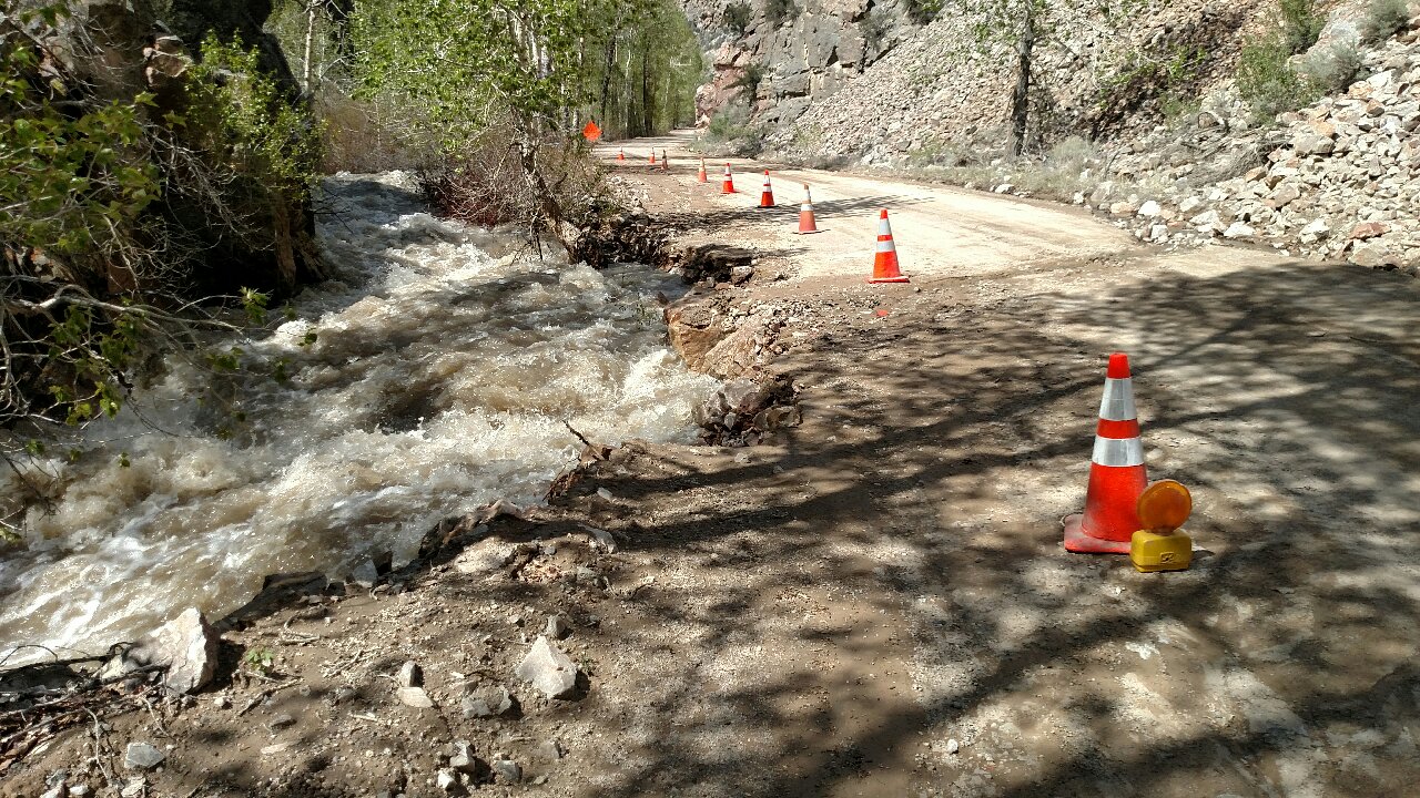
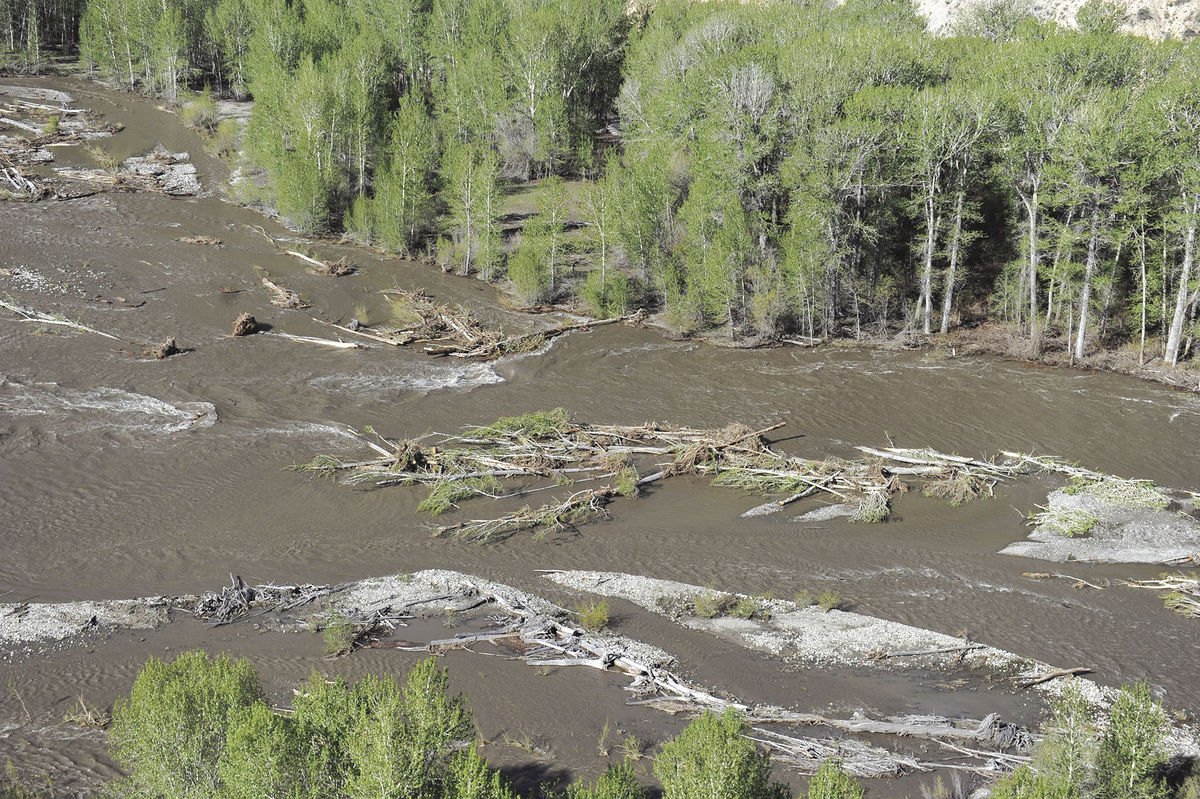
Washed out road in Minidoka County around February 19th. |
 |
 |
.JPG) |
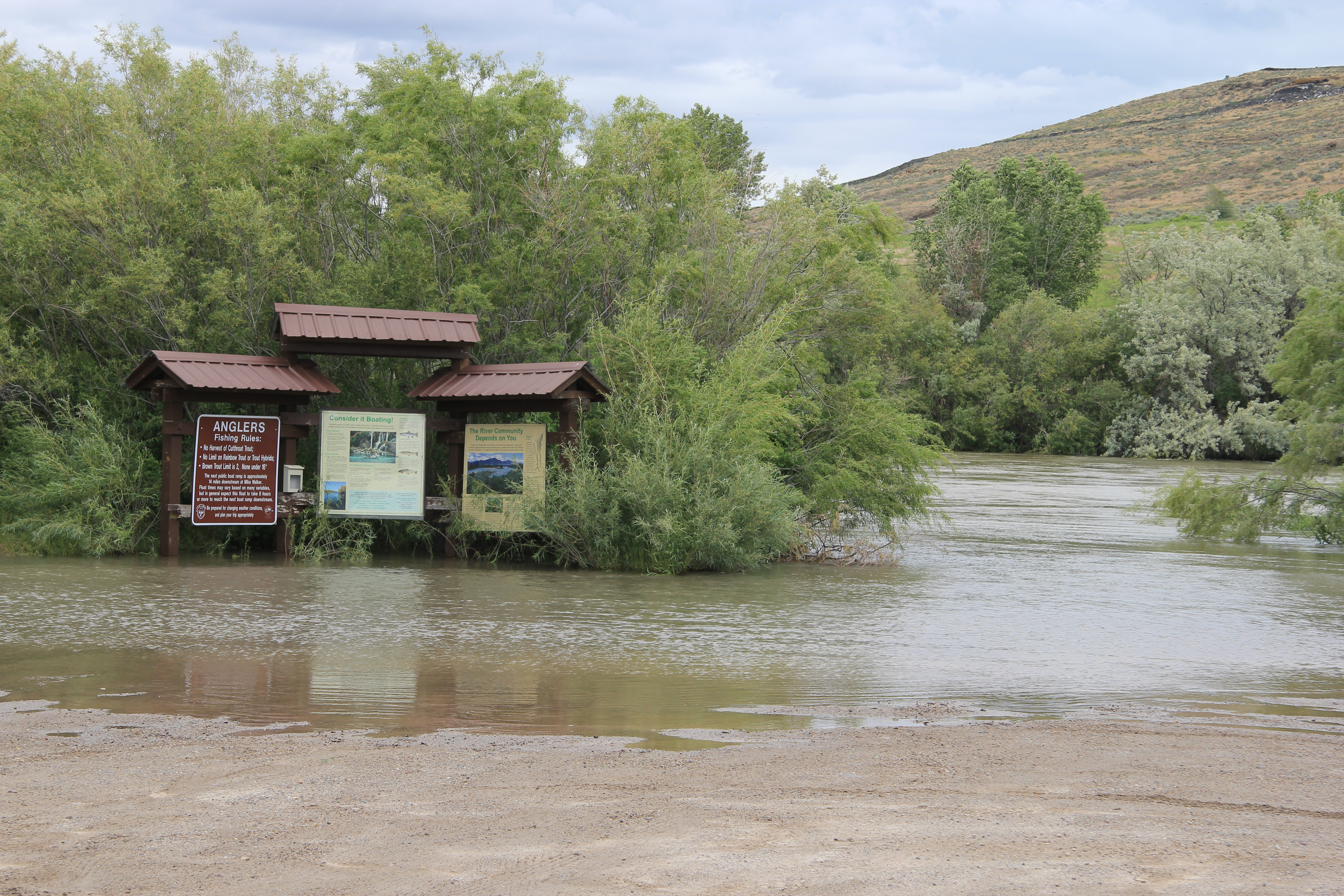
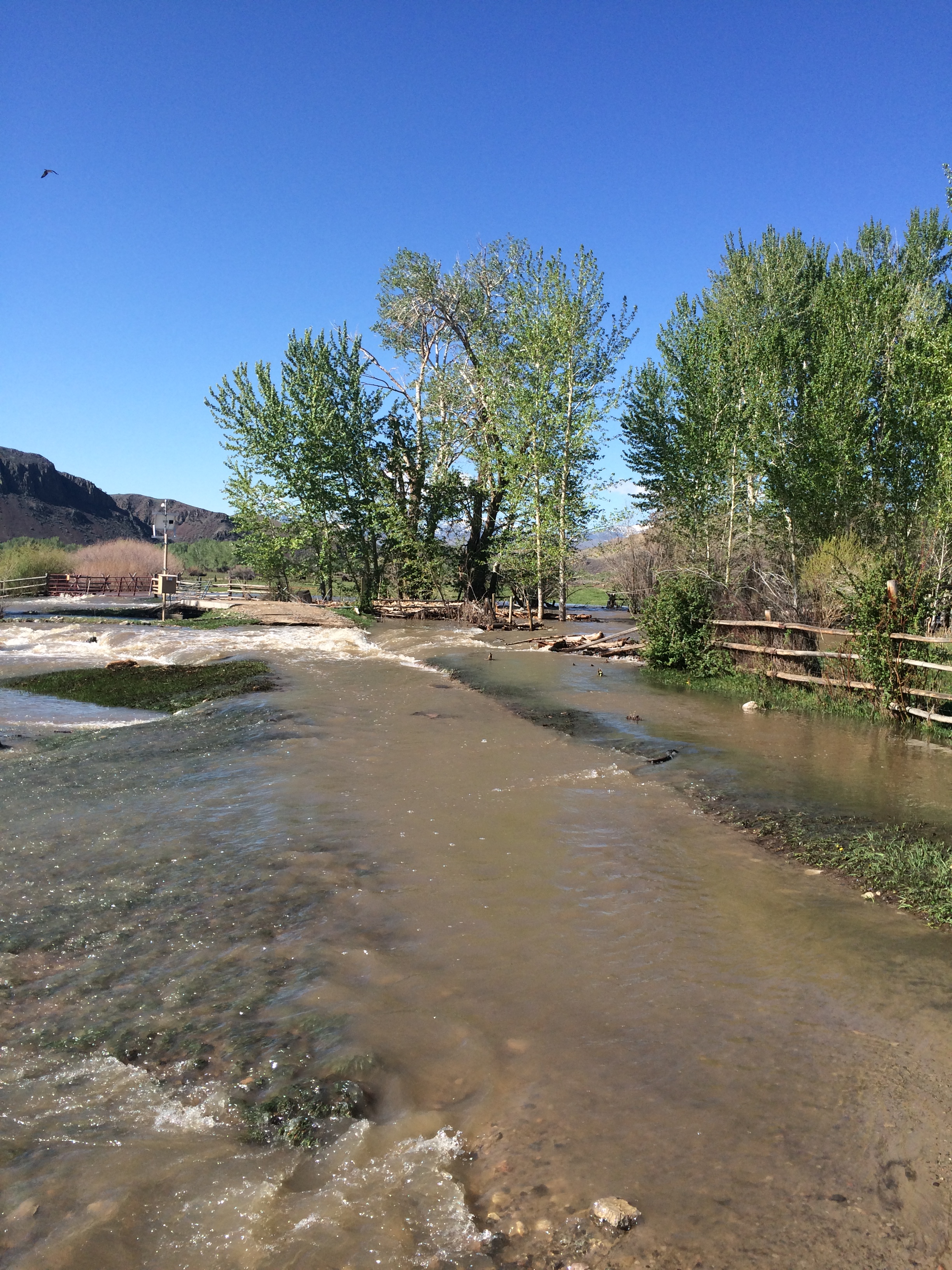
| Goose Creek area on February 21st. Photo courtesy of Capitol Press. |
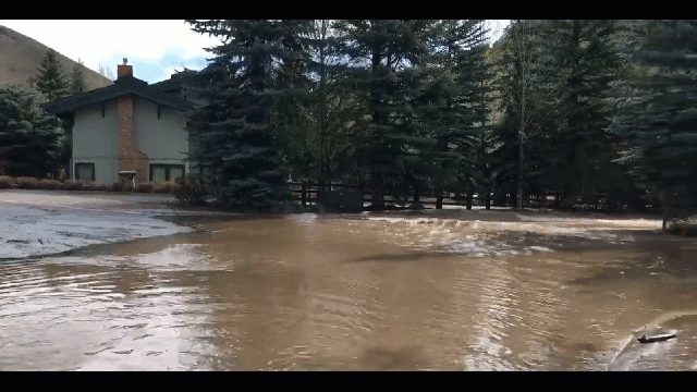
Blackfoot area on February 21st. Video by Shantel Morgan. |
Washed out road in Jefferson County around February 21st. Photo courtesy of Dave Walrath. |
 |
 |
 |
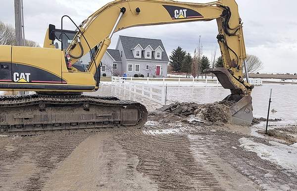
| Washed out road in Jefferson County on February 22nd. Photo courtesy of Rebecca Squires. |
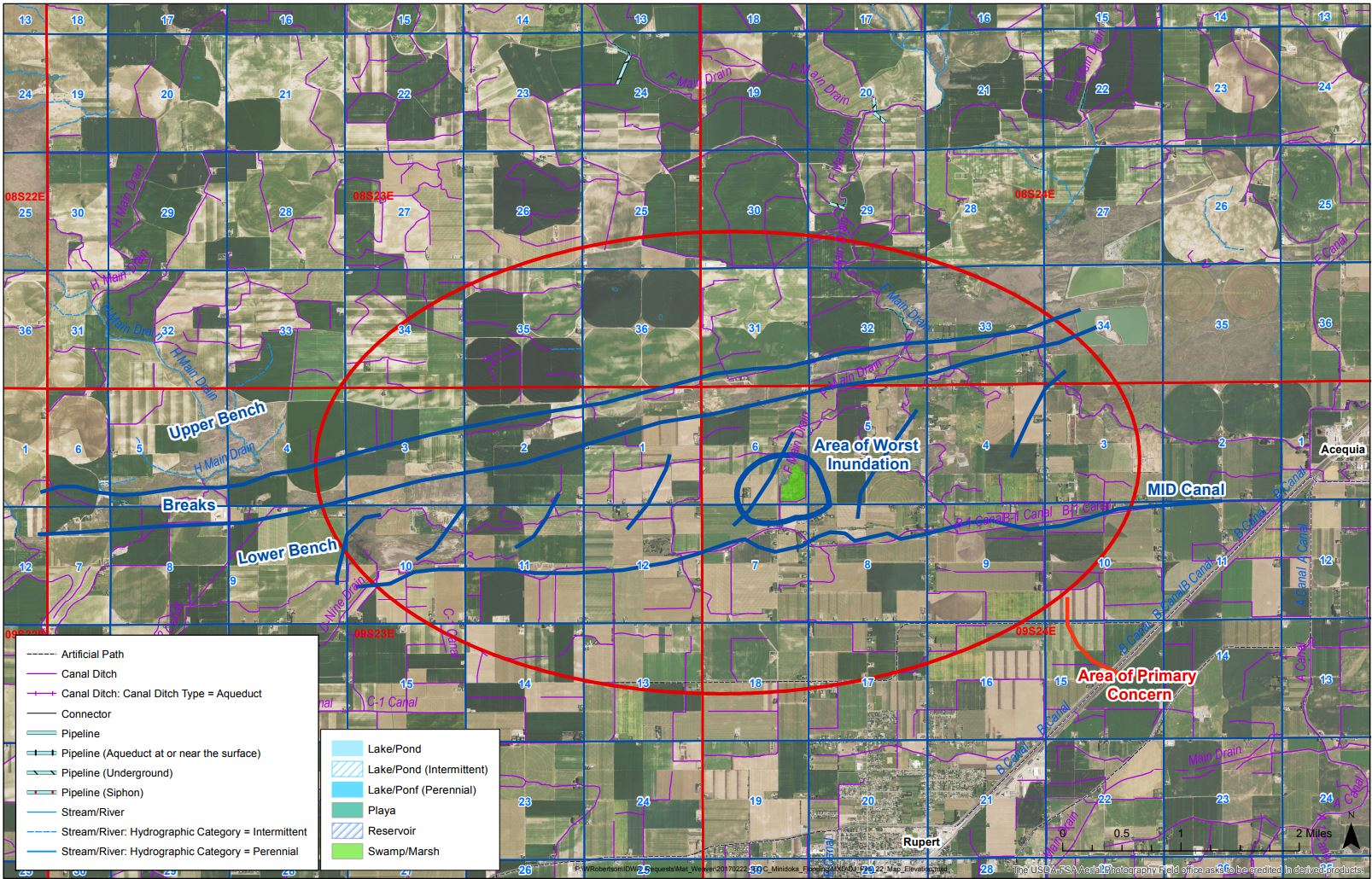
Map showing areas of concern north of Rupert on February 23rd. |
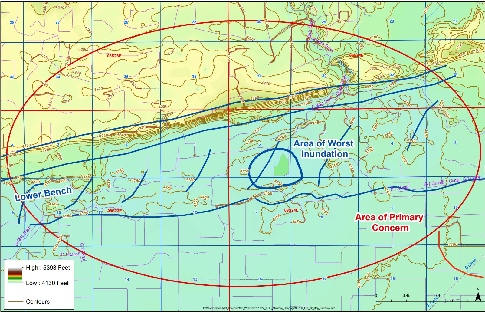
Topographical map showing areas of concern north of Rupert on February 23rd. The direction that snowmelt would flow was of great interest. |
.SW.141.1621.jpg) |
 |
 |
| Weather turned colder on February 23rd. Multiple slideoffs across central and east Idaho occurred. |
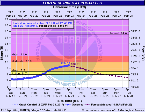
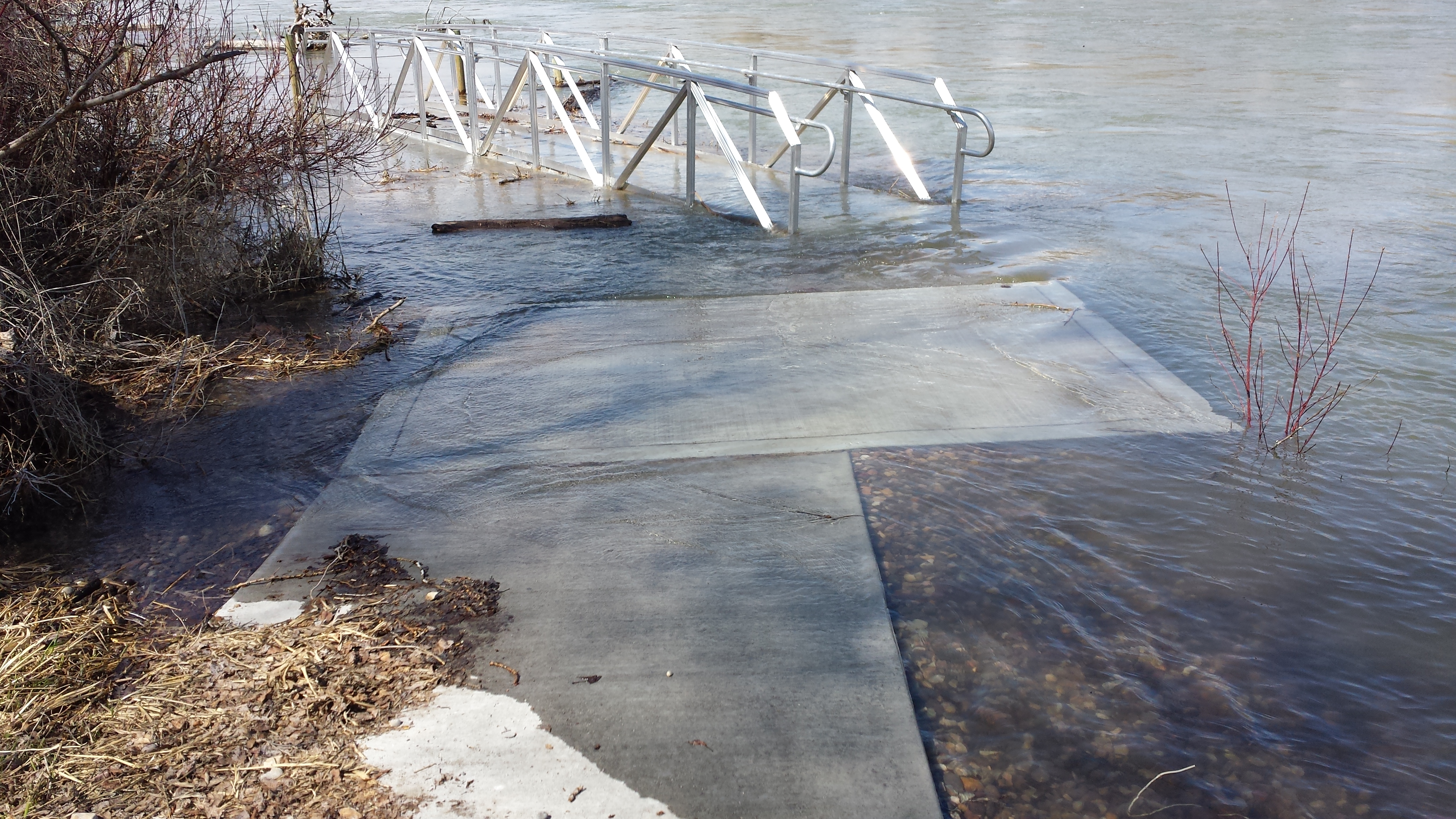
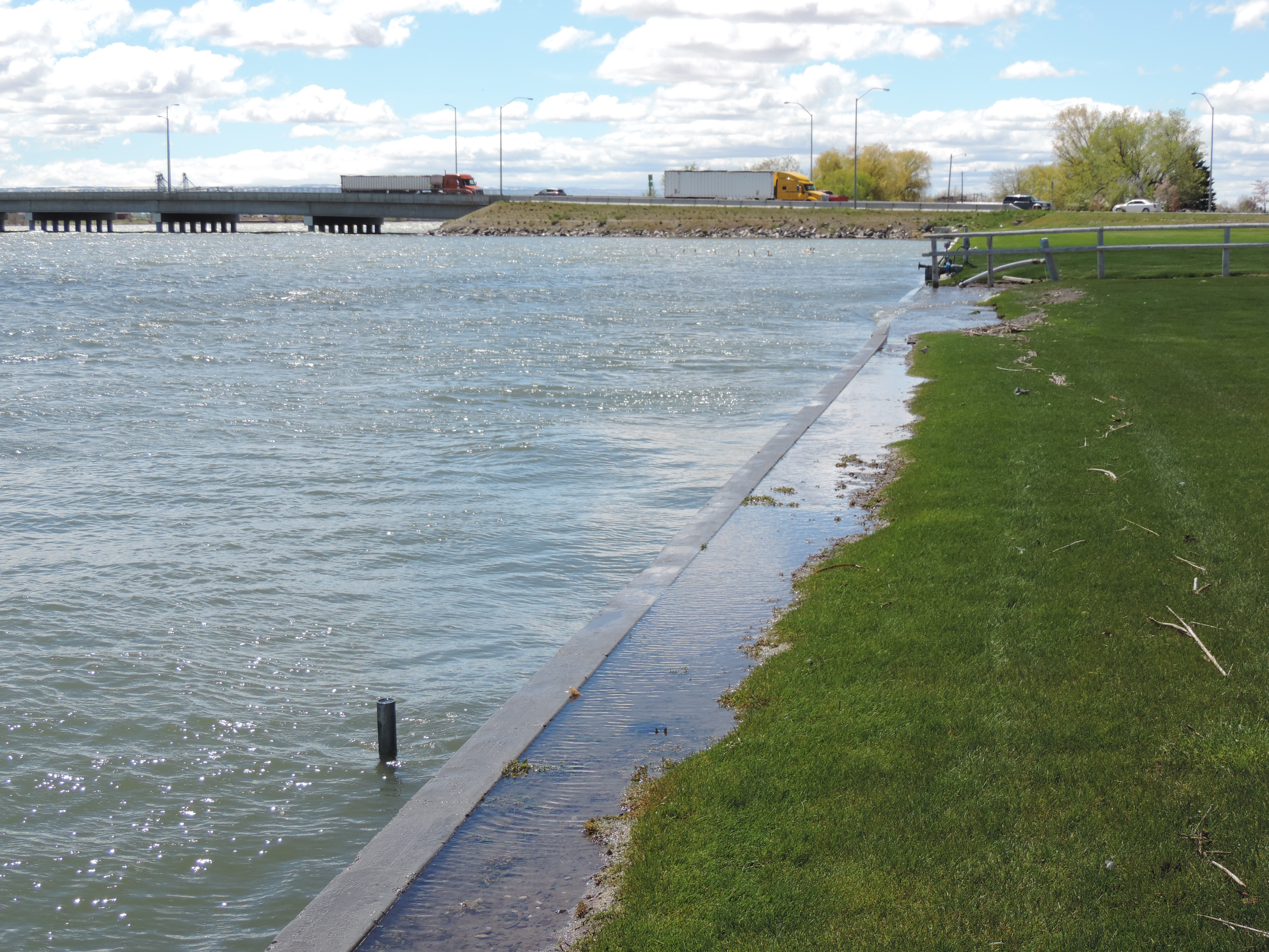
The colder air brought a cease fire to the snowmelt as seen in this hydrograph for the Portneuf River at Pocatello. |
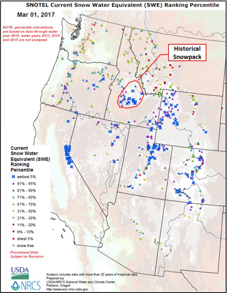
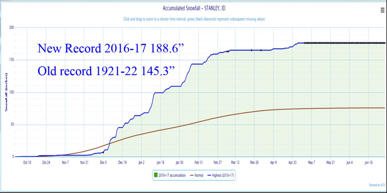
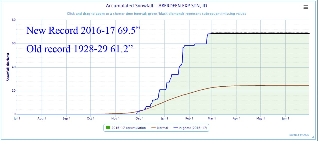
Damage estimates from the snow and flood across east Idaho topped $22 million dollars for just the month of February. One might think with all this flooding there should be a good dent in the snowpack. But, no. There's a LOT more to come. |
| |


.JPG)

.png)
.JPG)
.jpg)
.jpg)
.jpg)
.png)
.png)