Springfield, MO
Weather Forecast Office
 |
Severe Storms and Tornadoes - September 22nd, 2006National Weather Service, Springfield, MO |
 |
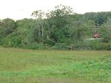
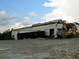
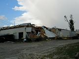
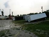
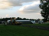
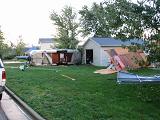
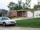
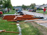
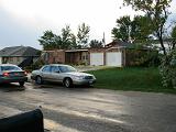
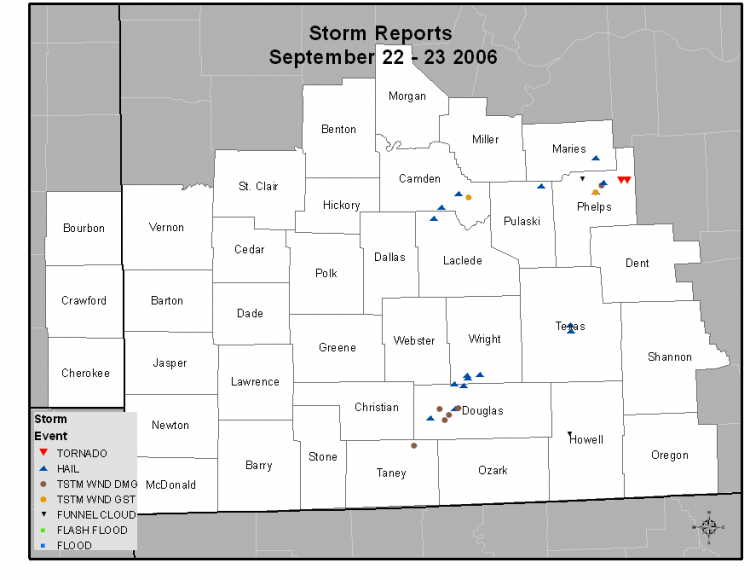
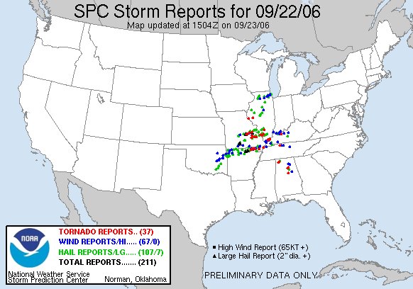
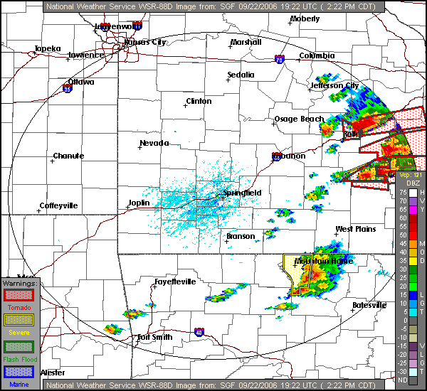
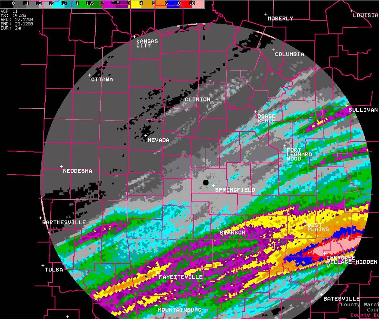
An unusually powerful storm system affected much of the central U.S. bringing an out of season and rare September outbreak of severe thunderstorms and tornadoes to portions of Missiouri, Illinois, Arkansas and Kentucky. Supercell thunderstorms developed early Friday afternoon over portions of the Missouri and northern Arkansas, moving quickly eastward across the mid Mississippi valley leaving paths of damage, and in some cases destruction, in their wake as they spawned numerous tornadoes. In the National Weather Service Springfield area of responsibility one tornado touched down producing F1 intensity damage in the town of St. James in northeastern Phelps County.
Here are some damage photos taken by the National Weather Service while surveying the tornado damage in St. James...
 |
 |
 |
 |
 |
 |
 |
 |
 |
 |
 |
 |
.gif ) |
| Large view of track of the torando | Closer view of tornado track |
Current Hazards
Experimental Graphical Hazardous Weather Outlook
Submit a storm report
Local Storm Reports
Current Conditions
Observations
Lake Levels
Snowfall Analysis
Road Conditions
Satellite
CoCoRaHS
Graphical Conditions
Precip. Analysis
Forecasts
Forecast Discussion
Fire Weather
Aviation
GIS Forecast Maps
Activity Planner
Severe Weather
Winter Weather
Hurricanes
FAA Center Weather
Space Weather
Climatology
Records and Normals
Monthly Climate Summary
Local
National
Drought
Climate Science
Astronomical Data
US Dept of Commerce
National Oceanic and Atmospheric Administration
National Weather Service
Springfield, MO
Springfield-Branson National Airport
5805 West Highway EE
Springfield, MO 65802-8430
Business: 417-863-8028 Recording: 417-869-4491
Comments? Questions? Please Contact Us.


 Weather Story
 Weather Map
 Local Radar