Springfield, MO
Weather Forecast Office
 |
Snowfall - March 24th, 2013National Weather Service, Springfield, MO |
 |
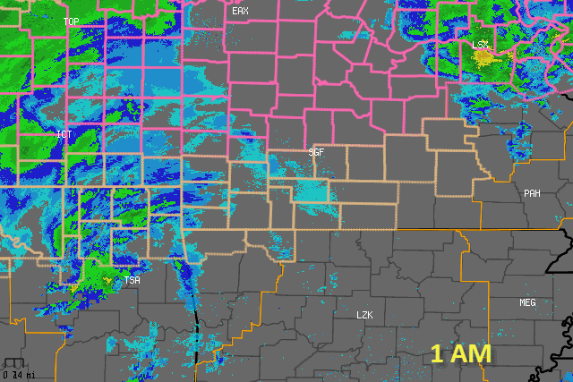
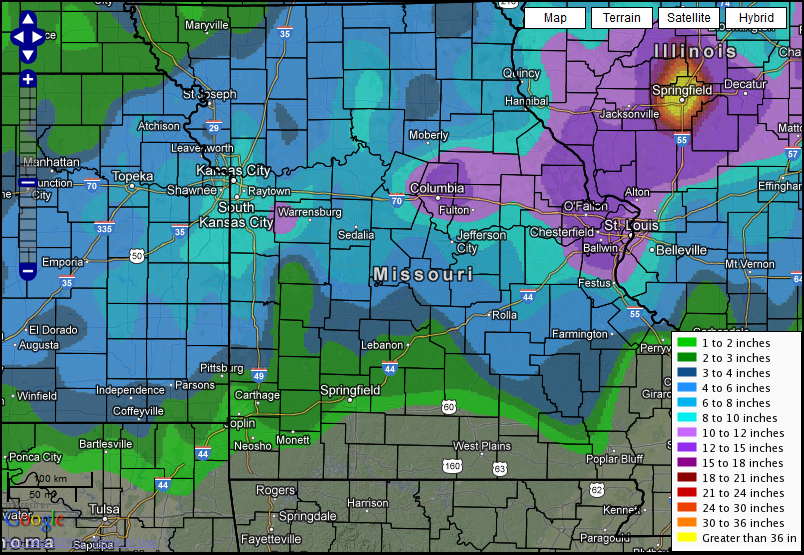
A strong upper level storm system pushed across the Missouri Ozarks and southeast Kansas in the early morning hours on March 24th through much of the day. A surface low associated with this system lifted north from the Gulf coast into the Ohio Valley. Rain early in the event changed over to all snow as colder air began to sweep into the area from the northwest. The heaviest snow occurred over a part of extreme southeast Kansas into west central and central Missouri where 5 to 7 inches of snow occurred. Snow amounts diminished rather quickly further to the south where a trace to generally 3 inches of snow occurred. Snow amounts were somewhat limited by the higher angle of the sun in late March.
Current Hazards
Experimental Graphical Hazardous Weather Outlook
Submit a storm report
Local Storm Reports
Current Conditions
Observations
Lake Levels
Snowfall Analysis
Road Conditions
Satellite
CoCoRaHS
Graphical Conditions
Precip. Analysis
Forecasts
Forecast Discussion
Fire Weather
Aviation
GIS Forecast Maps
Activity Planner
Severe Weather
Winter Weather
Hurricanes
FAA Center Weather
Space Weather
Climatology
Records and Normals
Monthly Climate Summary
Local
National
Drought
Climate Science
Astronomical Data
US Dept of Commerce
National Oceanic and Atmospheric Administration
National Weather Service
Springfield, MO
Springfield-Branson National Airport
5805 West Highway EE
Springfield, MO 65802-8430
Business: 417-863-8028 Recording: 417-869-4491
Comments? Questions? Please Contact Us.


 Weather Story
 Weather Map
 Local Radar