Overview
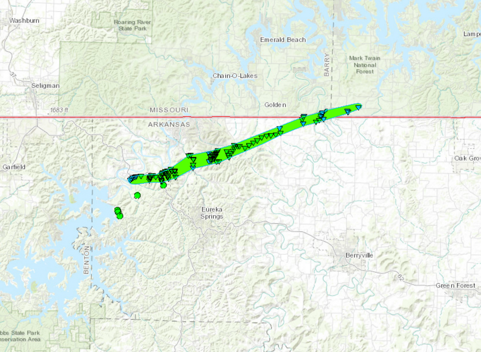
| A line of strong to severe thunderstorms moved from eastern Oklahoma and into northwest Arkansas and southwest Missouri during the late evening hours of April 25, 2017. Shortly after 1 AM CDT on April 26, the line of storms developed a bowing segment as it was approaching the Arkansas/Missouri state line. An embedded circulation produced an EF-1 tornado that tracked to the northeast from near Beaver, AR to Golden, MO. The tornado produced a lot of tree damage along it's roughly 16 mile path across the state line. No injuries or fatalities were observed with this tornado. | 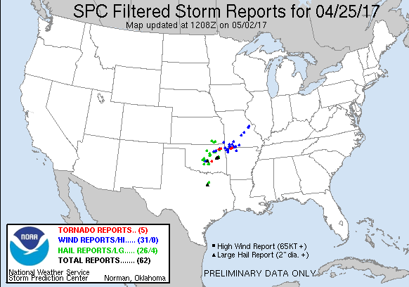 Storm Reports for April 25th, 2017 |
Tornadoes:
|
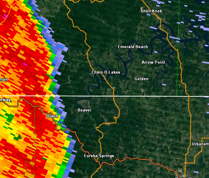
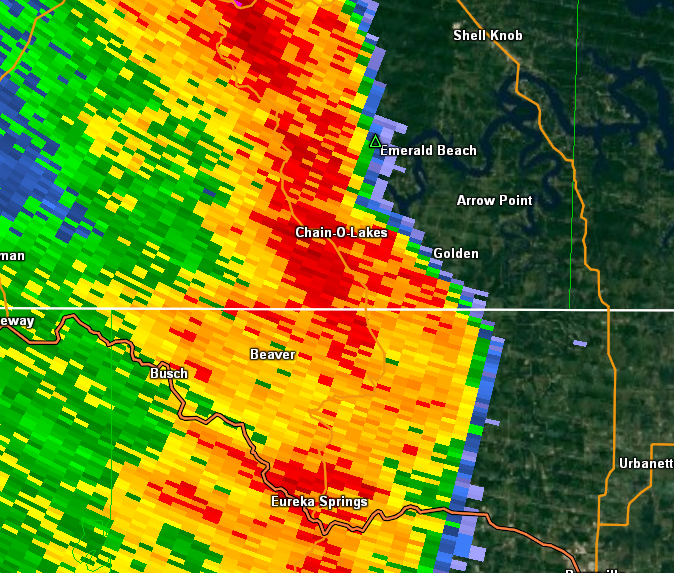
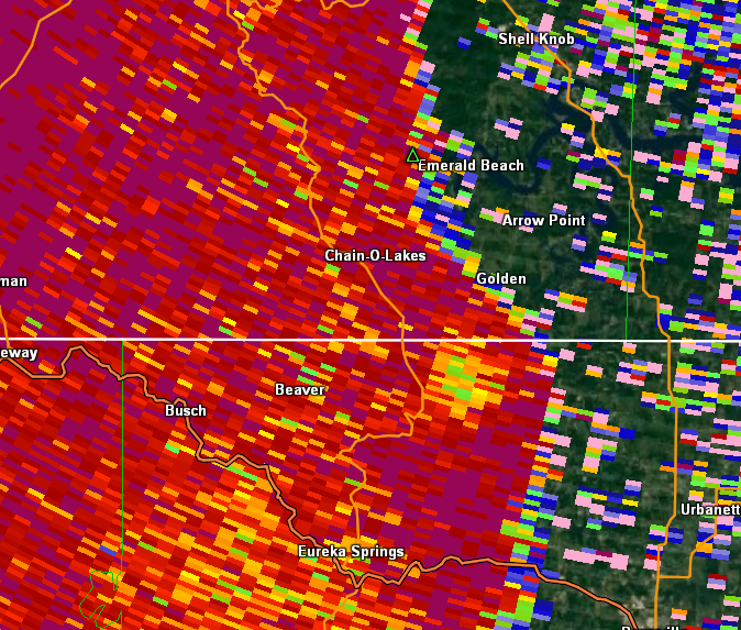
Tornado - Golden, MO - Beaver, AR
Track Map
|
||||||||||||||||
The Enhanced Fujita (EF) Scale classifies tornadoes into the following categories:
| EF0 Weak 65-85 mph |
EF1 Moderate 86-110 mph |
EF2 Significant 111-135 mph |
EF3 Severe 136-165 mph |
EF4 Extreme 166-200 mph |
EF5 Catastrophic 200+ mph |
 |
|||||
Radar:
0.5 Degree Reflectivity Loop Between 1-2 AM CDT
Showing the Line of Storms that Produced the Tornado
 |
 |
||
| Golden Tornado - 0.5 Reflectivity at 1:31 AM CDT | Golden Tornado - 0.5 CC at 1:31 AM CDT |
 |
Media use of NWS Web News Stories is encouraged! Please acknowledge the NWS as the source of any news information accessed from this site. |
|


 Weather Story
 Weather Map
 Local Radar