Overview
|
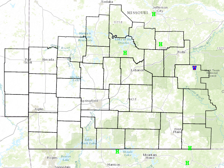
An environment of very strong shear and low instability led to some strong to severe storms out ahead of a very strong upper level low pressure system which was out in the plains. One storm produced a brief tornado in northeast Dent county and a few hail reports were received. |
 Storm Reports - March 29th, 2017 |
Tornadoes:
|
|
||||||||||
|
||||||||||
|
Tornado - 9 NE Salem
Track Map 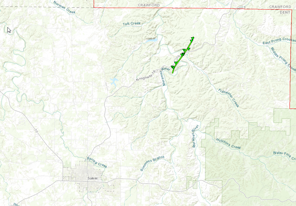 
Downloadable KMZ File |
||||||||||||||||
The Enhanced Fujita (EF) Scale classifies tornadoes into the following categories:
| EF0 Weak 65-85 mph |
EF1 Moderate 86-110 mph |
EF2 Significant 111-135 mph |
EF3 Severe 136-165 mph |
EF4 Extreme 166-200 mph |
EF5 Catastrophic 200+ mph |
 |
|||||
Radar:

 |
Media use of NWS Web News Stories is encouraged! Please acknowledge the NWS as the source of any news information accessed from this site. |
|


 Weather Story
 Weather Map
 Local Radar