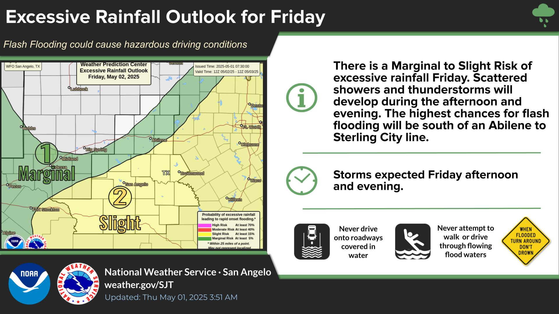
Scattered thunderstorms will develop and move into the aera south of a Sterling City to San Angelo to Junction line through the early morning hours. A few storms may produce very large hail damaging winds, and perhaps a few tornadoes.
Scattered thunderstorms are expected this afternoon, with second complex of stronger storms moving from west to east across the region, between midnight and 9 AM Tuesday. These storms could result in flooding across parts of the area.
Precipitation chances in the form of rain showers and thunderstorms, some possibly severe, increase greatly today. Showers and thunderstorms move east by noon Tuesday.


 Virtual Tour
 Current Observations
 Weather Briefing
 Satellite Loops
 Past Weather Reports
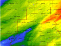 Past Rainfall Maps
 Drought Information
 River & Lake Levels
 Fire Weather
 Aviation Weather
 Additional Resources
 Social Media