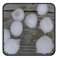
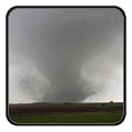
National Weather Service United States Department of Commerce

Major Winter Storm to Impact the Mid-Atlantic and Northeast; Inclement Weather in the Pacific Northwest

A major winter storm is expected to bring heavy snow, strong winds, and coastal flooding across the Mid-Atlantic and Northeast that may cause impossible travel conditions and power outages. Blizzard conditions are possible along coastal areas from the DelMarVa Peninsula through southeastern New England. Wet weather and strong winds return to the Pacific Northwest and north-central California. Read More >

Click a location below for detailed forecast.

Last Map Update: Mon, Feb 23, 2026 at 3:02:28 am CST

Temperatures will remain cool across our area today with afternoon highs in the mid 50s to lower 60s. Many locations across the northern half of the forecast area could see lows fall near or below the freezing mark once again tonight. Mostly clear skies and dry conditions continue through tonight.
This week is shaping up to be an unseasonably warm week. To start the week, cool temperatures are expected to continue on Monday. Temperatures then warm well above normal the rest of the week, despite a cold front on Thursday. Breezy conditions are expected Tuesday and Wednesday, with increased fire weather potential. Dry conditions persist through the end of the week.

Text Product Selector (Selected product opens in current window)
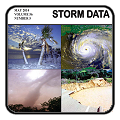
Submit Storm Report Spotter Briefing Skywarn Storm Data Tornado Statistics Social Media
Storm Reports Spotter Briefing Storm Spotters Storm Data Tornado Statistics Social Media
 
Area Forecast Discussion Hourly Forecast Graphs Digital Forecasts Fire Weather Aviation Hydrology
Forecast Discussion Hourly Forecast Graphical Forecast Fire Weather Aviation Hydrology
 
Observations Air Quality Satellite Climate Past Events weather Radio
Observations Air Quality Satellite Climate Past Events Weather Radio