Strong to severe storms will develop this evening to the north of West Central Texas. Some of these storms could move into northern portions of the Big Country during the early morning hours Sunday.
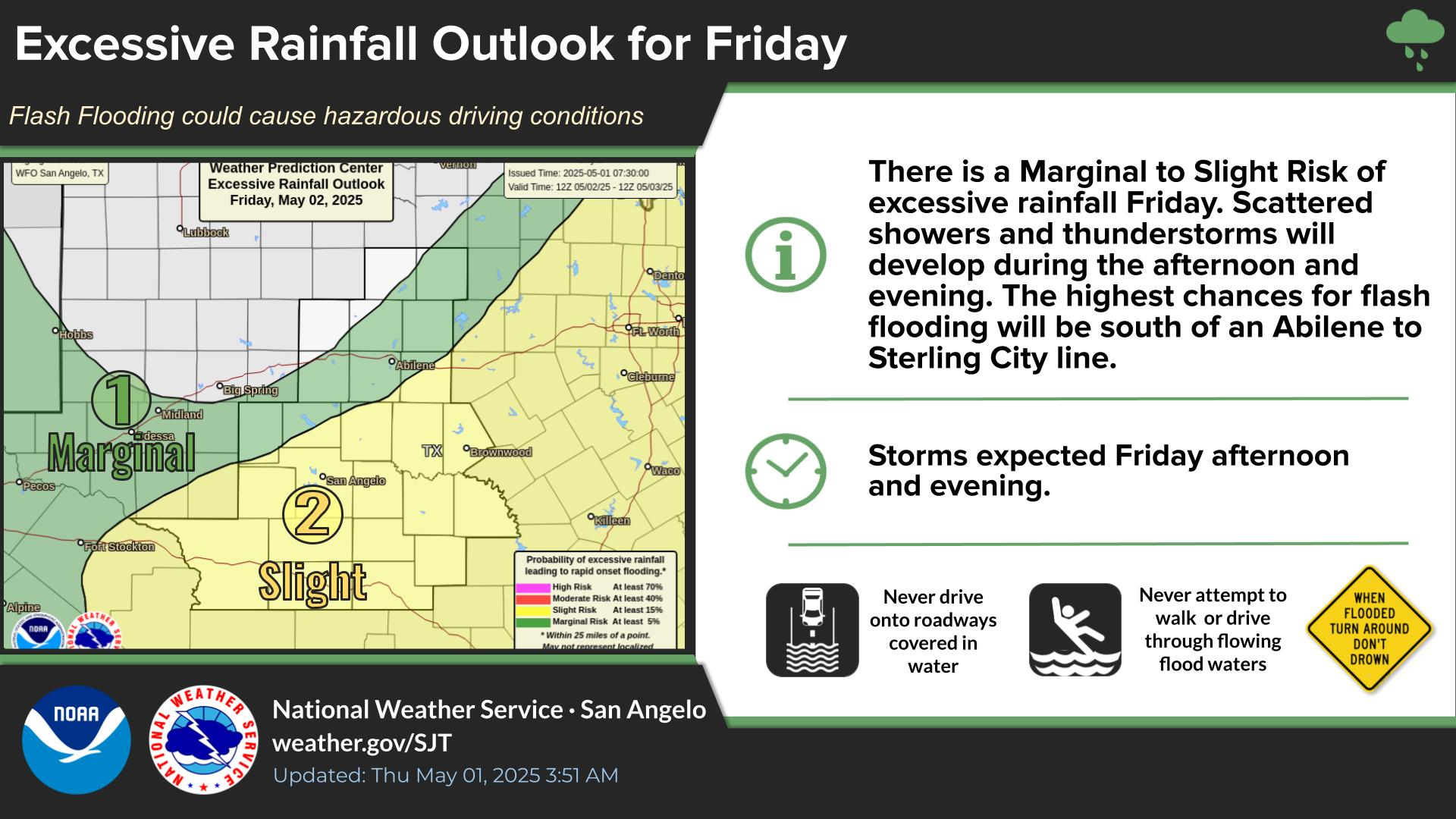
There is a Marginal Risk of excessive rainfall over our southeast counties this afternoon and the northern Big Country overnight. Heavy rain in short periods of time may lead to flooding of low lying areas and roadways.
Strong to severe thunderstorms will develop north of the area Sunday evening, then move south into northern portions of the area early Monday morning. Large hail and damaging winds are the main threats. Locally heavy rainfall is also possible.
Showers and thunderstorms will develop to our north Sunday night then move south into northern portions of the area Monday morning. Heavy rainfall may result in flooding of low lying areas and roadways.
Isolated to scattered showers and thunderstorms are expected this afternoon and early evening, mainly across our southern counties. Showers and thunderstorms are again possible Sunday into Monday. Hotter temperatures are forecast next week.


 Virtual Tour
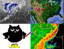 Weather Briefing
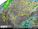 Satellite Loops
 Past Weather Reports
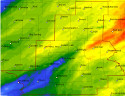 Past Rainfall Maps
 Drought Information
 River & Lake Levels
 Fire Weather
 Aviation Weather
 Additional Resources
 Social Media