
A strong Pacific storm continues to track across the Great Basin. Heavy snow is expected across the higher elevations and heavy rain across lower terrain. Strong gusty winds will make for additional hazards for travelers. These winds will bring increasing fire weather concerns for the southern High Plains. Then we will closely watch for severe thunderstorms across the central Plains on Monday. Read More >
Last Map Update: Sun, May. 5, 2024 at 8:59:22 pm AST


 Graphical Hazardous Weather Outlook
 Tropical Analysis
 Tropical Weather
 Regional Satellite
  Puerto Rico and U.S. Virgin Islands
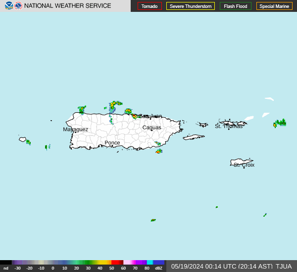
 Local Radar