National Weather Service United States Department of Commerce

Heavy Rainfall Across the Lower Mississippi Valley and Gulf Coast; Storm System Impacting the Northwest

Periods of heavy rainfall are expected across the Lower Mississippi Valley and Gulf Coast Friday. A Slight Risk (level 2 of 4) of Excessive Rainfall has been issued for portions of the Texas and Louisiana coast. A strong Pacific storm will impact the Pacific Northwest and Great Basin Friday through the weekend, bringing high elevation snow, lower elevation rain, and strong winds. Read More >

Click a location below for detailed forecast.

Last Map Update: Fri, May. 3, 2024 at 12:27:15 am AST

National Weather Service Key West, FLNational Weather Service Miami - South FloridaNational Weather Service Southern Region Headquarters
National Weather Service Southern Region HeadquartersZoom
Out

National Weather Service Southern Region Headquarters
National Weather Service Southern Region HeadquartersNational Weather Service Southern Region HeadquartersNational Weather Service Southern Region Headquarters

TJUA Radar - Cayey, PR
There is an increasing risk for Flash Flooding Friday and early this weekend due to favorable atmospheric conditions resulting in periods of heavy rainfall as well as saturated soils and rivers above normal levels. Therefore a Flsah Flood Watch will be in effect from Friday 6 AM to Sunday 6 PM. For more information feel free to read the FFASJU product.
Expect the highest rainfall accumulations and shower activity along the eastern half of PR, Culebra, Vieques, St. Thomas, and St. Croix. | Se espera que las acumulaciones mayores y la actividad de lluvia sea en la mitad este de PR, Vieques, Culebra, St. Thomas, and St. Croix.
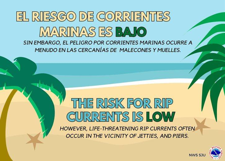
High Rip Current Risk for northern and northeastern Puerto Rico and Culebra. | Existe un riesgo alto de corrientes marinas para el norte y noreste de PR y Culebra.