National Weather Service United States Department of Commerce

Severe Thunderstorms in the Central U.S.; Heavy Rainfall in the Southern Plains and the Carolinas

Scattered to numerous severe thunderstorms are expected to expand further east each day from the southern High Plains to the Tennessee and Lower Ohio Valleys to the Carolinas through Saturday. An area of low pressure in association with tropical moisture will produce periods of heavy rainfall for coastal portions of North Carolina today. Read More >

Click a location below for detailed forecast.

Last Map Update: Thu, Jun 5, 2025 at 3:44:17 pm AST
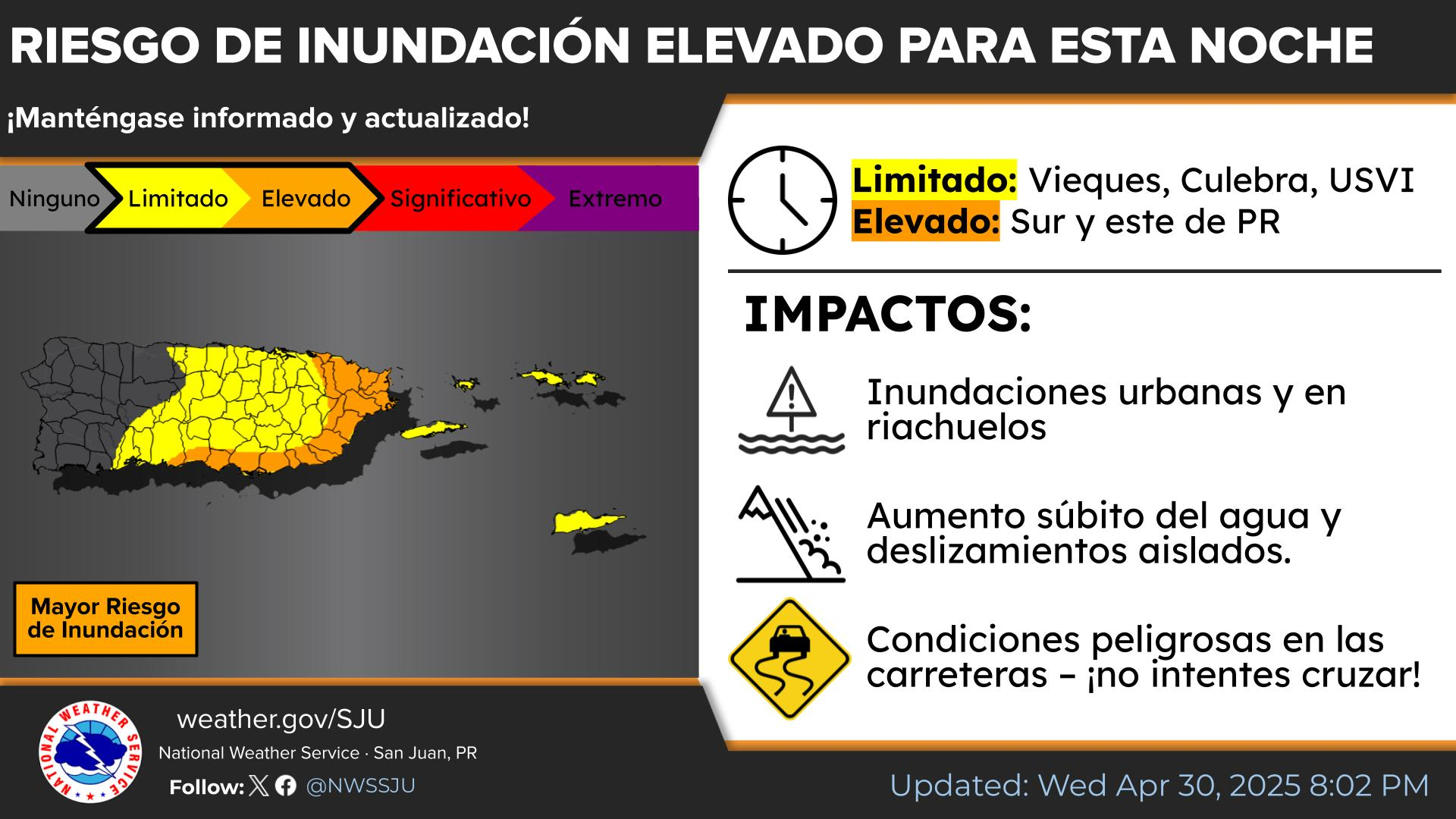
[June 5th] 🍃Breezy and Variable Conditions Continue. 🌦️Afternoon showers and t-storms mainly over the interior and W PR, with passing showers for the east and the USVI. 🌡️Temperatures will remain seasonably hot, with heat indices up to 105 degrees anticipated. 🌊Breezy easterlies will lead to light chop and a low to moderate risk of rip currents. | [5 de junio] 🍃Continúa la Brisa con Condiciones Variables. 🌦️Por la tarde se esperan lluvias y tronadas, principalmente sobre el interior y el O de PR, con lluvias pasajeras en el este y las USVI. 🌡️Las temperaturas se mantendrán cálidas y de temporada, se anticipan índices de calor de hasta 105 grados. 🌊Brisa del este dará lugar a oleaje ligeramente picado y un riesgo de bajo a moderado de corrientes marinas. #PRwx #USVIwx
TJUA Radar - Cayey, P.R.