
Heavy rainfall and flooding concerns remain for today across Central Texas and the Hill Country, with scattered thunderstorms expected this afternoon and evening. Tropical Storm Chantal has formed and will bring heavy rainfall and flooding concerns to portions of the coastal Carolinas. Life-threatening surf and rip currents are expected from the Southeast to Mid-Atlantic. Read More >
Last Map Update: Sat, Jul 5, 2025 at 8:08:25 pm AST


 Graphical Hazardous Weather Outlook
 Tropical Analysis
 Tropical Weather
 Regional Satellite
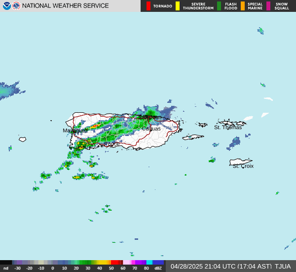
 Puerto Rico and US Virgin Islands