San Juan, PR
Weather Forecast Office
| Today | 7- Day Average |
 |
 |
| 14- Day Average | 28- Day Average |
 |
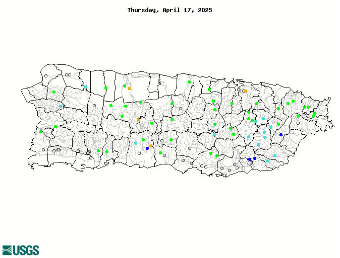 |
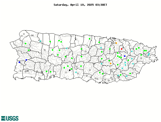
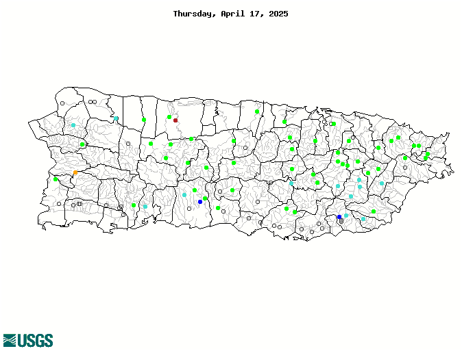
United States Geological Survey (USGS) Water Watch
| Major Water Reservoirs |
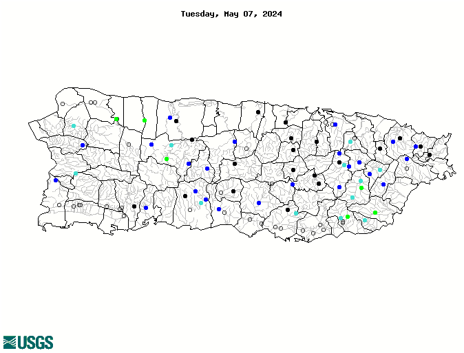
| Latest Volumetric Soil Moisture Image |
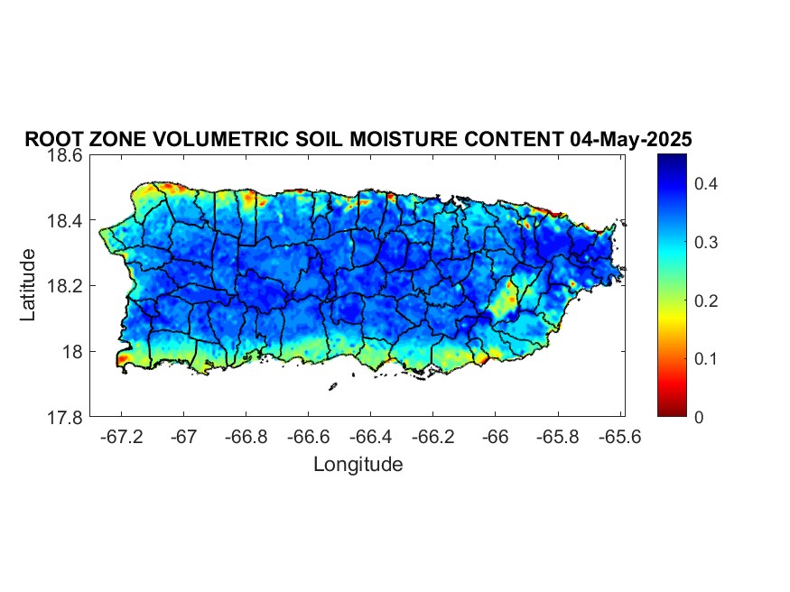 |
| Latest Soil Saturation |
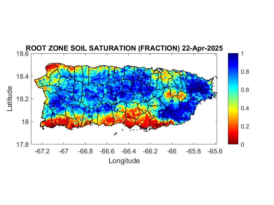 |
Soil saturation: 1=Saturated.
US Dept of Commerce
National Oceanic and Atmospheric Administration
National Weather Service
San Juan, PR
4000 Carretera 190
Carolina, PR 00979
787-253-4586
Comments? Questions? Please Contact Us.


 7-Day Graphical Hazardous Weather Outlook
 Tropical Analysis
 Tropical Weather
 Regional Satellite
 Puerto Rico and US Virgin Islands
 Local Radar