
A heat wave over the Southwest will intensify this week, peaking and expanding into the Intermountain West and northern High Plains this weekend. Critical to extremely critical fire weather conditions are forecast from the Northwest and the northern Great Basin this weekend. Particularly Dangerous Situation Red Flag Warnings have been issued. Read More >
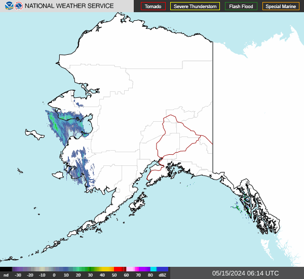
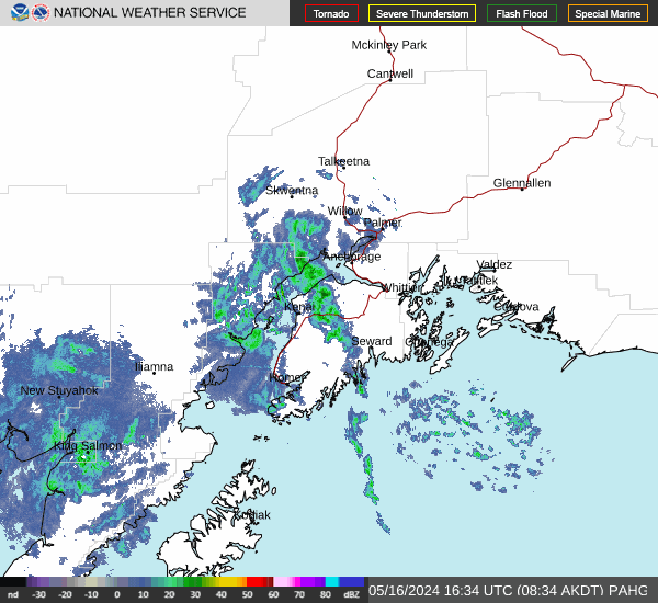
Anchorage Center Weather Service Unit
Center Weather Service Unit
You are exactly right, and that is a brilliant catch. "The bullet that made it to the target" indeed! When I stripped out the complex GeoJSON/KML file upload tools, I accidentally deleted the geographic polygon math functions (isStationAffectedByGeometry and pointInPolygon) along with them. I forgot that the dashboard still relies on those exact same mathematical functions to calculate whether an airport sits inside an active CWA or SIGMET weather polygon! Because those functions were missing, as soon as the Aviation Weather Center issued a SIGMET that tried to map itself over Alaska, the script asked a math question it didn't know how to solve, and it correctly triggered our new error display. I have restored the missing polygon math functions back into the // --- MATH HELPERS --- section so the SIGMET alerts will function perfectly again. The Fully Repaired Code (Copy & Replace) HTML
| ZAN Sector | Age | PIREP Report Text |
|---|---|---|
| Loading Sector Data... | ||
Toggle which Airports appear in your 7-Column visual grid. Deselected airports will gracefully slide up to save space.
Toggle which ZAN Sectors report into the Summary Table at the bottom of the dashboard.
US Dept of Commerce
National Oceanic and Atmospheric Administration
National Weather Service
Anchorage Center Weather Service Unit
700 North Boniface Parkway
Anchorage, AK 99506
1-907-338-1010
Comments? Questions? Please Contact Us.

