Hazardous heat will continue across the Southern Plains, Gulf Coast and Desert Southwest through the weekend. Additional heat will build into the Great Basin and Northern Plains this weekend. A stalled front is expected to bring periods of heavy to excessive rainfall and flooding from the Tennessee Valley to the Southeast U.S on Friday. Read More >

AM SWAP Statement PIREP Solicitation PIREPs SIGMETs AIRMETs ZNY CWA/MIS Local Forecast
Click on images below to enlarge
|
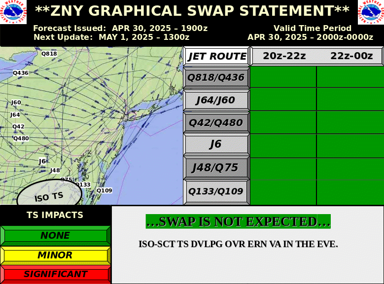
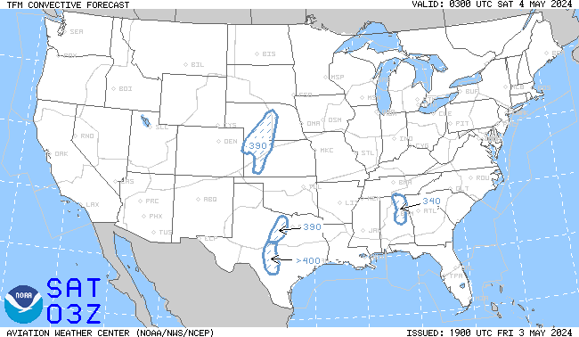
Day 1 SWAP Forecast
|
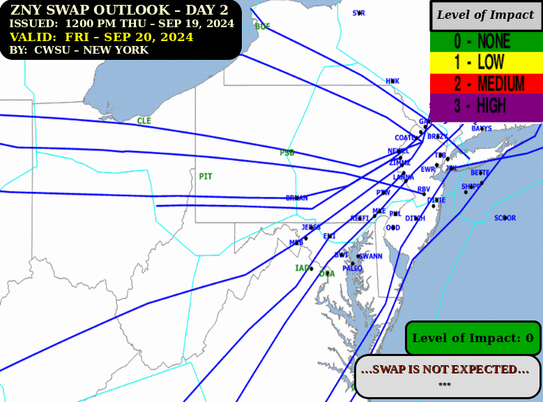
Day 2 SWAP Outlook
|
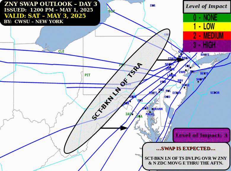
Day 3 SWAP Outlook
|
|
N90 Thunderstorm TDA
|
PHL-PCT Thunderstorm TDA
|
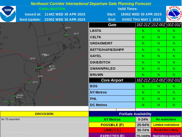
International Departure Gate Forecast
|
|
Convective Watches
|
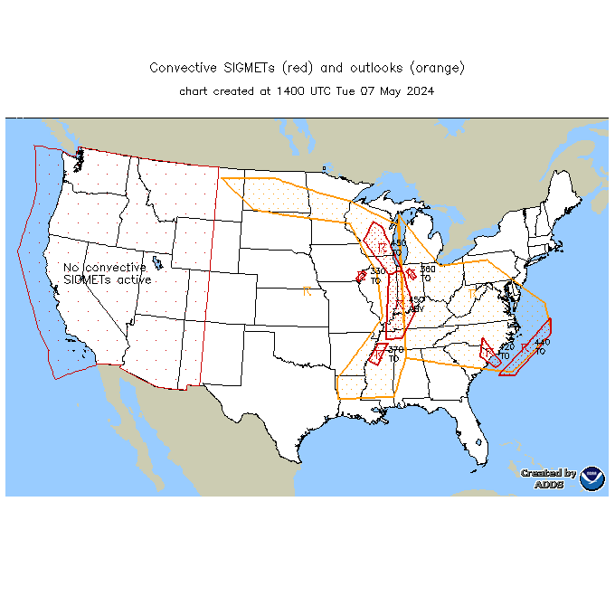
Convective SIGMETs
|
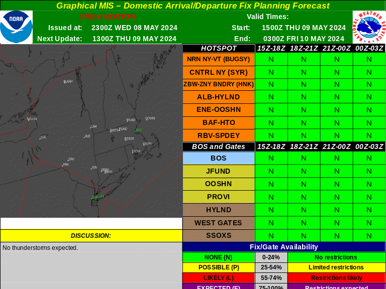
Domestic Arrival/Departure Fix Forecast
|
|
4-hr TCF
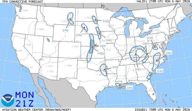
|
6-hr TCF
|
8-hr TCF
|
|
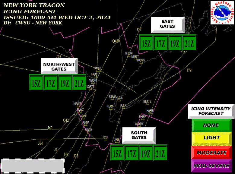
N90 Icing TDA
|
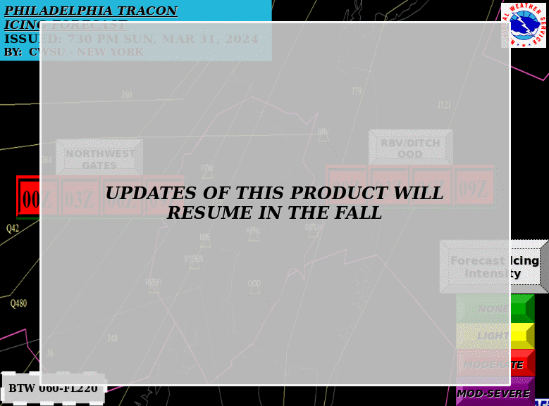
PHL Icing TDA
|
Current Icing SIGMETs
|
Current Icing PIREPs
|
|
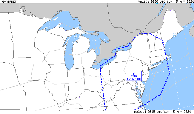
00-03 hr Icing AIRMETs
|
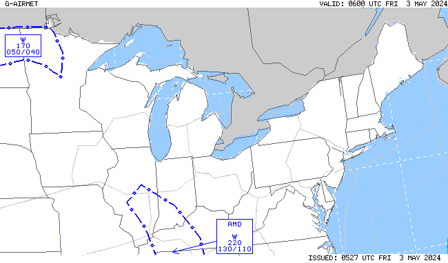
03-06 hr Icing AIRMETs
|
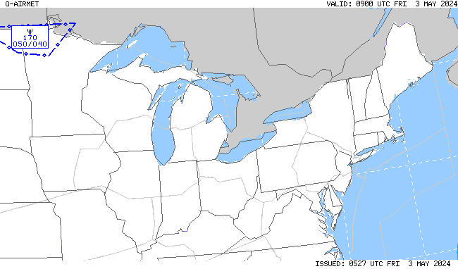
06-09 hr Icing AIRMETs
|
09-12 hr Icing AIRMETs
|
|
Also see: CIP/FIP Icing Guidance |
|||
|
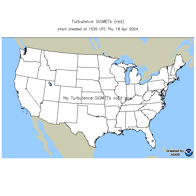
Current Turb SIGMETs
|
Current Turb PIREPs
|
||
|
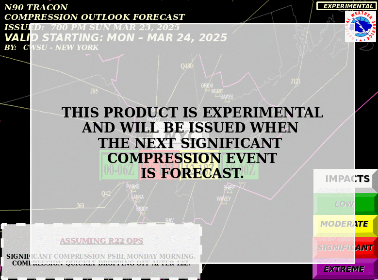
N90 Compression Outlook
|
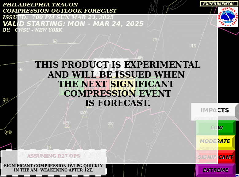
PHL Compression Outlook
|
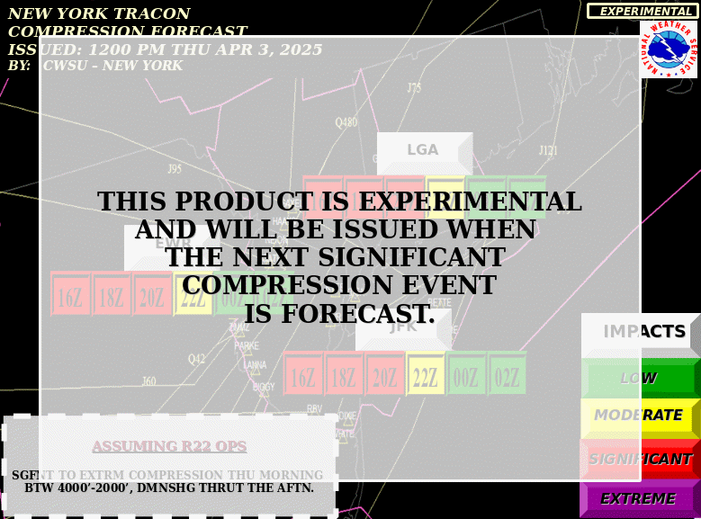
N90 Compression TDA
|
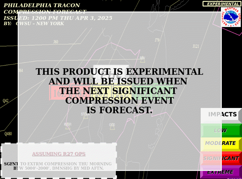
PHL Compression TDA
|
|
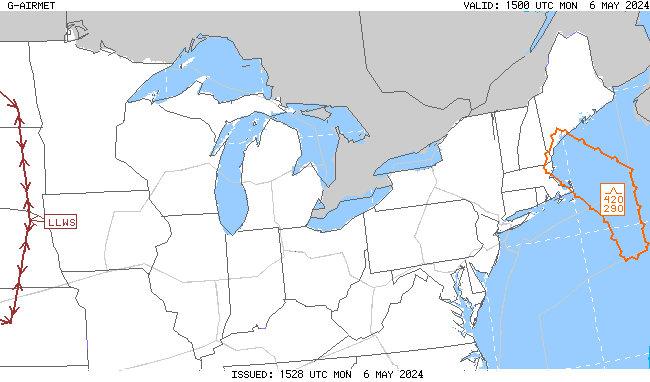
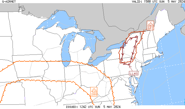
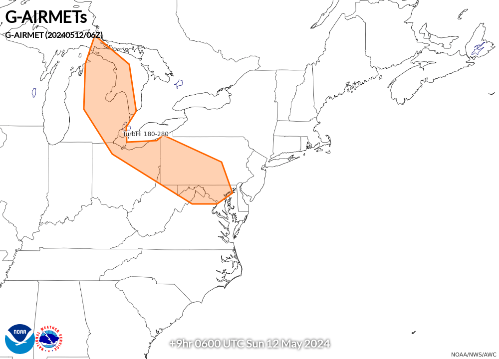
00-03 hr Turb/LLWS AIRMETs
|
03-06 hr Turb/LLWS AIRMETs
|
06-09 hr Turb/LLWS AIRMETs
|
09-12 hr Turb/LLWS AIRMETs
|
|
Also see: Graphical Turbulence Guidance (GTG) |
|||
| TAF Impact Boards: | Area A | Area B/N90 | Area C | Area D | PHL Metro | All Airports |
| TAFs/METARs: | Area A | Area B/N90 | Area C | Area D | PHL Metro |
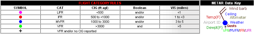
Default display includes all SIGMETs, CWAs, IR satellite imagery, and satellite detected lightning density