National Weather Service United States Department of Commerce


Overview Surface/Upper Air/Satellite Snow & Ice Totals
Photos Other Links  
 

Overview

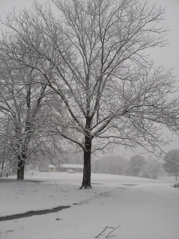
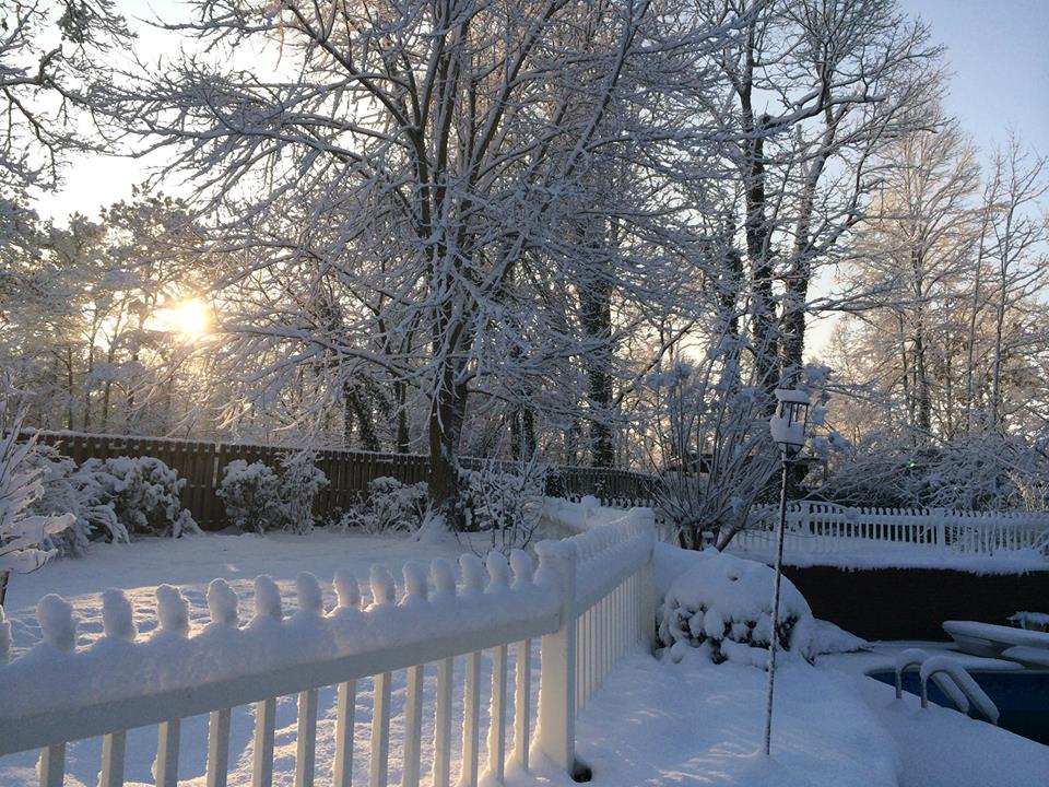
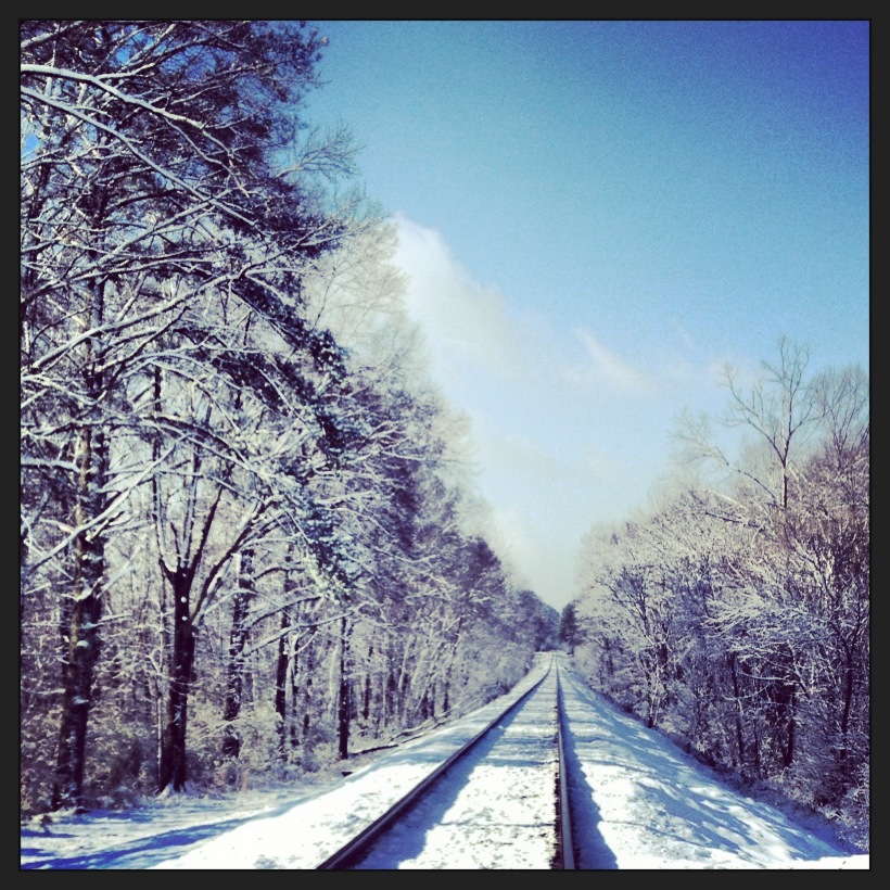
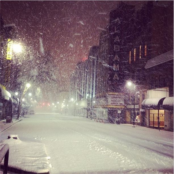
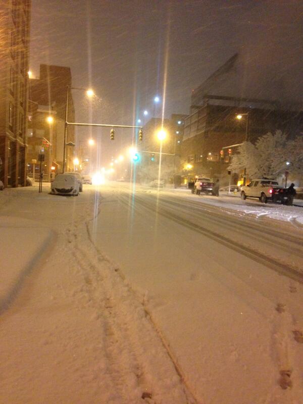
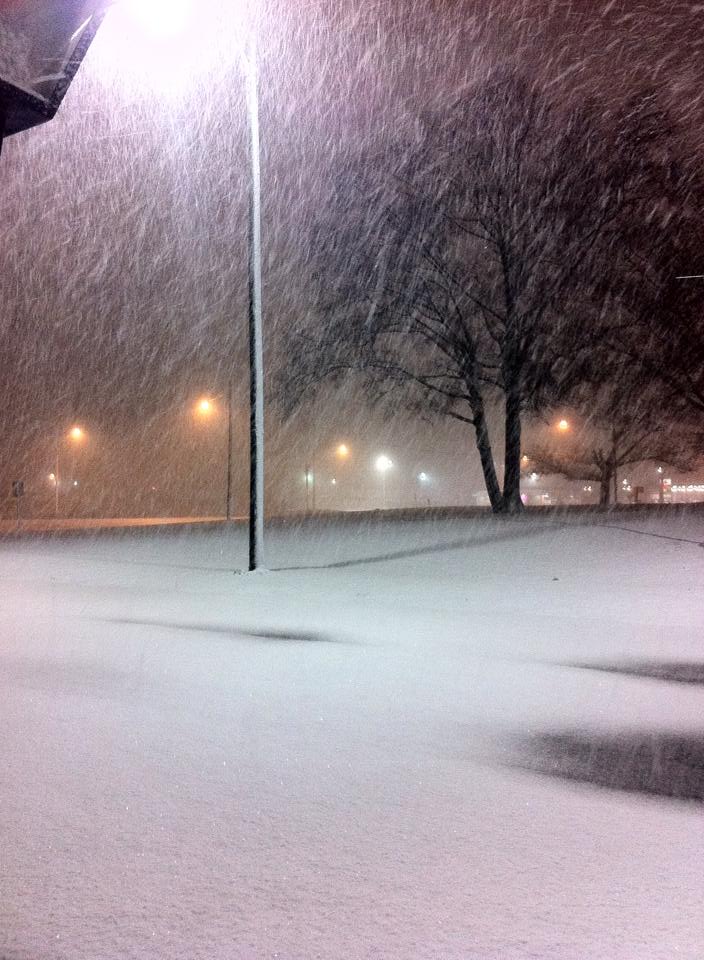
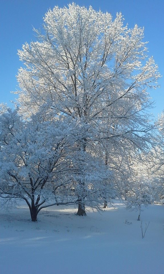
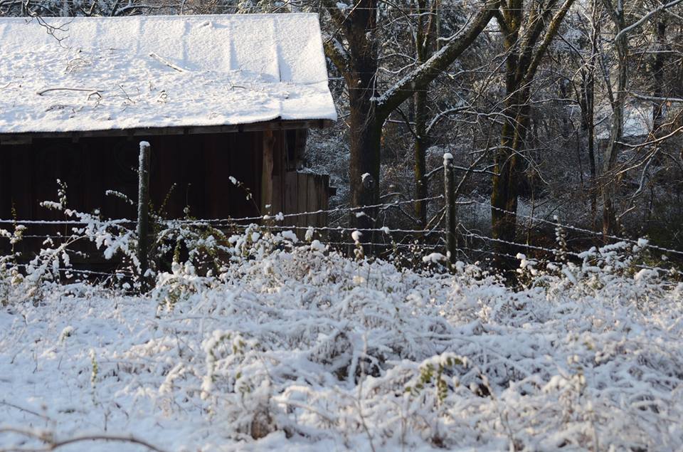
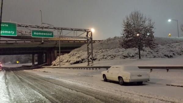
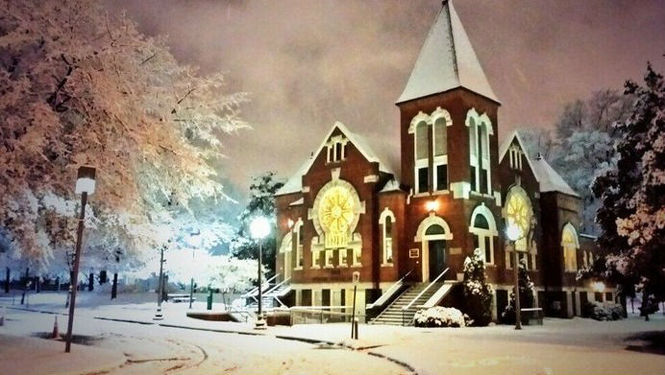
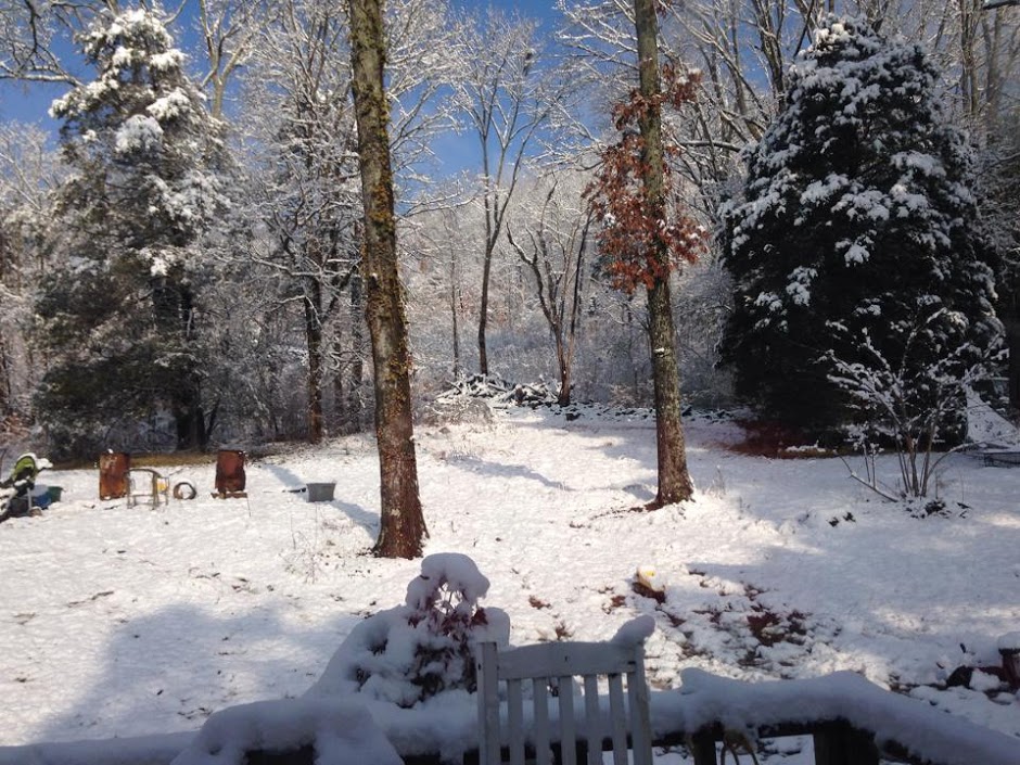
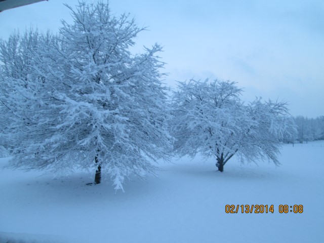
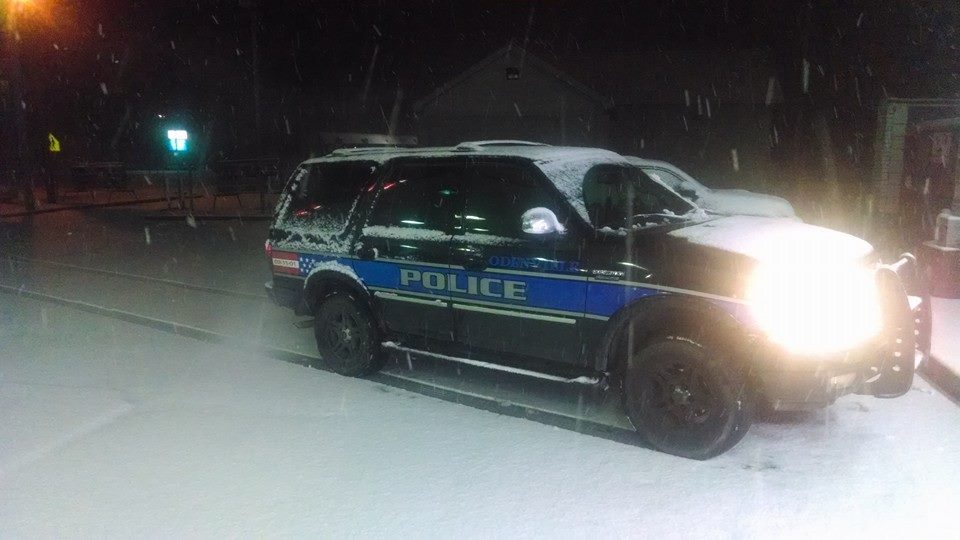
An extremely complex weather system brought a unique double snowfall event to Central Alabama on February 11th and again on February 12-13th, 2014.  The setup began as an arctic cold front moved across the area on Monday, February 10th.  The cold front brought temperatures from the 60s (previous weekend) down to near or just above freezing by Tuesday morning.  As moisture from the Gulf of Mexico moved northward to coincide with the colder temperatures during the morning hours on Tuesday, most of Central Alabama experienced a cold rain, while areas along and just south of Highway 278 saw a changeover to sleet and snow.  Interestingly, a heavy band of snow formed right along Highway 278, where several inches of snow fell across Marion and Winston Counties in the northwest and Northern Blount, Etowah, and Cherokee Counties in the northeast. The moisture from the first event quickly exited to the east into Northern Georgia by the mid morning hours on Tuesday.

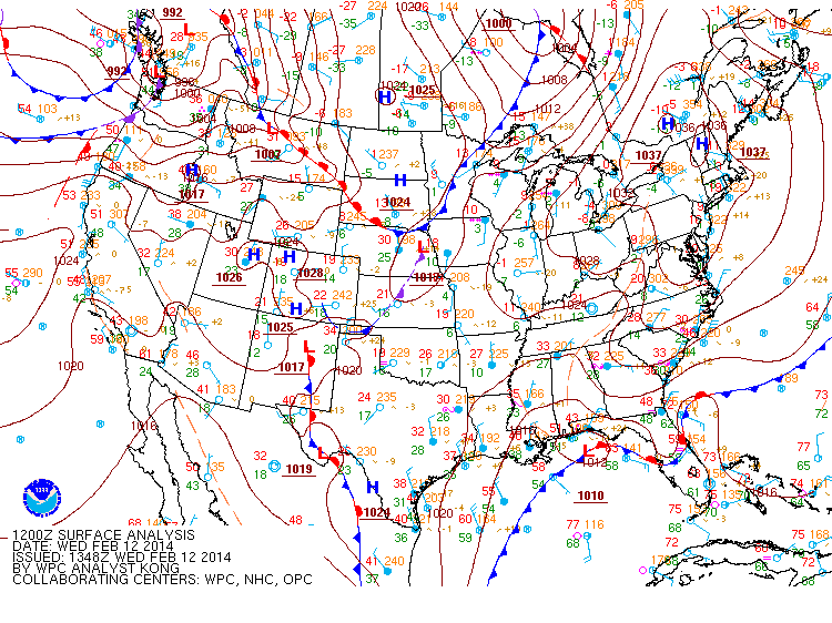
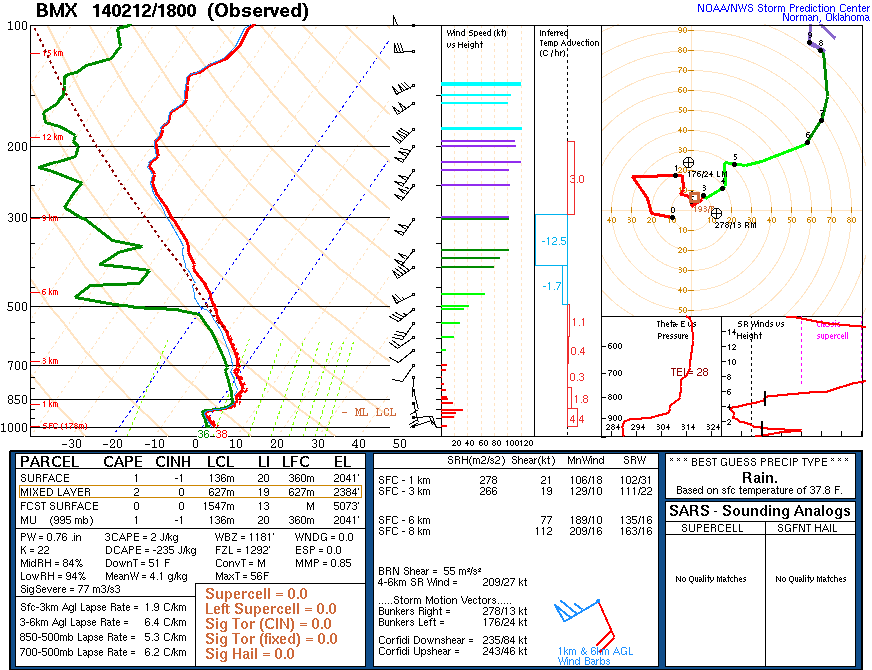
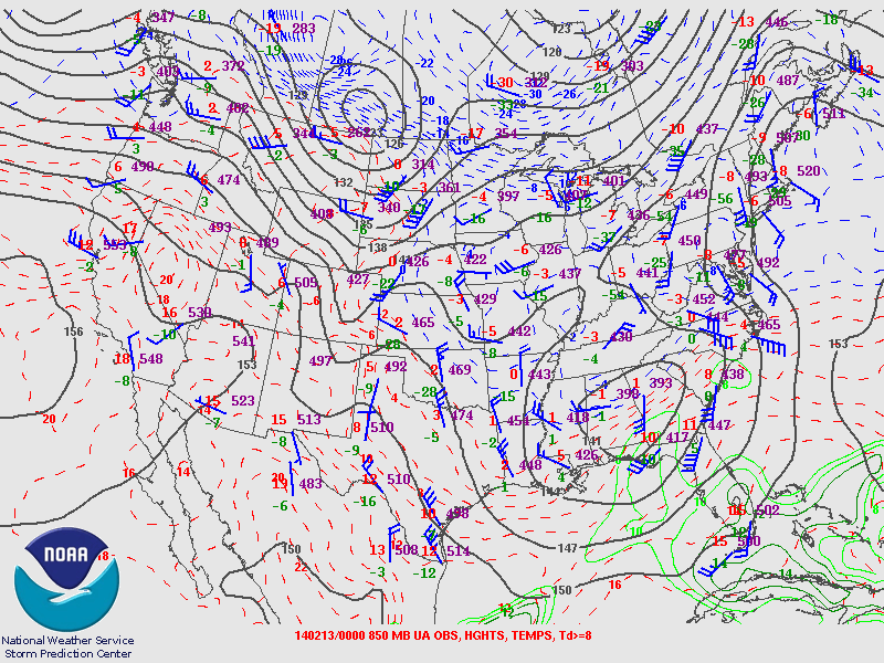
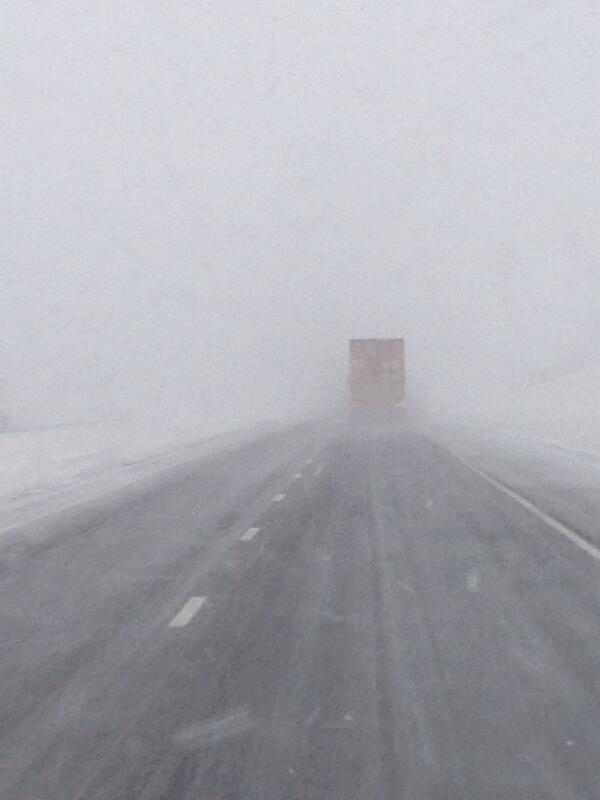
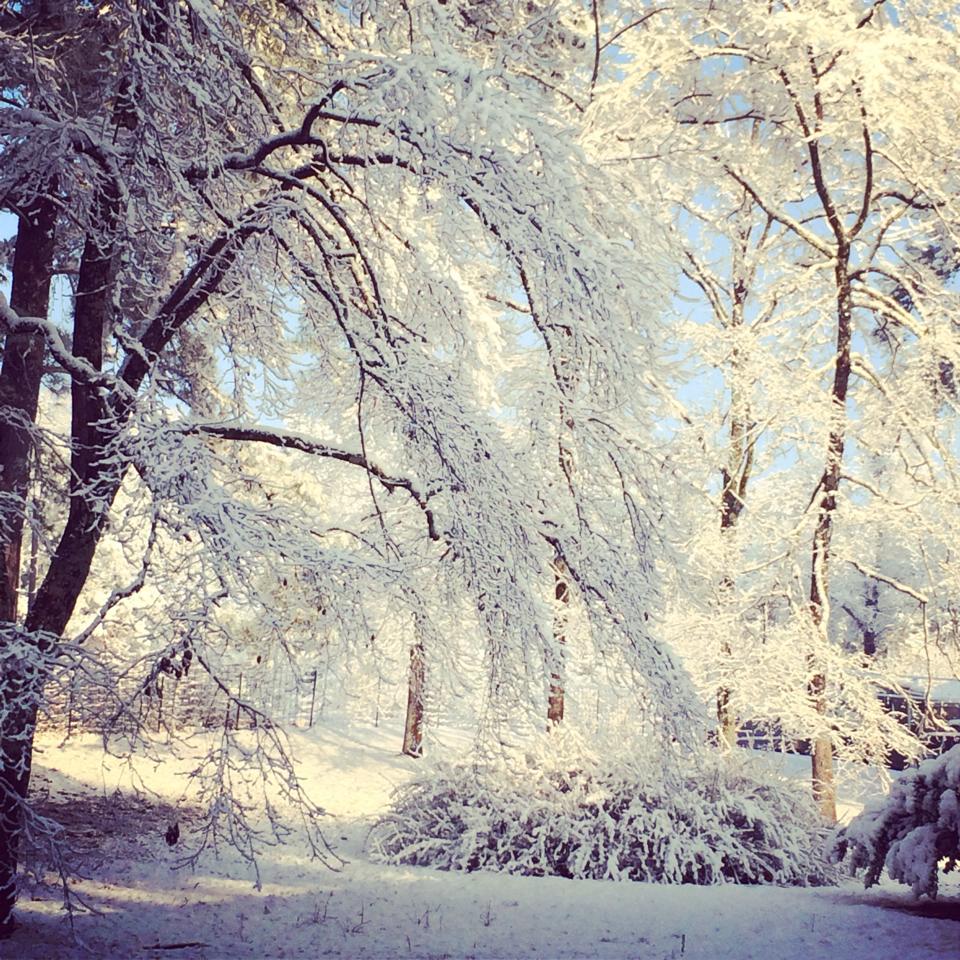
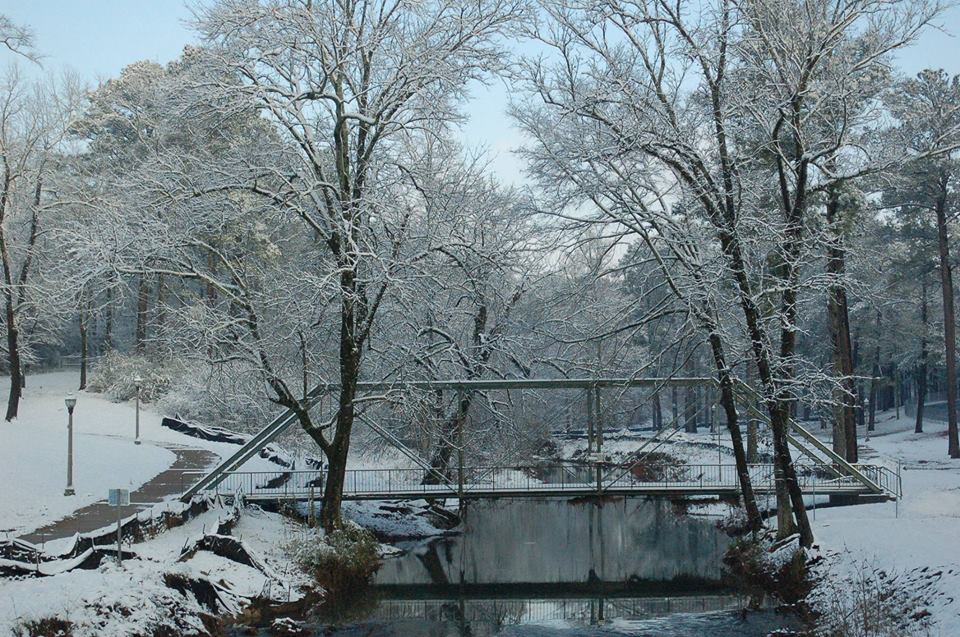
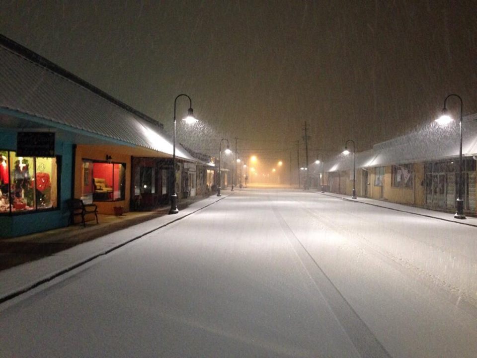
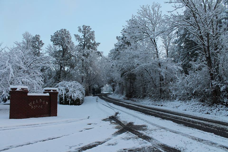
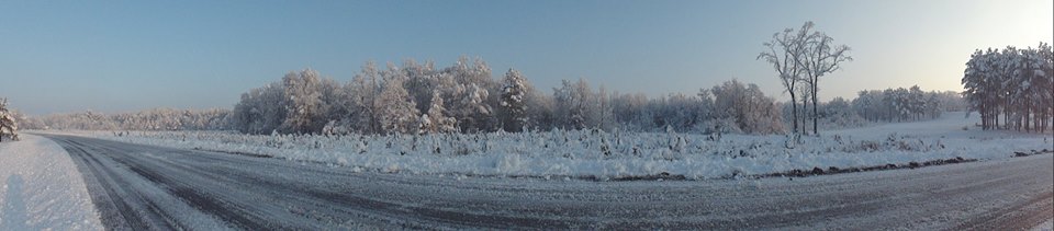
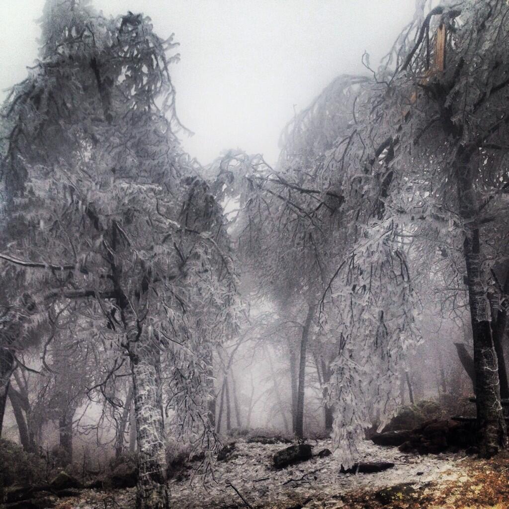
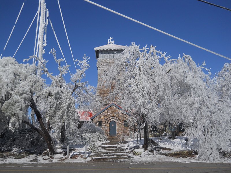
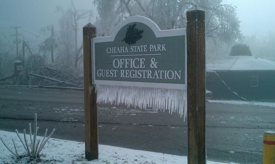
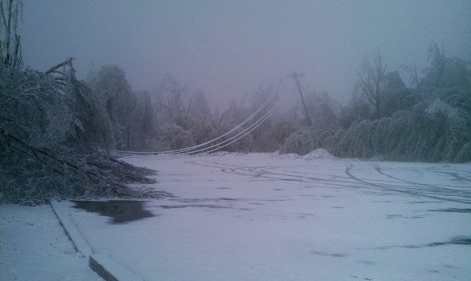
Meanwhile, a strong high pressure system was settling across Pennsylvania and New Jersey, which is a perfect setup for cold air damming along the East Coast and Southeast U.S.  Cold air damming occurs when colder New England air settles and is essentially trapped in between the Smokey Mountains and the warmer waters of the Atlantic Ocean and Gulf of Mexico.  This allows colder air to settle near the surface, while the air aloft oftentimes remains above freezing (think of cold dense air being heavy and settling close to the surface).  Once again, on the heels of the Tuesday early morning storm system, another much stronger system was developing across the Southeastern U.S.  For the most part, at least early on, temperatures had warmed to just above freezing, and much of Central Alabama experienced just a cold rain.  However, as the cold air damming strengthened Wednesday morning, many of the eastern counties went from a cold rain to an ice storm.  Around a quarter-inch of ice or slightly less was seen from Cherokee County, southward into Cleburne, Randolph, Chambers, and Clay Counties. Cheaha State Park experienced the most ice, around one half inch, which knocked out power and brought down thousands of trees throughout the park.  This system also led to the epic ice storm that impacted much of the East Coast.

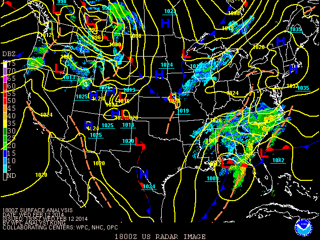
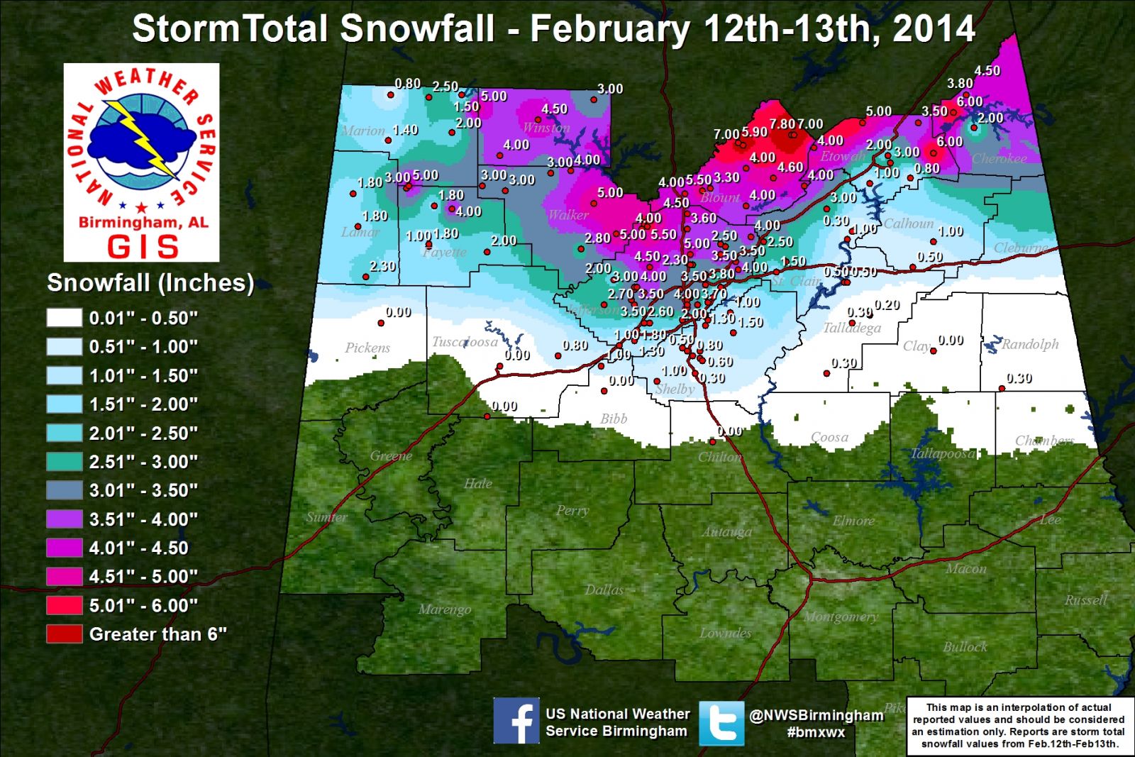
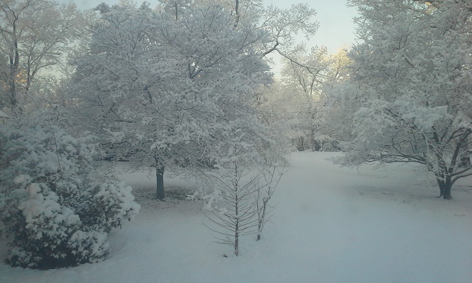
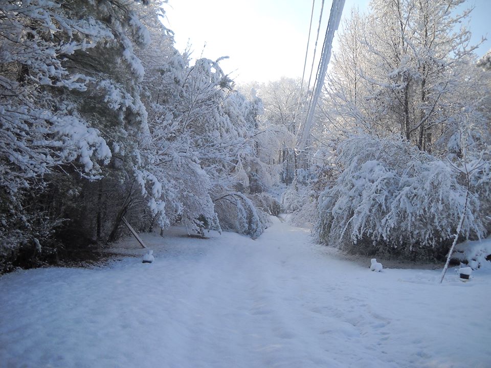
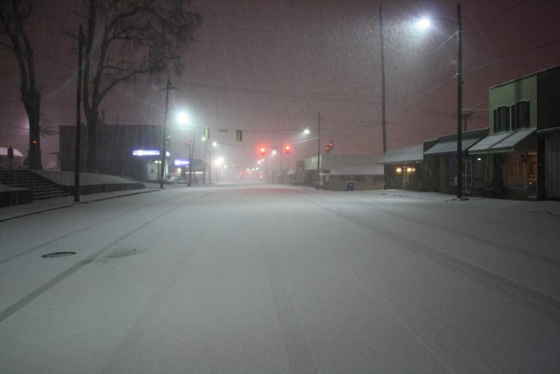
This stronger second system wasn't quite done yet, as the upper level portion of the storm was still gaining strength across the Northern Gulf Coast.  A strong deformation zone and TROWAL (Trough of Warm Air Aloft) set up over the northern half of Alabama.  A TROWAL is formed by a maturing upper level storm system that pumps significant mid-level moisture around the northern side of the low center, while complex dynamic cooling takes place to quickly lower temperatures below freezing.  From west to east (as seen on the snow map below), heavy bands of snow fell across most of the region north of Interstate 20.  As the system progressed northeastward, it continued to gain strength.  As a result, a heavy snowband setup across the northern half of Jefferson and Blount Counties, which led to locally maximized totals.  Again, this is a very rare setup across the area where several non-unique weather events came together in just the right way to cause a prolonged winter weather event, thus creating a very difficult forecast.


Surface/Upper Air/Satellite

6 AM February 12th

250 mb Chart at 12Z February 12th

250 mb Chart

500 mb Chart at 12Z Febuary 12th

500 mb Chart

850 mb Chart at 12Z February 12th

850 mb Chart

Surface Analysis at 12Z February 12th

Surface Analysis

Surface Analysis & Radar at 12Z February 12th

Surface Analysis & Radar

KBMX Sounding at 12Z February 12th

KBMX Sounding

12 PM February 12th

Surface Analysis at 18Z February 12th

Surface Analysis

Surface Analysis & Radar at 18Z February 12th

Surface Analysis & Radar

KBMX Sounding at 18Z February 12th

Surface Analysis & Radar

6 PM February 12th

250 mb Chart at 00Z February 13th

250 mb Chart

500 mb Chart at 00Z February 13th

500 mb Chart

250 mb Chart at 00Z February 13th

850 mb Chart

Surface Analysis at 00Z February 13th

Surface Analysis

Surface Analysis & Radar at 00Z February 13th

Surface Analysis & Radar

KBMX Sounding at 00Z February 13th

KBMX Sounding

12 AM February 13th

Surface Analysis at 06Z February 13th

Surface Analysis

Surface Analysis & Radar at 06Z February 13th

Surface Analysis & Radar


6 AM February 13th

250 mb Chart at 12Z February 13th

250 mb Chart

500 mb Chart at 12Z February 13th

500 mb Chart

850 mb Chart at 12Z February 13th

850 mb Chart

Surface Analysis at 12Z February 13th

Surface Analysis

Surface Analysis & Radar at 12Z February 13th

Surface Analysis & Radar

KBMX Sounding at 12Z February 13th

KBMX Sounding

Satellite Images

Visible Satellite at 15Z on February 13th

Visible Satellite (Regional)

Visible Satellite at 15Z on February 13th

Visible Satellite (Local)

 
Snow & Ice Totals
 

Preliminary Snowfall Totals

For a complete list of all snow and ice reports received during/after the event, click here.

 
Photos
 

Northwest Snow

Hamilton
Courtesy of Tim Rye

Bear Creek
Courtesy of Michelle Taylor Melcher

Cordova
Courtesy of Vickie Farris

Hamilton
Courtesy of valarie Walker

Dora
Courtesy of Kathy Goble Cole

Shiloh Community
Courtesy of Lisa Sims Wiginton

Kennedy
Courtesy of Scott Bouldin

Haleyville
Courtesy of Littlep Taylor

Haleyville
Courtesy of Littlep Taylor

Haleyville
Courtesy of Littlep Taylor

Corner
Courtesy of Robyn Waldrop Pike

Kennedy
Courtesy of Malin Freeman

Fayette
Courtesy of Fayette Skycam

Quinton
Courtesy of Donna Hurley

Guin
Courtesy of Guin Skycam

Birmingham Area Snow

Birmingham Airport
Courtesy of @me_lion_ulamb

Trussville
Courtesy of Stacy Wooten

Downtown Birmingham
Courtesy of eclecticash (instagram)

Downtown Birmingham
Courtesy of City of Birmingham

Lake View
Courtesy of Mark and Mary Parker

Five Points South
Courtesy of Amy Perryman Gunter

Fultondale
Courtesy of Jennifer Malone

Concord
Courtesy of John Talbot

Birmingham
Courtesy of Melissa Hope Stewart

Trussville
Courtesy of Jason Reed

UAB
Courtesy of Samantha Wilson

US 78 @ Finley Blvd
Courtesy of Stephanie Jones

Crestwood
Courtesy of Lori Sparacio

Forestdale
Courtesy of Tori Farris

Downtown Birmingham
Courtesy of AJ Fennell

Pinson
Courtesy of Johanna Farley

Emerald Valley Resort
Courtesy of Carol Wilbanks

Homewood
Courtesy of Danny Griffen

East Lake
Courtesy of B Monique Jeter

Gardendale
Courtesy of Eddie Ford

Red Mountain Expwy
Courtesy of Stacy Wooten

Leeds
Courtesy of David Gillespie

Trussville
Courtesy of Jenny Ellison

Vulcan
Courtesy of al.com

Forestdale
Courtesy of Tori Farris

Gardendale
Courtesy of John Gray

Homewood
Courtesy of Will Harris

Fairfield
Courtesy of Matthew Romei

Hoover
Courtesy of Matthew Grantham

UAB
Courtesy of Mark Heim

Hueytown High School
Courtesy of Dave Jones


Northeast Snow

Blountsville
Courtesy of Melissa Sansing

Margaret
Courtesy of Amy Brasher Stuart

Oneonta
Courtesy of Scott

Susan Moore
Courtesy of Belinda LeCroy

Blount County
Courtesy of Paula Stewart

Oneonta
Courtesy of Tammy Wingard

Oneonta
Courtesy of Blount County EMA

Oneonta Fire Dept
Courtesy of Blount County EMA

Remlap
Courtesy of Sara Young

Straight Mountain
Courtesy of Jan Denson

Snead
Courtesy of Belinda/Randy Beeson

Susan Moore
Courtesy of Carla Cleveland

Palisades Park
Courtesy of Ken Campbell

Locust Fork
Courtesy of Weslie Powell

Ranburne
Courtesy of Denise/Buddy Turner

Oneonta
Courtesy of Blount County EMA

Odenville
Courtesy of Odenville Police Dept

Blount Co Hwy 26
Courtesy of Paula Stewart


Northeast/East Ice

Bald Rock (Mt Cheaha)
Courtesy of Jordan Shears

Hwy 281 near Mt Cheaha
Courtesy of Julie Amelia Smith

Wedowee
Courtesy of Jamey Walls

Wedowee
Courtesy of Jamey Walls

Mt Cheaha
Courtesy of Hayes Jackson

Cheaha State park
Courtesy of Alabama State Parks

Cheaha State Park
Courtesy of Alabama State Parks

Cheaha State Park
Courtesy of Alabama State Parks

Cheaha State Park
Courtesy of Alabama State Parks

Cheaha State Park
Courtesy of Alabama State Parks

Mountain Longleaf NWR
Courtesy of Michelle Miklik

Mountain Longleaf NWR
Courtesy of Michelle Miklik

Other Links

NWS Peachtree City, GA

NWS Jackson, MS

NWS Columbia, SC