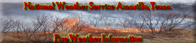
NWS All NOAA
Amarillo, TX
Weather Forecast Office
NEW Spot Forecast Request and Monitoring Page Amarillo Spot Forecast Requests Spot Forecast Instructions Spot Forecast Request Fax Form - when internet spot program is down Spot Forecast Request Form D-1 - when internet spot program is down - requires Adobe Reader 20 Foot Wind to Eye Level Wind Calculator Fire Weather Impact Matrix
Texas and Oklahoma Panhandles Central and Northern New Mexico Western and Central Oklahoma South Plains of Texas
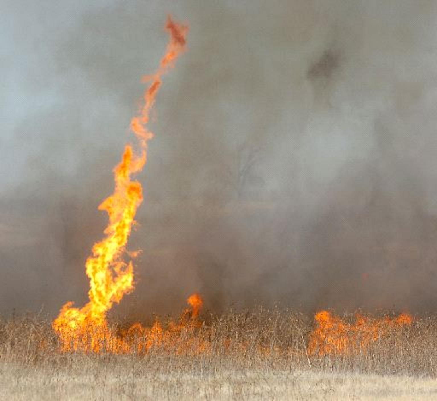
Oklahoma Fire Weather Planner
Texas and Oklahoma Panhandles Central and Northern New Mexico Western and Central Oklahoma South Plains of Texas County Burning Bans - Oklahoma County Outdoor Burning Bans - Texas Fire Danger Rating Day 2 Forecast Fire Danger Rating Fire Weather Watch and Red Flag Warning Criteria Southwest Area Operating Plan - requires Adobe Reader The Red Flag Threat Index (RFTI) Page Modified Red Flag Threat Index Primer
Texas and Oklahoma Panhandles Central and Northern New Mexico Western and Central Oklahoma South Plains of Texas County Burning Bans - Oklahoma County Outdoor Burning Bans - Texas Fire Danger Rating Day 2 Forecast Fire Danger Rating Fire Weather Watch and Red Flag Warning Criteria Southwest Area Operating Plan - requires Adobe Reader
The Red Flag Threat Index (RFTI) Page Modified Red Flag Threat Index Primer
Texas and Oklahoma Panhandles South Plains of Texas
Texas and Oklahoma Panhandles Central and Northern New Mexico
Western and Central Oklahoma South Plains of Texas
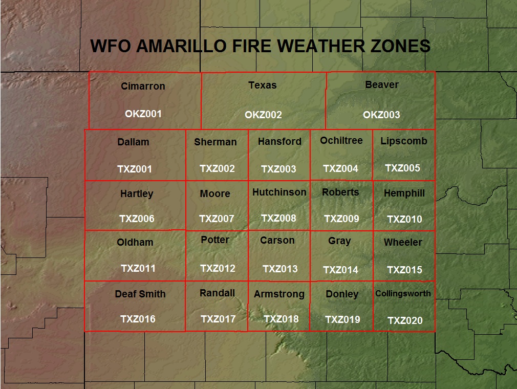
Click on the image
to the left to view
a larger map of the
WFO Amarillo Fire
Weather Zones!
Texas and Oklahoma Panhandles Central and Northern New Mexico South Plains of Texas
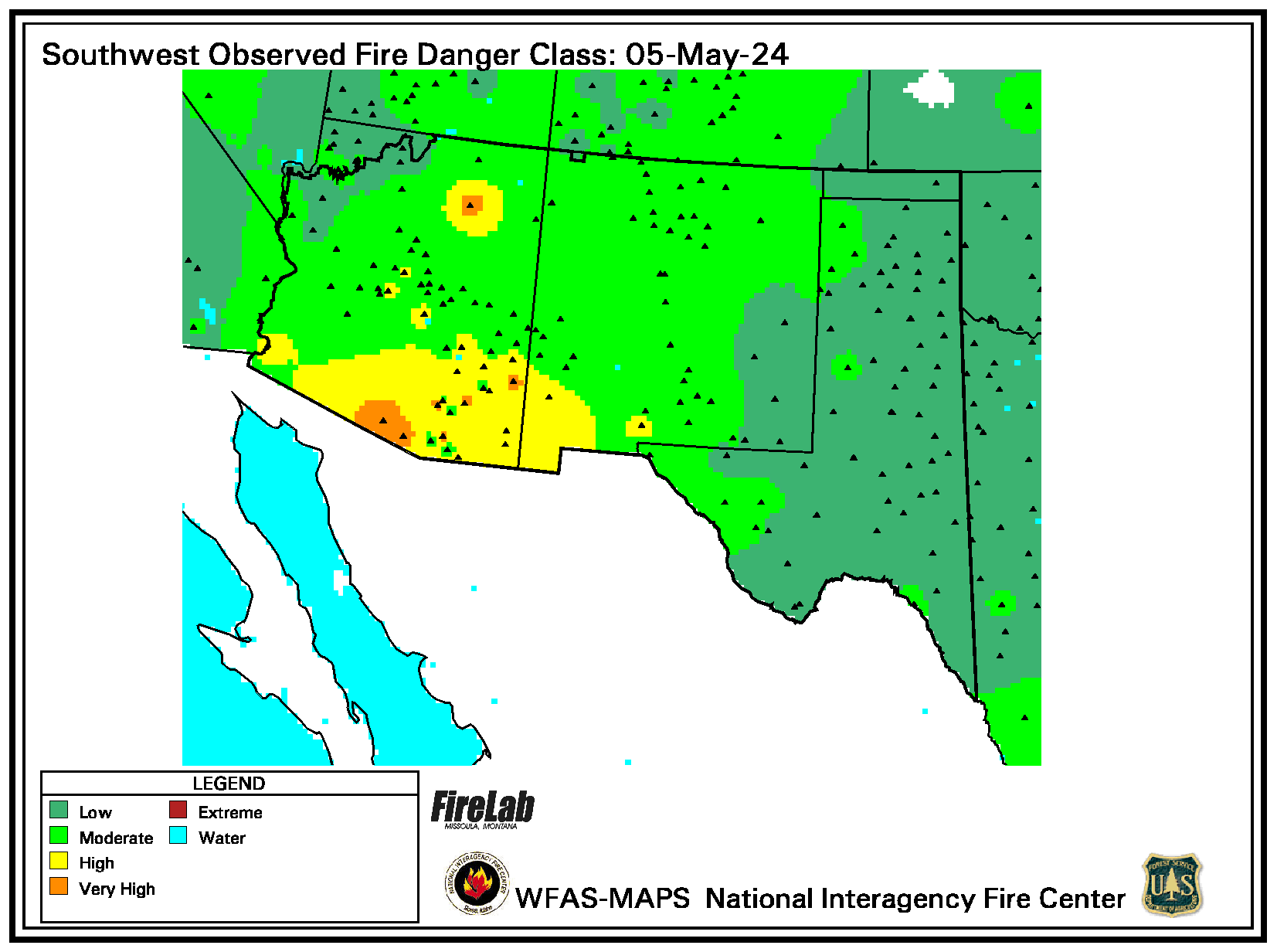
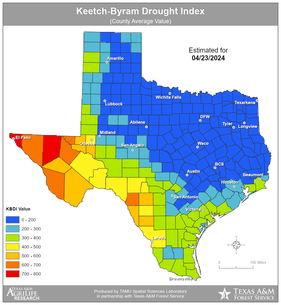
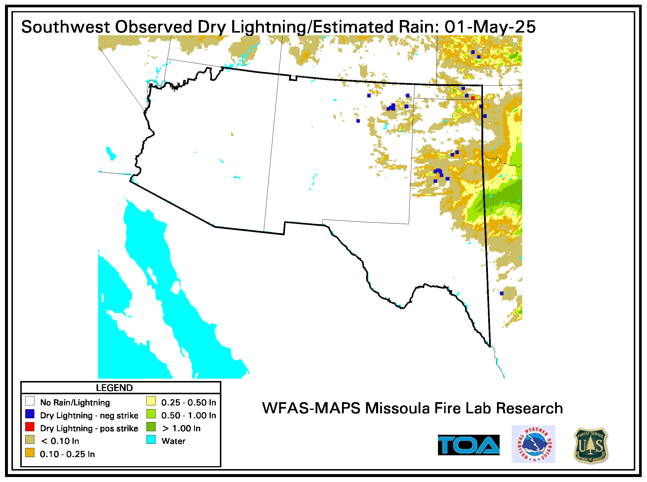
Cedar RAWS - near Lake Meredith Bootleg RAWS - near Hereford Wheeler RAWS Caprock Canyons State Park RAWS Matador RAWS - near Paducah Pinion Canyon RAWS - near Trinidad CO Cimarron RAWS - near Elkhart KS Mills Canyon RAWS - near Roy NM Ute Canyon RAWS - near Campo CO Southwest Region RAWS Current Weather Current Weather Summary for Amarillo CWA Oklahoma Mesonet OK-FIRE Texas Weather Connection Southwest Area Regional Surface Map Current Map MesoWest - AMA WFO Amarillo, Texas West Texas MesoNet Current Obs Current Texas Keetch-Byram Drought Index U.S. Drought Monitor Palmer Drought Severity Index Drought Monitoring Southwest Area Dry Lightning Potential Greeness Maps for Texas
SPC Fire Weather Analysis Page Current and Recent Active Fires Map Texas InciWeb Oklahoma InciWeb Fire Detection Maps Keetch-Byram Drought Index Lower Atmosphere Stability (Haines) Index Dead Fuel Moisture Contents 1-Hour, <1/4" diameter fuels 10-hour, 1/4-1" diameter fuels 100-hour, 1-3" diameter fuels 1000-hour, 3-8" diameter fuels Visible Satellite Images 1, 2, 3, 4, 5 (loop), 6 (loop), 7 (loop) Infrared Satellite Images 1, 2, 3, 4, 5, 6 (loop) 7 (loop) Water Vapor Satellite Images 1, 2 (loop) Fire Channel Satellite Image 1, 2, 3, 4 (loop), 5 (loop) Energy Release Component (ERC) Seasonal Graph
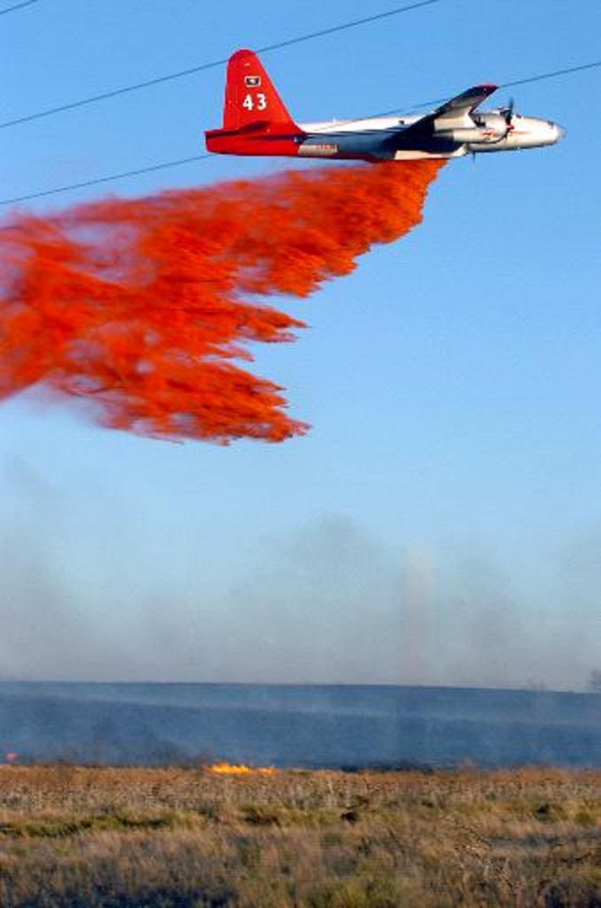
Southwest Area Fire Weather Briefing Texas A&M Forest Service Dispatch Tracker NWS IMET Texas Resource Page
NWS IMET Page Global Disaster Information Service
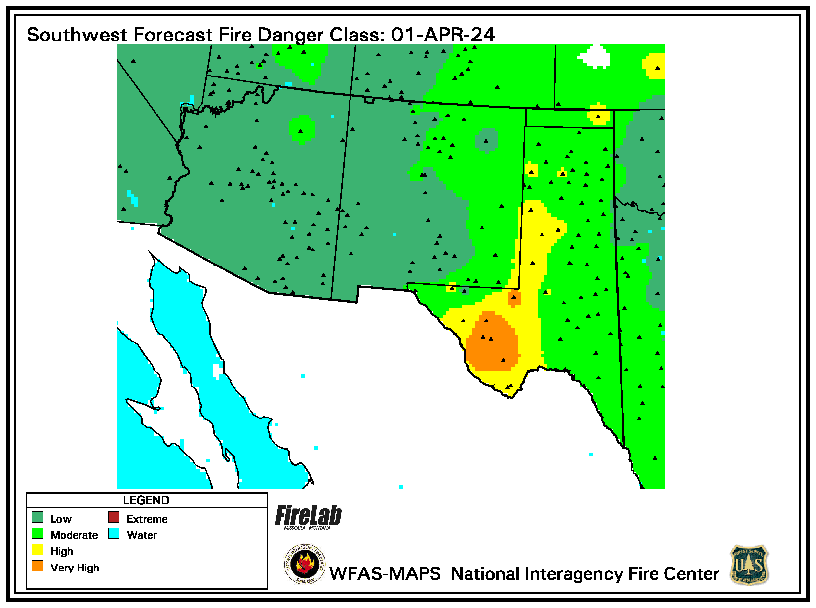
Day 1 Fire Weather Day 2 Fire Weather Day 3-8 Fire Weather Forecast Texas Fire Danger Map Texas Forest Service Fuels SPC Short-Range Ensemble Forecast U.S. Seasonal Drought Outlook Long Range Temperature and Precipitation U.S. Hazards Assessment Outlook Map National Significant Wildland Fire Outlook - requires Adobe Reader National Significant Wildland Fire Outlook Maps Seasonal Significant Wildland Fire Southwest Area Fire Outlooks National Digital Forecast Database Fire Danger Calculator
Day 1 Thunderstorms Day 2 Thunderstorms Day 3 Thunderstorms Mesoscale Discussions
Texas Forest Service Oklahoma Forestry Services National Park Service U.S. Fish & Wildlife Service Palo Duro Canyon State Park Gene Howe Wildlife Management Area Southwest Area Wildland Fire Operations Southern Area Coordination Center Texas Interagency Coordination Center Racher Resource Management, LLC Texas Panhandle Prescribed Burn Association National Interagency Fire Center (NIFC)
U.S. Forest Service Southwest Area U.S. Forest Service - Cibola National Forest Kiowa and Rita Blanca National Grasslands Black Kettle and McClellan Creek NG Bureau of Land Management Bureau of Land Management - NM TX OK KS WFAS - Wildland Fire Assessment System National Wildfire Coordinating Group GeoMAC Wildland Fire Support National Fire Weather Page
Meteorology Education and Training: Fire Weather NWCG Training Joint Fire Science Program Public Domain Software for the Wildland Fire Community
Relative Humidity and Dew Point Tables - requires Adobe Reader 0-500 ASL RH Table 501-1900 ASL RH Table 1901-3900 ASL RH Table 3901-6100 ASL RH Table 6101-8500 ASL RH Table 8501-11000 ASL RH Table 11001-13500 ASL RH Table RAWS Homepage - info about Remote Automated Weather Stations Wildfire Today - recent wildfire news and information Wildfire - Are You Prepared? NWS Directives - NDS 10-4 Fire Weather Services - National Weather Service policy for fire weather International Association of Wildland Fire The Federal Wildland Fire Service Association
To calculate relative humidity or other meteorological conversions, please click HERE
Please direct your fire Weather questions and comments to our Fire Weather Program Leader leader Ken Schneider.

