HOME
FORECAST
Local
Graphical
Aviation
Marine
Rivers and Lakes
Hurricanes
Severe Weather
Fire Weather
Sunrise/Sunset
Long Range Forecasts
Climate Prediction
Space Weather
PAST WEATHER
Past Weather
Astronomical Data
Certified Weather Data
SAFETY
INFORMATION
Wireless Emergency Alerts
Weather-Ready Nation
Brochures
Cooperative Observers
Daily Briefing
Damage/Fatality/Injury Statistics
Forecast Models
GIS Data Portal
NOAA Weather Radio
Publications
SKYWARN Storm Spotters
StormReady
TsunamiReady
Service Change Notices
EDUCATION
NEWS
SEARCH
Search For
NWS
All NOAA
ABOUT
About NWS
Organization
For NWS Employees
National Centers
Careers
Contact Us
Glossary
Social Media
NWS Transformation
Local forecast by
"City, St" or ZIP code
Sorry, the location you searched for was not found. Please try another search.
Multiple locations were found. Please select one of the following:
Location Help
News Headlines
Interested in Becoming a SKYWARN Spotter? Join us for Virtual Training on June 17 or July 1!
Customize Your
Weather.gov
Enter Your City, ST or ZIP Code
Remember Me
LOADING...
Columbia, SC
Weather Forecast Office
Computer Models
Weather.gov
>
Columbia, SC
> Computer Models
Current Hazards
Briefing Page
River Flooding
Space
Winter
Local Outlook
Drought
Thunderstorms
Hurricanes
Current Conditions
Rainfall
Observations (List)
Air Quality
Observations (Map)
Satellite
Radar
Local KCAE Standard Radar (low bandwidth)
Local KCAE Enhanced Radar
Regional Standard Radar (low bandwidth)
National Standard Radar (low bandwidth)
CLT TDWR Radar
Forecasts
Forecasters' Discussion
Aviation
Tropical
Map View
Hourly View
Fire Weather
Rivers and Lakes
Current & Past Streamflow
Ensemble River Guidance
River Forecast Centers
River Observations (Map)
River Forecasts (Map)
Climate and Past Weather
Past Observed Weather
Past Rainfall
CoCoRaHS
24 Hour Summary
Snowfall Records
Drought Outlook
Climate Prediction
Tropical Cyclone Reports
Local Programs
NWR
Skywarn
Outreach
NWS Columbia Computer Models and Maps
Radar and Satellite Products
National Radar
Regional Radar
Local NWS Radar
Visible Satellite
Infrared Satellite
Water Vapor Satellite
Model Data
NCEP Guidance
SPC WRF 00Z
NSSL WRF
SPC WRF 12Z
Bufkit Data
SPC SREF Page
Local Model Data
CAE WRF Model Data
Mos Guidance
MDL Mos Products
Regional GFS Mos Forecasts MAV
Regional Nam Mos Forecasts MET
Regional GFS Lamp Forecasts LAV
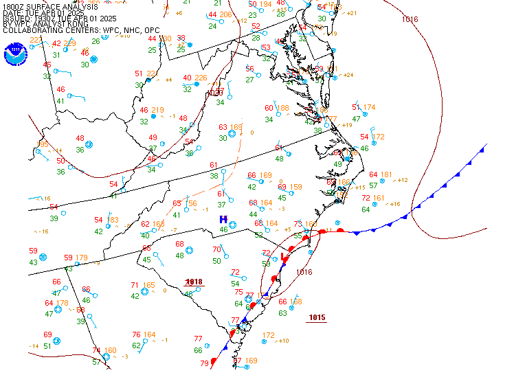
Surface Charts
Surface Temperature
Surface Dew Point
Regional Surface Chart
24-hr Temperature Change
Upper Air Charts
925 mb
850 mb
700 mb
500 mb
250 mb
CHS Skew-T
FFC Skew-T
Radar
Current Weather
Rivers & Lakes
Satellite
Forecast Maps
Hour by Hour Forecast
Tropical Weather
Graphical Hazards
Climate Plots
Weather Briefing
Regional Observations
Fire Weather
Forecaster's Discussion
Skywarn
Drought
Text Bulletins
Follow us on X
Follow us on Facebook
Follow us on YouTube
CAE RSS Feed

