|
Latest Aviation Discussion
LAST UPDATED:  115 AM MONDAY, NOVEMBER 24 2025

.AVIATION /05Z MONDAY THROUGH FRIDAY/...
Restrictions likely at OGB and AGS this morning.

Surface high pressure will shift offshore leading to stratus
and fog developing near the coast and advecting into the
southern Midlands and CSRA early this morning. Expect periods of
MVFR or IFR ceilings and vsbys at OGB and AGS. DNL may also
experience restrictions but confidence is lower due to the
siting of the terminal. Restrictions will improve after 12Z with
light, east winds from 5 to 7 knots through the afternoon
becoming calm around sunset.

EXTENDED AVIATION OUTLOOK...The next chance of widespread
restrictions will be late Tuesday into early Thursday morning
as deep moisture returns to the area ahead of a front.
|
Terminal Aerodrome Forecasts
 Columbia Metropolitan Columbia Metropolitan
Jim Hamilton-L.B. Owens Airport
Orangeburg Municipal
Augusta Bush Field
Augusta Daniel Field
FAA Links
Flight Delay Information
Federal Aviation Administration
Notices to Airmen
Pilot Guides
ASOS guide for Pilots
Pilot's Guide to Aviation Weather Services
Airport Information
Columbia Metropolitan
Jim Hamilton-L.B. Owens Airport
Orangeburg Municipal
Augusta Bush Field
Augusta Daniel Field
National Weather Service Links
Aviation Weather Center
Aviation Digital Data Services
Storm Prediction Center
Environmental Prediction Center
Atlanta Center Weather Service Unit
Jacksonville Center Weather Service Unit
National Weather Service
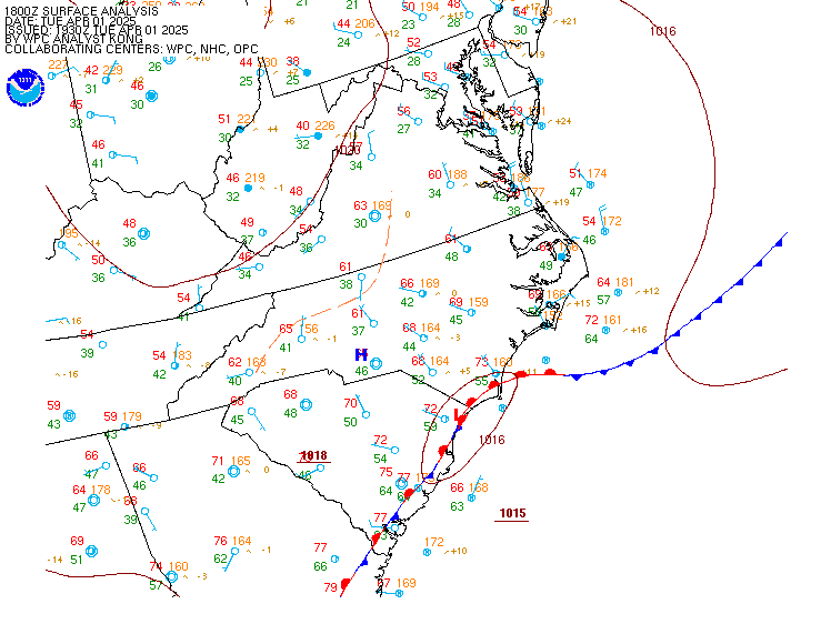
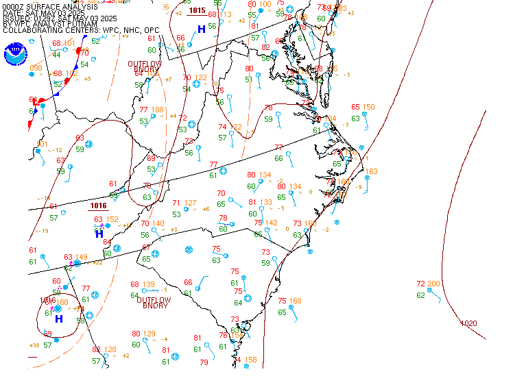
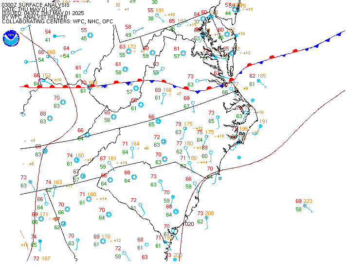
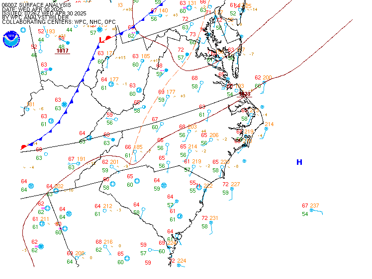
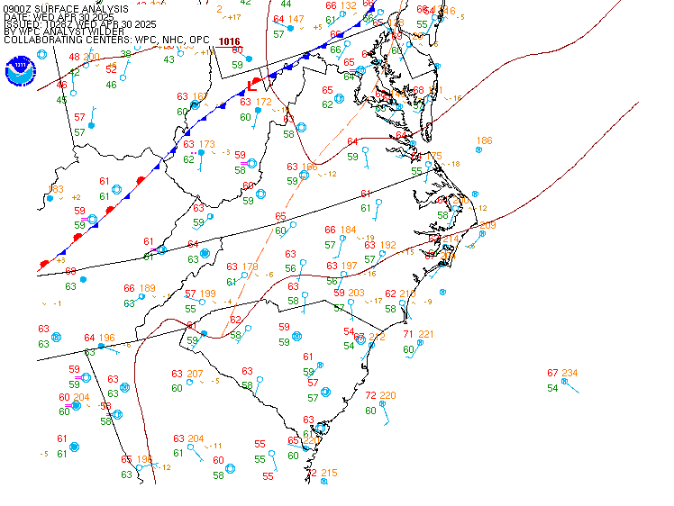
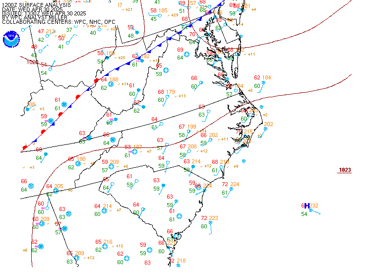
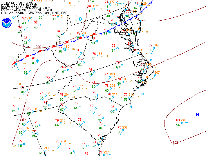
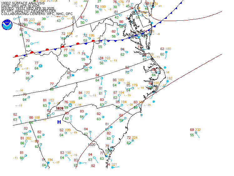
| Current and Recent Mid-Atlantic Surface Analyses |
For local time, subtract 5 hrs during EST (or 4hrs EDT)
(12Z would be 7 am EST)
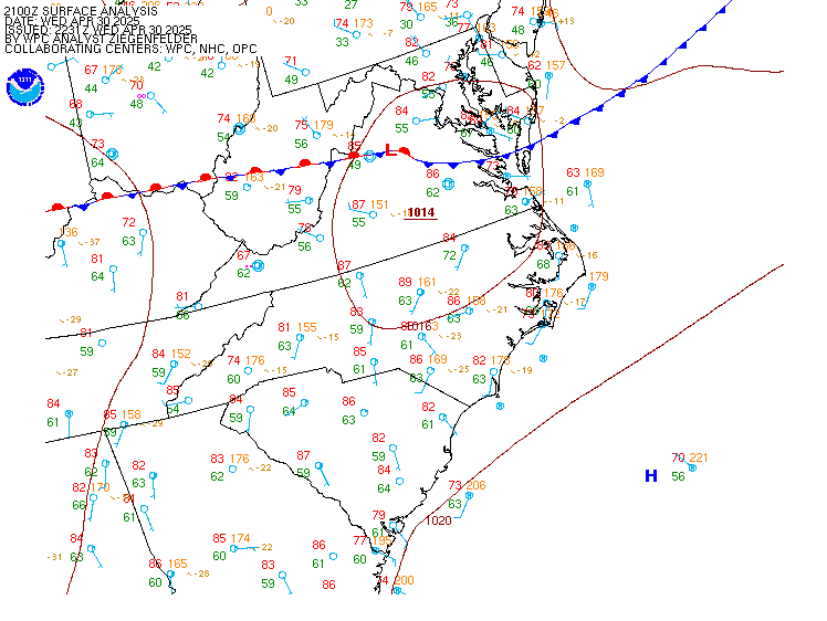
| 00Z | 03Z | 06Z | 09Z | 12Z | 15Z | 18Z | 21Z | Other Plots
Click hour to enlarge, or move mouse over links to change images
 |
If you have any comments or questions concerning this page, please contact
the web team.
|


