
A storm system will shift across the southwest U.S. through Thursday with widespread showers and isolated thunderstorms. Isolated flooding is possible. High-elevation snow is also expected in parts of Nevada and the southern Sierra Nevada range. East of this storm, above average temperatures will challenge or break daily record high temperatures this week in the southern Plains and southeast U.S. Read More >
Overview
|
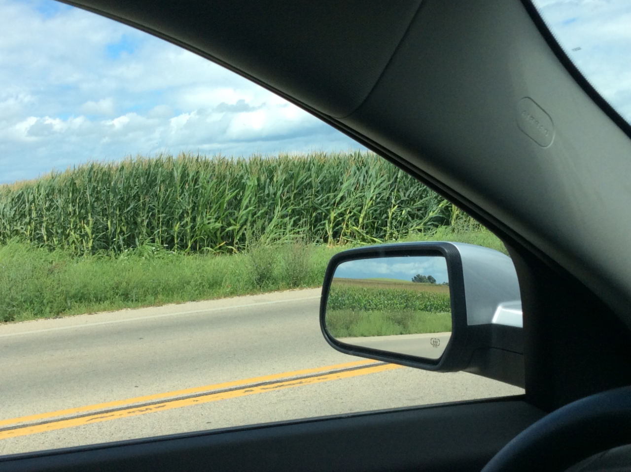
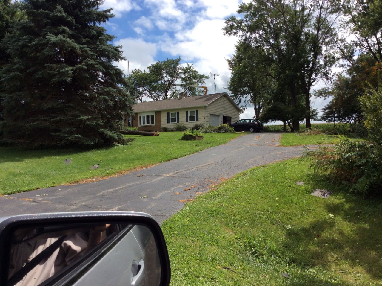
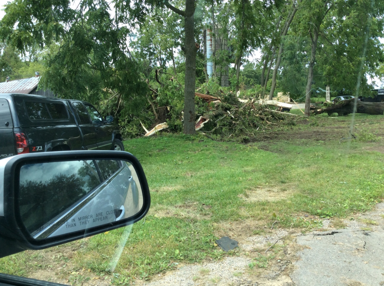
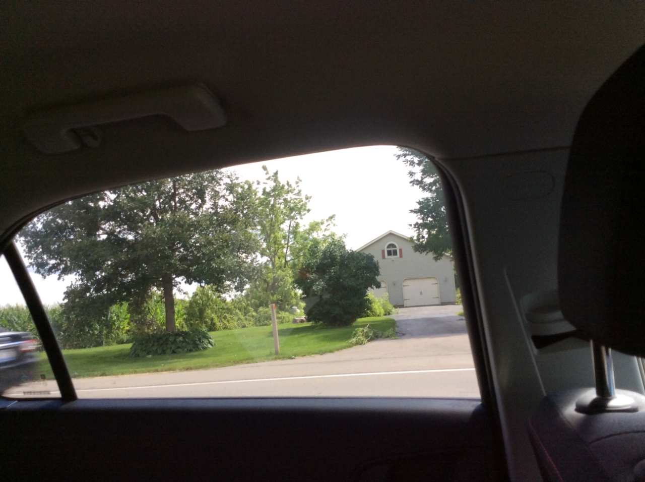
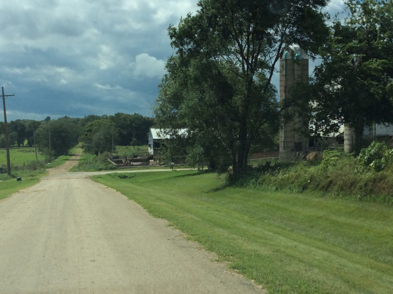
Scattered showers with a few embedded thunderstorms tracked northeast across areas generally north of I 80 the afternoon and evening of August 16, as a warm front lifted into east central Iowa and northwest Illinois. Between 720 and 7:30 pm, one shower located along the warm front about 3 miles west of Freeport, IL produced two tornadoes, which caused some minor damage to a house; as well as some crop and tree damage. Another brief tornado occurred approx 5 mi WNW of Elizabeth, IL where extensive tree damage was seen. South of Interstate 80, showers more isolated in nature were observed. Elsewhere, partly to mostly cloudy skies prevailed, with temperatures in the low to mid 80s. |
 Interactive Radar Loop |
Tornadoes:
|
Tornado 1 - 5 West of Freeport, IL
Track Map 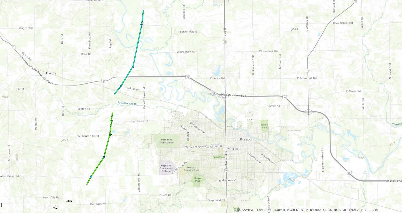  |
||||||||||||||||
|
Tornado 2 - 4.5 NW of Freeport, IL
Track Map |
||||||||||||||||
|
Tornado 2 - 4.8 WNW of Elizabeth, IL
Track Map 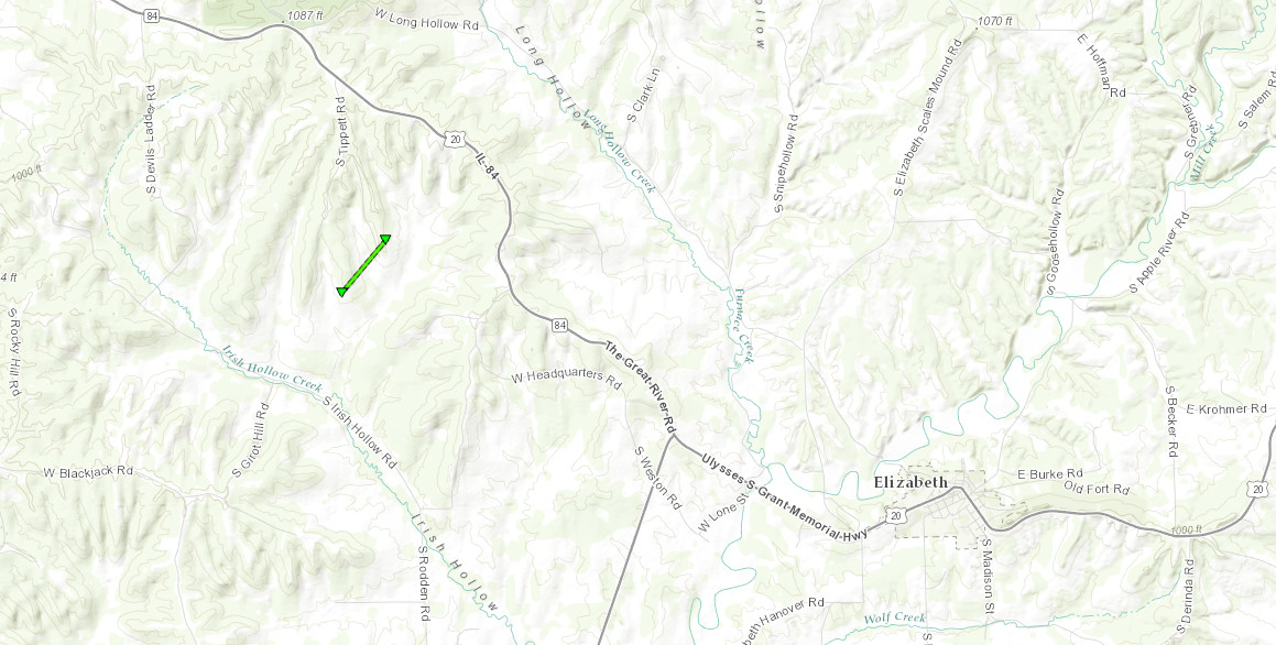 |
||||||||||||||||
The Enhanced Fujita (EF) Scale classifies tornadoes into the following categories:
| EF0 Weak 65-85 mph |
EF1 Moderate 86-110 mph |
EF2 Significant 111-135 mph |
EF3 Severe 136-165 mph |
EF4 Extreme 166-200 mph |
EF5 Catastrophic 200+ mph |
 |
|||||
Photos & Video:
 |
 |
 |
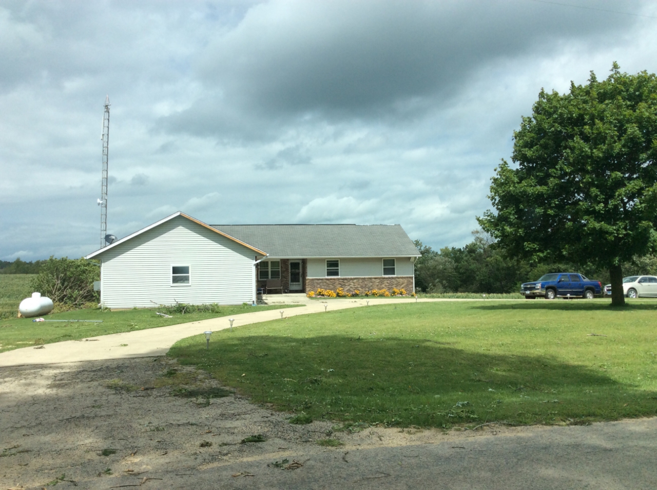 |
| Pearl City RD (survey) |
Bolton RD (survey) |
Stephenson St RD (survey) |
Stephenson St RD (survey) |
 |
 |
 |
|
| Lily Creek RD (survey) |
US 20 BR (survey) |
Oxbow RD (survey) |
|
 |
Media use of NWS Web News Stories is encouraged! Please acknowledge the NWS as the source of any news information accessed from this site. |
|

