Gusty winds are expected from portions of the Mid-Atlantic into the Northeast through the night following the system that brought rain to the area. An atmospheric river will move into the Northwest late today into Saturday bringing moderate to heavy rainfall, mountain snow, windy conditions, and high surf to the area over the weekend. Read More >
Grand Junction, CO
Weather Forecast Office
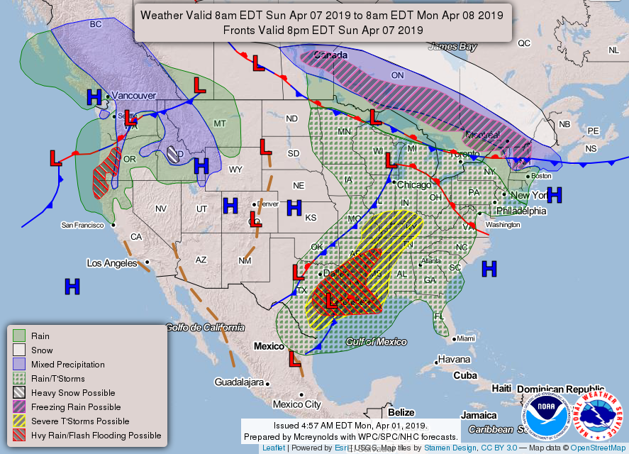
Warm southerly winds will be increasing the next few days leading to a return to above normal temperatures across the region. A cold front will bring snow to eastern UT and western CO on Sunday. This cold front will barrel through quickly on Sunday from west to east, bringing a short but breezy period of snow showers to the region. Light accumulations are expected at valley locations, and preliminary numbers show the mountains of eastern UT and western CO receiving about 3-6” of snow out of this system. If traveling Sunday across Utah and Colorado, be ready for quickly deteriorating conditions as this cold front passes through.

Forecasts For Selected Cities Across E.Utah And W.Utah
Valid Forecast Map
Hazards
Detailed Hazards Viewer
National Briefing
Outlooks
Transportation Decision Support
Winter Storm Severity Index
Forecasts
Aviation Weather
Fire Weather
Forecast Discussion
Forecast Points
Local Area
Severe Weather
Soaring Forecast
Winter Weather
Hydrology
Recreational River Report
River Forecast
Weather Safety
Preparedness
NOAA Weather Radio
StormReady
SkyWarn
US Dept of Commerce
National Oceanic and Atmospheric Administration
National Weather Service
Grand Junction, CO
2844 Aviators Way
Grand Junction, CO 81506-8644
970-243-7007
Comments? Questions? Please Contact Us.


