
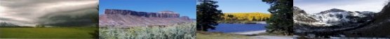
Showers, along with a few strong to severe thunderstorms, are expected from the Great Lakes, New England and southward into the Ohio and Tennessee Valleys. In the wake of this system, a stronger storm is expected to track from the Pacific Northwest, Plains and through the Eastern U.S. this weekend. Strong winds, showers and a larger drop in temperatures are expected this weekend into Monday. Read More >
Grand Junction, CO
Weather Forecast Office
|
|
|
|
|
 |
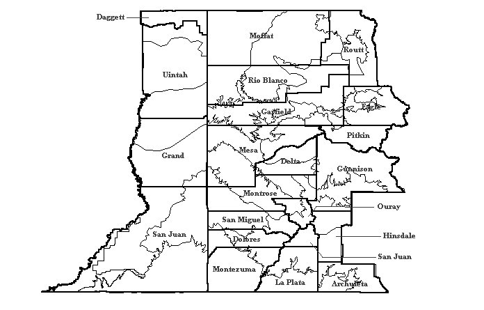 |
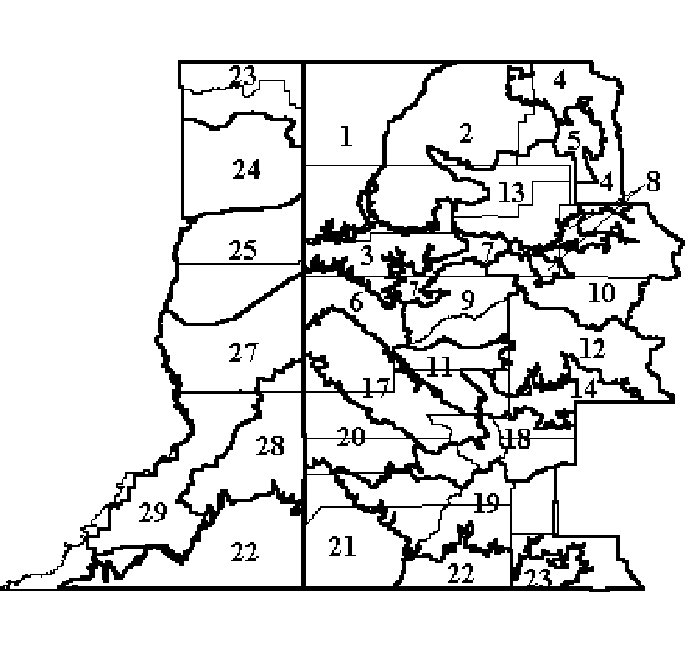
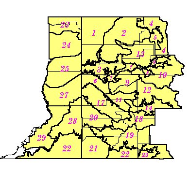
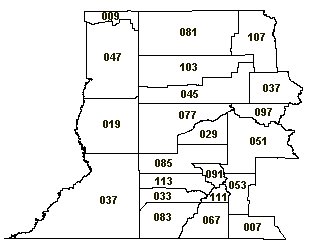
| This is a printable version of the Grand Junction CWA Zone Map. The zones are bolded, with county boundaries in the lighter shade. Just click on the image for a larger version. | This is a map of the counties in western Colorado and eastern Utah. The zone boundaries are also present on this map. The county lines are bolded. Just click on the image for a larger version. |
Hazards
Detailed Hazards Viewer
National Briefing
Outlooks
Transportation Decision Support
Winter Storm Severity Index
Forecasts
Aviation Weather
Fire Weather
Forecast Discussion
Forecast Points
Local Area
Severe Weather
Soaring Forecast
Winter Weather
Hydrology
Recreational River Report
River Forecast
Weather Safety
Preparedness
NOAA Weather Radio
StormReady
SkyWarn
US Dept of Commerce
National Oceanic and Atmospheric Administration
National Weather Service
Grand Junction, CO
2844 Aviators Way
Grand Junction, CO 81506-8644
970-243-7007
Comments? Questions? Please Contact Us.

