
A cold front will cross the Great Lakes and Northeast U.S. through Monday with gusty winds and areas of rain showers. A strong atmospheric river is expected to move into the Pacific Northwest by midweek bringing a threat for moderate to heavy rainfall, gusty winds, and mountain snows for parts of Washington, Oregon, northern California, and the Sierra Nevada. Read More >
|
Current Conditions and Seven Day Forecast |
||
| Severe Weather | Winter Weather |
Day 1
Text |
 Categorical Outlook |
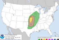 Tornado Probabilities |
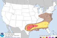 Hail Probabilities |
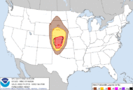 Wind Probabilities |
Day 2
Text |
 Categorical Outlook |
 Probabilistic Outlook |
Day 3
Text |
 Categorical Outlook |
 Probabilistic Outlook |
 Current Mesoscale Discussions |
 Current Severe Weather Watches |
 Ohio Valley Radar Loop |
 Central KY/Southern IN Radar Loop |
 Ohio Valley Visible Satellite Image (Loop) |
 Ohio Valley Infrared Satellite Image (Loop) |
 Today's Local Storm Reports |
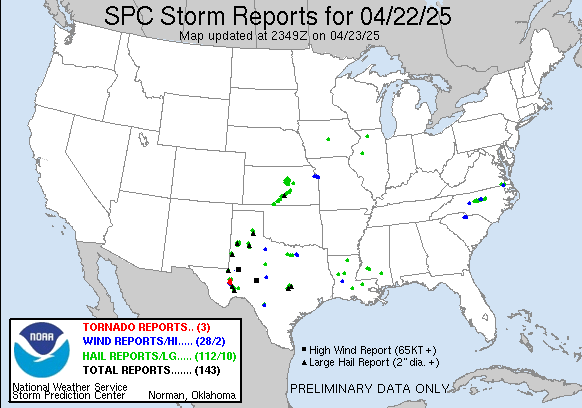 Yesterday's Local Storm Reports |
Use the slider bar below to view forecast probability of precipitation in 12-hour increments along with other forecast parameters. The map will update automatically. Use your mouse to zoom into/pan around on the map.
| Tweets by @NWSLouisville |