Louisville, KY
Weather Forecast Office
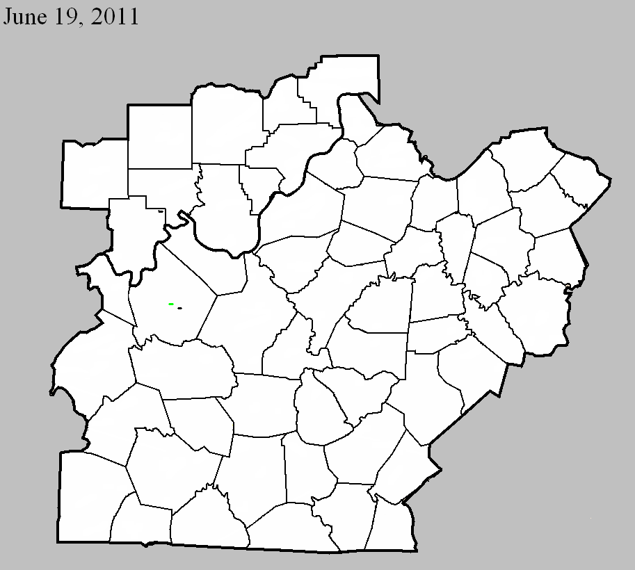
June 19, 2011
Counties: Perry
EF-Scale: EF-0
Deaths: 0
Injuries: 0
Path width: 70 yards
Path length: 0.2 mile
Time: 6:31am CDT
Notes: Ten trees were uprooted, blown over, or snapped on either side of Route 66 north of Oriole.
June 19, 2011
Counties: Breckinridge
EF-Scale: EF-2
Deaths: 0
Injuries: 0
Path width: 180 yards
Path length: 1 mile
Time: 6:39am CDT
Notes: The tornado touched down at the west end of A.H. Wilson Road with EF-0 strength and a width of 60 yards. A dozen trees were snapped, uprooted, and twisted. A barn collapsed when an oak tree fell on it. A rock garden was blown 25 yards upwind. The tornado proceeded to Route 79/259 and struck a home just north of A.H. Wilson Road with EF-2 strength. A roof was torn off and thrown 60 yards. A 30x50 foot barn was thrown 200 yards and metal sheeting was thrown 300 yards. A second barn had metal sheeting thrown 500 yards. Power lines were leaning over Route 79/259. The tornado dissipated after snapping and uprooting a few trees between Route 79/259 and Harned Locust Hill Road.
June 19, 2011
Counties: Breckinridge
EF-Scale: EF-0
Deaths: 0
Injuries: 0
Path width: 60 yards
Path length: 0.1 mile
Time: 6:43am CDT
Notes: On Route 1401 southeast of Harned a large well constructed barn, 30x50x80 feet, lost roof panels that were thrown 200 yards.
Current Hazards
Hazardous Weather Outlook
Storm Prediction Center
Submit a Storm Report
Advisory/Warning Criteria
Radar
Fort Knox
Evansville
Fort Campbell
Nashville
Jackson
Wilmington
Latest Forecasts
El Nino and La Nina
Climate Prediction
Central U.S. Weather Stories
1-Stop Winter Forecast
Aviation
Spot Request
Air Quality
Fire Weather
Recreation Forecasts
1-Stop Drought
Event Ready
1-Stop Severe Forecast
Past Weather
Climate Graphs
1-Stop Climate
CoCoRaHS
Local Climate Pages
Tornado History
Past Derby/Oaks/Thunder Weather
Football Weather
Local Information
About the NWS
Forecast Discussion
Items of Interest
Spotter Training
Regional Weather Map
Decision Support Page
Text Products
Science and Technology
Outreach
LMK Warning Area
About Our Office
Station History
Hazardous Weather Outlook
Local Climate Page
Tornado Machine Plans
Weather Enterprise Resources
US Dept of Commerce
National Oceanic and Atmospheric Administration
National Weather Service
Louisville, KY
6201 Theiler Lane
Louisville, KY 40229-1476
502-969-8842
Comments? Questions? Please Contact Us.


 Weather Story
 Weather Map
 Local Radar