
A slow-moving storm system will continue to produce widespread heavy showers and thunderstorms which may bring excessive rainfall and flooding across the Mid-Atlantic region today and tonight. Hot, dry and breezy conditions will continue to support critical fire weather in the northern Plains and Upper Midwest today. Critical fire weather is also forecast in Arizona, New Mexico, and west Texas. Read More >
Light snow will continue to fall this morning into the early afternoon as low pressure passes by to our south. A bit of Lake enhanced snow is possible along Lake Michigan before snow tapers off. Storm total snow accumulations in the 1 to 4 inch range are expected. This will be a dry, fluffy snow and wind gusts of 15 to 30 mph could cause some low visibilities as the snow blows about.
A Winter Weather Advisory has been posted for southern Wisconsin, as illustrated below:
 |
The below graphics illustrate the latest snowfall totals expected across southern Wisconsin, and all of Wisconsin:
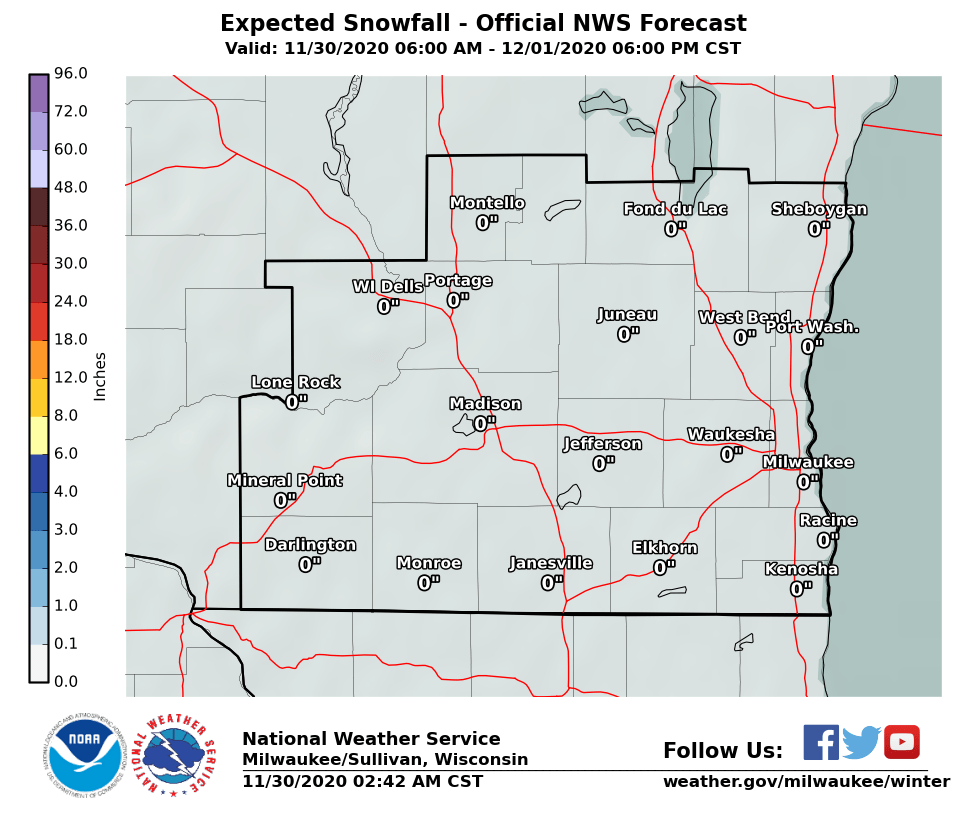 |
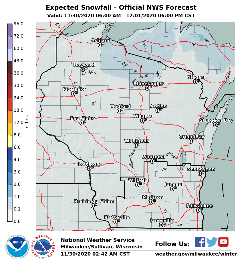 |
Here are the latest local and regional radar animations:
| Local Radar | Regional Radar - West View |
Regional Radar - East View |
 |
 |
 |
Hourly snowfall amounts for a few locations are here.
Send us your snow report here. If blowing snow and drifting is happening, please take an average of several measurements.
Check out our Winter Weather page for more information. Also, take a look at our Probablistic Snowfall Experimental page, with shows the maximum and minimum range of snowfall potential with this system. Be sure to leave feedback on your thoughts about the Probablistic Snowfall Experiment.
Stay tuned for later updates on the expected winter weather for tonight into Tuesday, as we continue to fine tune the forecast.
See our latest Hazardous Weather Outlook for more general information on weather hazards expected over the next week.
Here is our latest Area Forecast Discussion for a more technical discussion of the forecast.
Wood/MBK/MG/Schultz/Halbach/SPM
NWS Milwaukee/Sullivan, WI

