National Weather Service United States Department of Commerce

Tracking Two Storms Impacting the Northern U.S. Through Thanksgiving and into This Weekend

Heavy lake effect snow and gusty winds, including some local blizzard conditions, will continue into Thanksgiving Day across the Great Lakes then lingering through Friday night for Lakes Erie and Ontario. Confidence is increasing for another winter storm to develop over the northern and central Rockies Friday and track across the central Plains through the Midwest and Great Lakes this weekend. Read More >

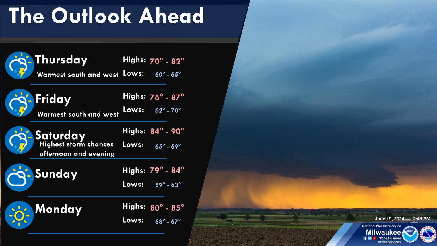
Timeline of weather outlook through the holiday weekend. Blustery winds into Thanksgiving with much colder temps and overnight single digit winds chills into Friday. Snow potential continues for the weekend with likely impacts from wherever the snow sets up.
Blustery winds continue tonight into Thanksgiving morning. Also will see much cold temps with winds chills in the teens to single digit.
There is a persisting signal for accumulating snow for southern WI this weekend, thus confidence is growing for travel and snow impacts. This looks to be a long-duration snow beginning late Friday night and continuing into Sunday. Greatest impacts are looking to be during the day Saturday. Details on snow amounts and locations WILL CHANGE leading into the event as it is too early to tell any specifics. Any minor shifts in the system's track, temps, snow rates, and banding setup will all play a role in snow amounts and impact locations. We encourage you to stay up to date with the latest forecast and emails over the next few days as the forecast becomes more refined.