National Weather Service United States Department of Commerce

Heavy Rainfall and Flooding Concerns in the Southwest; Coastal Low to Impact the East Coast

Deep tropical moisture will lead to widespread showers and thunderstorms capable of producing flash flooding through early next week over the Southwest and Four Corners. A coastal storm is expected to develop off the southeast U.S. coast tonight and is expected to strengthen and bring flooding, dangerous rip currents, gusty winds and heavy rain up much of the East Coast through early next week. Read More >

Click a location below for detailed forecast.

Last Map Update: Fri, Oct 10, 2025 at 3:32:45 pm EDT


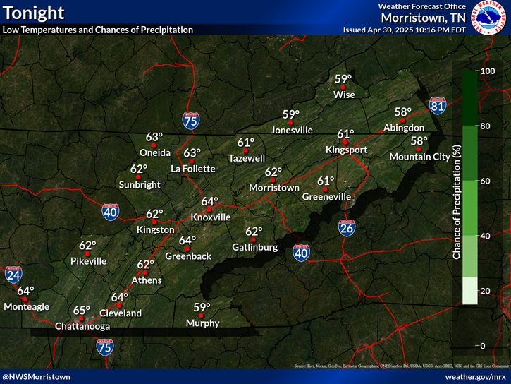
Tonight will be slightly cooler than last night with many places dropping into the 40s and even upper 30s for some in southwest Virginia and far East Tennessee. This will be followed by a slow warming trend and no rainfall forecast for at least the next week.
Dry and sunny with high pressure. Seasonable temperatures and dry weather will persist this weekend through early next week.
Each observation point is apart of our COOP program (Cooperative Observer Program). Each site has a 24 hour observation period that ends and begins at 8 am local time. Each site records temperature, precipitation, and snowfall data. More information about the COOP program can be found here www.nws.noaa.gov/om/coop/ Data began being collected at: Cades Cover on 01/01/1999 || Mount LeConte on 07/01/1987 || Newfound Gap on 01/01/1991 || Sugarlands Visitor Center on 12/01/1921

 Current Weather Observations...
Location Time
(EDT)
Weather Vsby.
(SM)
Temp.
(ºF)
Dewpt.
(ºF)
Hum.
(%)
Wind
(mph)
Wind Chill / Heat Index
(ºF)
Pres.
(in)
Abingdon VA15:15Clear10663937VRB 5-30.26
Andrews-Murphy NC15:08Clear10725045W 7-30.22
Chattanooga TN14:53Partly Cloudy10765243NNW 5-30.19
Crossville TN14:53Mostly Clear10715250-30.23
Dalton GA15:15Clear10745348CALM-30.17
Knoxville TN (McGhee-Tyson)14:53Mostly Clear10725045VRB 5-30.21
Middlesboro KY15:15Partly Cloudy10724944SSE 3-30.23
Monroe Cnty TN14:55Clear10735756VRB 5-30.20
Morristown TN14:55Mostly Clear10694846CALM-30.23
Oak Ridge TN14:53Clear10715250CALM-30.23
Tazewell Cnty VA15:15Clear10623841CALM-30.28
Tri-Cities TN14:53Mostly Clear10694338VRB 3-30.25
Wise VA15:15Clear10624451CALM-30.29
Greeneville, TN14:55Clear10694440SE 3-30.24


Local Weather History For October 10th...
In 1970, lightning struck an elementary school in Maryville. No injuries.


Briefing Hydrology Past Weather Events Graphical Hazardous Weather Outlook for East Tennessee East Tennessee Observations
Decision Support Hydrology Past Weather Events GHWO Observations Gridded Forecast
Daily Climate for Middle Tennessee Local East Tennessee Climate Tornado Database Tropical Weather Information NOAA Weather Radio
IDSS Point Forecasts Daily Climate Local Climate Tornado Database Tropical Weather Radio
Daily Climate for Middle Tennessee Probabilistic Data for East Tennessee Virtual Tour of the NWS Morristown Office Skywarn Spotter Training for East Tennessee  
Being Prepared Estar Perparado Probabilistic Virtual Tour Spotter Training