

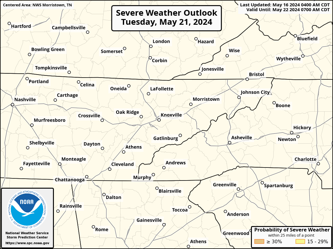
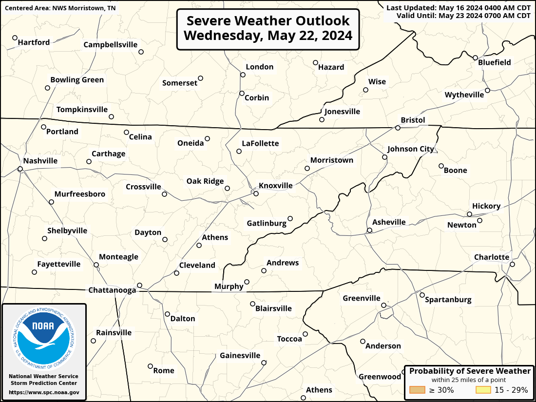
Thunderstorm Outlook Graphics
|
|
 |
Forecast Maximum Wind Gusts (MPH)
|
|
 |
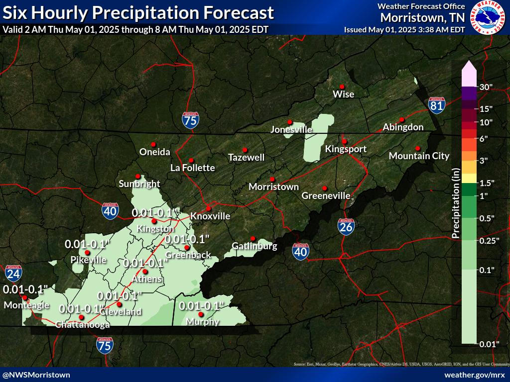
Rainfall Amounts (inches)
|
|
 |
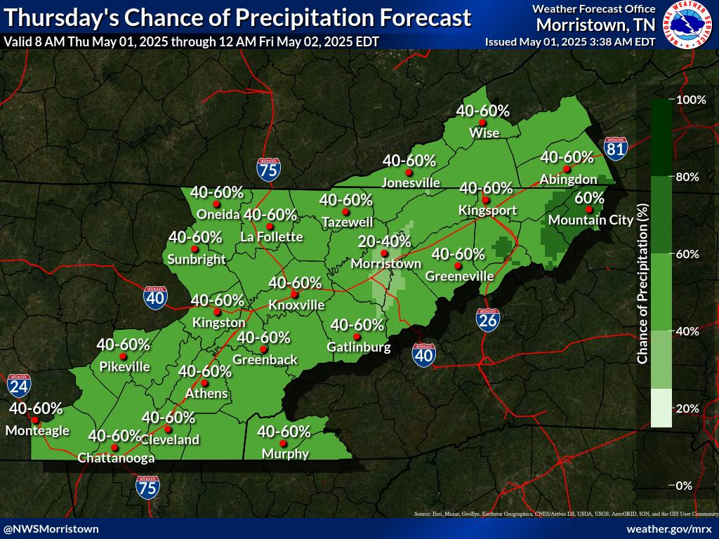
Probability of Precipitation
|
|
 |
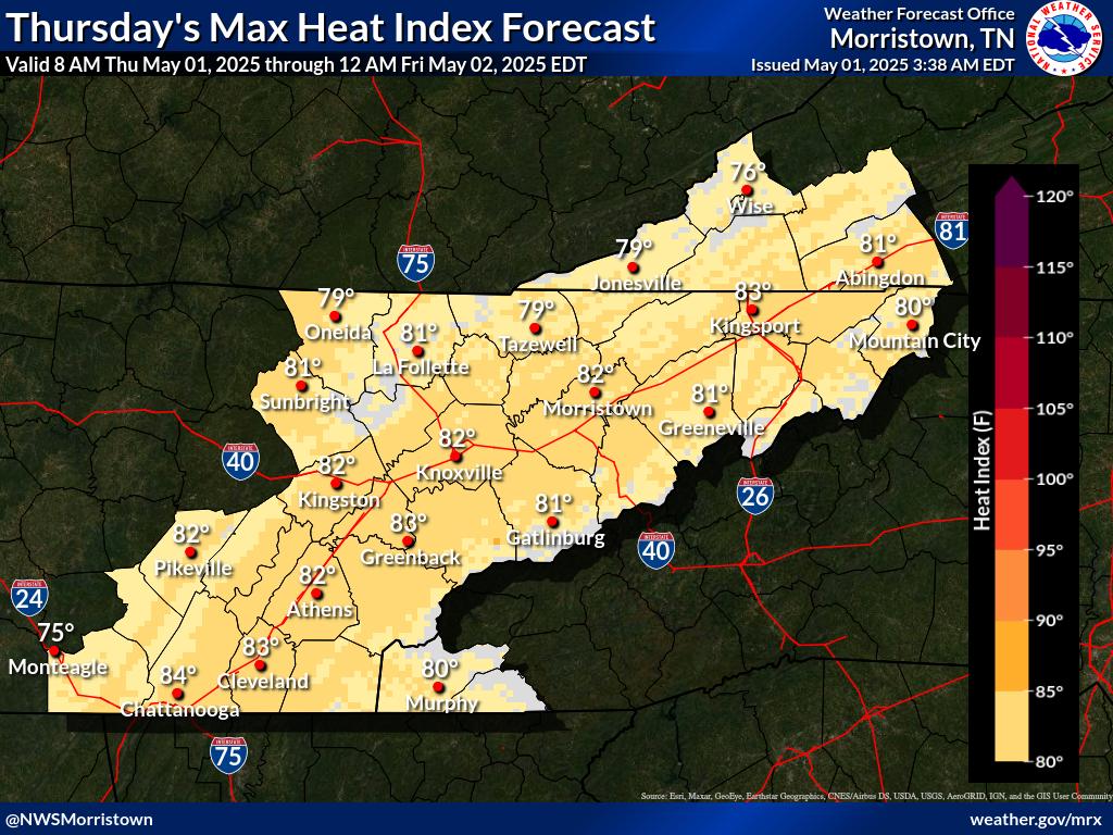
Maximum Heat Indexes (°F)
|
|
 |

A cold front will sweep eastward today accompanied by strong to severe thunderstorms for the mid-Atlantic and Northeast today. In the wake of this cold front, autumn like temperatures and gusty winds from the Plains, Mississippi Valley, Great Lakes to most of the eastern seaboard. Fire weather conditions for lower Mississippi Valley into portions of California. For Guam, a typhoon is approaching. Read More >
| Severe Storms | Flooding | Winter | Fire Weather | |
Thunderstorm Outlook Graphics
Forecast Maximum Wind Gusts (MPH)
Rainfall Amounts (inches)
Probability of Precipitation
Maximum Heat Indexes (°F)
Click on any image below to view a full screen version
|




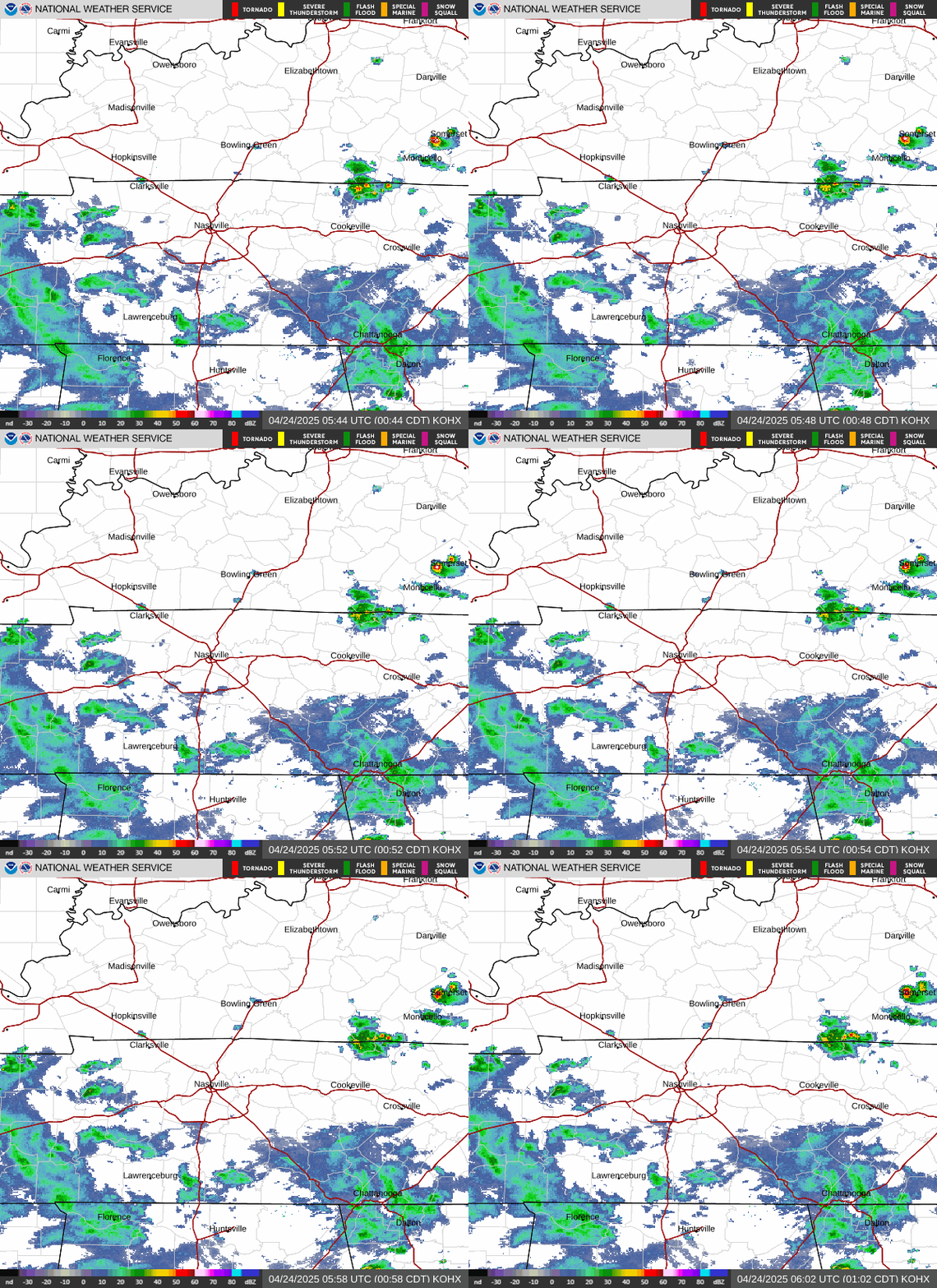
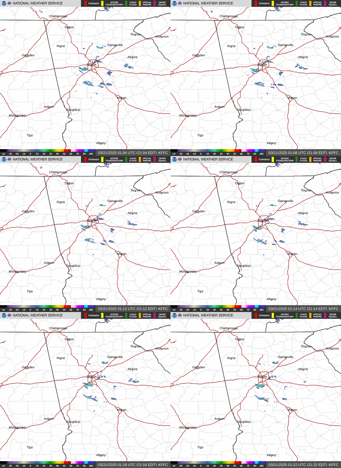
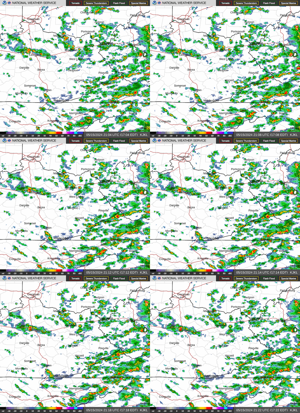
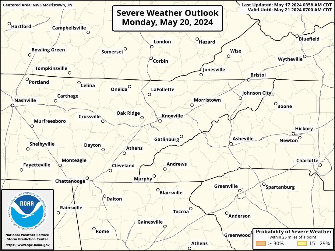
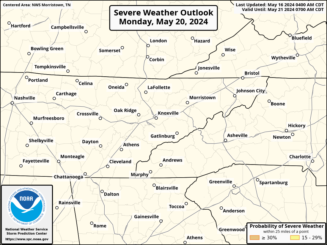

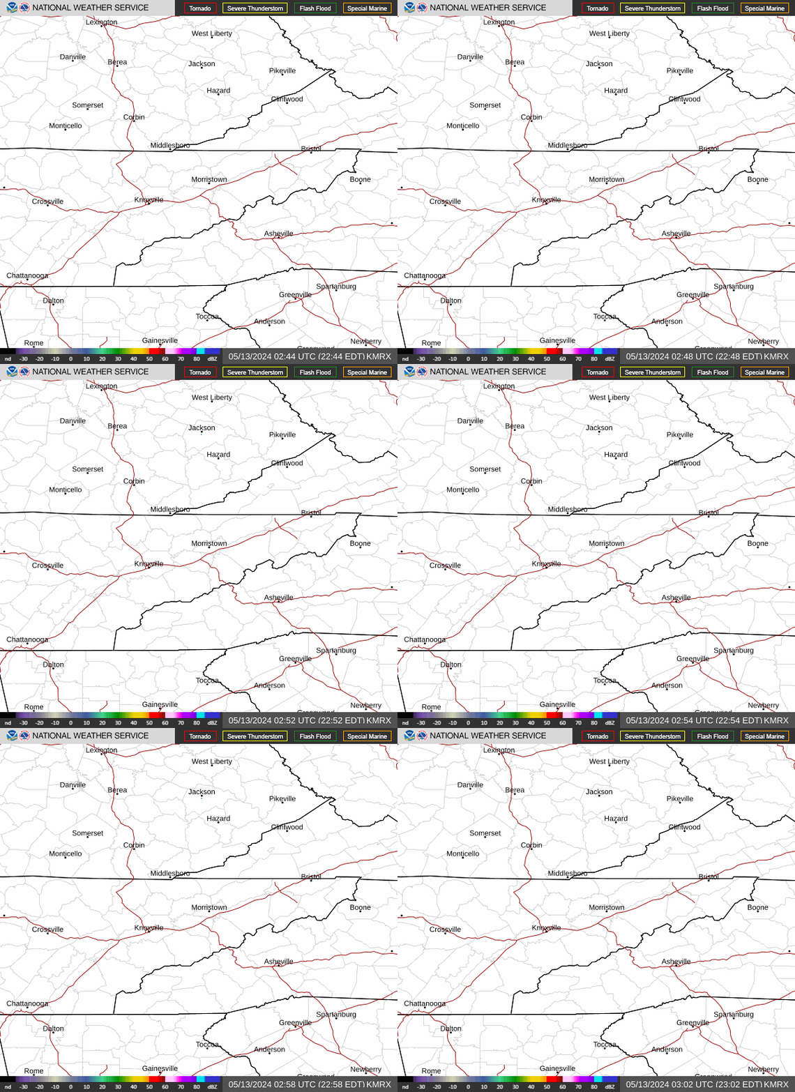 Local Radar
 Regional Satellite
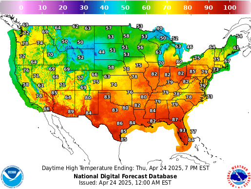 Graphical Forecast
 Weather Map
 Follow us on X
 Follow us on Facebook
 Follow us on YouTube
 MRX RSS Feed