1. The forecast represents the expected average conditions near the point of interest chosen.
2. Wind direction and speed may vary from the official forecast, due to channeling or eddying, especially in bays and coves, and downwind from points.
3. Within the forecast product, a "-" symbol represents values of less than 15% in the thunder category where a "+" symbol represents 100% in the sky, precip, and thunder categories.
Click a lake icon on the map to display the forecast for that lake, or scroll down the page for text links to all the forecasts.



 Local Radar
 Huntsville Radar
 Regional Satellite
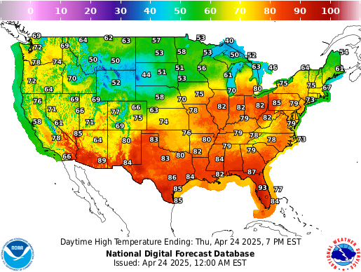 Graphical Forecast
 Weather Map
 Follow us on X
 Follow us on Facebook
 Follow us on YouTube
 MRX RSS Feed