
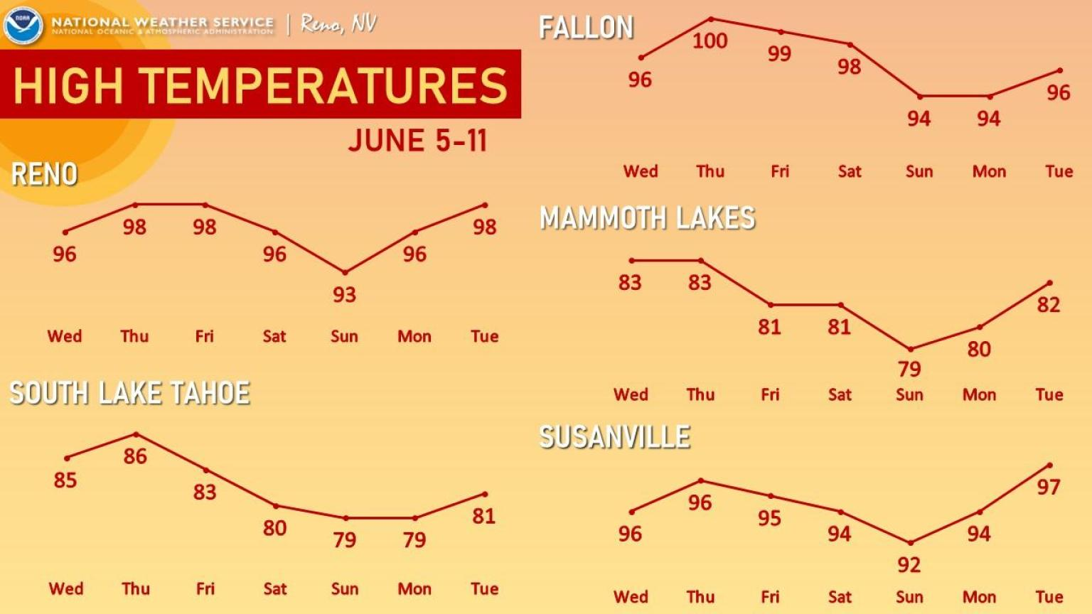
Widely scattered severe thunderstorms may produce damaging winds, hail, and flash flooding from the southern Plains into the lower Great Lakes. Elevated to locally critical fire weather conditions will persist across portions of the Southwest and Southern High Plains due to gusty winds and dry conditions. An early-season heatwave will challenge temperature records across the eastern U.S.. Read More >
Last Map Update: Tue, May 19, 2026 at 8:40:27 pm PDT
|
Text Product Selector (Selected product opens in current window)
|
|


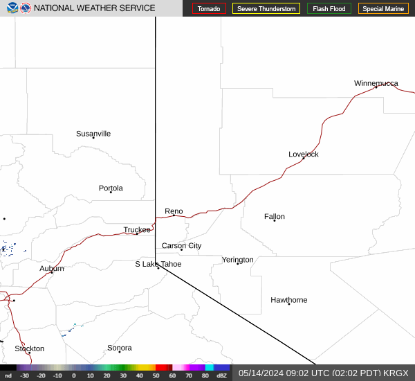 Radar
Radar Satellite
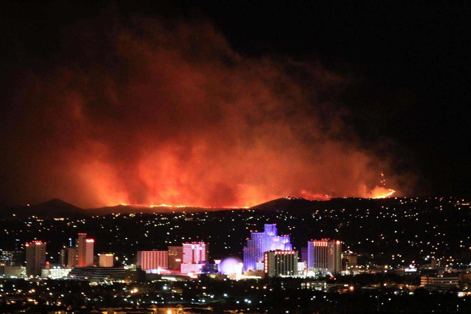 Fire Weather
 Lake Forecasts
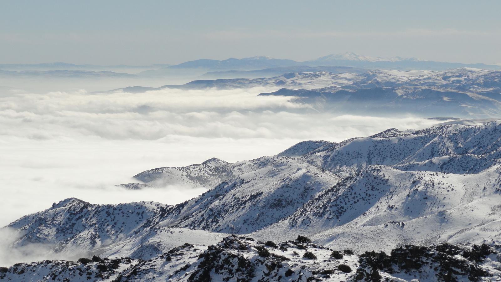 Snow & Avalanche
 Weather Stats
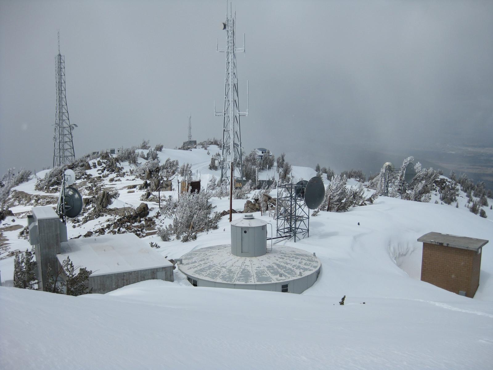 Mountain Observations & Remote Data
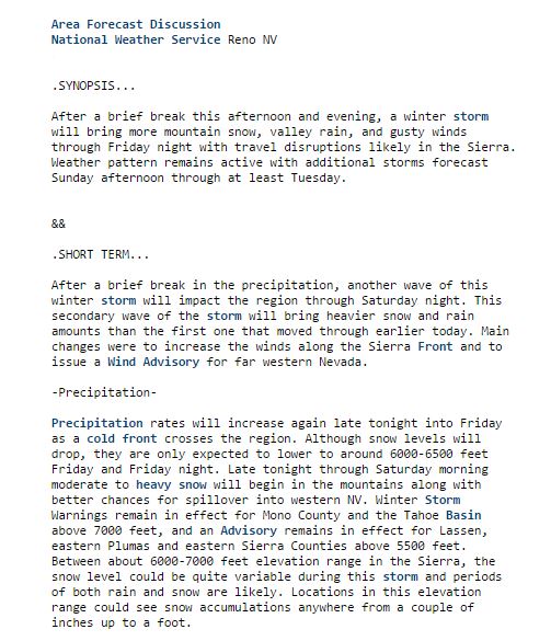 Forecast Discussion
 Graphical Forecasts
 Forecast Weather Table