
Dangerous and extreme heat will remain across portions of the Central U.S. this week, persisting across the Mid to Lower Mississippi Valleys, Gulf Coast, Southern Plains and portions of Texas. A heat wave over the Southwest will intensify late this week. Severe thunderstorms and flash flooding will spread from the Great Lakes/Ohio Valley to the Mid-Atlantic and Northeast the next few days. Read More >
Overview
A dynamic, deepening upper level low moved from southern NM at lunchtime Wed to near Dalhart by midnight on December 26th. SSE low level flow brought mid 50s surface dewpoints to the southern TX Panhandle as a surface low deepened over the western TX Panhandle during the afternoon. It was a somewhat atypical set up with some strong convection along a Pacific front arcing across West Texas. Sunshine east of the convection tried to deepen the mixed layer. As the upper low deepened, backing mid level winds disrupted favorable shear profiles. As the afternoon rolled on, increasingly veer-back-veer soundings noted a hinderence to supercell formation. However, the backing aloft was strong enough that a left-moving supercell could not be ruled out.
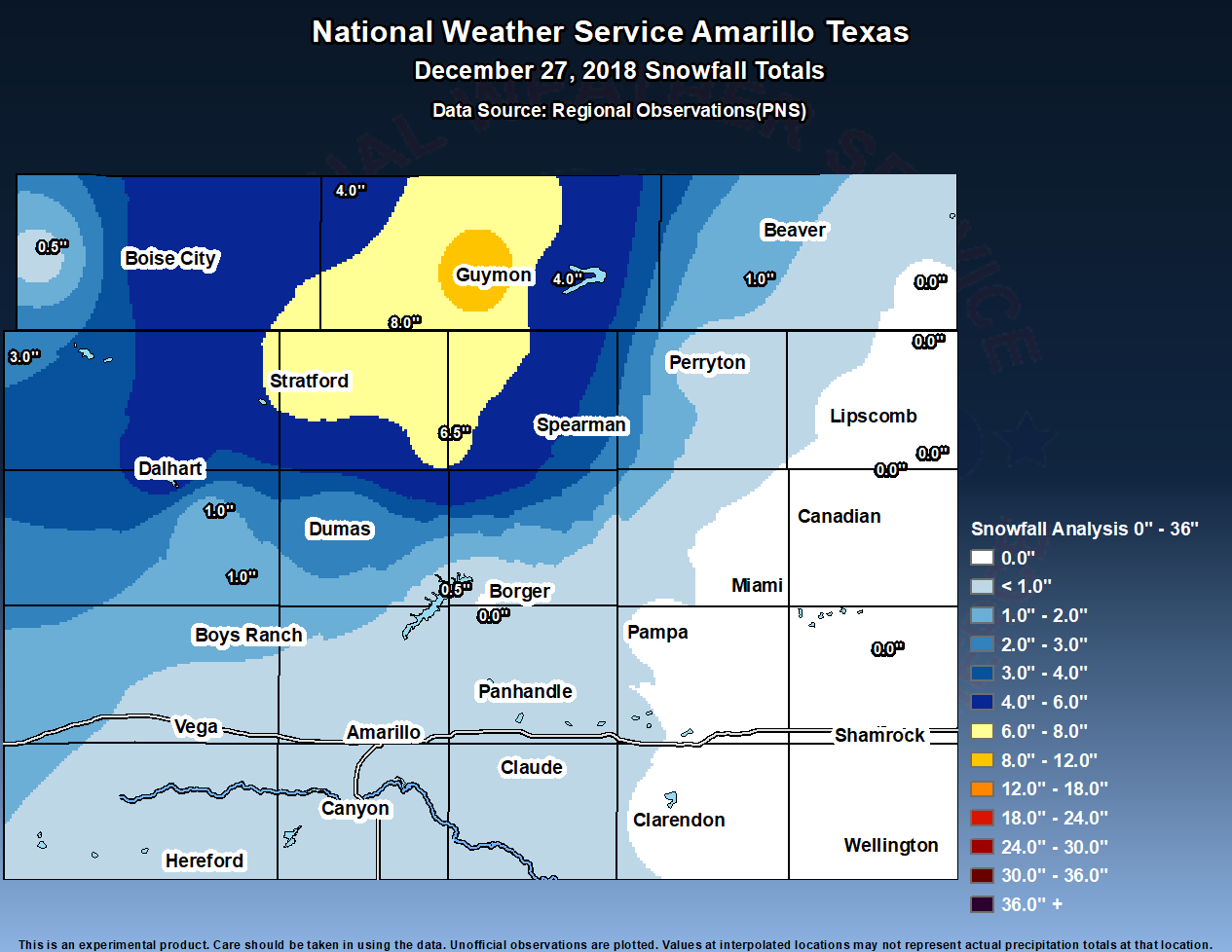
Ultimately, hail up to quarter size and a brief EF-0 tornado occurred in the southern TX Panhandle on the afternoon of December 26th. The severe weather was short lived, as it was then followed up with a concern for snow potential for the northwestern Panhandles overnight. As the surface cyclone built northeast into Kansas, wrap around snow became the main focus. Guidance 925, 850, and 725 mb frontogenesis fields indicated a deep area of deformation present across our far northwestern CWA. Banding snowfall ended up causing upwards of 10 inches of snow in Guymon, OK overnight from December 26th into the morning of December 27th. Wind gusts above 30 mph made blowing snow conditions feel like a blizzard for those particularly in Cimarron, Dallam, and Hartley counties.
Tornadoes, Wind & Hail:
|
Tornado - Southeast Clarendon
Track Map 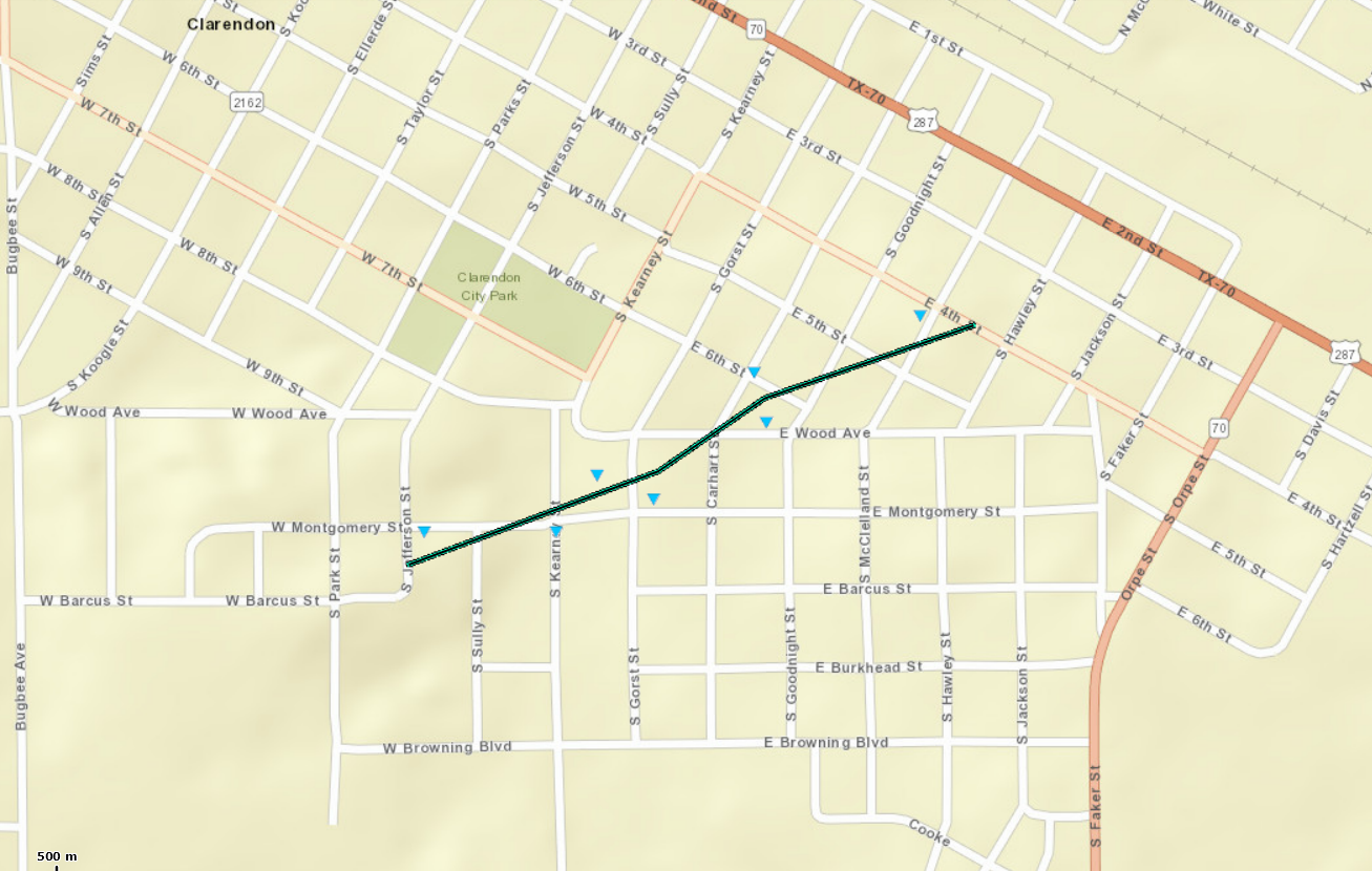
|
||||||||||||||||
The Enhanced Fujita (EF) Scale classifies tornadoes into the following categories:
| EF0 Weak 65-85 mph |
EF1 Moderate 86-110 mph |
EF2 Significant 111-135 mph |
EF3 Severe 136-165 mph |
EF4 Extreme 166-200 mph |
EF5 Catastrophic 200+ mph |
 |
|||||
Besides the tornado, several reports of penny to quarter size hail were seen in Randall County and the McLean West Texas Mesonet site reported winds of 56 mph.
Rain/Snow
Between the rain and snow on December 26-27th, the Panhandles received quite a bit of well needed moisture. Below are 2 graphics for the 24hr liquid precipitation amounts ending on the 27th and 28th.
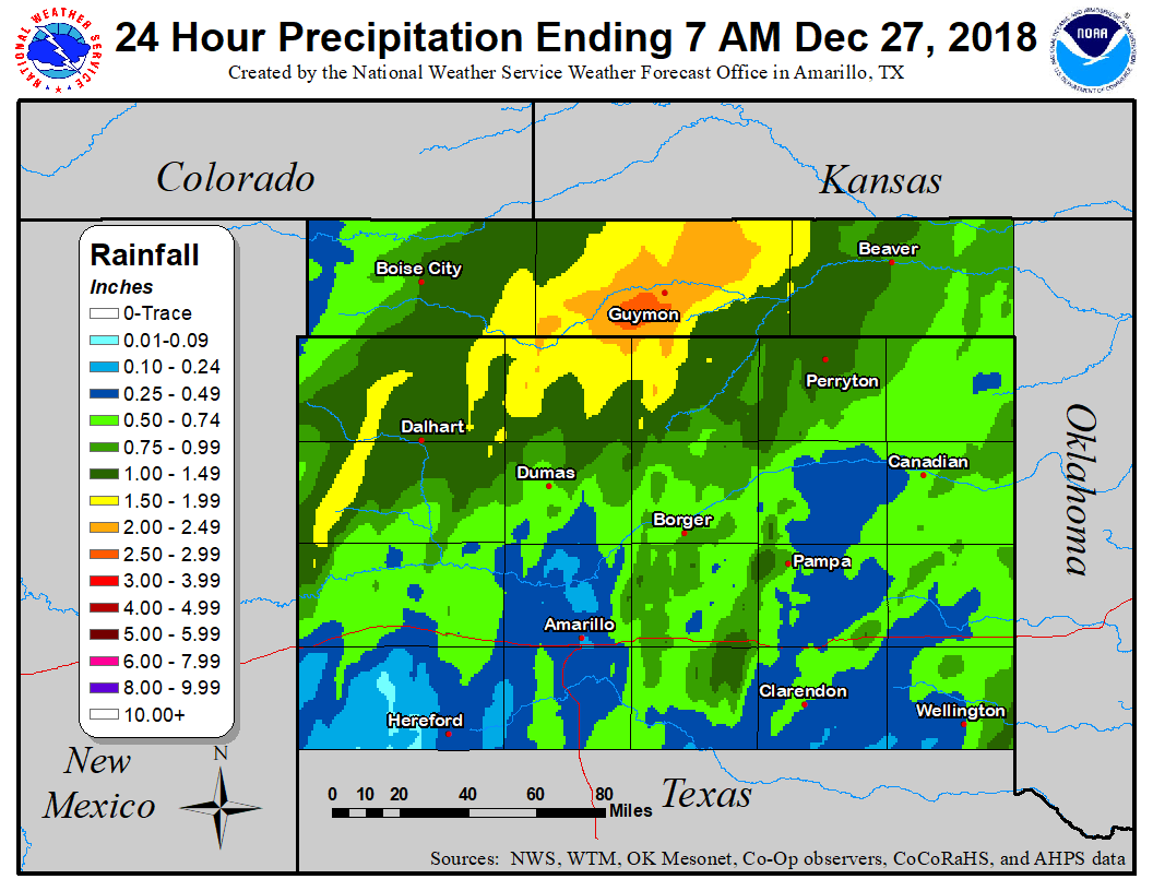
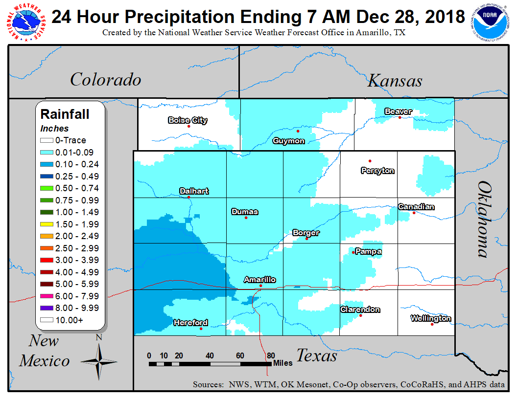
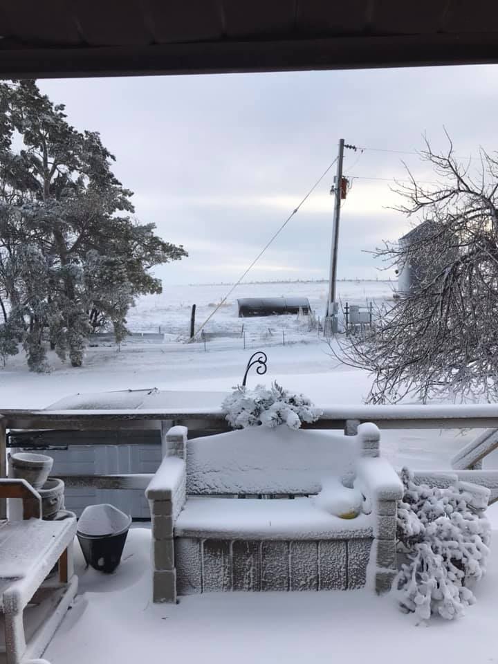
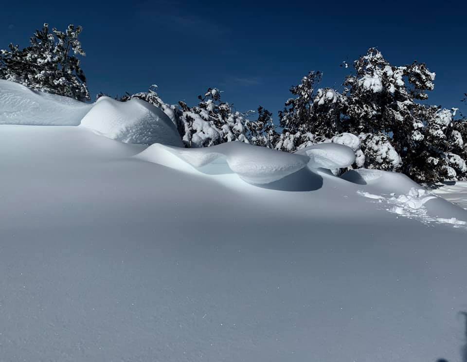
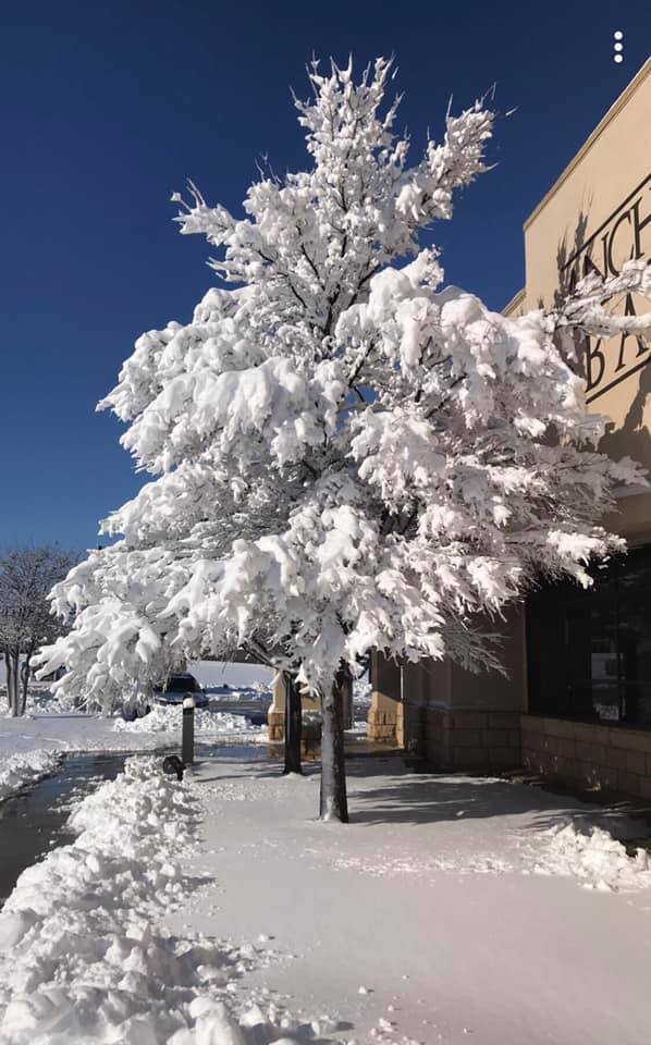
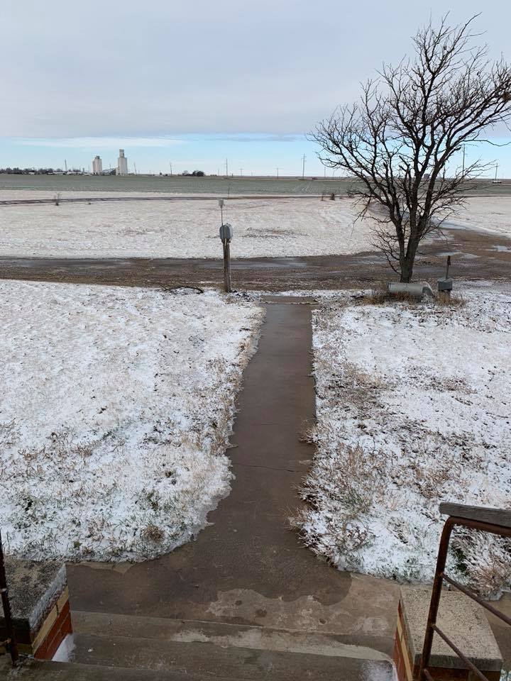
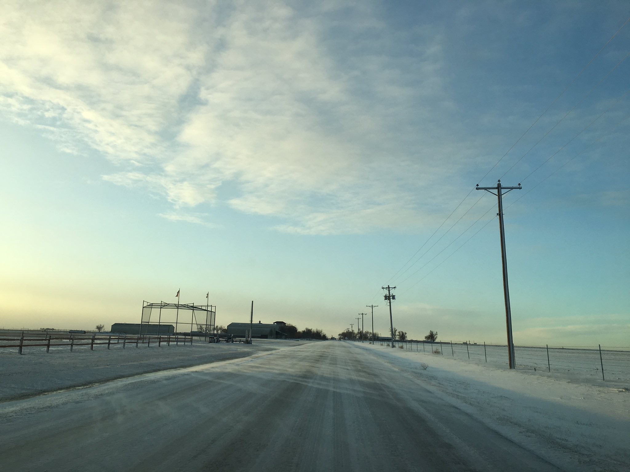
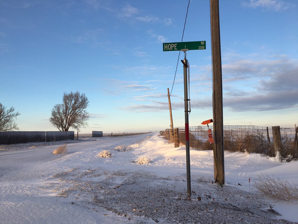
The snowfall totals from overnight on December 26th through the 27th brought most of the area some white stuff just 2 days after Christmas.
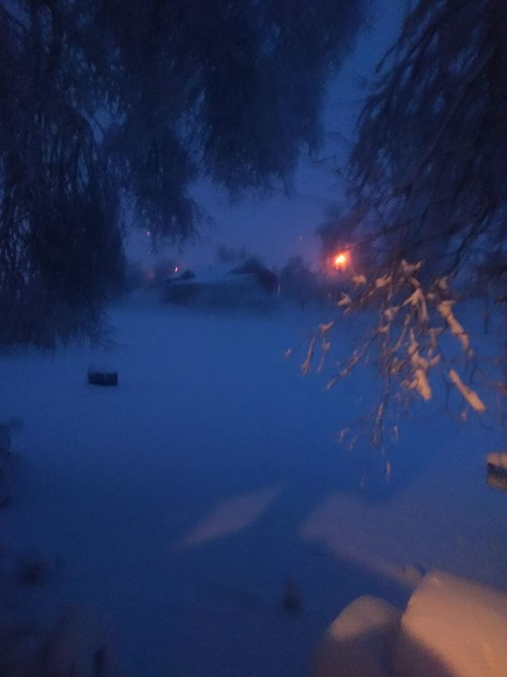
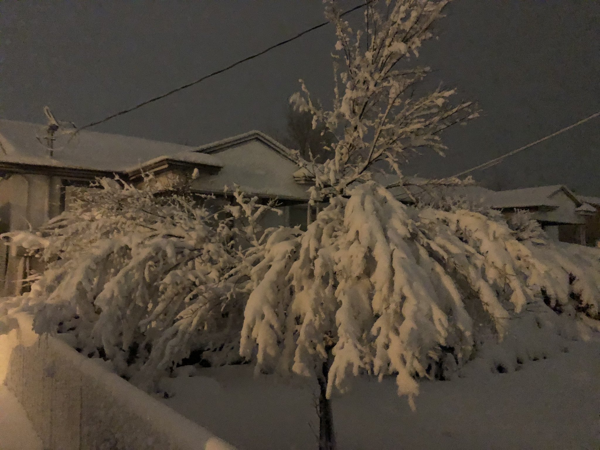
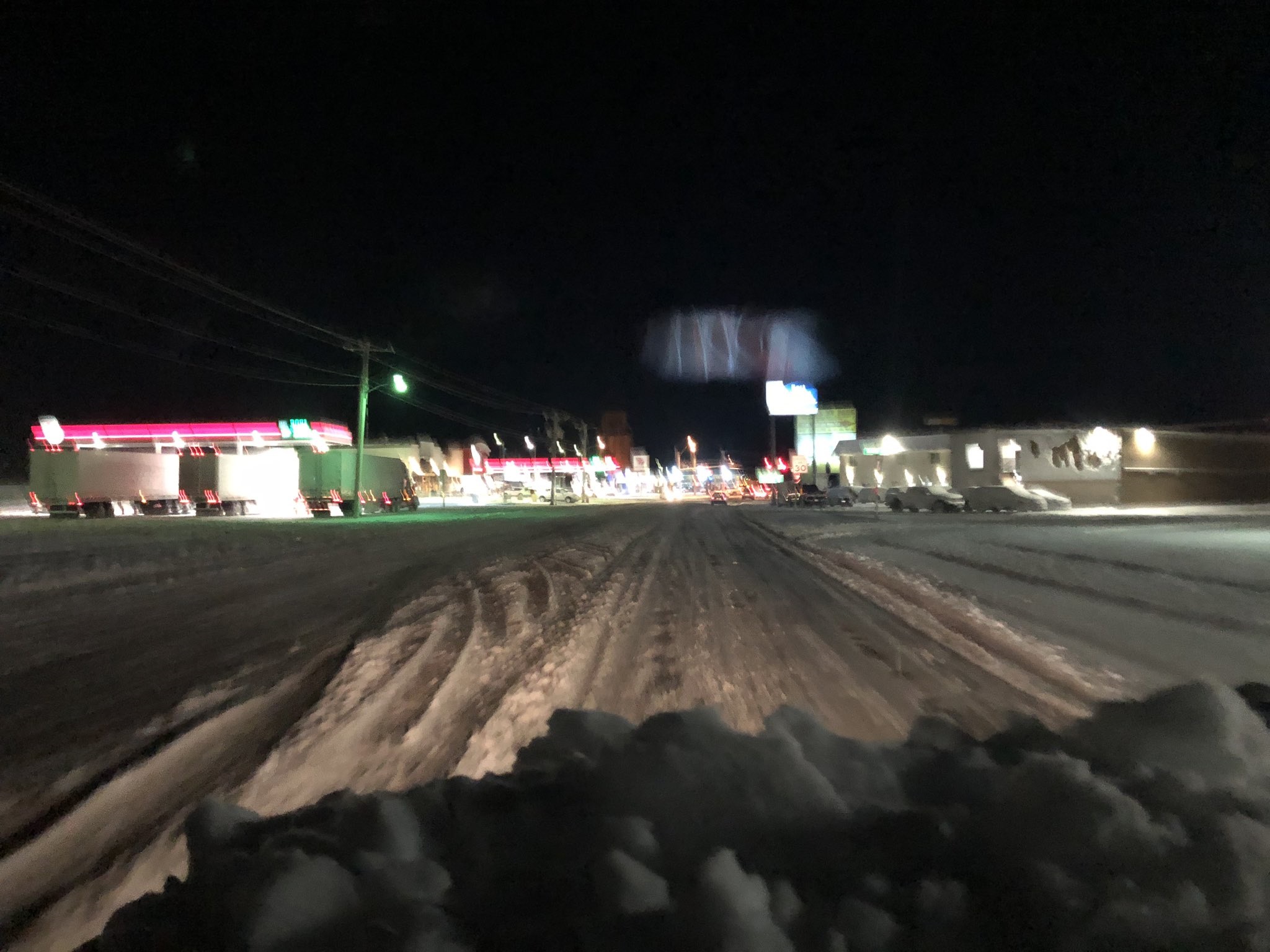
Photos & Video
 |
 |
 |
 |
|
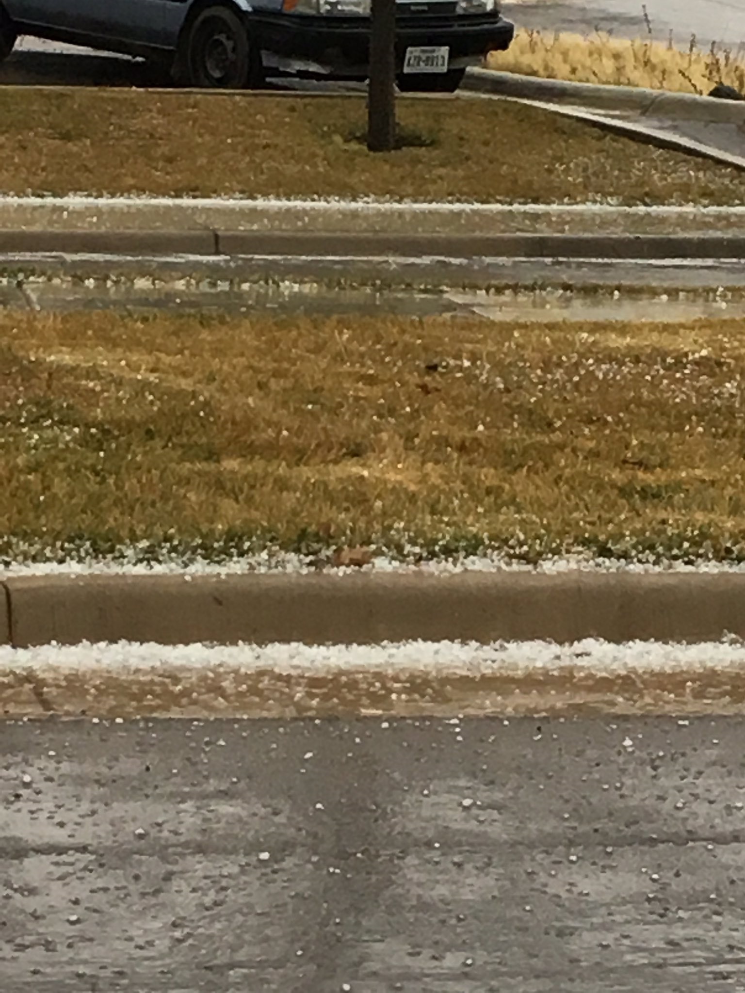
Pea to dime size hail in Amarillo (Credit: Mike Gittinger) |
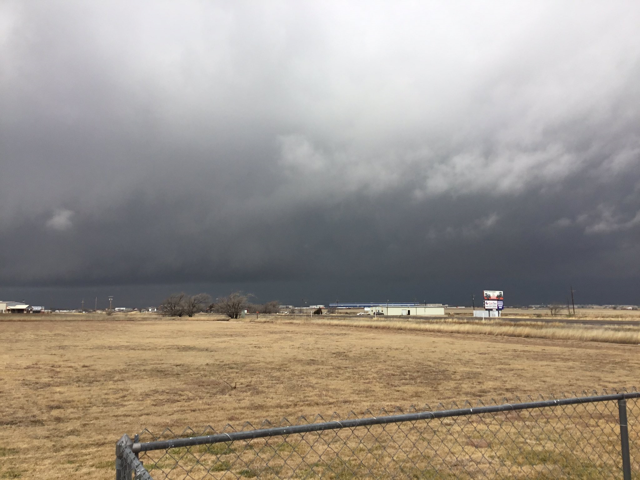
Dark clouds at the NWS Amarillo Office |
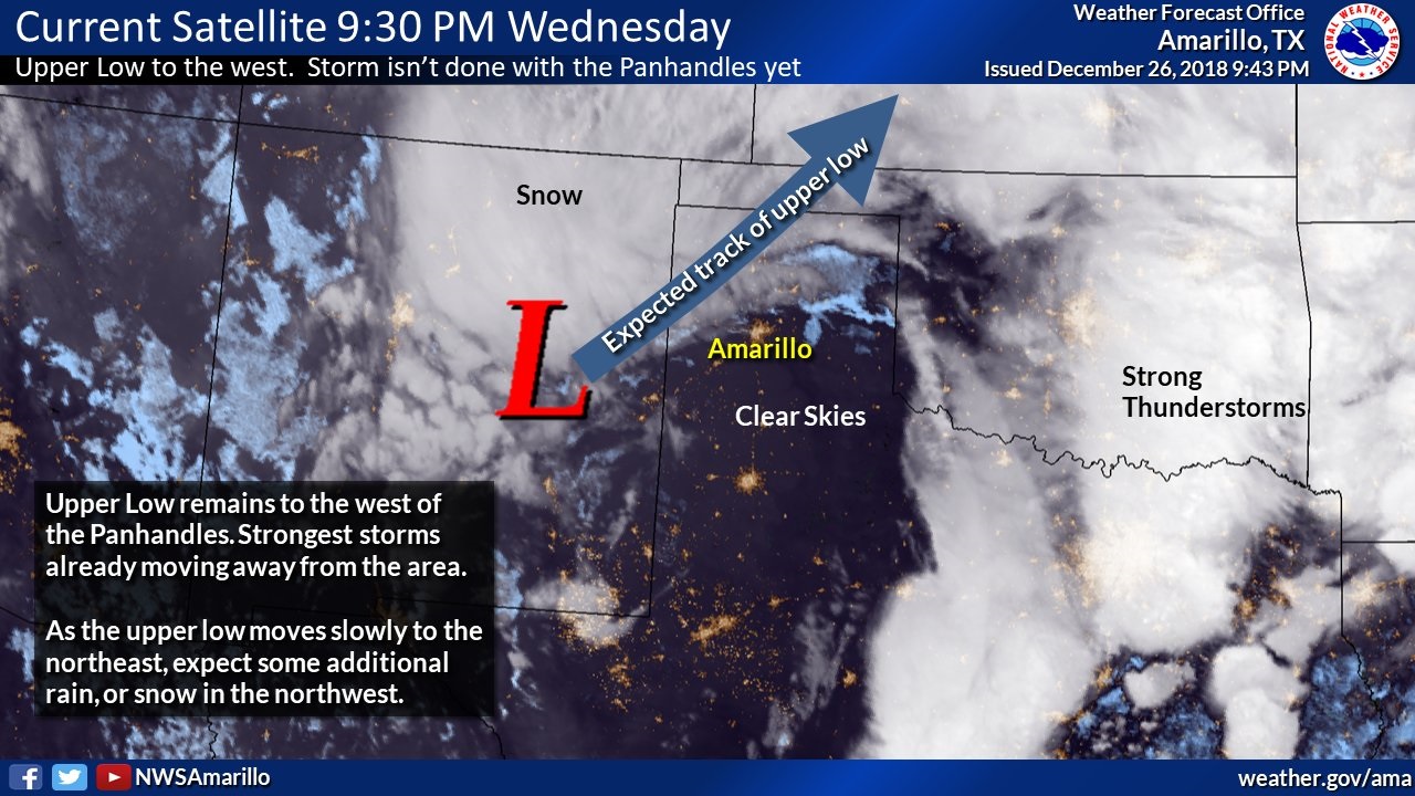
Satellite on 9:30pm on Dec 27th Showing T-storms and Snow |
3 West of Slapout (Credit: Rachel on Twitter) |
 |
 |
 |
 |
|
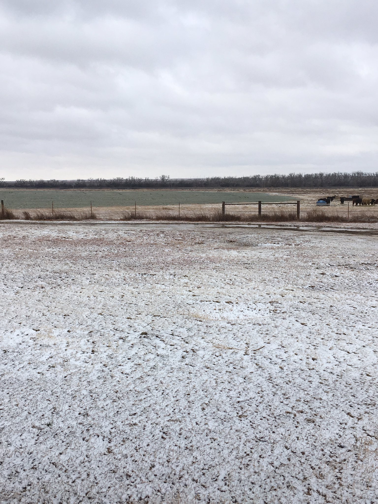
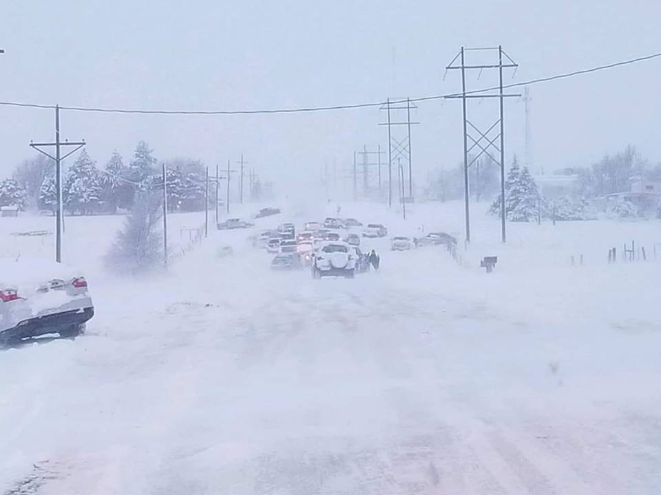
9 SW of Elkhart, KS
|
Early morning on 27th in Guymon, OK
|
Dalhart, TX
|
Hwy 87 in Dalhart, TX
|
 |
 |
 |
 |
|
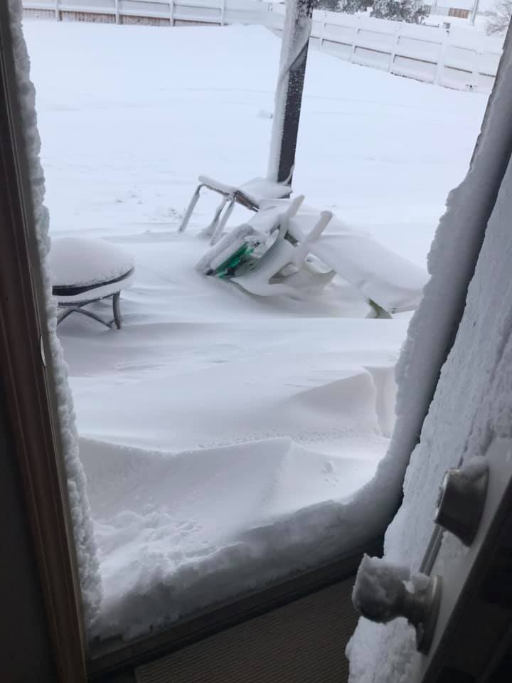
Guymon, OK Dec 27th
|
Goodwell, OK
|
Texhoma, TX
|
Outside of Goodwell, OK
|
 |
 |
 |
 |
|
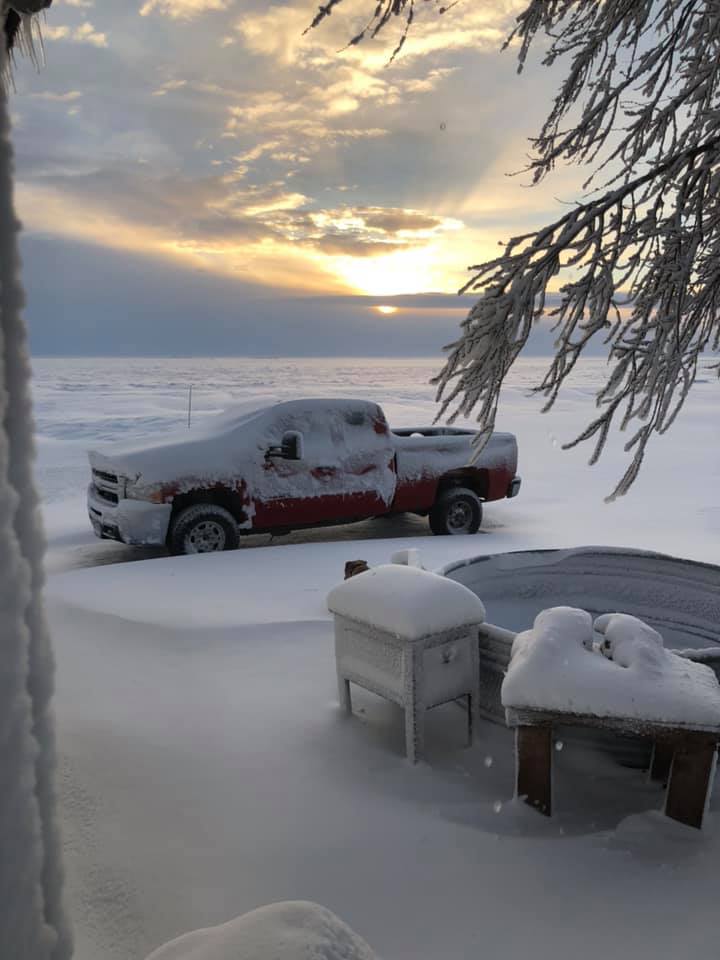
Guymon, OK
|
West Perryton, TX
|
West side of Amarillo, TX
|
West side of Amarillo, TX
|
Storm Reports
| Report Time | County | Location | ST | Event Type | Mag. | Source | Lat | Lon | Remark |
| 12/26/18 15:01 | RANDALL | 6 WNW CANYON | TX | HAIL | 0.75 | PUBLIC | 35.02 | -102.01 | PENNY SIZED HAIL REPORTED NEAR CANYON. |
| 12/26/18 15:06 | RANDALL | 6 NW CANYON | TX | HAIL | 1.00 | TRAINED SPOTTER | 35.05 | -101.99 | QUARTER SIZED HAIL REPORTED JUST SOUTH OF THE RANDALL COUNTY FEED YARD. |
| 12/26/18 15:21 | RANDALL | 7 ESE BUSHLAND | TX | HAIL | 0.75 | NWS EMPLOYEE | 35.17 | -101.94 | |
| 12/26/18 16:02 | POTTER | 6 E BUSHLAND | TX | HAIL | 0.75 | TRAINED SPOTTER | 35.19 | -101.96 | PENNY SIZED HAIL NEAR I-40 AND HELIUM ROAD, JUST WEST OF AMARILLO. |
| 12/26/18 17:05 | GRAY | 1 ENE MCLEAN | TX | TSTM WND GST | 56.00 | MESONET | 35.24 | -100.57 | |
| 12/27/18 5:00 | DALLAM | DALHART | TX | SNOW | 5.00 | TRAINED SPOTTER | 36.06 | -102.51 | |
| 12/27/18 5:22 | SHERMAN | STRATFORD | TX | SNOW | 6.00 | CO-OP OBSERVER | 36.34 | -102.08 | |
| 12/27/18 6:09 | DALLAM | DALHART | TX | SNOW | 4.00 | LAW ENFORCEMENT | 36.06 | -102.51 | |
| 12/27/18 6:15 | SHERMAN | TEXHOMA | TX | SNOW | 8.00 | EMERGENCY MNGR | 36.49 | -101.81 | |
| 12/27/18 6:50 | TEXAS | GUYMON | OK | HEAVY SNOW | 8.00 | EMERGENCY MNGR | 36.69 | -101.48 | ESTIMATED 6 TO 8 INCHES OF SNOW ON GROUND THROUGHOUT TEXAS COUNTY. NUMEROUS ACCIDENTS AND JACKNIFED TRUCKS REPORTED. HIGHWAY 54 CLOSED FROM LIBERAL TO TEXHOMA. |
| 12/27/18 7:00 | DALLAM | TEXLINE | TX | SNOW | 3.00 | COCORAHS | 36.38 | -103.02 | |
| 12/27/18 7:00 | SHERMAN | STRATFORD | TX | HEAVY SNOW | 6.00 | COCORAHS | 36.33 | -102.07 | |
| 12/27/18 7:12 | SHERMAN | STRATFORD | TX | SNOW | 7.00 | DEPT OF HIGHWAYS | 36.34 | -102.07 | |
| 12/27/18 8:28 | CIMARRON | 2 ESE BOISE CITY | OK | SNOW | 2.00 | CO-OP OBSERVER | 36.72 | -102.48 | 2.0" |
| 12/27/18 8:40 | MOORE | DUMAS | TX | SNOW | 2.00 | LAW ENFORCEMENT | 35.86 | -101.96 | |
| 12/27/18 9:00 | TEXAS | 5 WNW HARDESTY | OK | SNOW | 4.00 | COCORAHS | 36.63 | -101.29 | |
| 12/27/18 9:03 | CIMARRON | 2 ESE BOISE CITY | OK | SNOW | 5.00 | CO-OP OBSERVER | 36.72 | -102.48 | |
| 12/27/18 9:53 | DALLAM | TEXLINE | TX | SNOW | 3.00 | EMERGENCY MNGR | 36.38 | -103.02 | |
| 12/27/18 9:54 | HARTLEY | CHANNING | TX | SNOW | 1.00 | CO-OP OBSERVER | 35.68 | -102.33 | |
| 12/27/18 9:59 | HANSFORD | GRUVER | TX | SNOW | 1.00 | TRAINED SPOTTER | 36.26 | -101.41 | |
| 12/27/18 10:00 | RANDALL | 2 WNW CANYON | TX | SNOW | 1.00 | NWS EMPLOYEE | 34.99 | -101.95 | |
| 12/27/18 16:00 | TEXAS | 2 WSW GUYMON | OK | HEAVY SNOW | 10.00 | UTILITY COMPANY | 36.68 | -101.51 | AIRPORT MAINTENANCE ESTIMATES 10 INCHES ON GUY RUNWAYS |
 |
Media use of NWS Web News Stories is encouraged! Please acknowledge the NWS as the source of any news information accessed from this site. |
|

