
Dangerous heat will expand from the Gulf Coast into the Southern Plains and Desert Southwest through week's end. Additional extreme heat impacting the Pacific Northwest will shift to the northern Plains by the weekend. Tropical Storm Bertha is expected to continue to impact portions of the northwestern Gulf Coast from south central Louisiana to the upper Texas coast today. Read More >
Overview
A upper level low pressure system tracked across the Four Corners region towards the Southern High Plains during the early part of the week of February 15. As this system approached the Texas and Oklahoma Panhandles, a cold front slowly moved across the area beginning in the early morning hours of February 15. Behind this front, cold air dropped temperatures below freezing and moisture increased at the low levels. With the upper level system moving closer to the area, this provided enough lift to generate precipitation along and behind the cold front for mainly the northern half of the Panhandles. Snow was the main precipitation type with this system. However, some rain and sleet was also reported in a few locations. Gusty northerly winds also trailed behind the cold front which led to greatly reduced visibilites along with the heavy falling snow. In general, a majority of the northern half of the Panhandles received 2 or more inches of snow with the highest snow total with this system being 8 inches for the far western Oklahoma Panhandle. With temperatures dropping quickly behind the front, any snow and slush that had melted on roadways quickly froze. This caused hazardous driving conditions on the morning of February 16.
Snow/Ice
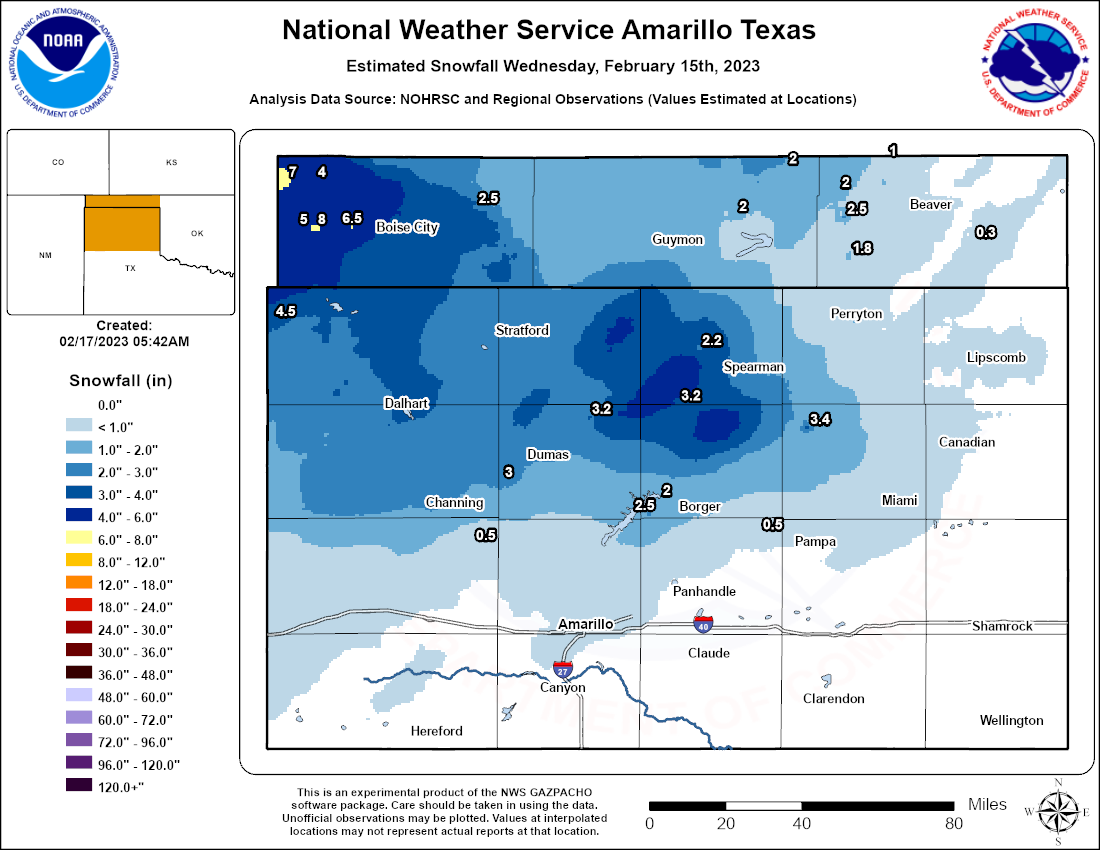 |
| Estimated snowfall map using a combination of reports and radar/satellite observations. Lots of variation in snow amounts is common so this may not exactly match what is in your backyard. (NOHRSC + reports from COOP, CoCoRaHs, and public observers) |
...UPDATED SNOWFALL REPORTS FOR WEDNESDAY FEBRUARY 15TH SNOW EVENT...

Location                     Amount    Time/Date       Lat/Lon
2 ENE Wheeless               8.0 in    0600 AM 02/16   36.73N/102.86W
Kenton                       7.0 in    0507 PM 02/15   36.91N/102.97W
10 E Wheeless                6.5 in    0600 AM 02/16   36.73N/102.72W
2 WNW Wheeless               5.0 in    0617 AM 02/16   36.73N/102.93W
Texline 0.3 WNW              4.5 in    0530 AM 02/16   36.38N/103.02W
Kenton 6.1 E                 4.0 in    0800 AM 02/16   36.91N/102.86W
19 SE Spearman               3.4 in    0911 PM 02/15   35.97N/100.99W
Boise City                   3.3 in    0428 PM 02/15   36.73N/102.51W
Morse                        3.2 in    0700 AM 02/16   36.06N/101.48W
Sunray                       3.2 in    0700 AM 02/16   36.01N/101.82W
12 ENE Channing              3.0 in    0700 AM 02/16   35.77N/102.15W
2 SE Dalhart                 3.0 in    0541 PM 02/15   36.04N/102.49W
Channing                     2.8 in    0700 AM 02/16   35.68N/102.33W
Spearman                     2.8 in    0800 AM 02/16   36.19N/101.19W
Dumas                        2.7 in    0514 PM 02/15   35.86N/101.97W
1 ENE Borger                 2.5 in    0539 PM 02/15   35.66N/101.38W
5 NNW Boyd                   2.5 in    0800 AM 02/16   36.77N/100.85W
Fritch                       2.5 in    0511 PM 02/15   35.64N/101.59W
Guymon                       2.5 in    0705 PM 02/15   36.69N/101.48W
Keyes                        2.5 in    0533 PM 02/15   36.81N/102.25W
Stratford                    2.5 in    0549 PM 02/15   36.34N/102.07W
Stratford 0.5 ESE            2.5 in    0700 AM 02/16   36.33N/102.07W
1 NE Gruver                  2.2 in    0700 AM 02/16   36.27N/101.40W
5 ENE Optima                 2.0 in    0700 AM 02/16   36.78N/101.26W
Perryton 1.2 SSW             2.0 in    0700 AM 02/16   36.38N/100.81W
Sanford Dam                  2.0 in    0600 AM 02/16   35.70N/101.55W
Turpin                       2.0 in    0800 AM 02/16   36.87N/100.87W
Tyrone                       2.0 in    0800 AM 02/16   36.96N/101.07W
1 WSW Bryans Corner          1.8 in    0800 AM 02/16   36.62N/100.83W
Perryton                     1.3 in    0909 PM 02/15   36.39N/100.80W
Canadian                     1.0 in    0900 PM 02/15   35.91N/100.38W
Forgan 10.4 NW (COCORAHS)    1.0 in    0700 AM 02/16   36.99N/100.69W
Lipscomb                     1.0 in    0845 AM 02/16   36.23N/100.27W
1 NNW Boys Ranch             0.5 in    1042 AM 02/16   35.53N/102.26W
Skellytown                   0.5 in    0435 PM 02/15   35.57N/101.17W
10 ENE Elmwood               0.3 in    0800 AM 02/16   36.68N/100.36W
Miami                        0.3 in    0800 AM 02/16   35.69N/100.64W
Amarillo NWS                 0.3 in    1200 AM 02/16   35.22N/101.72W
Observations are collected from a variety of sources with varying
equipment and exposures. We thank all volunteer weather observers
for their dedication. Not all data listed are considered official.
Photos & Video
 |
 |
 |
 |
| Snowy roads between Dumas and Cactus, Texas (Alfredo Chavez) |
Snow ongoing in Borger, Texas (Amy Parker) |
Fluffy flakes flying over Raef Road near Amarillo, Texas (Amy Williamson-Guerra) |
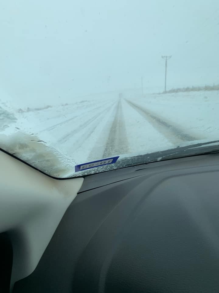
Snow covered road in Texline, Texas (Ben Kozar) |
 |
 |
 |
 |
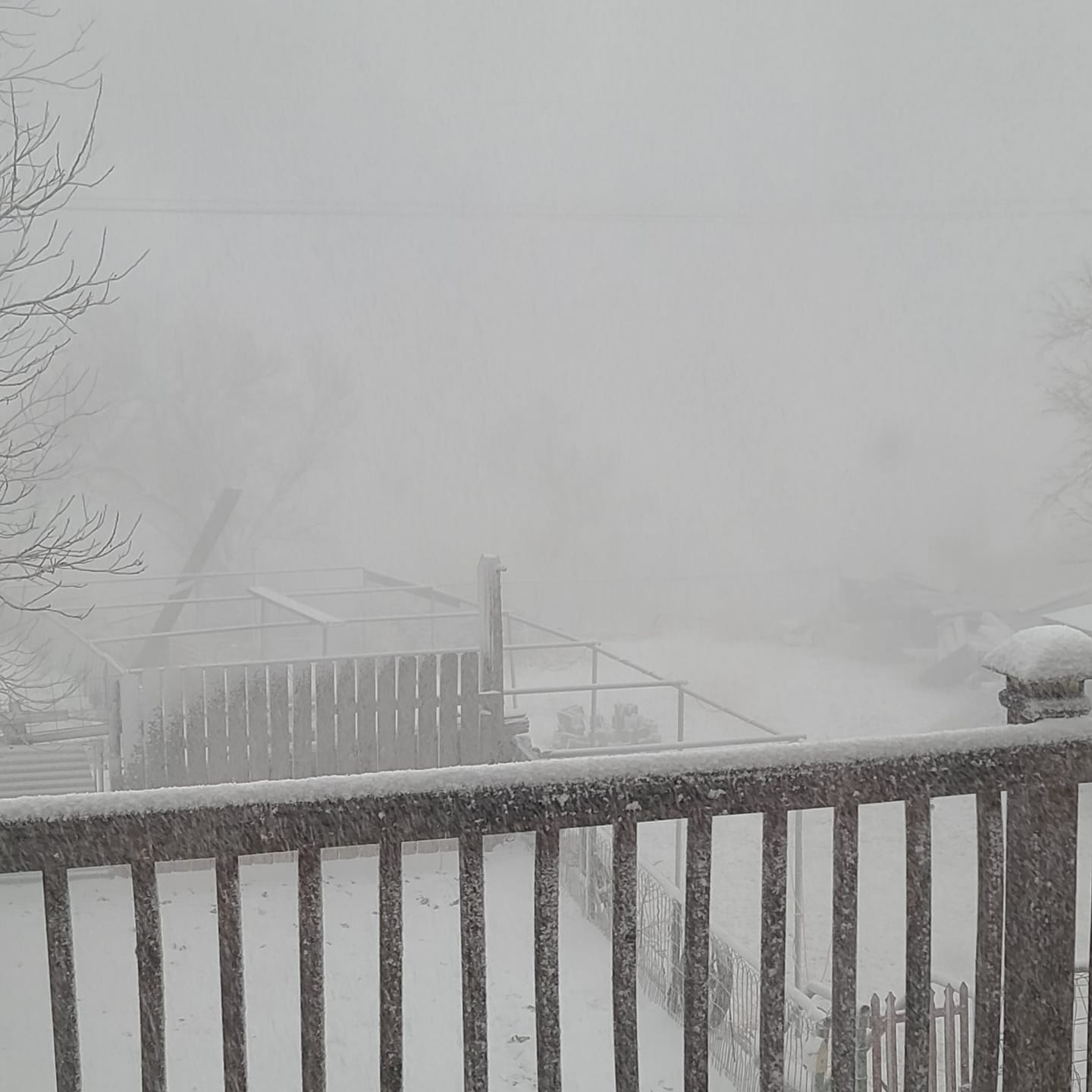
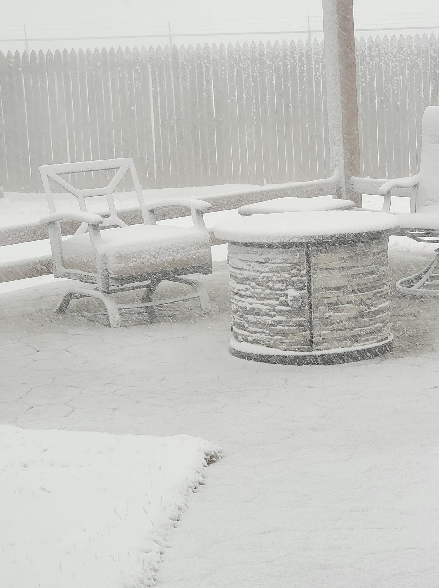
| Snowy patio in Borger, Texas (Byron Matthews) |
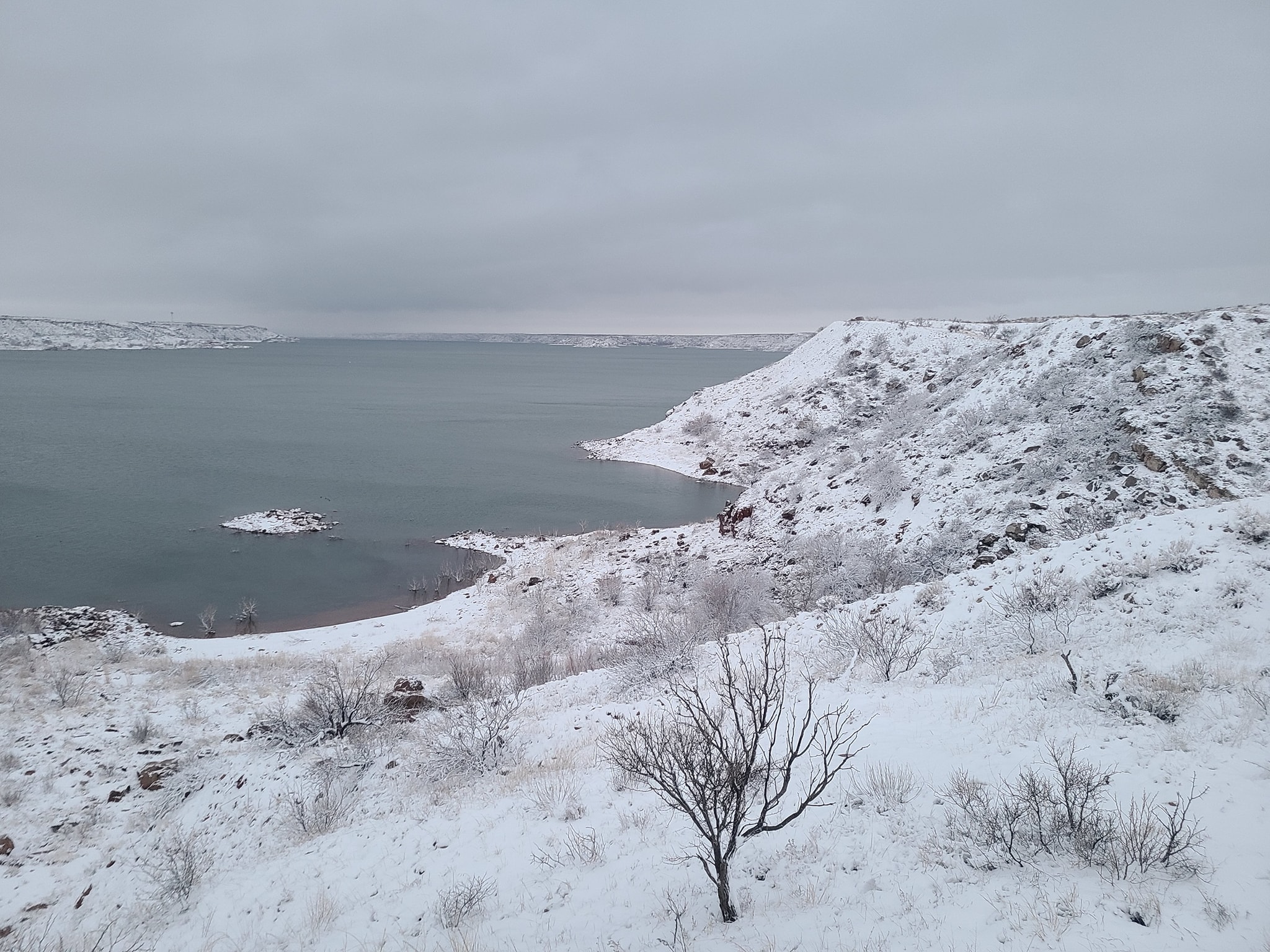
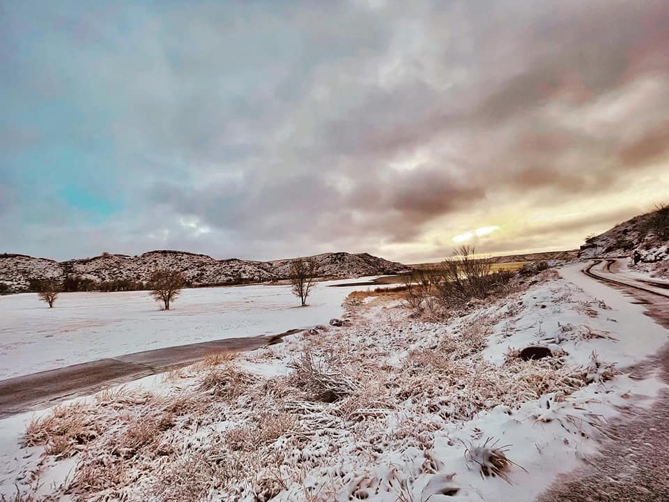
Snowy landscape at Lake Meredith (Dawn Davis) |
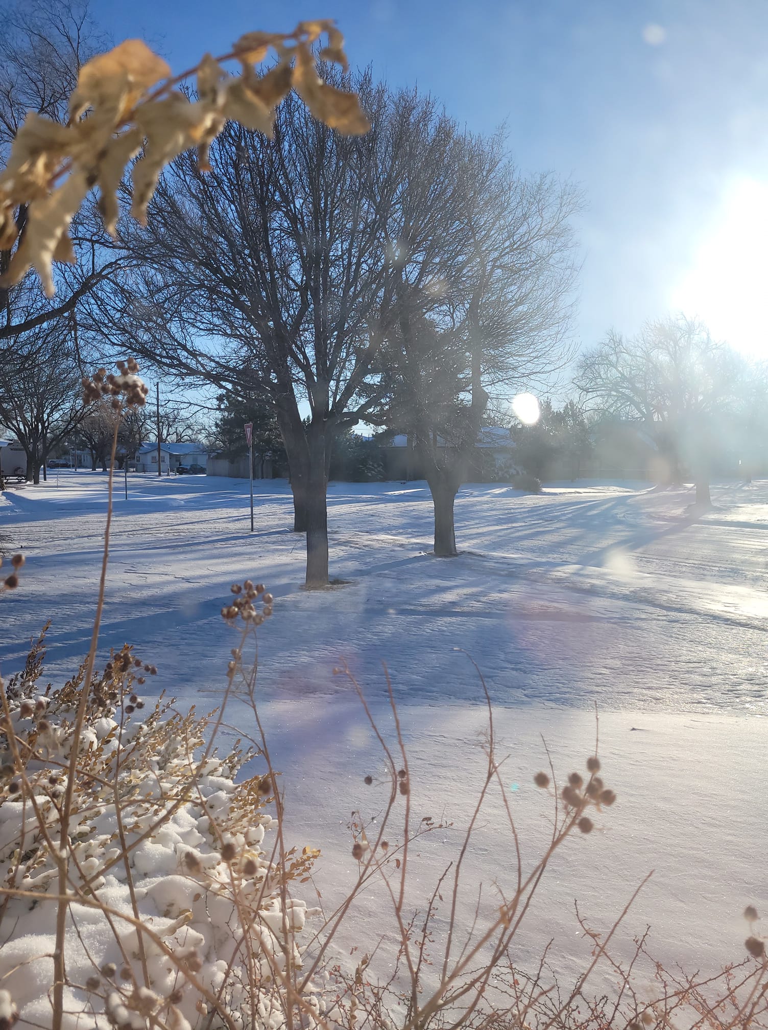
Snow-dusted grass north of Pampa, Texas (Denise Downs) |
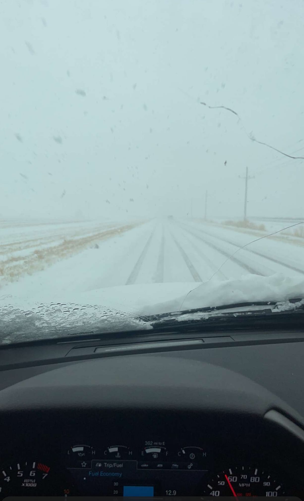
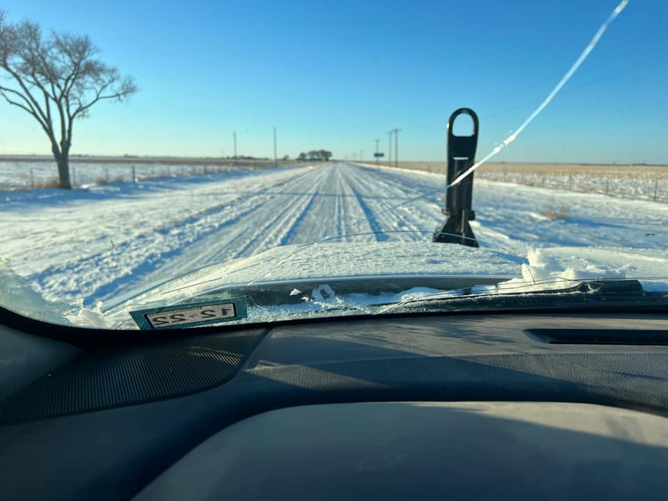
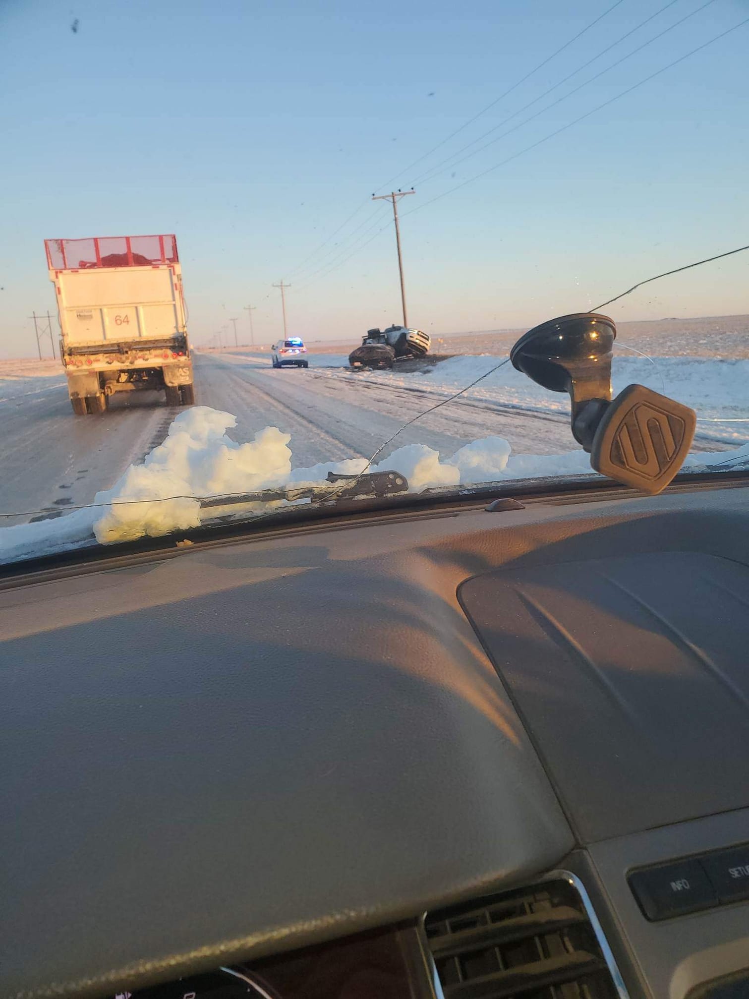
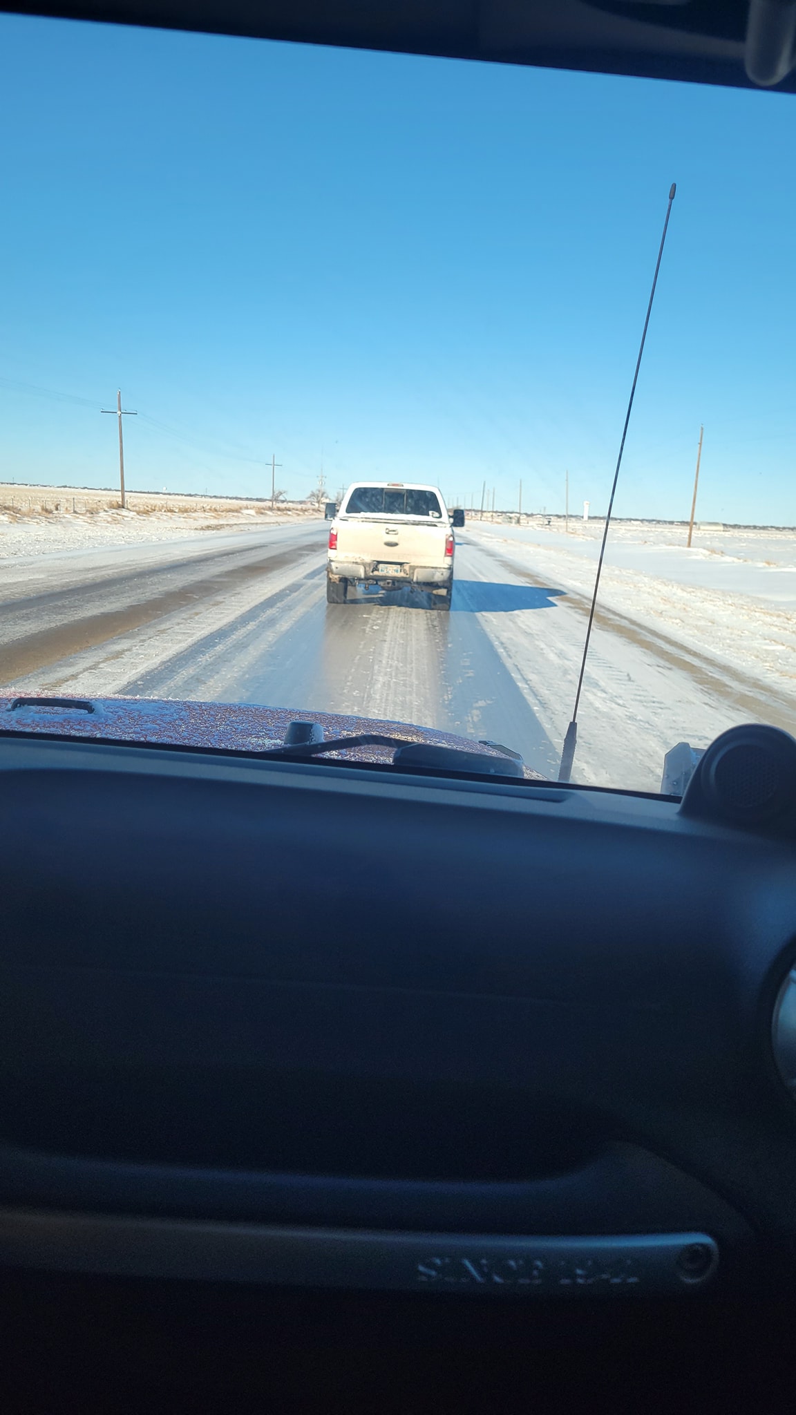
Snow-covered road and a truck that lost control near Hartley, Texas (Destinie Jones) |
 |
 |
 |
 |
| Snow covered FM 722 between Dumas and Channing, Texas (Esmeralda Munoz) |
A few inches of snow in Dumas, Texas (Esmeralda Munoz) |
Slushy, icy intersection in Perryton, Texas (Jason Vanosdol) |
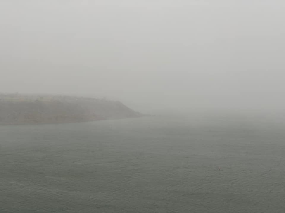
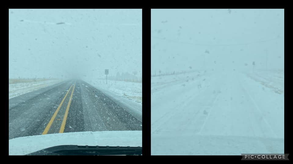
Obscured visibility as snow falls at Lake Meredith (Jessica Merry) |
 |
 |
 |
 |
| Snowy sunset at Harbor Bay, Lake Meredith (Joey Addam Benge) |
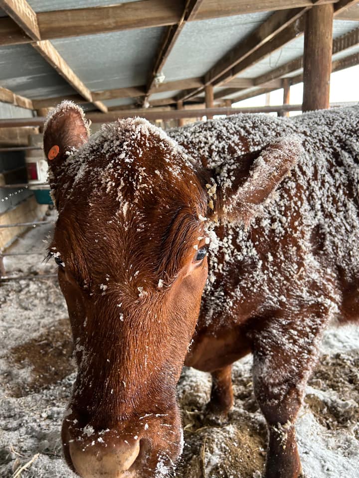
Snow dusted cattle near Dalhart, Texas (Kent Gordon) |
Snowy roads in Borger, Texas (Kyle Lesley) |
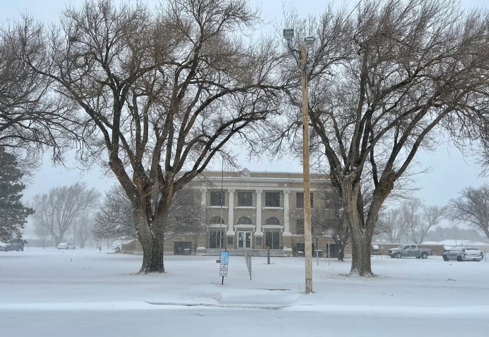
A wintry Sherman County courthouse in Stratford, Texas (Laura Rogers) |
 |
 |
 |
 |
| Ice covered road the following morning between Stinnett and Dumas, Texas (Meaghan Shipley) |
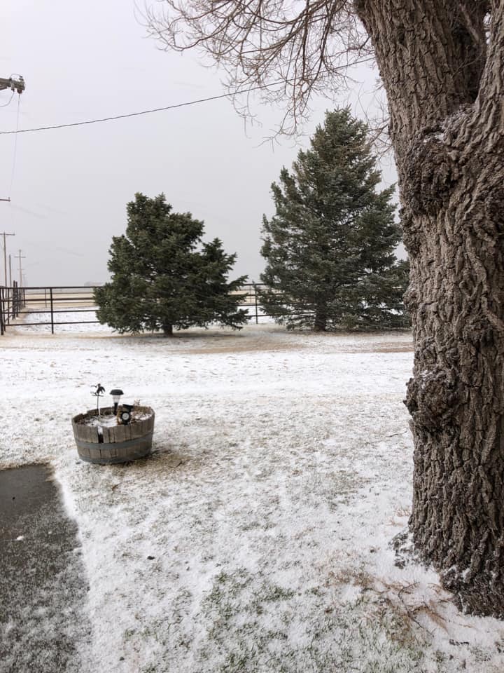
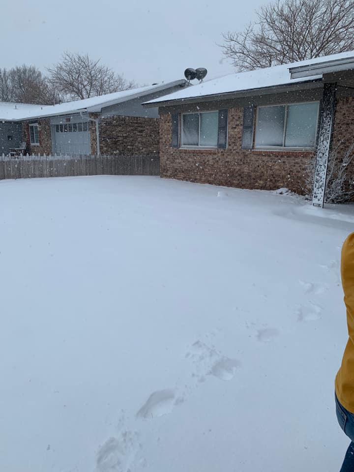
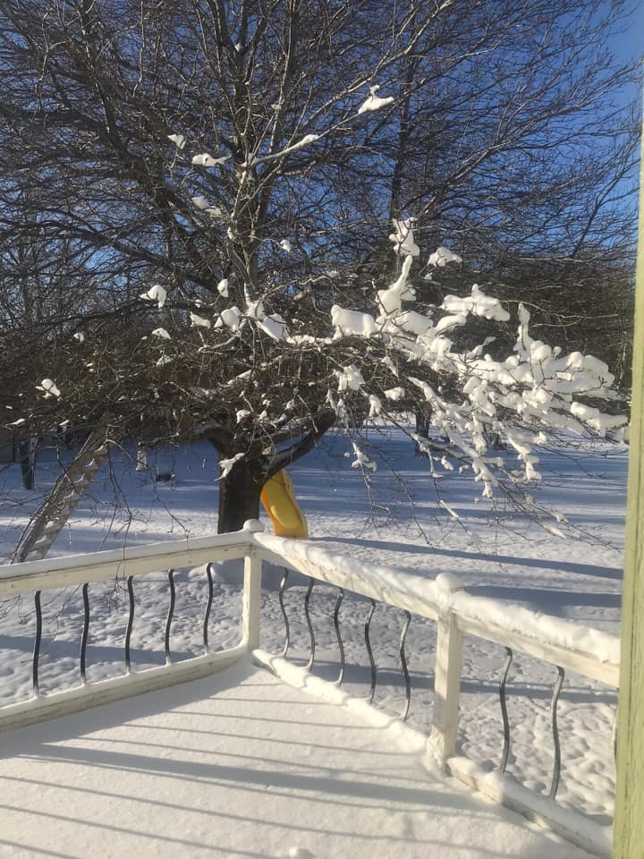
Powdery backyard in Hartley, Texas (Michael Smith) |
Snowy backyard in Stratford, Texas (Savannah Copley) |
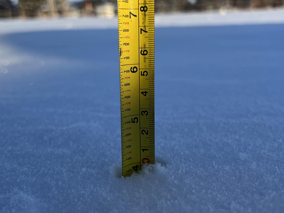
Four inches of snow measured in Stratford, Texas (Savannah Copley) |
 |
 |
 |
 |
| The morning after the snow in Stratford, Texas (Sheila Martin Burke) |
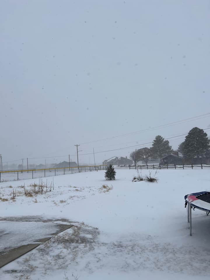
Fast accumulation of snow east of Channing, Texas (Stacy Singleton Bridges) |
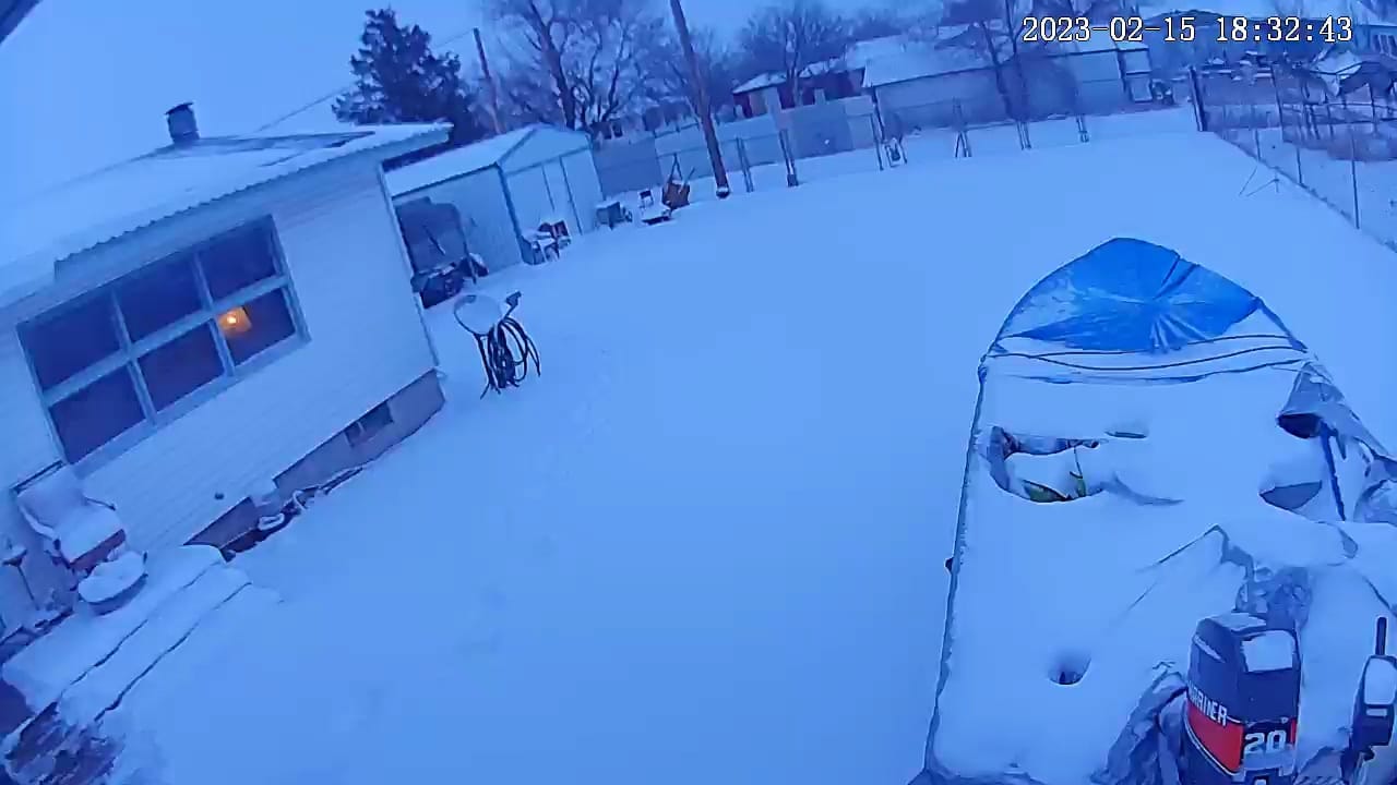
Bad time to use the boat in Boise City, Oklahoma (Theresa Loya) |
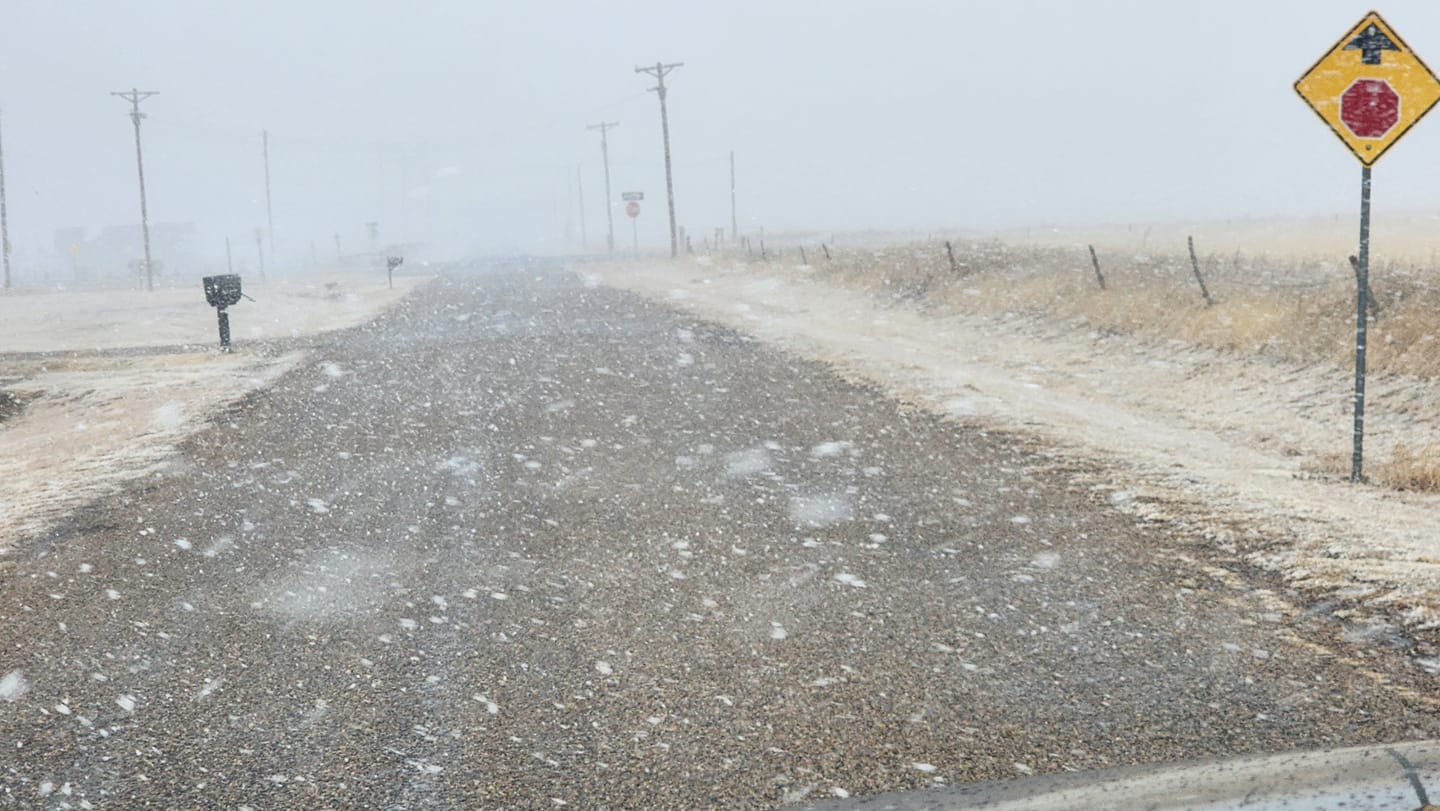
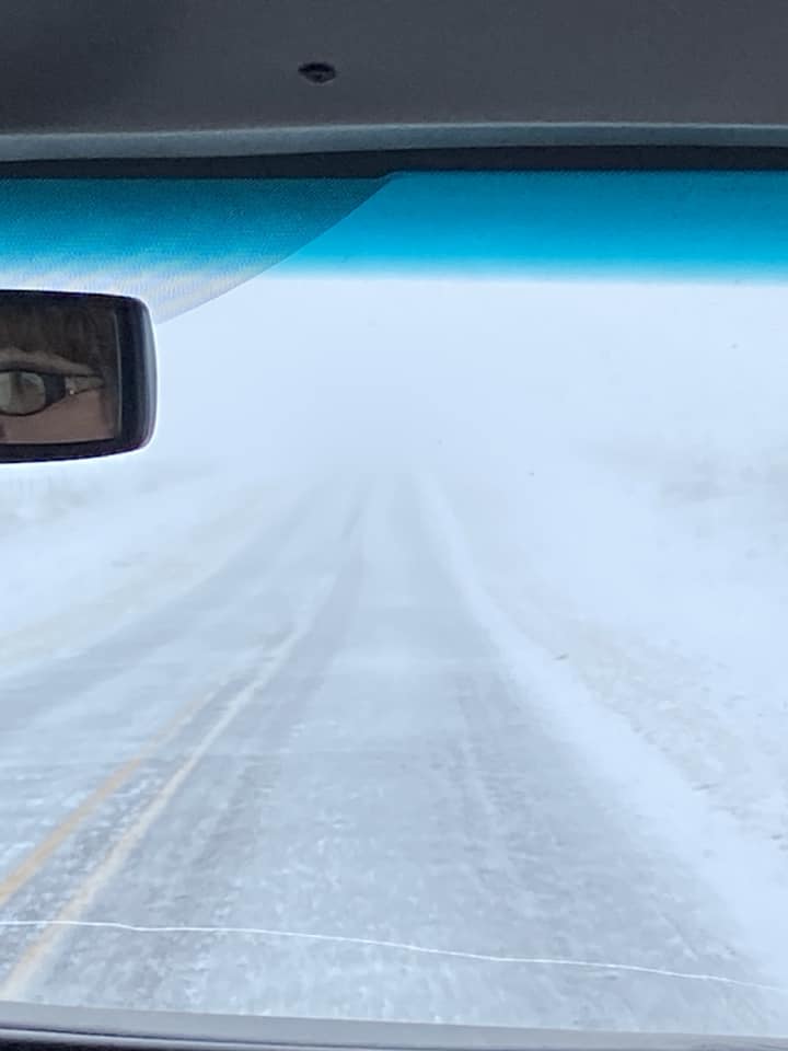
Light layer of snow on the road outside Channing, Texas (Tuan Clay) |
 |
Media use of NWS Web News Stories is encouraged! Please acknowledge the NWS as the source of any news information accessed from this site. |
|

