
Much higher than typical October temperatures will continue across coastal southern California up through the Bay Area and Central Valley through midweek resulting in result in Major to Extreme HeatRisk. A tropical depression is likely to form over the Gulf of America during the middle part of this week with further strengthening possible as it moves northeastward later this week. Read More >
Overview
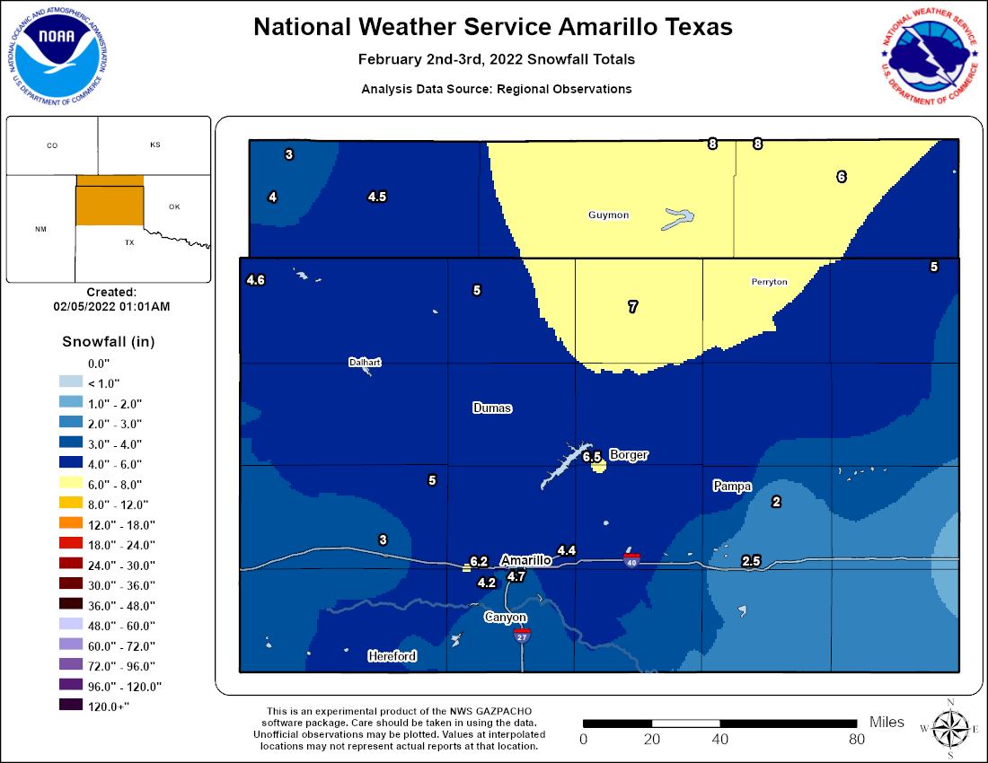
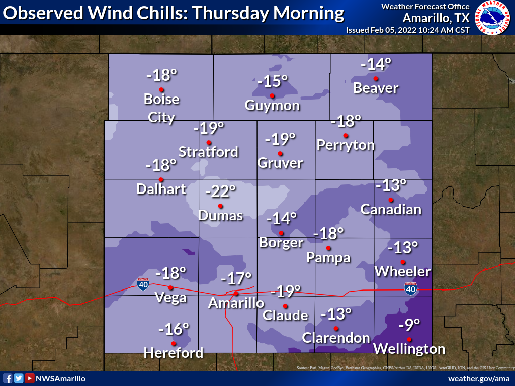
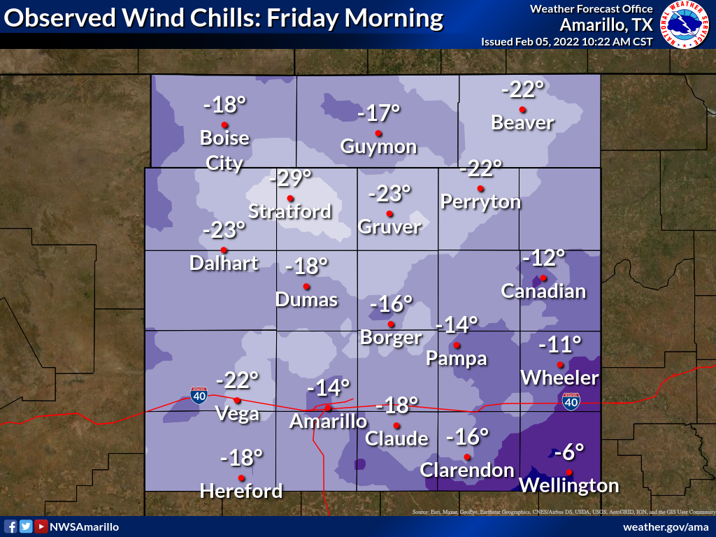
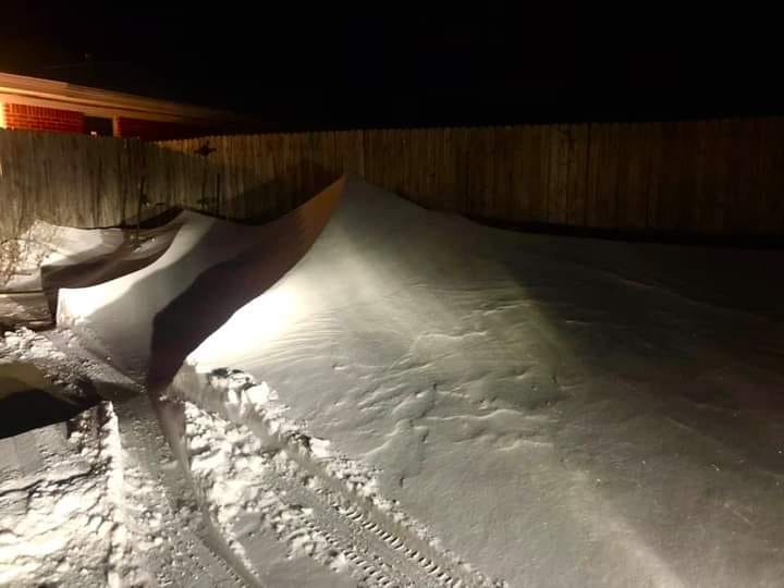
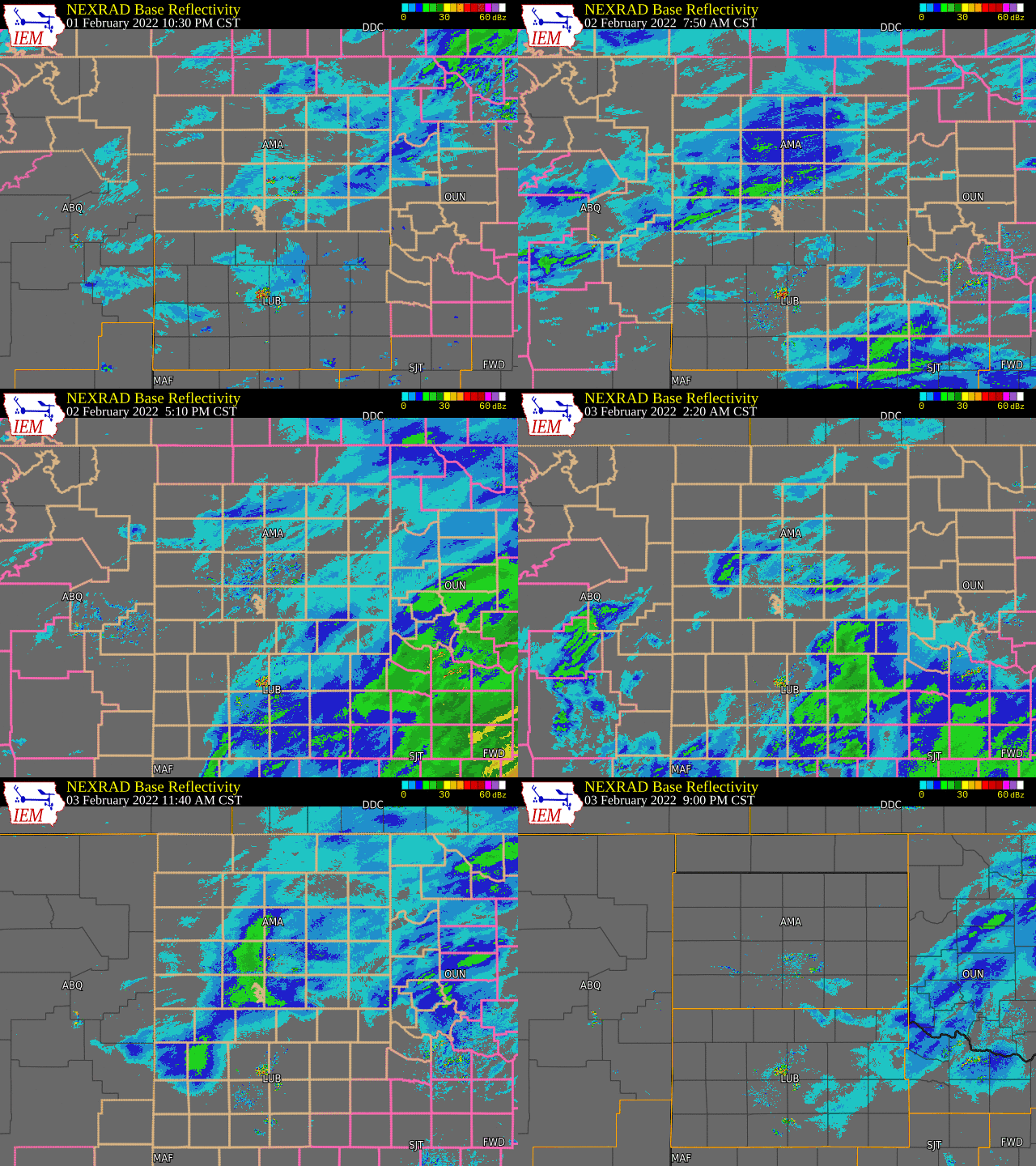
An upper level storm system brought an arctic air mass and moisture to the Panhandles February 2nd through the 4th. Flurries started Tuesday overnight into Wednesday morning with a narrow band of moderate snowfall setting up Wednesday morning from Vega to Pampa. The band slowly shifted northward and expanded in area through the day. Late Wednesday night there was a lull in the snowfall before more bands of enhanced snowfall developed Thursday morning, favoring the southern TX Panhandle. The upper level storm system moved eastward and allowed for precipitation to end by Thursday afternoon. Overall, the Panhandles generally received between 3 to 5 inches of snowfall. There were isolated areas of 6 to 8 inches with the highest total being 8 inches across portions of the eastern half of the Oklahoma Panhandle and north central Texas Panhandle. With the arctic air mass and snow, temperatures on Thursday remained very chilly with wind chills keeping the Panhandles feeling like 10 to 20 below zero in the morning and only warming up to near 0 by the afternoon before falling again Thursday night into Friday morning. Wind chills remained below freezing Friday morning, feeling like 15 to 25 below zero in some areas. Daytime temperatures Friday remained at or slightly above freezing through the day with sunny skies giving way to snow beginning to melt away.
Snowfall Totals
Sub-Zero Wind Chills
Photos
 |
 |
 |
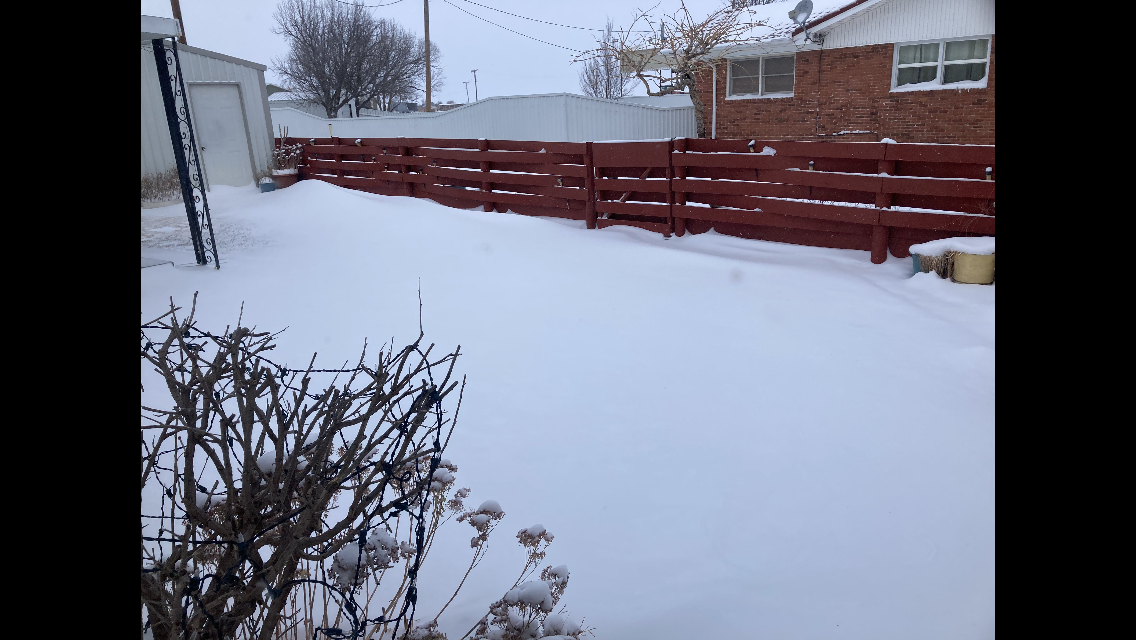 |
| West of Hooker, OK (Photo Credit: Lori Kraft) |
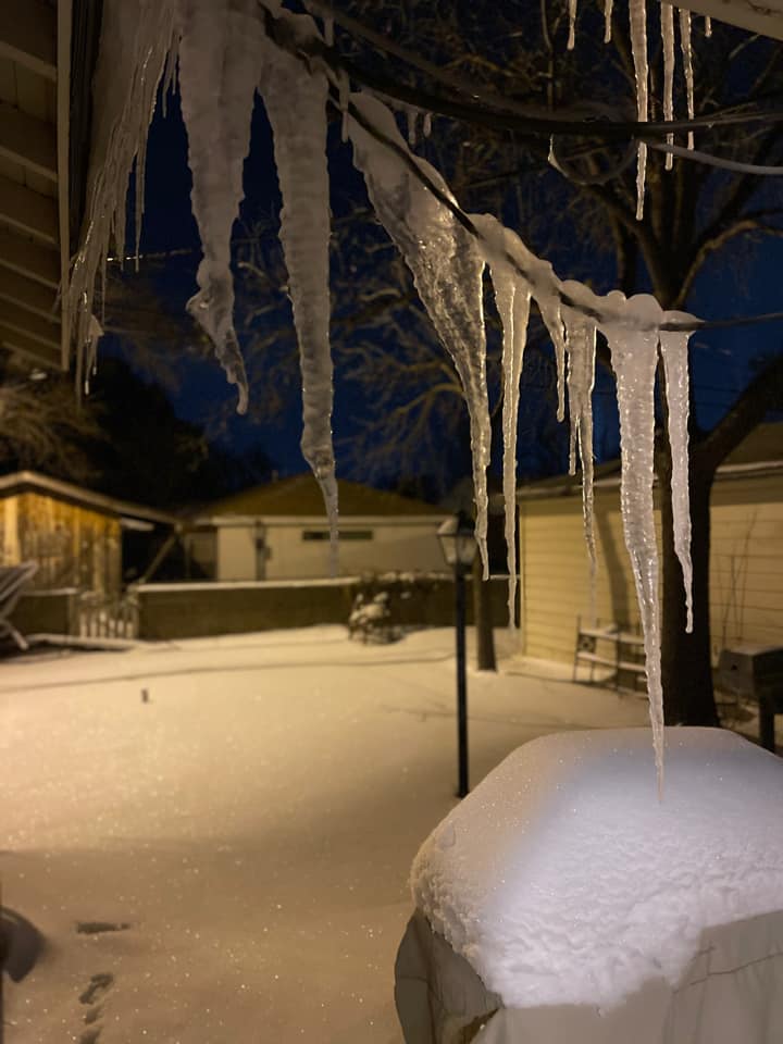
Sparkling Snow and Icicles Amarillo, TX (Photo Credit: Utie Anggraini) |
Light Pillars Amarillo, TX (Photo Credit: Jay McCoy) |
Boise City, OK (Photo Credit: David Johnson) |
 |
 |
 |
 |
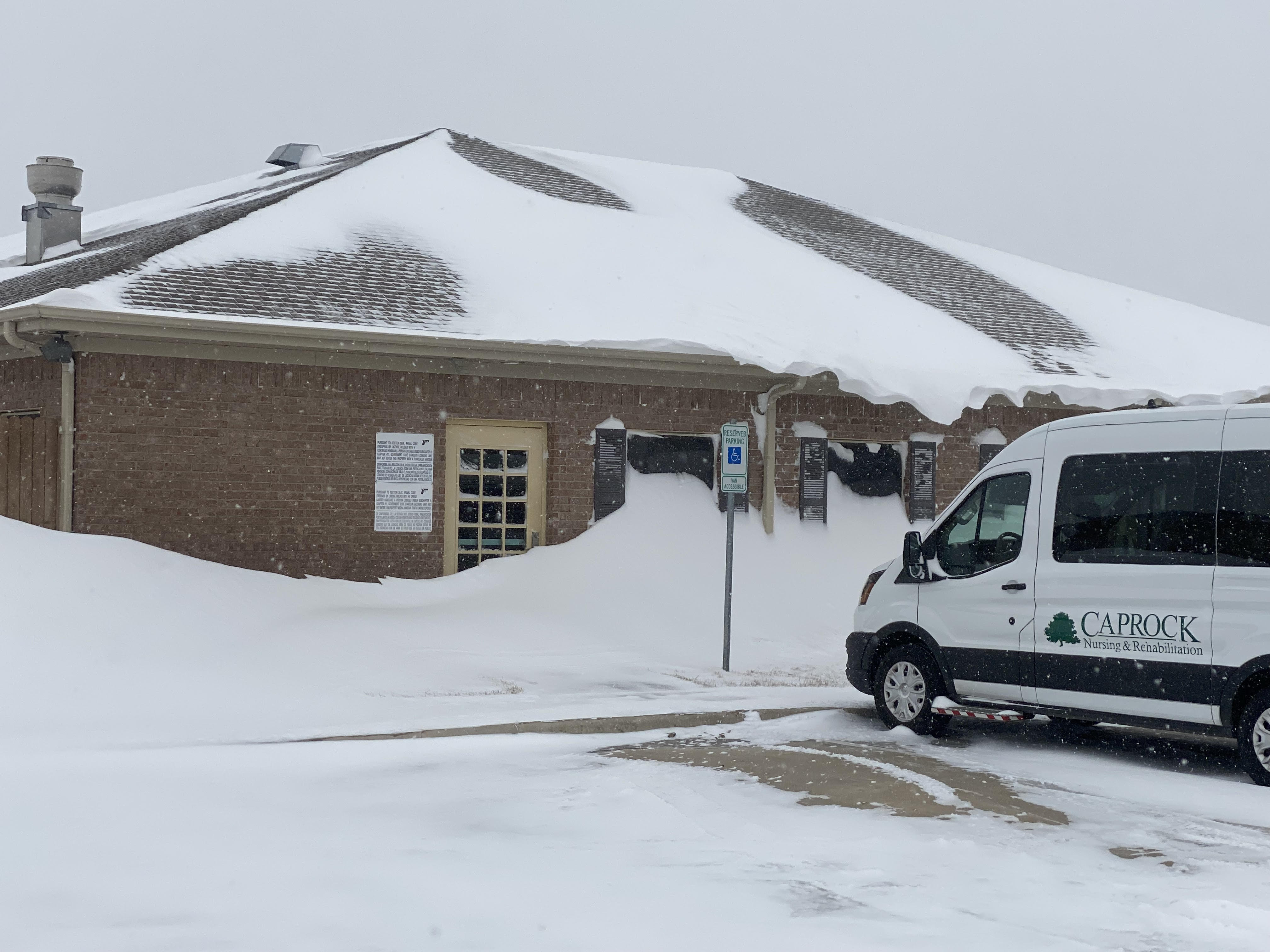
| Snow Drifts Along a Building Borger, TX (Photo Credit: Borger EM) |
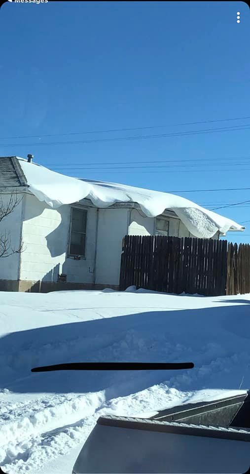
Snow Drifts Hanging Off a Roof Borger, TX (Photo Credit: Angela Russell) |
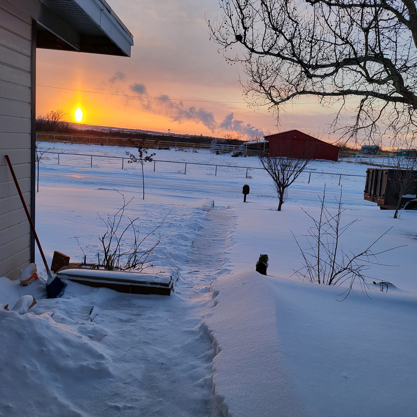
Sunset Pillar Borger, TX (Photo Credit: Fernando Salinas) |
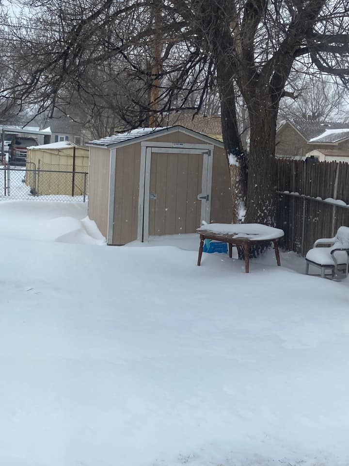
Dumas, TX (Photo Credit: Veronica Herrera) |
 |
 |
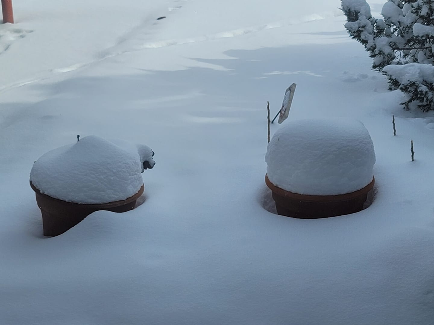 |
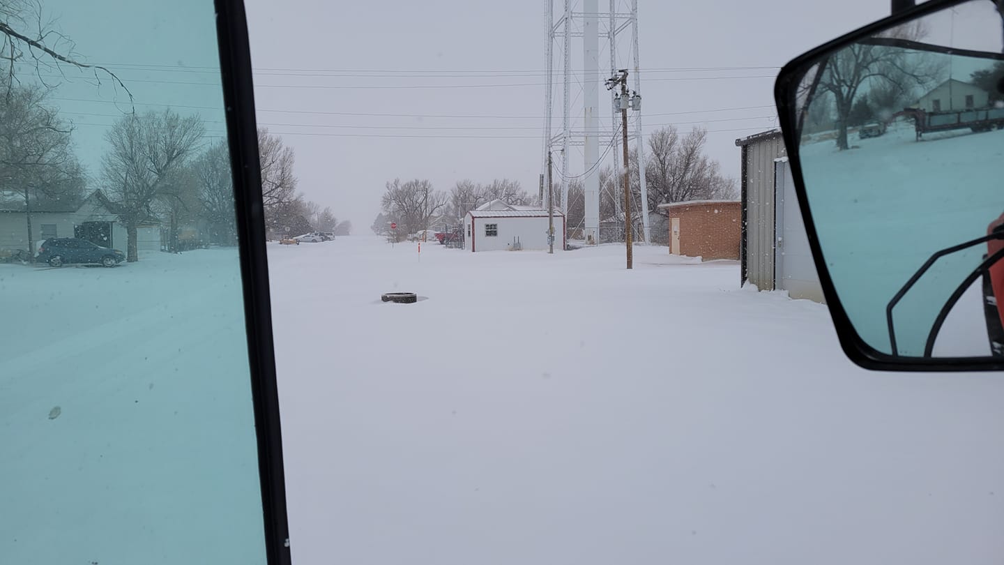 |
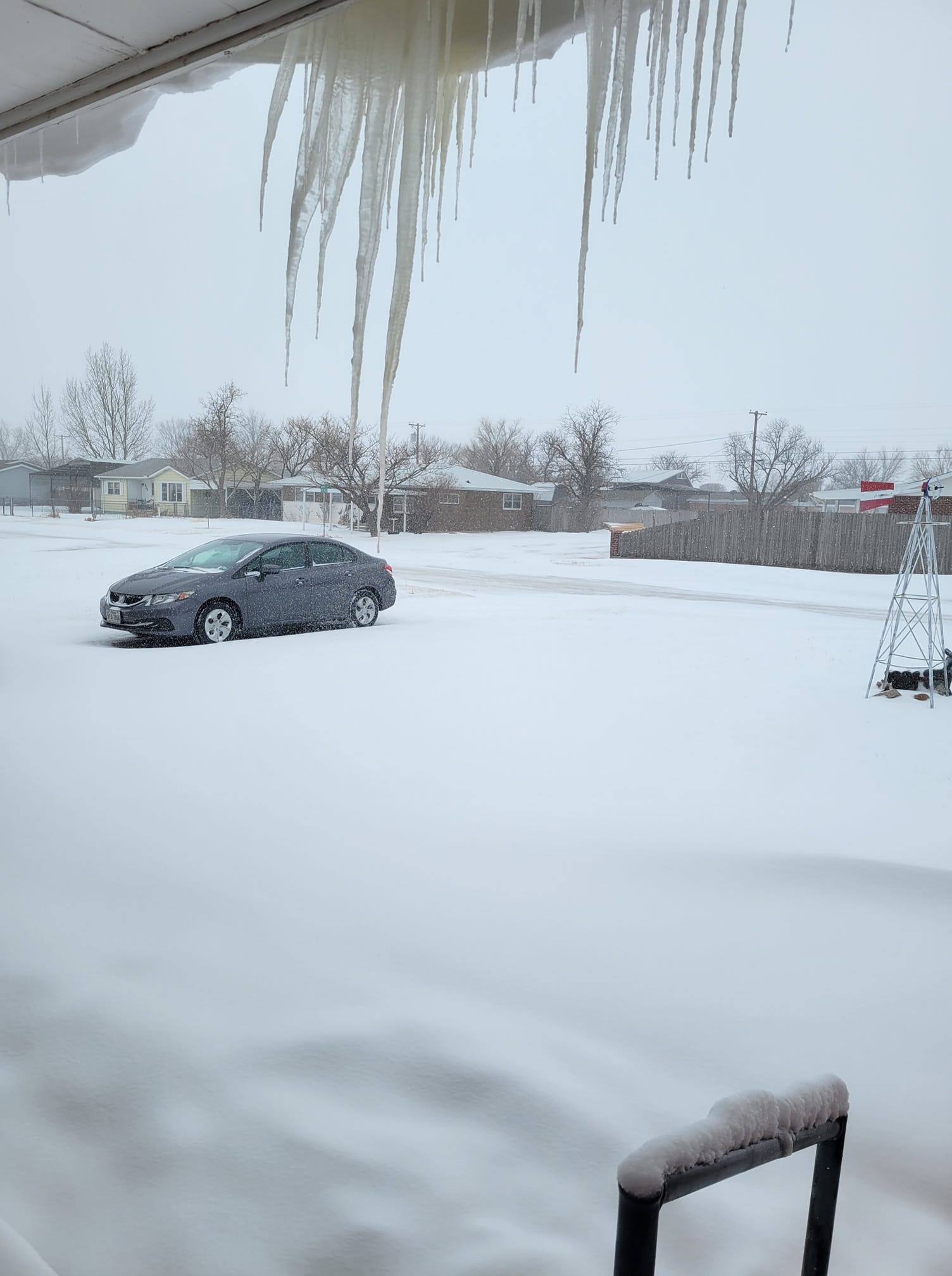
| Snow and Icicles Fritch, TX (Photo Credit: Kisha Reed) |
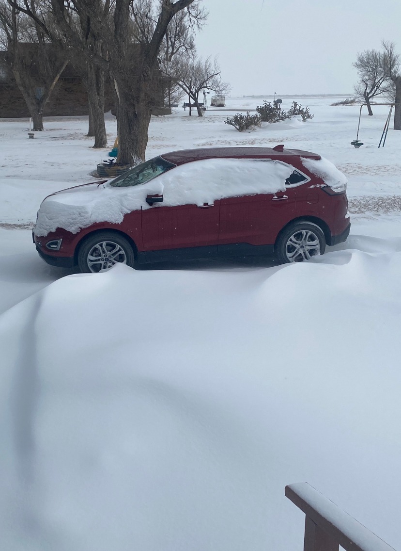
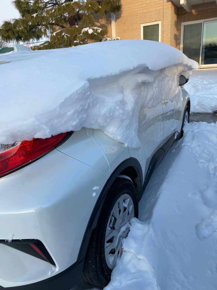
Snow Drift Off a Car Guymon, OK (Photo Credit: Beth McKee) |
Guymon, OK (Photo Credit: Cheryl Brune) |
Hardesty, OK (Photo Credit: Tye Frantz) |
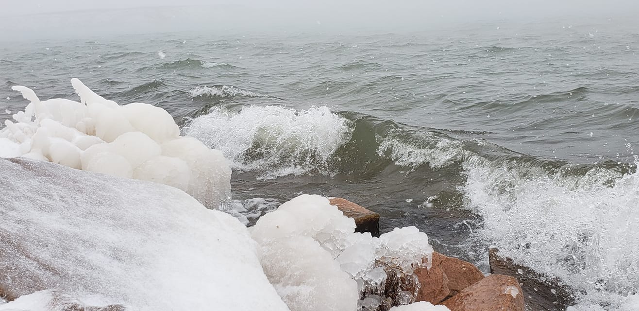 |
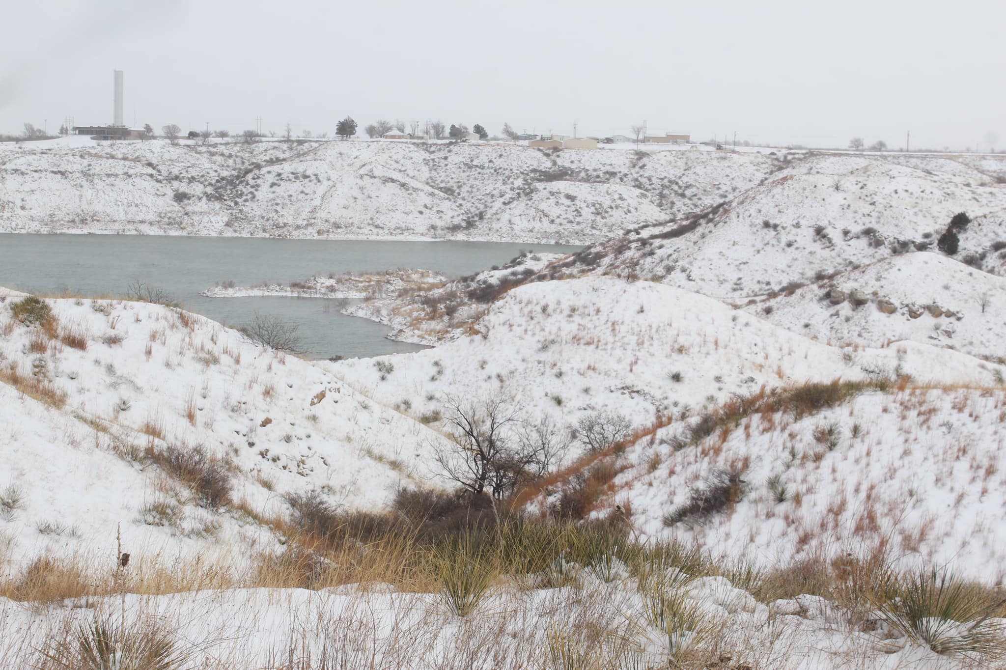 |
 |
 |
| Lake Meredith, TX (Photo Credit: Coby Medaris) |
Lake Meredith, TX (Photo Credit: Estes Photography) |
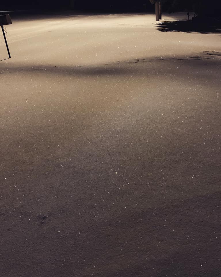
Sparkling Snow Miami, TX (Photo Credit: Caitlyn Wagner) |
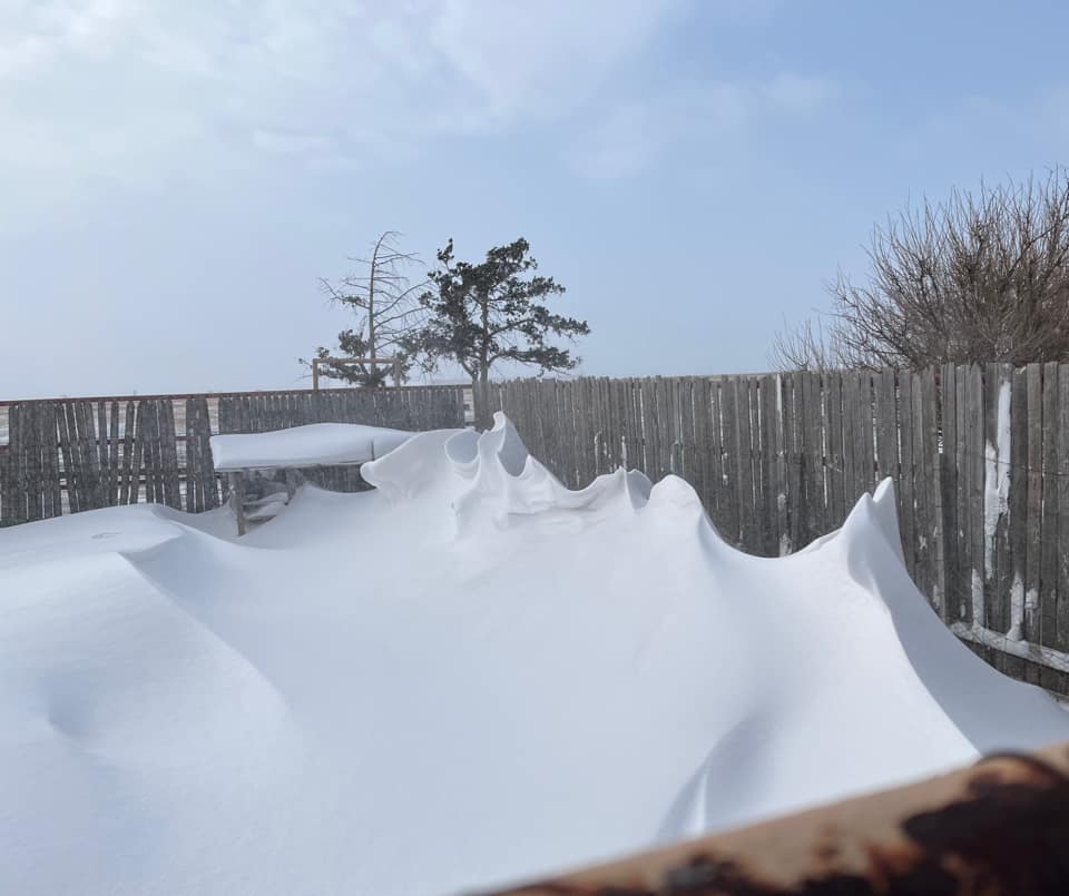
Snow Drift Art NE Amarillo, TX (Photo Credit: Linda Moore) |
 |
 |
 |
 |
| NW Amarillo, TX (Photo Credit: Lindy Billington) |
Pampa, TX (Photo Credit: Debbie Thompson-Taylor) |
Snowman Pampa, TX (Photo Credit: Coleby West) |
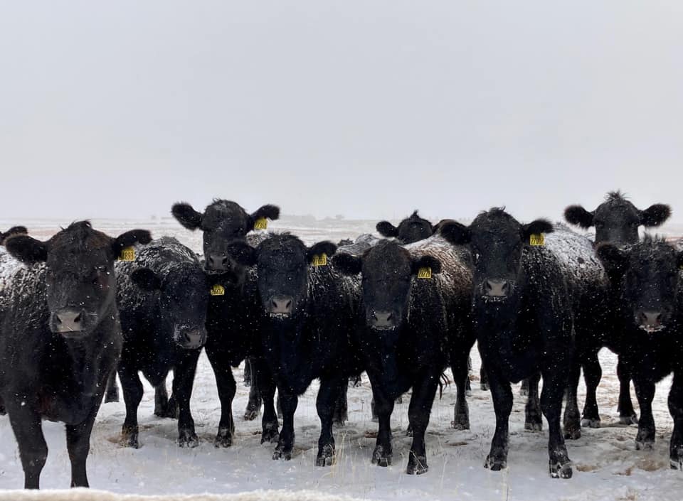
6666 Ranch Panhandle, TX (Photo Credit: Danielle Peters) |
 |
 |
 |
 |
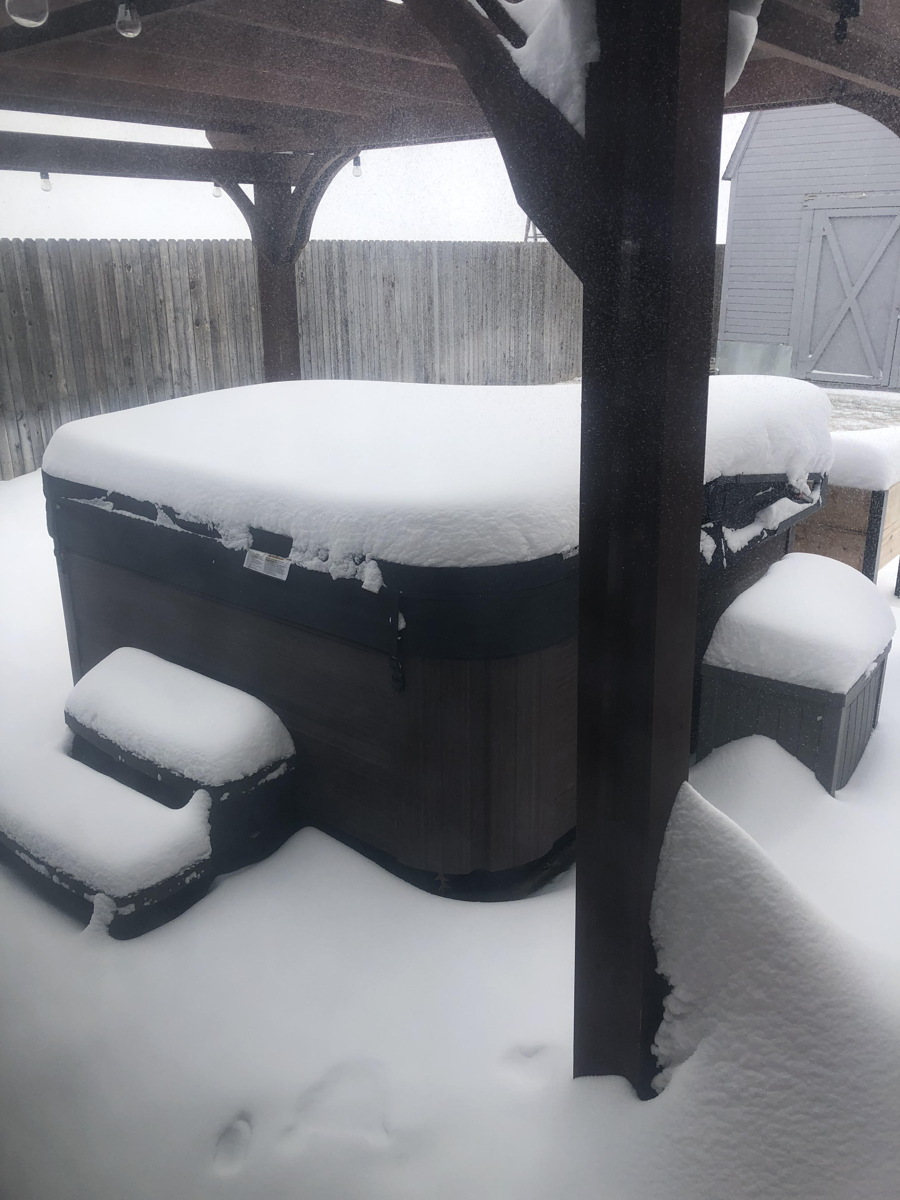
| Perryton, TX (Photo Credit: Chris Samples) |
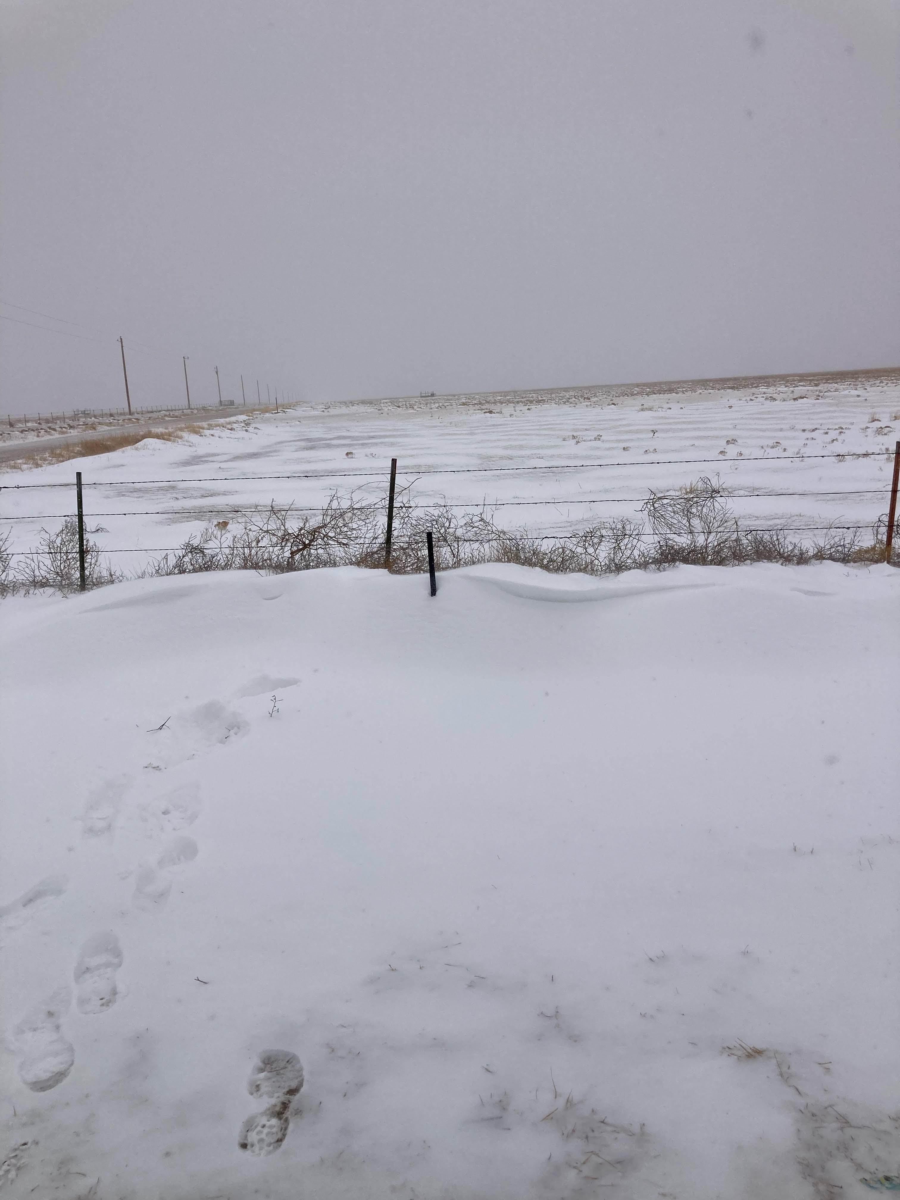
Texas County, OK (Photo Credit: Texas CO EM) |
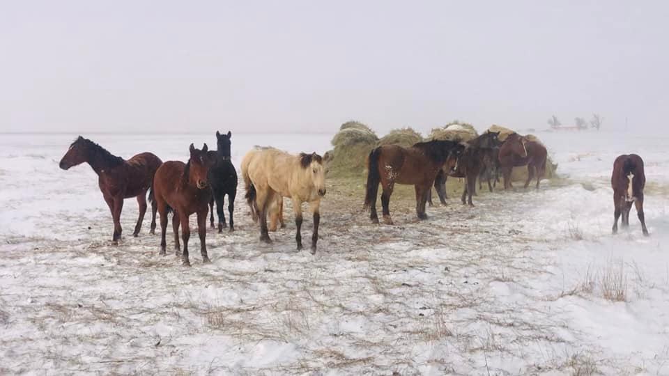
Washburn, TX (Photo Credit: Will Durrett) |
Pyramid Snow Drifts White Deer, TX (Photo Credit: Sheila Burke) |
Radar/Satellite
 |
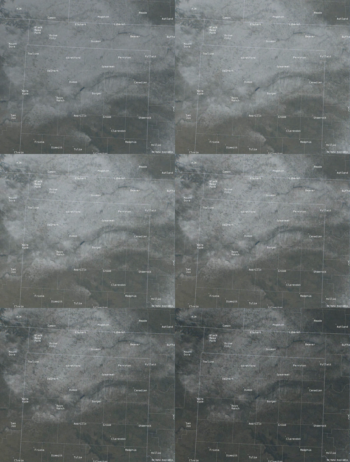 |
| Radar Loop from February 2nd through February 3rd | Warming temperatures above freezing and clear sunny skies help to melt away the snow pack on February 5 |
Storm Reports
...72 HOUR SNOWFALL REPORTS (FEBRUARY 2 THROUGH FEBRUARY 4)...

Location                     Amount    Time/Date       Lat/Lon
Guymon                       8.0 in    1052 AM 02/03   36.69N/101.48W
6 N Turpin                   8.0 in    0800 AM 02/03   36.95N/100.88W
1 NE Gruver                  7.0 in    0700 AM 02/04   36.26N/101.41W
Fritch 5.1 E                 6.5 in    0700 AM 02/04   35.63N/101.51W
1 WSW Bushland               6.2 in    0800 AM 02/04   35.19N/102.08W
1 W Perryton                 6.0 in    0600 AM 02/04   36.39N/100.82W
0.6 NE Gruver                6.0 in    0700 AM 02/03   36.26N/101.41W
Beaver                       6.0 in    0800 AM 02/03   36.81N/100.52W
Perryton 1.2 SSW             5.9 in    0700 AM 02/04   36.38N/100.81W
Stratford 0.5 ESE            5.0 in    0700 AM 02/03   36.33N/102.07W
2 WSW Amarillo               5.0 in    0150 PM 02/03   35.19N/101.85W
Boys Ranch                   5.0 in    1200 AM 02/04   35.53N/102.26W
Follett                      5.0 in    0540 AM 02/04   36.43N/100.14W
Borger 4.4 WSW               5.0 in    0700 AM 02/03   35.64N/101.48W
1 NW Pampa                   4.9 in    0630 AM 02/04   35.55N/100.97W
Hereford 1.1 N               4.9 in    0630 AM 02/04   34.84N/102.40W
6 W Amarillo                 4.7 in    0200 PM 02/03   35.19N/101.92W
Amarillo 5.9 WSW             4.7 in    0600 AM 02/04   35.18N/101.92W
Texline 0.3 WNW              4.6 in    0700 AM 02/03   36.38N/103.02W
Dumas                        4.5 in    0733 PM 02/02   35.86N/101.96W
Boise City                   4.5 in    0841 AM 02/03   36.73N/102.51W
Official NWS Amarillo Obs    4.4 in    0600 PM 02/03   35.24N/101.70W
Amarillo 8.9 SW              4.2 in    0700 AM 02/04   35.13N/101.94W
5 SW Amarillo                4.0 in    0212 PM 02/03   35.15N/101.87W
Canyon                       4.0 in    0800 AM 02/04   34.98N/101.93W
Kenton 12.1 S                4.0 in    0800 AM 02/03   36.73N/102.93W
1 SE Dalhart                 3.8 in    0700 AM 02/04   36.05N/102.50W
7 WSW Amarillo               3.5 in    0150 PM 02/03   35.17N/101.93W
Hereford 2.4 ENE             3.5 in    0700 AM 02/04   34.84N/102.36W
Amarillo 6.9 SW              3.2 in    0700 AM 02/04   35.14N/101.91W
Canyon 1.9 W                 3.0 in    1000 AM 02/04   34.98N/101.95W
3 NW Vega                    3.0 in    0700 AM 02/03   35.28N/102.46W
Stinnett                     3.0 in    0303 PM 02/02   35.82N/101.44W
Kenton 6.1 E                 3.0 in    0800 AM 02/03   36.91N/102.86W
Sanford                      2.8 in    0600 AM 02/04   35.70N/101.55W
3.7 SW Lake Mcclellan        2.5 in    0920 AM 02/04   35.19N/100.93W
Dawn                         2.5 in    0545 AM 02/03   34.91N/102.20W
Lefors                       2.0 in    0330 PM 02/03   35.44N/100.80W
Hooker                       2.0 in    1236 PM 02/02   36.86N/101.21W
Keyes                        2.0 in    0107 PM 02/02   36.81N/102.25W
Lipscomb                     1.0 in    0700 AM 02/03   36.24N/100.27W
Hartley                      1.0 in    0940 AM 02/02   35.89N/102.40W
Spearman                     1.0 in    0115 PM 02/02   36.20N/101.19W

Observations are collected from a variety of sources with varying
equipment and exposures. We thank all volunteer weather observers
for their dedication. Not all data listed are considered official.

$$
Environment
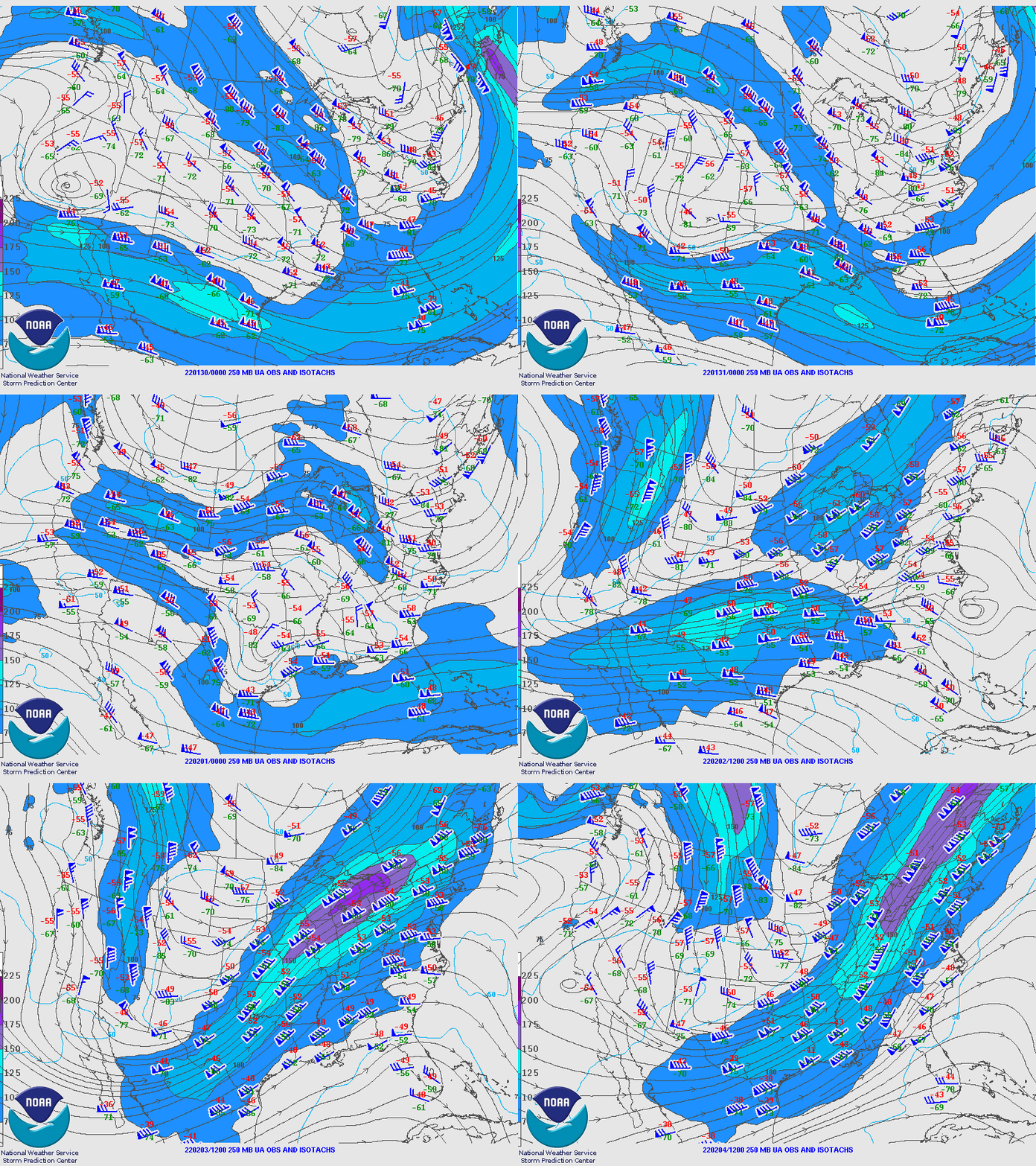
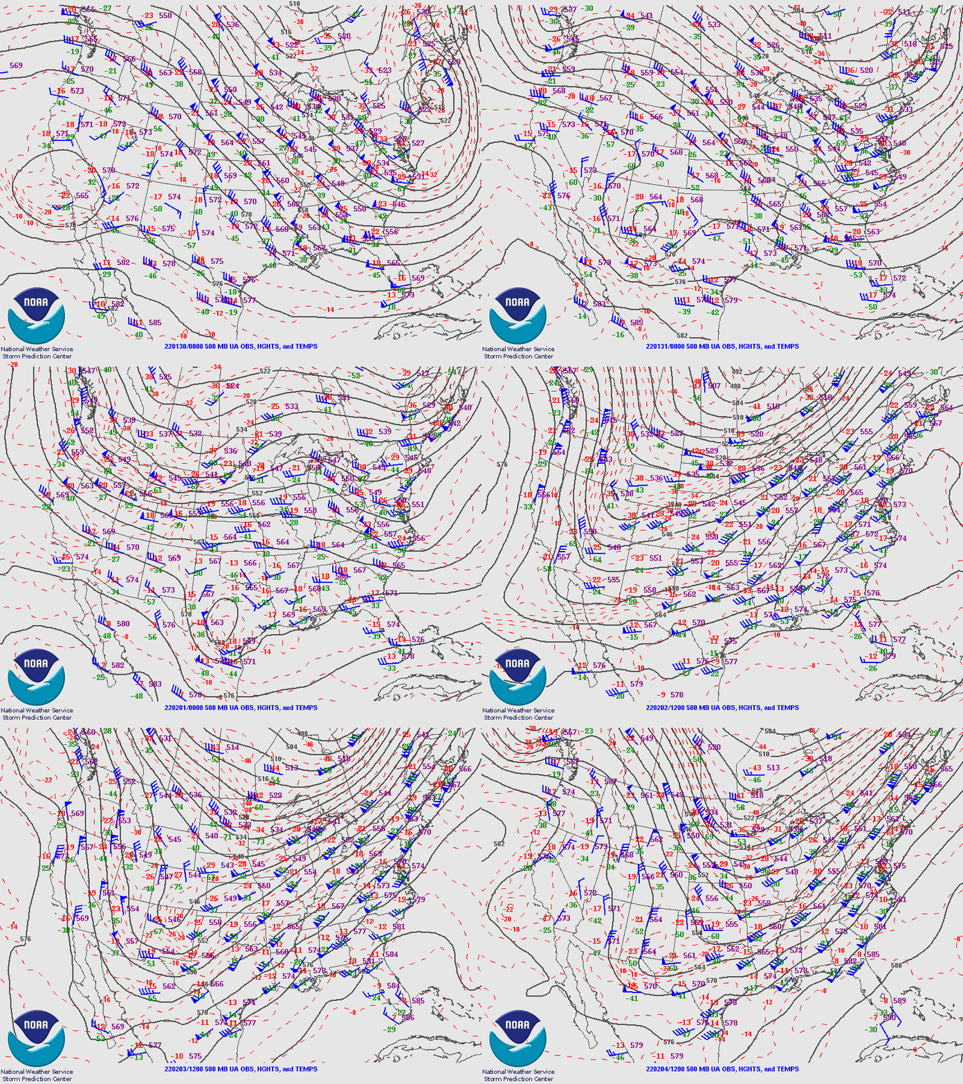
A deep positively tilted trough moved into the southern Rockies on Wednesday, February 2nd. The trough pushed an arctic air mass southward through the Plains. Ahead of the trough were shortwaves that aided in providing lift when combined with the cold front. Low and mid level moisture continued to fill in across the Panhandles, bringing snow to the area. Flurries started Tuesday overnight into Wednesday morning with a narrow band of moderate snowfall setting up Wednesday morning from Vega to Pampa. The band slowly shifted northward and expanded in area through the day as the upper level trough shifted position. Wednesday night into Thursday, the main trough axis shifted into central New Mexico. A period of lower synoptic lift overnight limited snowfall; however, as the left entrance region of the 250 mb jet streak approached the Southern Plains Thursday morning, more bands of enhanced snowfall developed, favoring the southern TX Panhandle for more snowfall. The upper level trough moved eastward and allowed precipitation to end by Thursday afternoon.
 |
 |
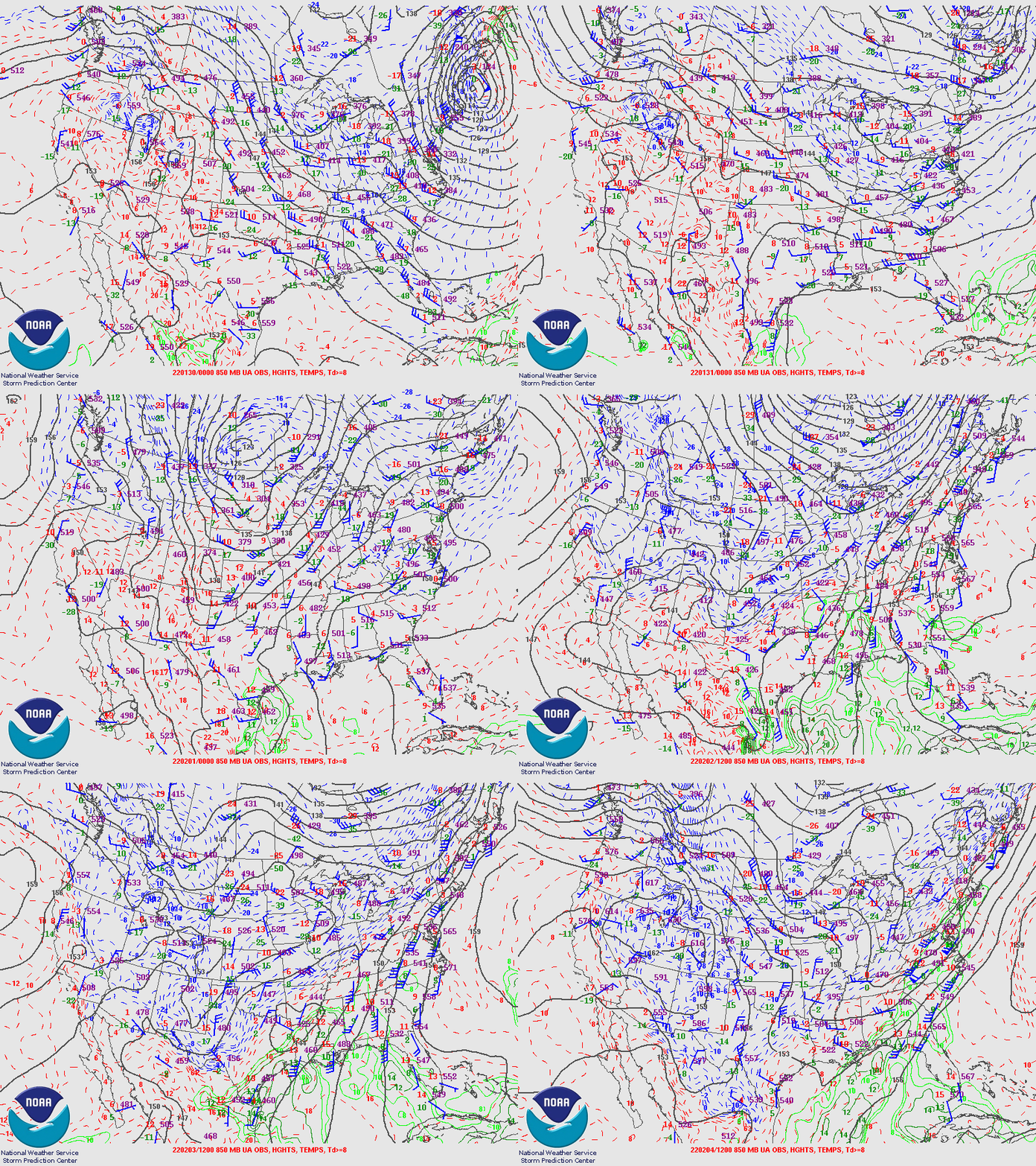 |
| 250mb Analysis | 500mb Analysis | 850mb Analysis |
 |
Media use of NWS Web News Stories is encouraged! Please acknowledge the NWS as the source of any news information accessed from this site. |
|



 Follow us on X
 Follow us on Facebook
 AMA RSS Feed