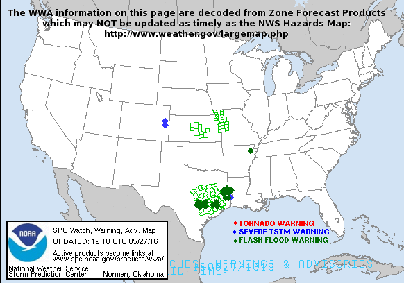
Isolated severe storms capable of hail and gusty winds are possible mainly this evening across northern/eastern Missouri into Illinois. Clusters of showers and thunderstorms in the Florida peninsula may produce heavy to excessive rainfall into Monday. An Elevated fire weather risk is possible over the Northern Plains into western Minnesota today due to low relative humidity and windy conditions. Read More >
 |
| Convective/Tropical Weather | Flooding | Winter Weather | Non-Precipitation |
| Tornado Watch Tornado Warning* Severe Thunderstorm Watch Severe Thunderstorm Warning* Hurricane Watch Hurricane Warning Tropical Storm Watch Tropical Storm Warning |
Flash Flood Watch Flash Flood Warning* Coastal/Flood Watch Coastal/Flood Warning Small Stream Flood Advisory |
Blizzard Warning Winter Storm Watch Winter Storm Warning Snow Advisory Freezing Rain Advisory Ice Storm Warning Winter Weather Advisory |
High Wind Warning or Advisory |
|
|
|||||||||||||
|
|
|||||||||||||
| Texas and Oklahoma Panhandles Central and Northern New Mexico Southeast and South Central Colorado |
Southwest Kansas Western and Central Oklahoma South and Low Rolling Plains of Texas |
|
|
|
|||||||||||||
| Texas and Oklahoma Panhandles Central and Northern New Mexico Southeast and South Central Colorado |
Southwest Kansas Western and Central Oklahoma South and Low Rolling Plains of Texas |
|
|
|||||||||||||
| Texas and Oklahoma Panhandles Central and Northern New Mexico Southeast and South Central Colorado |
Southwest Kansas Western and Central Oklahoma South and Low Rolling Plains of Texas |
|
|
|
|||||||||||||
| Texas and Oklahoma Panhandles Central and Northern New Mexico Southeast and South Central Colorado |
Southwest Kansas Western and Central Oklahoma South and Low Rolling Plains of Texas |
|
|
|||||||||||||
|
Hazardous Weather Outlook (HWO) Current Watches |
 |
|
|
|
|||||||||||||
|
|
|||||||||||||
| NWS Office of Climate, Water and Weather | School Safety in Hazardous Weather | |
| Top Ten Deadliest Tornadoes in Texas | Receive Amarillo's "The Dryline" | |