
Severe thunderstorms capable of damaging winds will be possible from the Ozark Plateau east into portions of the Southeast today. Rounds of heavy thunderstorms ahead of a slow moving front will continue locally heavy rainfall and scattered flash flooding potential from the Ozarks to the Ohio and Tennessee Valleys today. Read More >
Amarillo, TX
Weather Forecast Office
|
|
 |
|
|
|
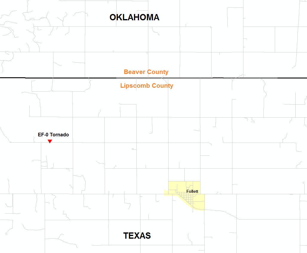
| Rating (EF Scale) | EF-0 |
| Estimated Maximum Wind | 80 mph |
| Injuries/Fatalities | None |
| Damage Path Length | 300 yards |
| Maximum Path Width | 50 yards |
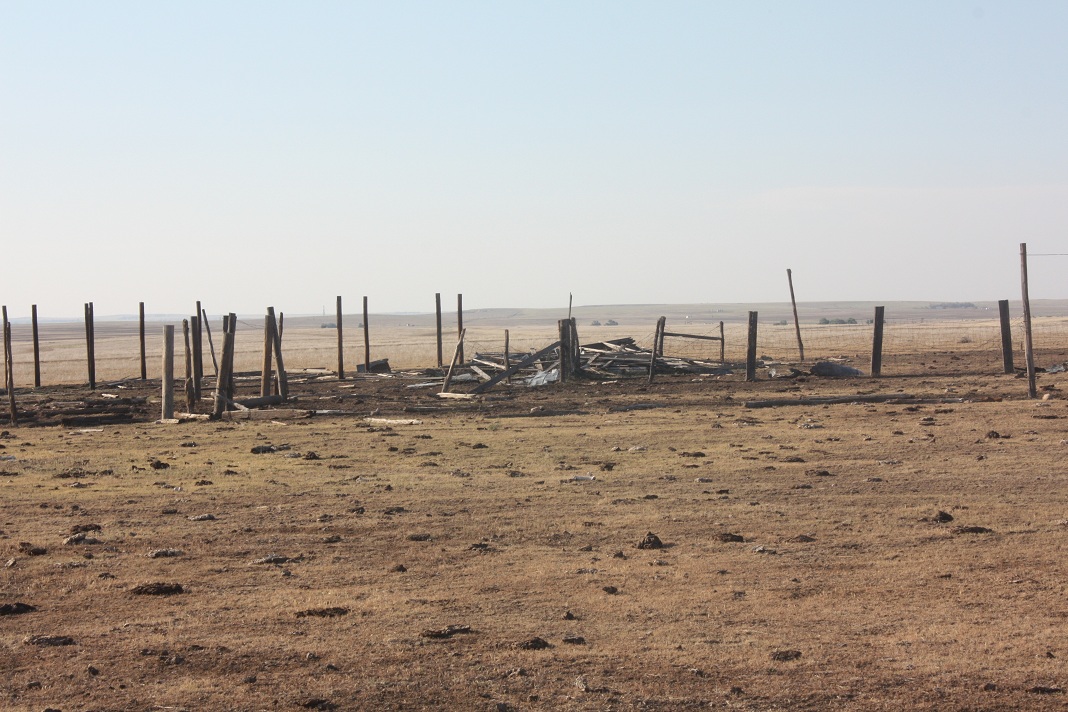
| The tornado briefly touched down near the intersection of County Road 19 and County Road D northwest of Follett around 7:50 p.m. CDT. The tornado was on the ground for about 300 yards with a maximum width of 50 yards. The maximum wind speeds were around 80 mph. No injuries or fatalities were reported. This is a preliminary report and is subject to revision based on new or additional information. | |
 |
US Dept of Commerce
National Oceanic and Atmospheric Administration
National Weather Service
Amarillo, TX
1900 English Road
Amarillo, TX 79108
(806) 335-1121
Comments? Questions? Please Contact Us.

