Flooding Threat Continues in Portions of Texas; Poor Air Quality in the Great Lakes through the Mid-Atlantic
Widespread life-threatening flash and urban flooding continues in south-central Texas, with considerable flooding impacts possible across central Texas. Wildfire smoke is impacting air quality across much of the Great Lakes region into southern New England and the Mid-Atlantic. Monsoonal thunderstorms may produce isolated to scattered flash flooding across the Southwest into the Great Basin.
Read More >
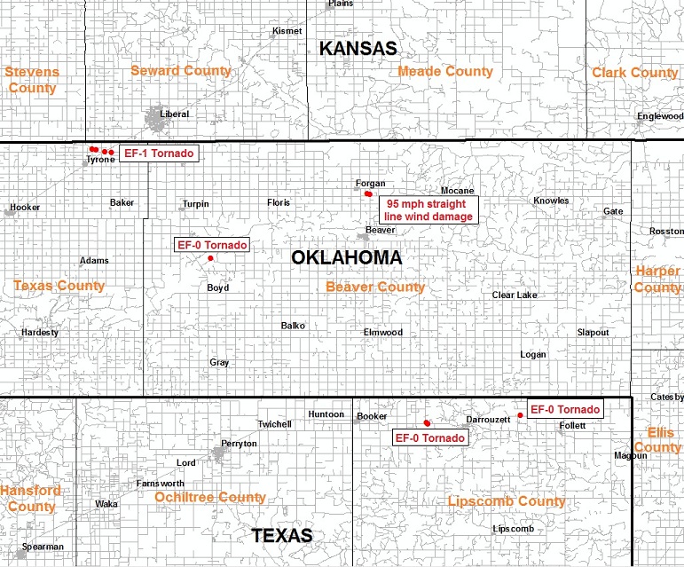
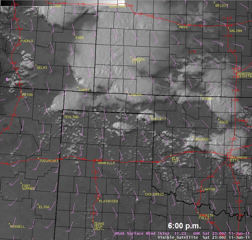
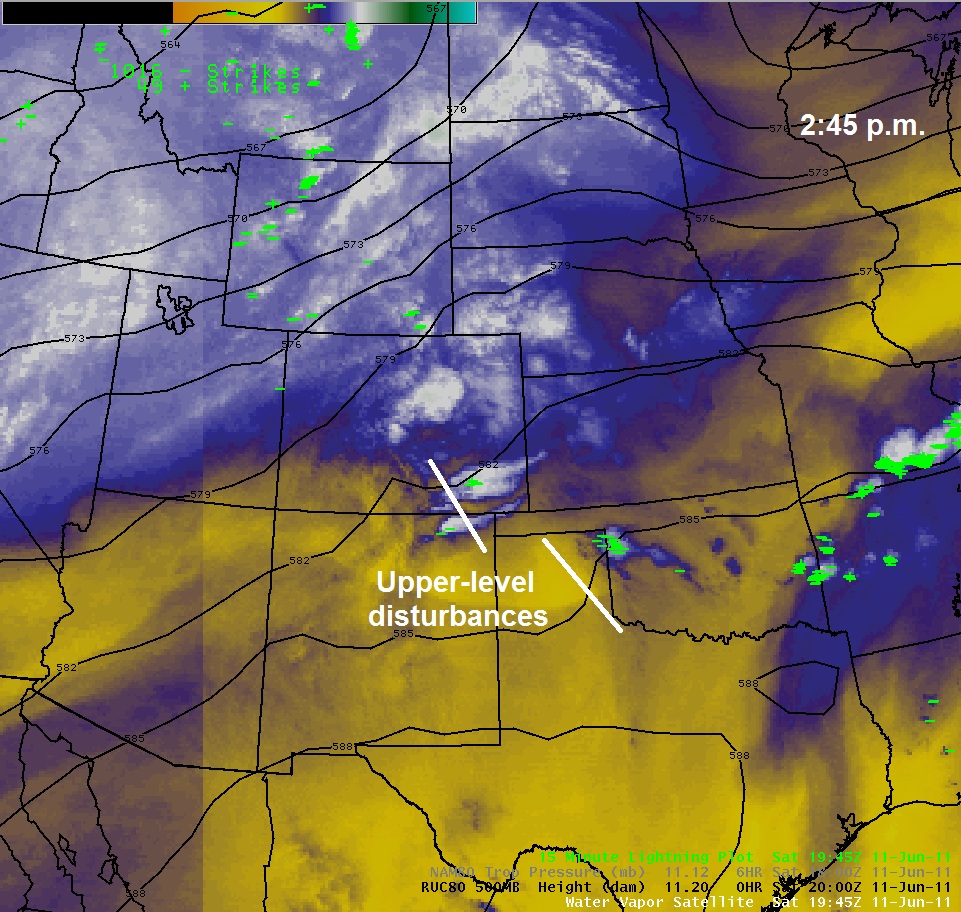
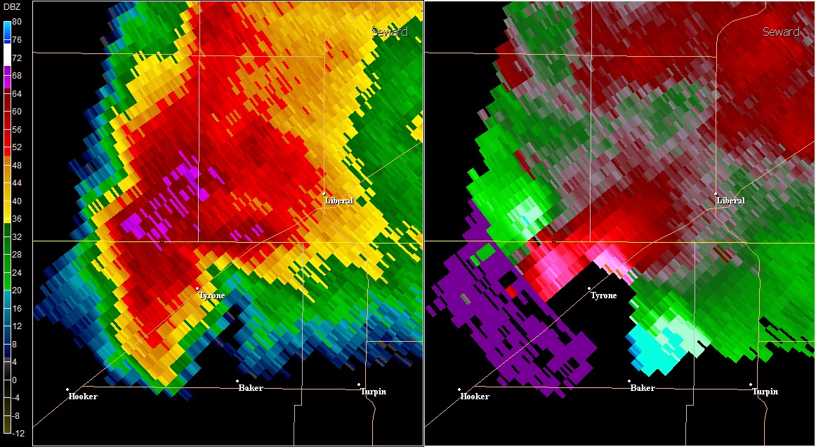
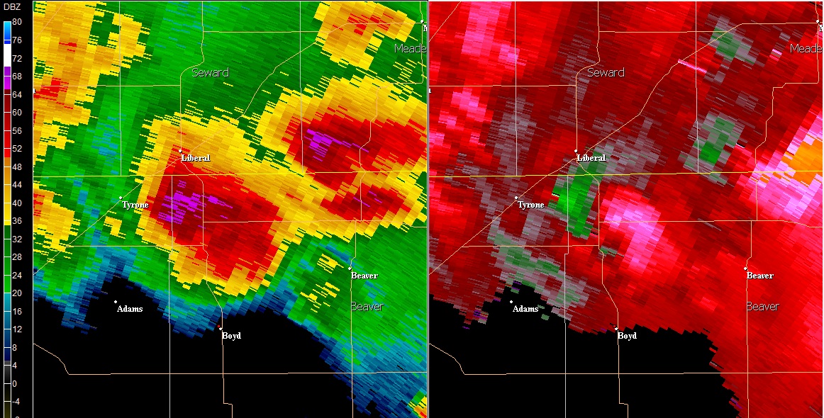
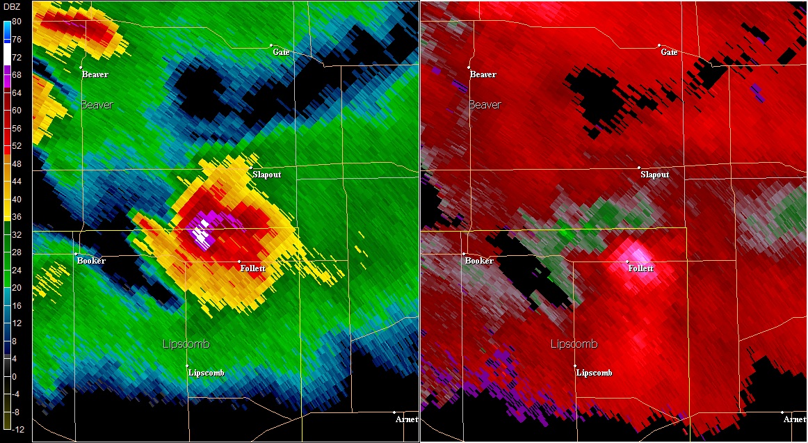
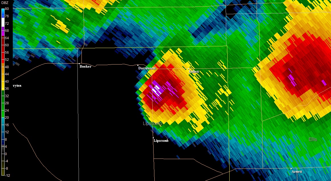
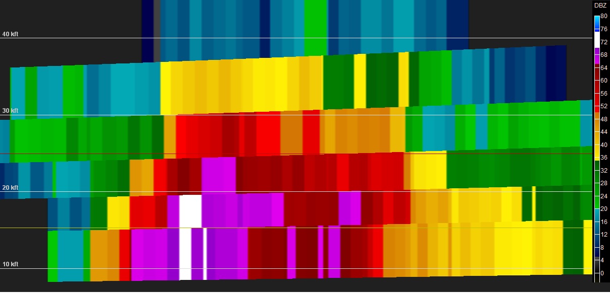
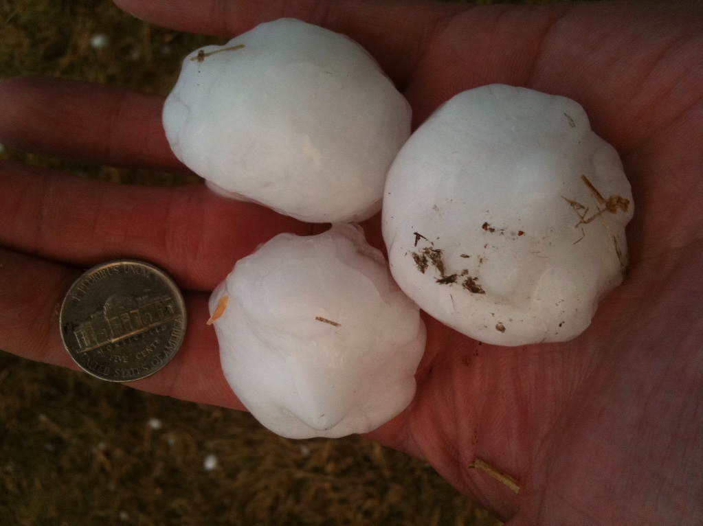
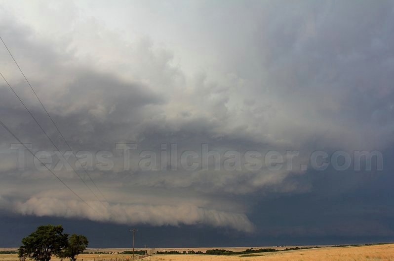
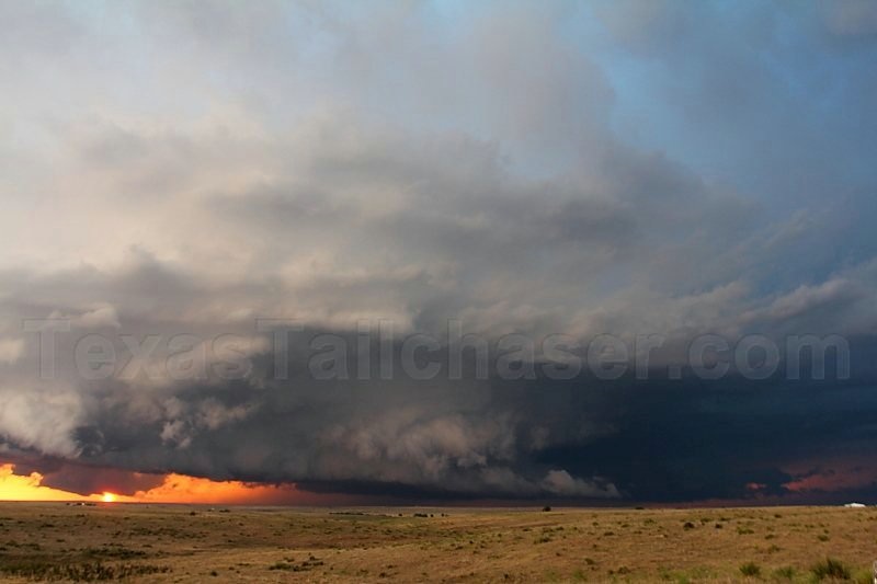
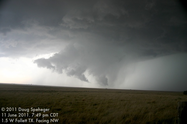
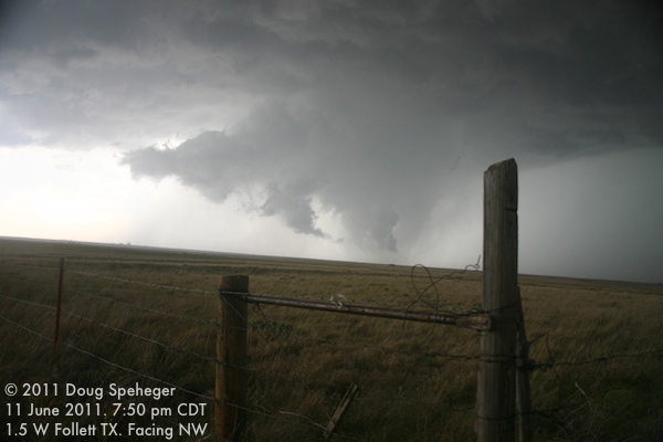
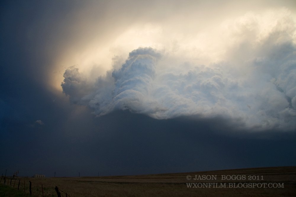
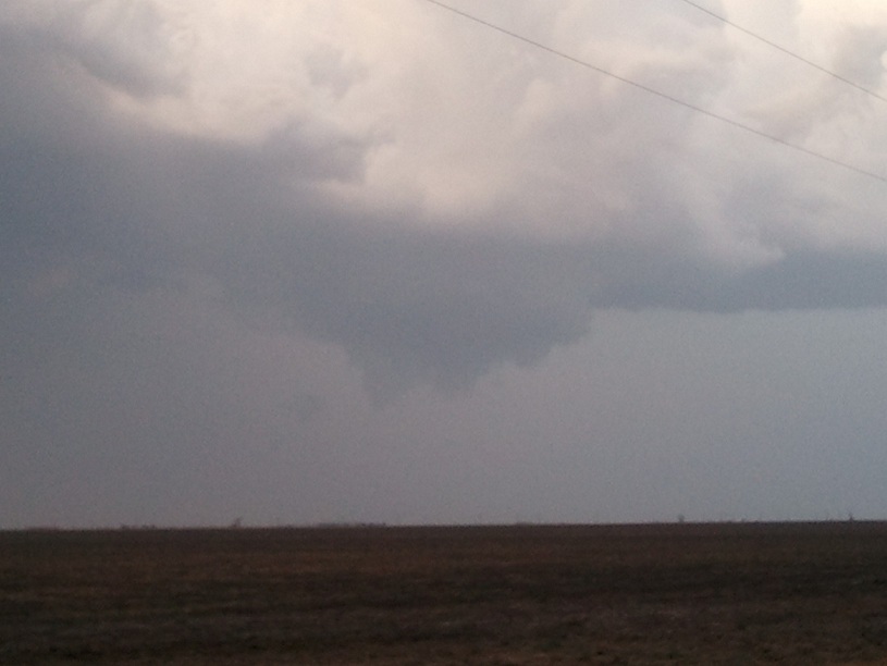
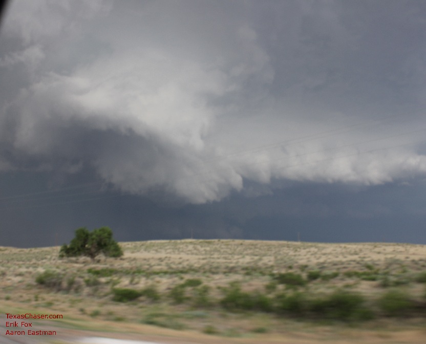
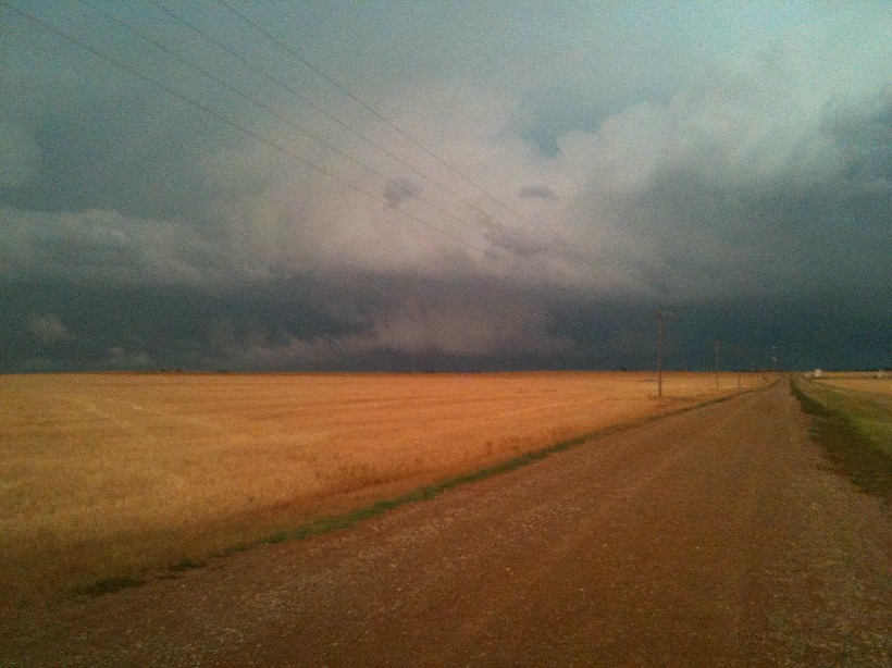
Severe weather has been a stranger to the Panhandles so far this spring. In fact, before June 11, this year marked the sixth latest date without a report of a tornado since 1950. However, that changed as a diffuse retreating warm front, a series of weak upper-level disturbances, and a moist surface upslope flow conspired to ignite thunderstorms across the Oklahoma Panhandle and the northeastern Texas Panhandle during the late afternoon hours of June 11. A favorable combination of instability and wind shear allowed severe supercell thunderstorms to develop quickly. These supercells were prolific hail producers, even dropping softball size hail 5 miles southwest of Beaver and 8 miles southwest of Darrouzett. The tornado drought ended as well. A storm survey crew from the National Weather Service in Amarillo confirmed that four tornadoes occurred in the area, including an EF-1 tornado near Tyrone, OK, an EF-0 just north of Boyd, OK, an EF-0 tornado near Darrouzett, TX, and another EF-0 tornado near Follett, TX. It was determined that very strong straight line winds up to 95 mph were responsible for overturning irrigation pivots and snapping a power pole near Forgan, OK. We would like to thank everyone that provided invaluable severe weather reports during this event!