
Much higher than typical October temperatures will continue across coastal southern California up through the Bay Area and Central Valley through midweek resulting in result in Major to Extreme HeatRisk. A tropical depression is likely to form over the Gulf of America during the middle part of this week with further strengthening possible as it moves northeastward later this week. Read More >
| May 28, 2013 Severe Storms | |||||||||||||||||||||||||||||||||
|
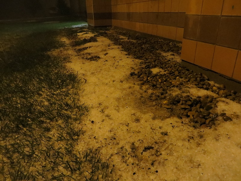
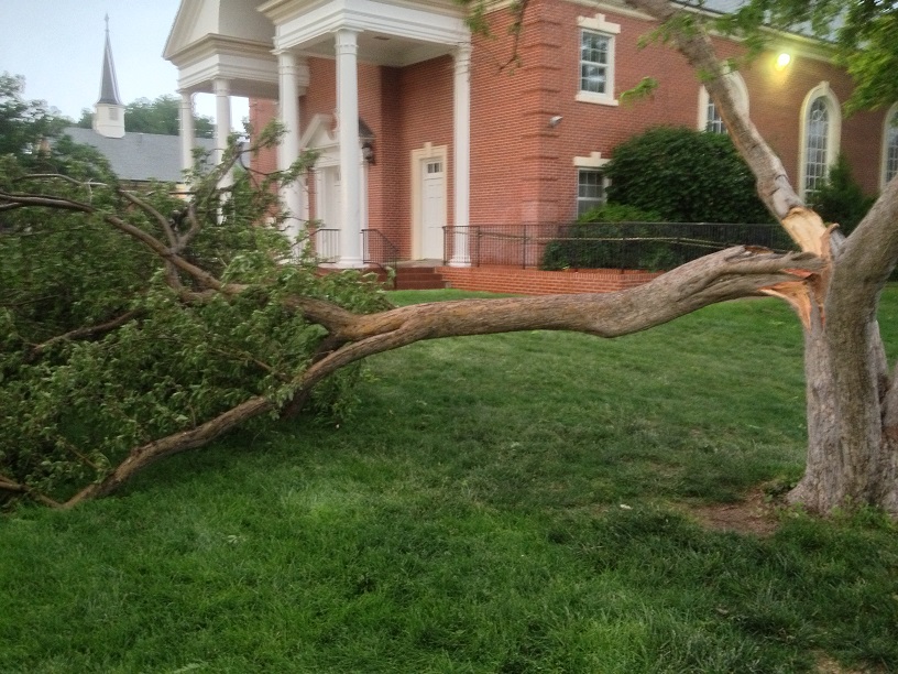
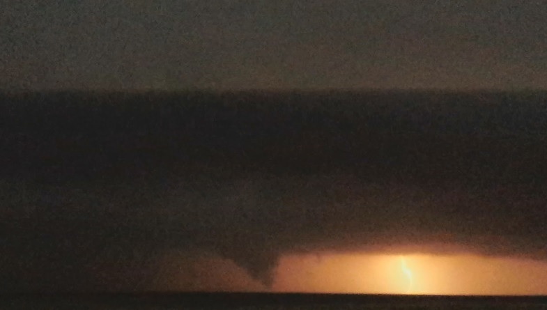
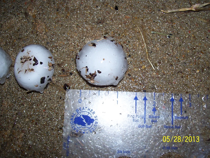
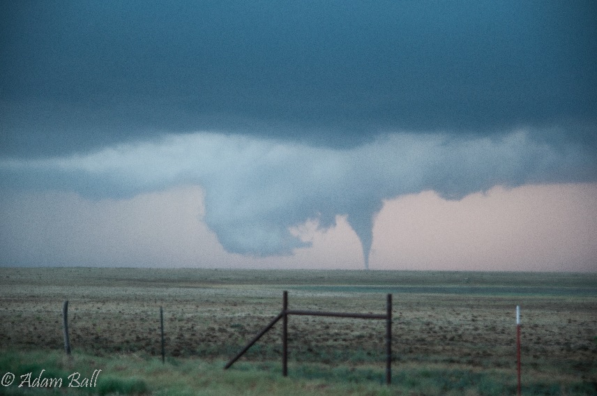
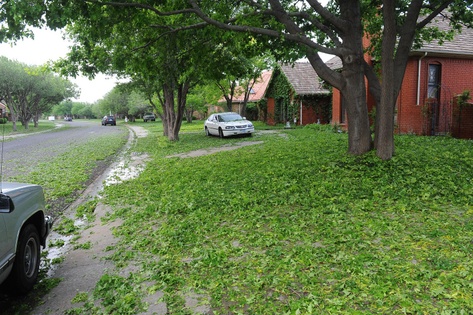
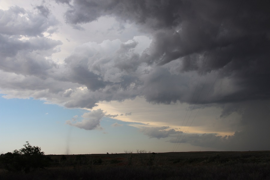
On the afternoon of Tuesday, May 28, 2013 storms developed along a retreating dryline and an old frontal boundary. In addition to multiple reports of hail and strong winds with severe storms, there were four tornadoes (two EF-0 tornadoes in Beaver County, OK and two EF-0 tornadoes in Deaf Smith County, TX). Also, with dissipating showers, many locations, including Amarillo experienced strong non-thunderstorm winds. In fact, the highest recorded wind gusts of the day (78 mph in Perryton and 71 mph in Amarillo) were both not associated with thunderstorms. Several funnel clouds were reported in and around the city of Amarillo shortly before midnight. In particular, a funnel cloud was reported west of the city limits at approximately 11:30 PM. Video evidence indicates this funnel lowered close to the ground. However, there has been no physical evidence that the funnel came in contact with the ground. The storm exited the city limits at approximately midnight after dropping large hail over portions of the city that caused damage to car dealerships and residential and commercial structures. The Amarillo Botanical Gardens suffered complete destruction due to hail up to the size of baseballs. |
|||||||||||||||||||||||||||||||||
 |
|||||||||||||||||||||||||||||||||
| STORM IMAGES | |||||||||||||||||||||||||||||||||
|
|||||||||||||||||||||||||||||||||
|
For information on severe weather on May 29, check our web story here. |








 Follow us on X
 Follow us on Facebook
 AMA RSS Feed