
Dangerous heat will expand from the Gulf Coast into the Southern Plains and Desert Southwest through week's end. Additional extreme heat impacting the Pacific Northwest will shift to the northern Plains by the weekend. Tropical Storm Bertha is expected to continue to impact portions of the northern Gulf Coast from the western Florida Panhandle to southeastern Louisiana through tonight. Read More >
Winter Precipitation Types
Winter weather is certainly not a stranger to the Texas and Oklahoma Panhandles from late fall through early spring. More often than not, the main precipitation type that is observed is snow. However, sleet and occasionally freezing rain also affect the Panhandles. What causes these different types of precipitation? The vertical temperature profile is the most important aspect in controlling whether snow, sleet, or freezing rain occurs. The vertical temperature profile is the temperature of the atmosphere at various heights above the surface. Just as important, in order for ice crystals (snow) to form, there needs to be sufficient saturation (relative humidity values of 70% higher) present within a layer known as the dendritic growth zone, or snow growth zone. This is a layer in the atmosphere with temperatures approximately between 10 and 0° F (-12° and -18°C) where snow forms. If there is not enough saturation present, snow and sleet will not form.
Snow
Let's start with one most people from the Texas and Oklahoma Panhandles are very familiar with, snow. In order for the surface precipitation type to be snow, the atmospheric temperature (dashed green line in image below) must be at or below 32°F (0°C) to ensure that no melting occurs. However, there are other special circumstances when snow can occur at the surface despite the entire atmosphere not being below freezing. The first situation occurs when there is a very shallow melting layer aloft with a maximum temperature in the melting layer less than 34°F (1°C). The melting layer is defined as the area of the atmosphere that is above freezing (32°F or 0°C) where frozen precipitation (snow or ice) starts to melt. The second situation occurs when the wet bulb zero height (the height where the evaporatively cooled temperature, goes below 32°F) is less than 1,500 feet. Wet snow is most likely to occur in both circumstances since the snow flake has only been partially melted.
 |
 |
|
Vertical Temperature profile which will produce snow |
Snow as it is falling and on the ground |
Sleet
In the vertical temperature profile of the atmosphere (pictured below) notice that the entire atmosphere is not below freezing. In fact, there is a thin layer above the surface that is above freezing. In this example, sleet would be the dominant precipitation type. Sleet occurs when a snow flake partially melts and then refreezes giving it a different shape and composition compared to snow. For partial melting to occur, the maximum temperature in the melting layer is typically between 34 and 38°F (1 and 3°C) and for a relatively thin layer (less than 2,000 feet thick). Sleet can be identified as it hits the ground since it bounces because it's made of hard ice, unlike snow or freezing rain which stick to the ground once they hit.
 |
 |
|
Vertical Temperature profile which will produce sleet |
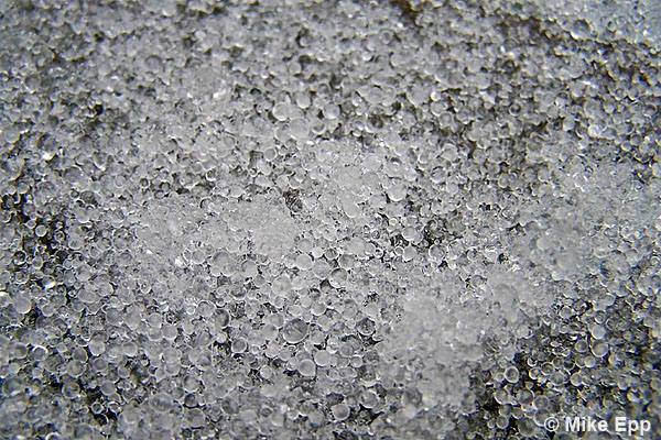
Sleet accumulating on the ground |
Freezing Rain
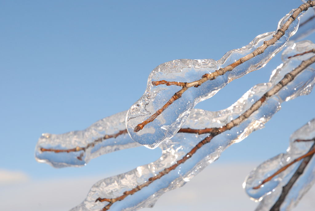
When the snow flake completely melts and the surface temperature is below freezing, freezing rain will be the dominant precipitation type. In the profile below, notice that there is a deep melting layer above the surface and a shallow freezing layer just above the surface. When the maximum temperature in the melting layer exceeds 38°F (3°C), the snow flake completely melts and becomes a rain drop. Since the freezing layer just above the surface is shallow, there is not enough time for the rain drops to freeze into sleet. As a result, the rain drops freeze on contact with the surface and can create very hazardous conditions. Not only can freezing rain lead to ice on roads, it can weigh down tree branches and power lines and cause power outages.
 |
 |
|
Vertical Temperature profile which will produce freezing rain |
Rain freezing and accumulating on a tree branch |

