There are no watches, warnings, or advisories at this time.
Forecast Rainfall Amounts Through Tuesday
Rain Chances Through Early This Week
Today's Beachcast
5-Day Outlook
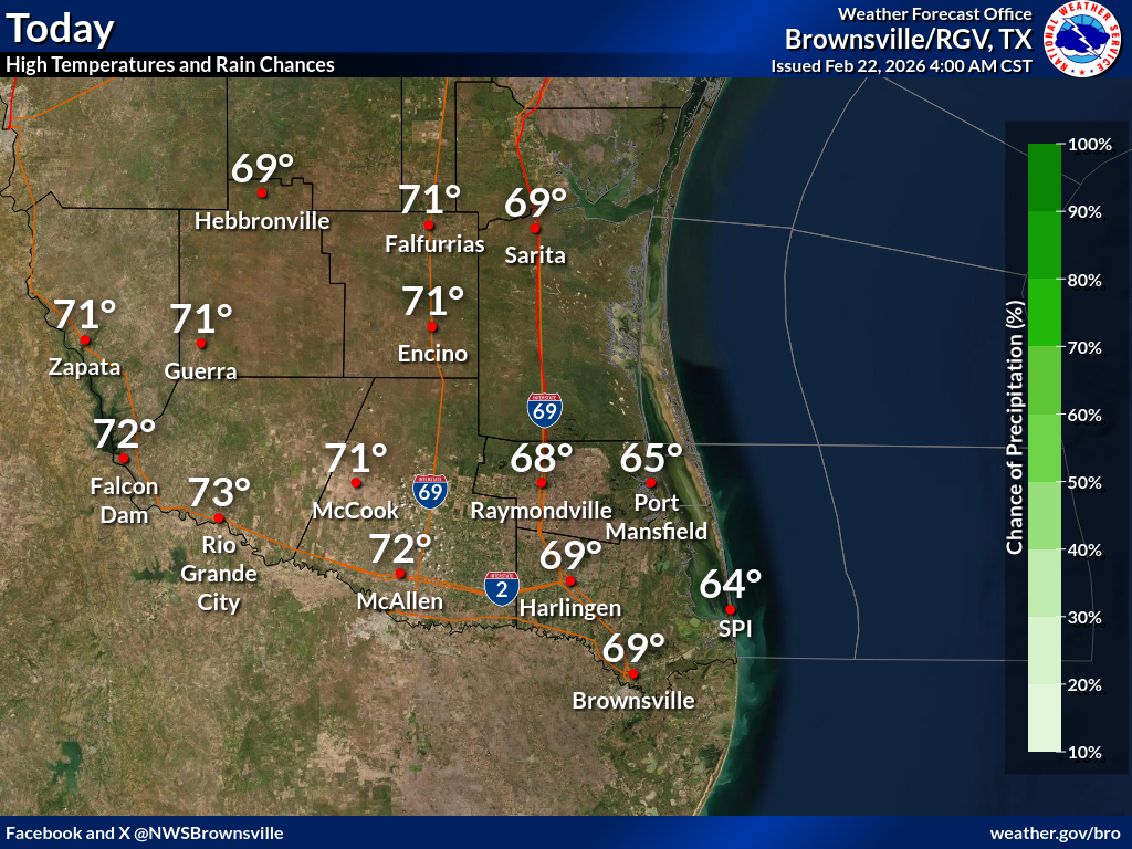
Today
Tonight
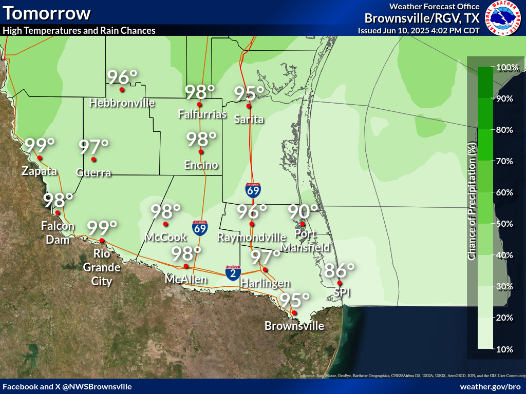
Tomorrow
Locally heavy rainfall may result in nuisance/minor flooding issues with any locally heavy rainfall, especially in low-lying, flood-prone, and urban areas through Tuesday.
The region remains in an unsettled weather pattern, with daily chances for showers and thunderstorms through early this week. Locally heavy rainfall may result in nuisance flooding issues, especially low-lying, flood-prone, and urban areas.
Unsettled weather through Wednesday, courtesy of low pressure in the middle layers of the atmosphere, will become dry and more tranquil towards the end of the week.
In the Location column, click on links for a list of recent observations at sites of interest. A new window will open.
In the Wind column, the letter indicates direction the wind blows from (N=North, E=East, S=South, W=West, NE=Northeast, etc). VRB is "variable" and G is "gust". Wind speeds are in MPH.
In the Baro (pressure) column, values are in inches.
In the Remarks column, HX is the Heat Index and WCI is Wind Chill Index (if shown). These are "Feels Like" temperatures. VSB is Visibility. "N/A" will be displayed if values are not available.
Text Product Selector (Selected product opens in current window)